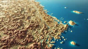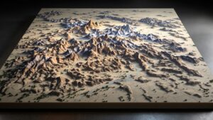
3D Topographic Map of Boulder, CO
A 3D topographic map of Boulder, CO brings the city’s dramatic terrain—Flatirons, canyons, foothills, and sweeping plains—into a sculptural masterpiece. This article explores Boulder’s landscape, the artistry of relief mapping, and how such a model is fabricated from raw elevation data into a stunning work of geographic art.