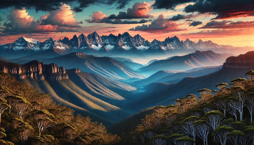
Landscapes and maps are mirrors of wonder, each telling a story that spans time and space. A map is more than lines and symbols; it\u2019s an invitation to imagine valleys shrouded in mist, rivers carving ancient paths, and mountains standing as sentinels of the Earths memory. Maps chart not just geography but possibility, tracing the curves of hillsides and the edges of oceans that beckon the soul to explore. They whisper of deserts where the wind sculpts the sand, forests where sunlight dances through emerald canopies, and plains where horizons stretch into eternity. Every fold and contour on a map hints at untold tales\u2014a forgotten ruin perched atop a crag, a hidden lagoon shimmering like a secret gem, or a village where the rhythms of life move to the heartbeat of the land. To unfold a map is to unlock the poetry of the Earth, a chance to traverse the tangible and the imaginary, where landscapes become living dreams waiting to be journeyed through.

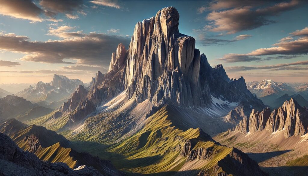
The Andes mountain range, stretching over 4,300 miles along the western edge of South America, is home to some of the most breathtaking and diverse landscapes on Earth. These dramatic terrains vary from towering peaks and vast deserts to otherworldly salt flats and lush valleys. In this list, we’ll explore ten of the most unique landscapes in the Andes, diving into their size, locations, intriguing histories, and the stories that make each of them extraordinary. Ranked by size, these destinations offer a glimpse into the immense beauty and variety of this remarkable region.
#1: Amazon Rainforest Foothills – 2.1 Million Square Miles
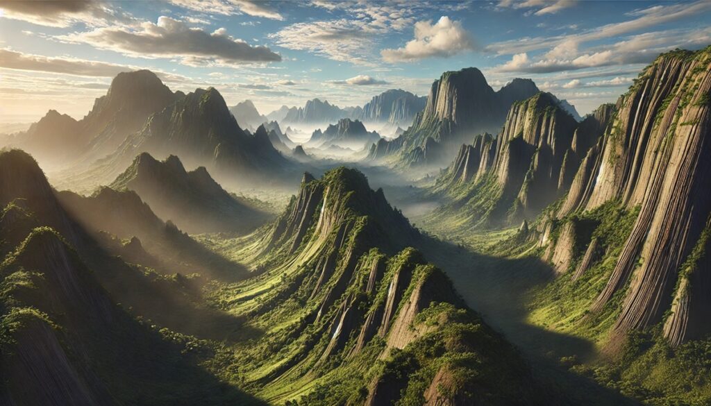
At the base of the Andes, the Amazon Rainforest foothills serve as the transition zone between the towering peaks and the dense jungle. Spanning an area of over 2.1 million square miles, this region is a critical ecological corridor teeming with biodiversity. Located across countries like Peru, Colombia, and Ecuador, these foothills are a tapestry of rivers, lush greenery, and unique wildlife. The humid air carries the scent of life, and the soundscape includes a cacophony of birds, insects, and flowing water. Historically, these areas were sacred to indigenous tribes who believed they were the cradle of creation. Today, adventurers come to marvel at the ecosystem and learn from the communities that have called it home for millennia.
Anecdotal stories from travelers often highlight the surreal experience of hiking through trails where the mountains loom in the distance, yet the vibrant jungle envelopes you entirely. It’s a place of stark contrasts: the towering Andes cast their shadows over a forest that buzzes with life, a juxtaposition that has inspired countless legends.
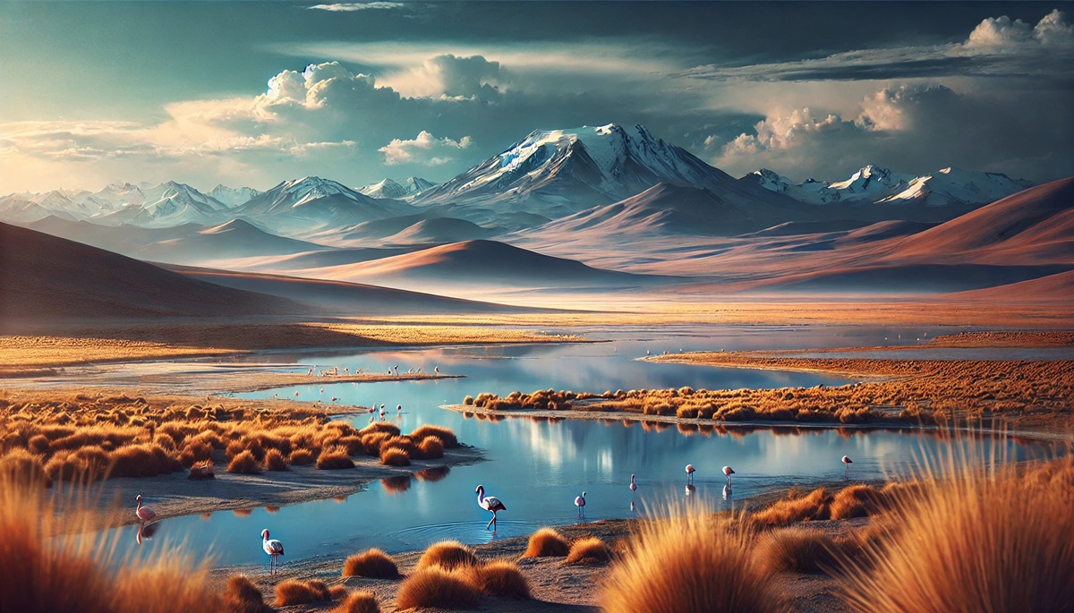
#2: Altiplano – 154,000 Square Miles
The Altiplano, or “high plain,” spans roughly 154,000 square miles across Bolivia, Peru, Chile, and Argentina. This high-altitude plateau, sitting at an average of 12,000 feet above sea level, is one of the most expansive and striking landscapes in the Andes. Its vast expanse is dotted with salt flats, lakes, and unique rock formations, making it feel almost extraterrestrial. The region’s Uyuni Salt Flat, the largest salt flat in the world, often steals the show with its mirror-like reflections during the rainy season.
For centuries, the Altiplano has been home to the Aymara and Quechua peoples, whose ancient traditions and architecture, like the enigmatic Tiwanaku ruins, offer a glimpse into a sophisticated civilization that thrived here long before the Incas. One unforgettable story involves the ancient belief that the region’s lakes were sacred and connected to the gods. Many travelers recount the breathtaking view of the sun rising over the expansive plains, casting a golden glow that illuminates the landscape’s mystical beauty.
#3: Atacama Desert – 41,000 Square Miles
The Atacama Desert, covering approximately 41,000 square miles, is the driest desert on Earth and stretches through northern Chile into parts of southern Peru. This otherworldly expanse is known for its Mars-like terrain, which has even been used by NASA to test rovers. Despite its arid reputation, the Atacama is a place of stark beauty, featuring salt flats, geysers, colorful lagoons, and sand dunes.
Indigenous cultures, like the Atacameño people, have thrived in the region for centuries, drawing life from its scarce resources. The Valley of the Moon, a key attraction, boasts wind-sculpted rock formations and landscapes that look as though they belong to another planet. Visitors often share tales of awe, standing under the clearest night skies in the world and feeling an indescribable connection to the universe. The region’s history of mining, from nitrate extraction to copper production, adds another layer of significance to this desolate yet vibrant land.
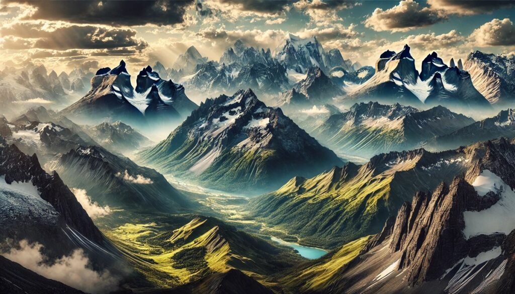
#4: Patagonia Andes – 260,000 Square Miles
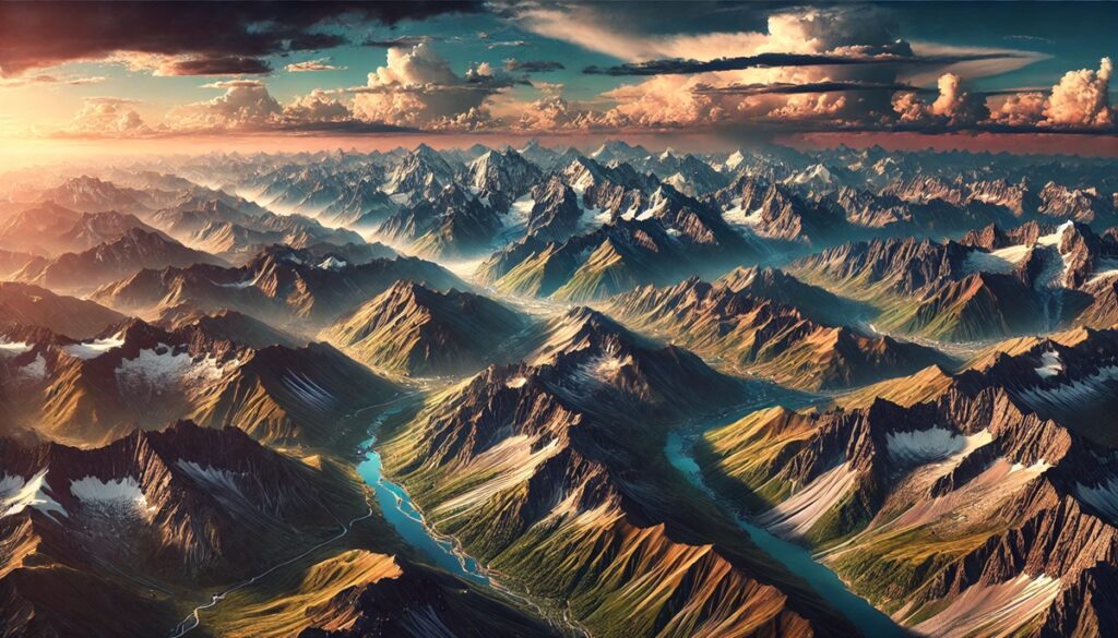
Patagonia’s portion of the Andes, covering roughly 260,000 square miles, is a landscape of dramatic contrasts. It’s where jagged peaks meet sprawling glaciers and emerald forests blend with turquoise lakes. Located in southern Chile and Argentina, this remote region is a haven for adventurers seeking pristine wilderness and solitude. Mount Fitz Roy and Torres del Paine National Park are among its iconic highlights.
Patagonia’s history is steeped in exploration and mystery. Indigenous peoples like the Tehuelche navigated its harsh environment long before European settlers arrived. Stories of explorers, such as Ferdinand Magellan, encountering the “Patagonian giants” reveal how the land’s sheer scale captivated early visitors. Modern travelers often recount braving the infamous Patagonian winds to witness glaciers calving into the ocean or trekking through lush valleys framed by snow-capped peaks, creating lifelong memories.
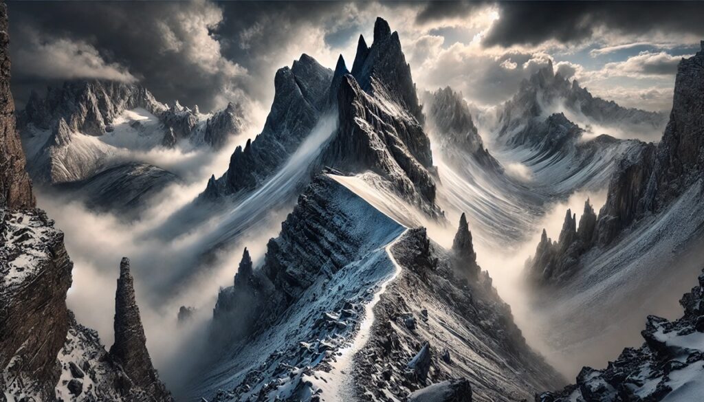
#5: Cordillera Blanca – 7,000 Square Miles
The Cordillera Blanca, spanning around 7,000 square miles in northern Peru, is the world’s highest tropical mountain range. Its 33 peaks rise above 18,000 feet, including Huascarán, Peru’s tallest mountain at 22,205 feet. This glacial wonderland offers turquoise lakes, deep valleys, and challenging trekking routes that attract mountaineers and nature enthusiasts alike.
This region is steeped in legend, with indigenous stories describing the mountains as gods who oversee the land. Visitors are often struck by the sight of Lago 69, a vibrant turquoise lake nestled beneath towering peaks, which has become a must-see for trekkers. In addition to its natural beauty, the Cordillera Blanca bears the scars of climate change, with receding glaciers serving as a stark reminder of environmental challenges. Tales of climbers braving extreme conditions to conquer its summits add to its mystique.
#6: Salar de Uyuni – 4,050 Square Miles
Salar de Uyuni, the largest salt flat in the world, spans 4,050 square miles in Bolivia’s Altiplano. This shimmering expanse of white salt, formed by the evaporation of ancient lakes, is both a visual wonder and a vital resource. During the rainy season, the flat transforms into a giant mirror, reflecting the sky and creating an almost surreal experience for visitors.
Beyond its natural beauty, Salar de Uyuni plays a crucial role in the global economy as a major source of lithium, a key component in rechargeable batteries. Indigenous communities have long regarded the area as sacred, believing it to be the tears of the sun and moon. Stories of travelers driving across the vast salt flats or watching the Milky Way reflect off its surface highlight its unparalleled magic.
#7: Colca Canyon – 3,270 Square Miles
Colca Canyon, located in southern Peru, is one of the world’s deepest canyons, reaching depths of over 10,000 feet. Spanning 3,270 square miles, this dramatic landscape is characterized by terraced fields, steep cliffs, and the majestic flight of the Andean condor. The canyon’s beauty and cultural significance make it a must-see destination.
The ancient Collagua and Cabana peoples sculpted terraces into the canyon walls, a confirmation to their ingenuity and resilience. Today, these terraces are still in use, blending historical and modern agricultural practices. Anecdotes from visitors often include thrilling encounters with condors soaring overhead or the challenge of hiking the canyon’s rugged trails.
#8: Cotopaxi Volcano – 200 Square Miles
Rising above the Ecuadorian Andes, Cotopaxi is one of the highest active volcanoes in the world, with a size of approximately 200 square miles. Its perfectly symmetrical cone, capped with snow, is a striking feature of the landscape and a symbol of the region’s volcanic activity.
Indigenous myths regard Cotopaxi as a sacred mountain, believed to control weather and fertility. Climbers from around the world are drawn to its slopes, and many recount the exhilarating experience of reaching its summit. The volcano’s eruptions have shaped the surrounding environment, creating fertile plains that support diverse wildlife.
#9: Valle de los Frailes – 150 Square Miles
The Valle de los Frailes, or “Valley of the Friars,” in Bolivia covers around 150 square miles and is known for its unusual rock formations that resemble monks in silent procession. These formations, carved by wind and water over millennia, give the valley its name and mystical atmosphere.
This lesser-known destination offers a quieter, more intimate connection to the Andes. Stories of travelers finding solitude and reflection among the towering rocks abound. Local legends suggest the valley’s shapes were created by petrified friars who disobeyed divine orders, adding an air of mystery to this stunning landscape.
#10: Quebrada de Humahuaca – 70 Square Miles
Located in northern Argentina, the Quebrada de Humahuaca spans 70 square miles and is a UNESCO World Heritage site. This narrow valley, surrounded by colorful mountains, is an important cultural and historical corridor. The vibrant colors of the hills, caused by varying mineral content, create a painter’s palette of reds, yellows, and greens.
The region’s history stretches back thousands of years, serving as a trade route for pre-Columbian civilizations. Today, visitors are drawn to its cultural festivals, traditional villages, and breathtaking views. Anecdotes often describe the awe of witnessing the “Hill of Seven Colors” at sunrise, when the light enhances the valley’s stunning hues.
The Andes are a witness to the raw power and beauty of nature. Each unique landscape within this vast mountain range tells a story of geological wonder, cultural heritage, and human resilience. From the lush Amazon Rainforest foothills to the stark beauty of the Atacama Desert, these terrains captivate all who visit. The variety of ecosystems and histories woven throughout the Andes make it a region unlike any other, inviting travelers to explore and be inspired by its unparalleled splendor.