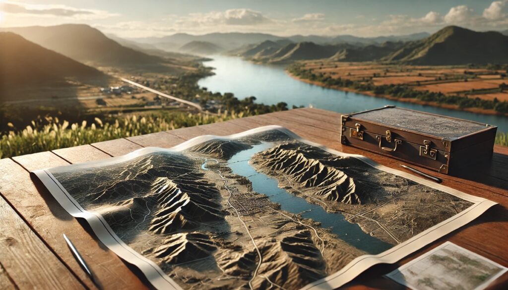
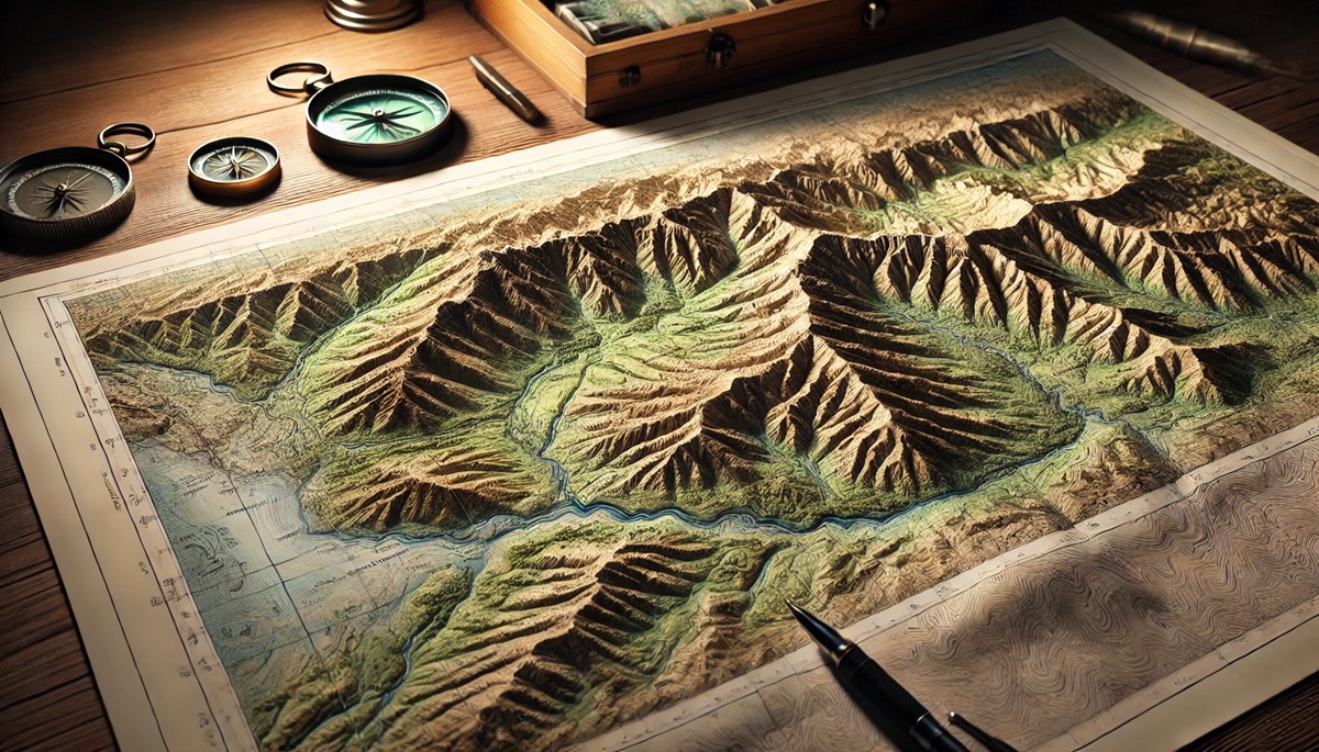
Topographic maps are among the most fascinating and practical tools in cartography, offering detailed insights into the Earth’s surface. These maps showcase elevation, terrain features, and landmarks through contour lines, shading, and other visual techniques, enabling explorers, scientists, and adventurers to navigate complex landscapes. The top 10 topographic maps listed here have left an indelible mark on geography, exploration, and history. Each map tells a unique story of discovery and innovation.
#1: USGS Topographic Map Series – Over 3 Million Square Miles
The United States Geological Survey (USGS) Topographic Map Series is one of the most extensive and detailed topographic collections in the world, covering the entirety of the United States. Spanning over 3 million square miles, these maps are produced at scales ranging from 1:24,000 to 1:250,000, providing unparalleled detail of natural and manmade features.
Launched in the late 19th century, the USGS topographic maps have become indispensable for hikers, engineers, and geologists. Their detailed contour lines and precision make them a gold standard in cartography. Stories from surveyors traversing rugged terrains to map uncharted areas highlight the dedication and expertise behind these iconic maps.
#2: Ordnance Survey Maps of the UK – 94,000 Square Miles
The Ordnance Survey maps of the United Kingdom cover approximately 94,000 square miles in remarkable detail. First established in 1791 to support military needs, the Ordnance Survey quickly became a vital resource for civilians, offering detailed representations of landscapes, infrastructure, and landmarks.
These maps have evolved with technology, from hand-drawn versions to digital formats accessible online. Anecdotes of Victorian explorers relying on these maps to navigate the British countryside underscore their historical significance and practicality.

#3: SwissTopo Maps – 16,000 Square Miles
SwissTopo maps are renowned for their precision and aesthetic appeal, covering Switzerland’s 16,000 square miles of breathtaking landscapes. Created with a focus on the Alps, these maps use meticulous shading and contouring to capture the rugged terrain.
SwissTopo maps are a favorite among mountaineers, skiers, and geologists. Stories of climbers relying on these maps to conquer peaks like the Matterhorn illustrate their reliability and artistry.
#4: Carte de l’État-Major (France) – 212,000 Square Miles
The Carte de l’État-Major, created in the 19th century, is a detailed topographic representation of France, covering approximately 212,000 square miles. These maps were initially developed for military purposes but quickly gained civilian use for navigation and planning.
Rich in historical context, these maps showcase France’s varied landscapes, from the rolling vineyards of Bordeaux to the peaks of the Alps. Anecdotes from the Napoleonic Wars highlight their strategic importance.
#5: Canadian Topographic Maps – 3.8 Million Square Miles
The Canadian Topographic Maps, produced by Natural Resources Canada, cover the country’s vast 3.8 million square miles. These maps depict forests, lakes, and tundra with exceptional accuracy, using scales such as 1:50,000 and 1:250,000.
Stories of explorers and researchers using these maps to navigate remote regions, such as the Arctic, illustrate their critical role in understanding Canada’s expansive wilderness.
#6: Australian Geoscience Topographic Maps – 2.9 Million Square Miles
Covering Australia’s 2.9 million square miles, these maps are essential for navigating the country’s diverse terrain, from arid deserts to lush rainforests. Produced by Geoscience Australia, these maps provide detailed information on elevation, hydrography, and land use.
Anecdotes from outback adventurers and environmental scientists highlight the maps’ importance in studying Australia’s unique landscapes.
#7: Soviet Military Maps – Global Coverage
The Soviet Military Maps represent one of the most ambitious topographic projects in history, offering detailed coverage of the entire globe. Produced during the Cold War, these maps range in scale from 1:25,000 to 1:1,000,000, making them valuable for both military and civilian use.
Stories of hikers and explorers discovering these maps in archives underscore their lasting utility and intrigue.
#8: USGS National Map – Nationwide Digital Access
The USGS National Map is a modern digital platform that provides seamless access to topographic data for the entire United States. Unlike traditional paper maps, this interactive system allows users to customize and download maps tailored to specific needs.
Stories of scientists using this platform to study climate change and natural disasters highlight its relevance in the digital age.
#9: New Zealand Topo Maps – 103,000 Square Miles
The New Zealand Topo Maps cover the country’s 103,000 square miles, showcasing its stunning mountains, fjords, and coastlines. These maps are essential for hikers exploring iconic trails like the Milford Track.
Anecdotes from outdoor enthusiasts and conservationists emphasize the maps’ role in preserving and exploring New Zealand’s natural beauty.
#10: Himalayan Topographic Maps – 230,000 Square Miles
The Himalayan Topographic Maps capture the world’s tallest mountain range, spanning 230,000 square miles across several countries. These maps are crucial for climbers attempting peaks like Everest and K2.
Stories of expeditions relying on these maps for navigation and survival highlight their significance in one of the most challenging environments on Earth.
Topographic maps offer a window into the Earth’s intricate details, providing insights into elevation, terrain, and natural features. From national mapping efforts to global projects, these top 10 maps exemplify the power of cartography in exploration, science, and adventure. Each map represents a unique blend of precision and artistry, shaping how we navigate and understand the world.