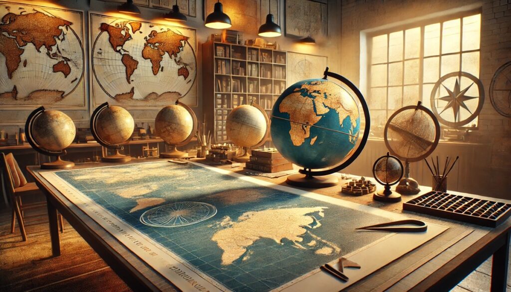
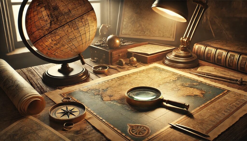
Cartographers have shaped the way humanity understands and navigates the world. Their work transcends geography, blending art, science, and exploration to chart the Earth and beyond. From ancient pioneers who used rudimentary tools to modern innovators transforming mapping through technology, these individuals have left an indelible mark on history. Here are the top 10 cartographers whose contributions have stood the test of time, offering insights into their work, lives, and legacies.
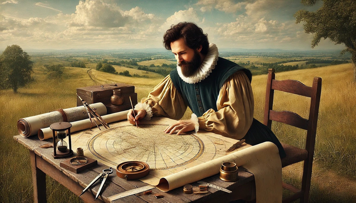
#1: Gerardus Mercator – 1512-1594
Gerardus Mercator, born in Rupelmonde, Flanders, is best known for creating the Mercator projection in 1569, a map that revolutionized navigation. The projection preserved accurate compass bearings, essential for sailors during the Age of Exploration. Though his projection distorted landmasses near the poles, its practicality for maritime travel made it indispensable for centuries. Mercator also introduced the term “atlas” to describe a collection of maps, coining a legacy that persists today.
Mercator’s work combined precision and artistry. He meticulously engraved his maps, often embellishing them with detailed illustrations of ships, sea monsters, and mythical figures. An anecdote often told about Mercator is how his innovative ideas earned him accusations of heresy, leading to brief imprisonment. Despite this, his contributions laid the foundation for modern cartography, and his projection remains a cornerstone of geographic understanding.
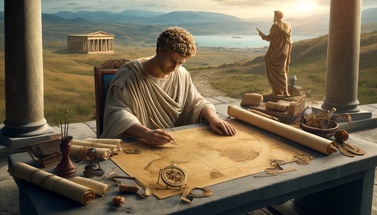
#2: Claudius Ptolemy – 100-170 AD
Claudius Ptolemy, an ancient Greek scholar, authored Geographia, a comprehensive treatise on cartography and geography. Ptolemy’s work introduced latitude and longitude, providing the first systematic framework for mapping the world. His maps, rediscovered during the Renaissance, shaped the explorations of figures like Columbus and Magellan.
Ptolemy’s influence extended far beyond his time. His methods for projecting the spherical Earth onto flat maps were revolutionary, and his descriptions of distant lands ignited curiosity about the unknown. Ptolemy’s work illustrates the enduring power of ideas, bridging ancient knowledge with the modern world.
#3: Muhammad al-Idrisi – 1100-1165
Muhammad al-Idrisi, a Muslim geographer and cartographer, created the Tabula Rogeriana in 1154 for King Roger II of Sicily. This map was the most accurate representation of the known world at the time, combining knowledge from Islamic, European, and African sources. Al-Idrisi’s work flipped traditional orientation, placing south at the top of the map, reflecting a different cultural perspective.
Al-Idrisi’s maps were not only geographic but also economic, detailing trade routes and resources. His contributions bridged cultures and expanded global knowledge, influencing future cartographers and explorers.
#4: John Snow – 1813-1858
John Snow, an English physician, is renowned for his groundbreaking cholera map in 1854, which identified the source of a deadly outbreak in London. Using spatial analysis, Snow pinpointed a contaminated water pump, demonstrating the power of cartography in public health. His work marked the birth of modern epidemiology.
Snow’s innovative approach showed how maps could solve real-world problems beyond navigation. His cholera map remains a confirmation to the interdisciplinary nature of cartography, blending geography, science, and social impact.
#5: Abraham Ortelius – 1527-1598
Abraham Ortelius, a Flemish cartographer, is credited with creating the first modern atlas, Theatrum Orbis Terrarum (Theatre of the World), in 1570. His atlas compiled maps from various sources, presenting them in a unified and accessible format. Ortelius’s work popularized the idea of viewing the world as a connected whole.
Ortelius was among the first to hypothesize continental drift, observing similarities between the coastlines of Africa and South America. His vision and curiosity exemplify the evolving role of cartographers as scientists and storytellers.
#6: Eratosthenes – 276-194 BC
Eratosthenes, a Greek mathematician and geographer, calculated the Earth’s circumference with remarkable accuracy using simple geometry and observations of shadows. His innovative methods laid the groundwork for future cartography and geographic science.
Often referred to as the “Father of Geography,” Eratosthenes’s work demonstrated the power of observation and reason. His achievements remind us of the profound impact of curiosity and intellectual rigor.
#7: Marie Tharp – 1920-2006
Marie Tharp, an American geologist and oceanographic cartographer, played a pivotal role in mapping the ocean floor. Her work revealed the Mid-Atlantic Ridge and provided critical evidence for the theory of plate tectonics. Tharp’s maps transformed our understanding of Earth’s geology and inspired new fields of study.
Tharp faced significant challenges as a woman in a male-dominated field but persevered, leaving a legacy of scientific discovery and innovation. Her story is one of determination and brilliance.
#8: Matthew Fontaine Maury – 1806-1873
Known as the “Pathfinder of the Seas,” Matthew Fontaine Maury was an American naval officer and cartographer who revolutionized maritime navigation. His wind and current charts, compiled from ship logs, improved the safety and efficiency of sea travel. Maury’s work also contributed to oceanography and meteorology.
Maury’s vision of connecting continents through the sea exemplifies the transformative power of cartography. His efforts continue to influence navigation and environmental science.
#9: Buckminster Fuller – 1895-1983
Buckminster Fuller, an American inventor and visionary, created the Dymaxion Map, which reimagined the globe as a flat icosahedron. His design minimized distortion and emphasized global interconnectedness, challenging traditional perspectives.
Fuller’s work reflects his belief in sustainability and collaboration. His Dymaxion Map remains a symbol of innovation and the potential of cartography to inspire new ways of thinking.
#10: Arthur Robinson – 1915-2004
Arthur Robinson, an American cartographer, is best known for creating the Robinson projection in 1963. Designed to balance distortions, his projection became a standard for educational and thematic maps. Robinson’s work emphasized clarity and aesthetics, making geography accessible to broader audiences.
Robinson’s maps, adopted by institutions like National Geographic, highlight the evolving role of cartography in education and communication. His contributions continue to shape how we see the world.
These top 10 cartographers represent the diversity and depth of cartographic history, blending science, artistry, and exploration. Their work has not only mapped the Earth but also inspired generations to understand and connect with the world in new ways. Each name on this list reflects the enduring impact of cartography on humanity’s journey of discovery.