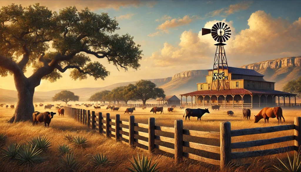
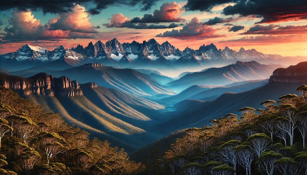
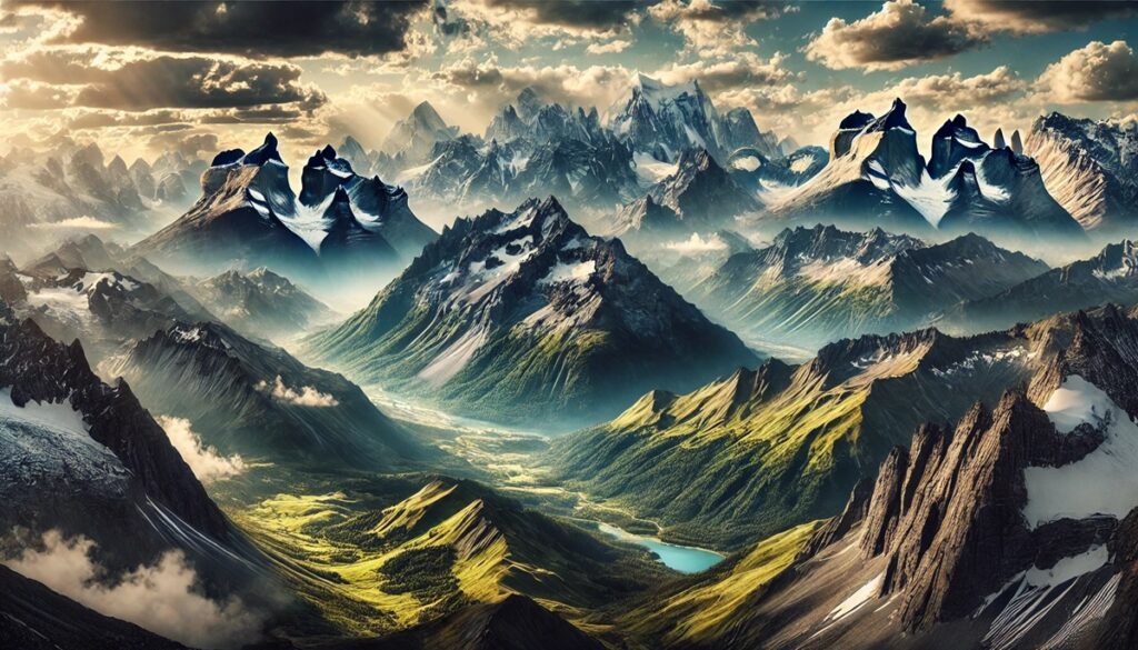
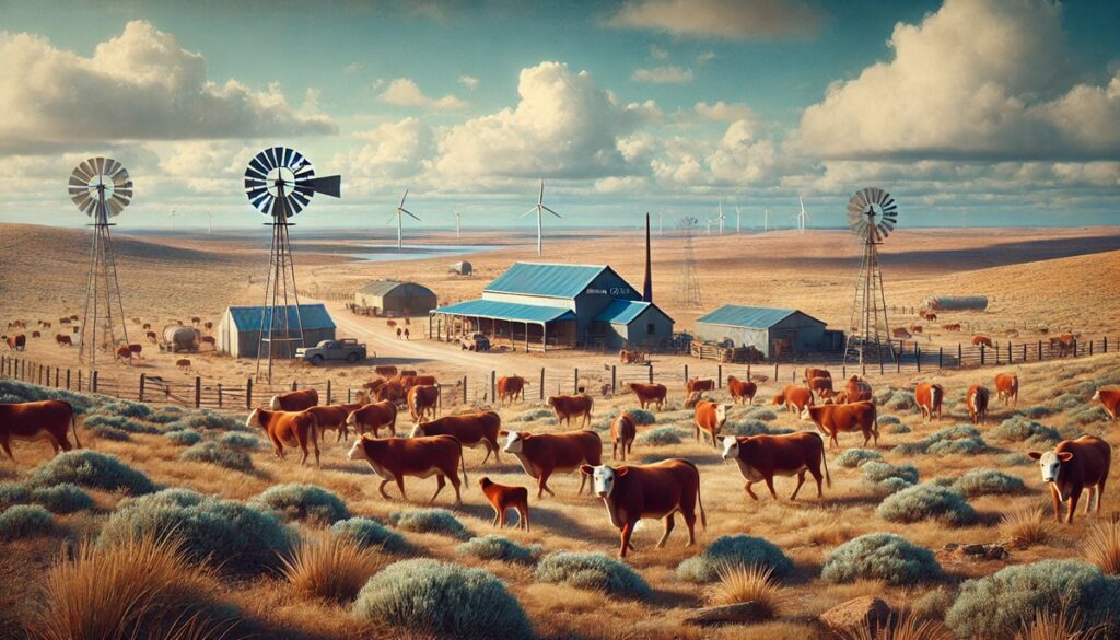
Australia and Oceania are often celebrated for their unique landscapes, from the vast deserts of the Outback to the tropical islands of the Pacific. Among these diverse terrains lie some of the most fascinating and picturesque mountain ranges, each with its own story, geological significance, and natural beauty. These ranges provide a haven for unique flora and fauna, rich cultural history, and breathtaking scenery that has captivated explorers and nature enthusiasts alike. Here are the top 10 mountain ranges in Australia and Oceania, ranked by size and importance.
#1: Great Dividing Range – 2,300 Miles
The Great Dividing Range is the longest mountain range in Australia, stretching 2,300 miles along the eastern coastline from Queensland to Victoria. This ancient range is home to Mount Kosciuszko, Australia’s highest peak at 7,310 feet. Known for its diverse ecosystems, the range supports everything from lush rainforests to snow-capped peaks. Historically, the Great Dividing Range served as a natural barrier for early European settlers and remains an essential water source for the region.
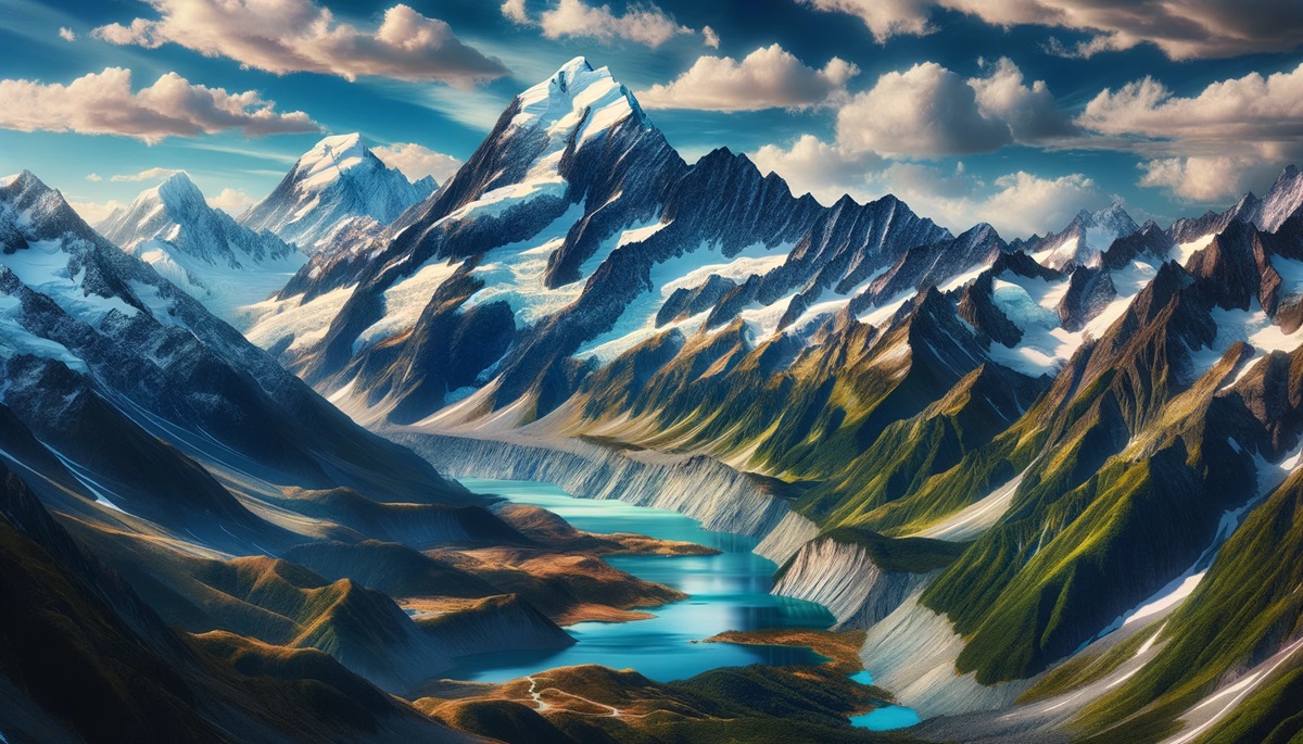
#2: Southern Alps – 300 Miles
The Southern Alps dominate New Zealand’s South Island, extending 300 miles from Fiordland to Nelson Lakes. Known for their jagged peaks, including Aoraki/Mount Cook at 12,218 feet, the range is a favorite among mountaineers and hikers. The glaciers and alpine lakes make the Southern Alps a UNESCO World Heritage Site. Maori legends tell of the creation of these peaks as a frozen canoe of the gods.
#3: Owen Stanley Range – 230 Miles
Located in Papua New Guinea, the Owen Stanley Range stretches 230 miles across the island’s southeast. Its rugged terrain includes Mount Victoria, the highest peak at 13,045 feet. The range is historically significant as the site of the World War II Kokoda Track campaign. Today, it draws trekkers from around the world who seek to follow in the footsteps of those who traversed its dense forests and steep trails.
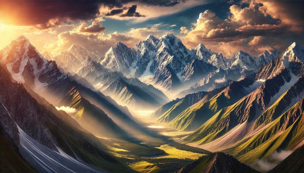
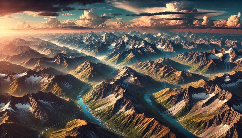
#4: New Guinea Highlands – 620 Miles
The New Guinea Highlands, also known as the Central Cordillera, span 620 miles through the island of New Guinea, which is shared by Papua New Guinea and Indonesia. These mountains are home to the towering Puncak Jaya, the highest peak in Oceania at 16,024 feet. The Highlands are a cultural heartland, with ancient tribes thriving in its valleys for thousands of years.
#5: Australian Alps – 250 Miles
The Australian Alps form the highest section of the Great Dividing Range, stretching 250 miles across southeastern New South Wales, Victoria, and the Australian Capital Territory. This range is known for its ski resorts, pristine rivers, and national parks. The Alps also play a critical role in Aboriginal culture, serving as a spiritual and ceremonial site for thousands of years.
#6: Bismarck Range – 230 Miles
The Bismarck Range, located in Papua New Guinea, includes Mount Wilhelm, the country’s highest peak at 14,793 feet. The range is named after German Chancellor Otto von Bismarck and is renowned for its diverse ecosystems, from alpine meadows to tropical rainforests. It’s a haven for rare species such as tree kangaroos and exotic orchids.
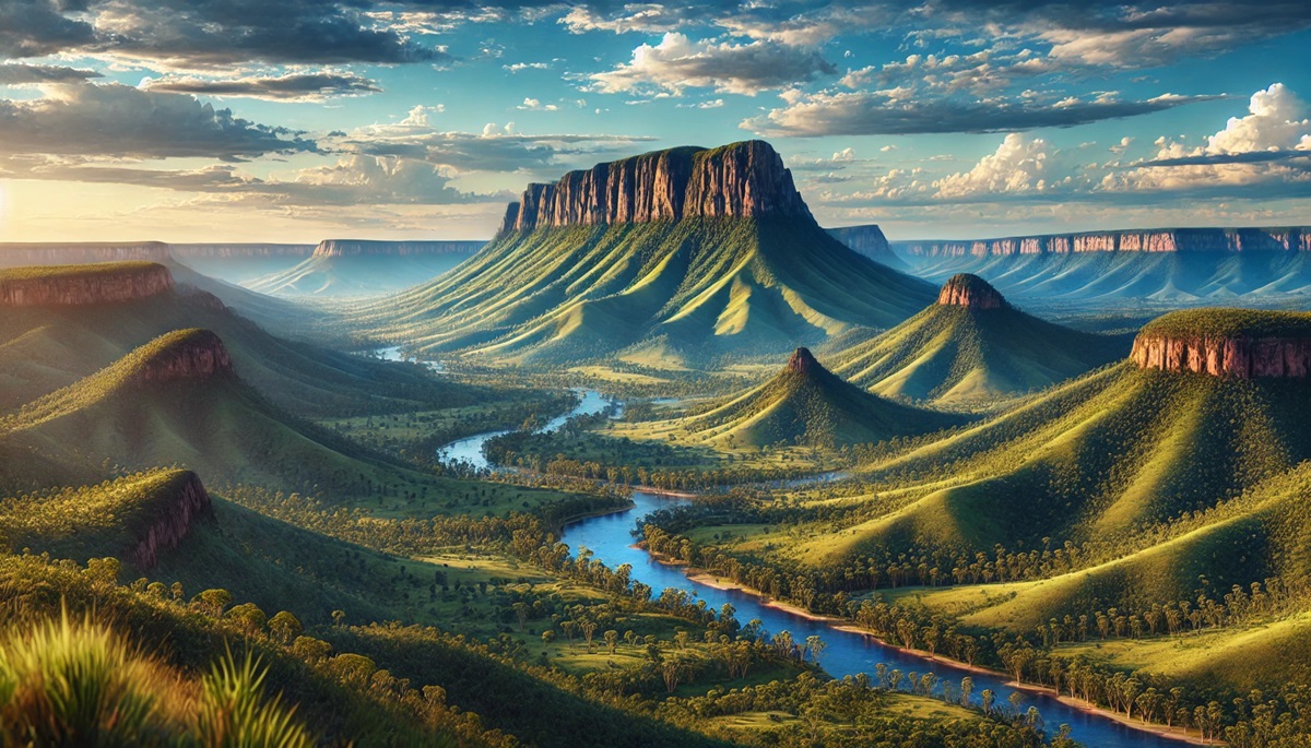
#7: MacDonnell Ranges – 400 Miles
The MacDonnell Ranges stretch 400 miles across Australia’s Northern Territory. Known for their ancient red rock formations, they are a geological marvel, with some parts over 300 million years old. The ranges are home to sacred Aboriginal sites like Simpson’s Gap and Ellery Creek Big Hole. Their unique landscapes attract geologists and adventurers alike.
#8: Snowy Mountains – 120 Miles
The Snowy Mountains, part of the Great Dividing Range, are renowned for their alpine beauty and Australia’s highest peak, Mount Kosciuszko. The region offers skiing in winter and hiking in summer, drawing outdoor enthusiasts year-round. The Snowy Mountains Scheme, a massive hydroelectric project, transformed the area into an engineering marvel, harnessing its rivers for energy and irrigation.
#9: Blue Mountains – 60 Miles
Located near Sydney, the Blue Mountains are famous for their dramatic cliffs, eucalyptus forests, and the iconic Three Sisters rock formation. The range derives its name from the bluish haze created by the oil released by eucalyptus trees. The Blue Mountains are a UNESCO World Heritage Site, offering rich Aboriginal heritage and world-class hiking trails.
#10: Dandenong Ranges – 20 Miles
Situated near Melbourne, the Dandenong Ranges are a smaller but equally stunning mountain range. Known for their lush fern gullies and towering eucalyptus trees, they offer a peaceful retreat from urban life. The Puffing Billy Railway, a historic steam train, takes visitors on a scenic journey through the range.
The mountain ranges of Australia and Oceania are as diverse as the regions they inhabit, offering breathtaking scenery, rich history, and cultural significance. From the towering peaks of the Southern Alps to the rugged Owen Stanley Range, these mountains tell stories of ancient geology, vibrant ecosystems, and human resilience. They stand as natural wonders and treasured landmarks, inviting exploration and admiration from all who visit.