Springs are nature’s faucets, where water emerges from the ground to form pools, streams, and rivers, creating oases of life and wonder. In the United States, the largest springs are spectacular features that combine geological intrigue, ecological diversity, and historical significance. These springs serve as vital water sources and have long been revered for their beauty and utility. Here, we explore the top 10 largest springs in the United States, ranked by average discharge, to uncover their sizes, fascinating stories, and the role they play in their respective regions.
#1: Big Spring – 470 Million Gallons Per Day
Located in Missouri’s Ozark National Scenic Riverways, Big Spring is the largest spring in the United States by water volume, discharging an average of 470 million gallons per day. The spring’s vibrant blue waters emerge from a massive limestone fissure and feed into the Current River, creating a picturesque scene surrounded by lush forests. Big Spring has been a haven for wildlife and humans for centuries, with Native American tribes relying on it as a water source. The site became a popular tourist destination in the 20th century, attracting visitors with its beauty and recreational opportunities.
#2: Silver Springs – 550 Million Gallons Per Day
Silver Springs in Florida is famous for its crystal-clear waters and historical glass-bottom boat tours. Discharging around 550 million gallons per day, it is one of the largest artesian springs in the world. The spring feeds the Silver River, a vital waterway for the region’s ecosystem. Once a filming location for movies like Tarzan and Creature from the Black Lagoon, Silver Springs also holds cultural significance. Anecdotes of steamboats navigating the spring during Florida’s early tourism boom add a nostalgic touch to its history.

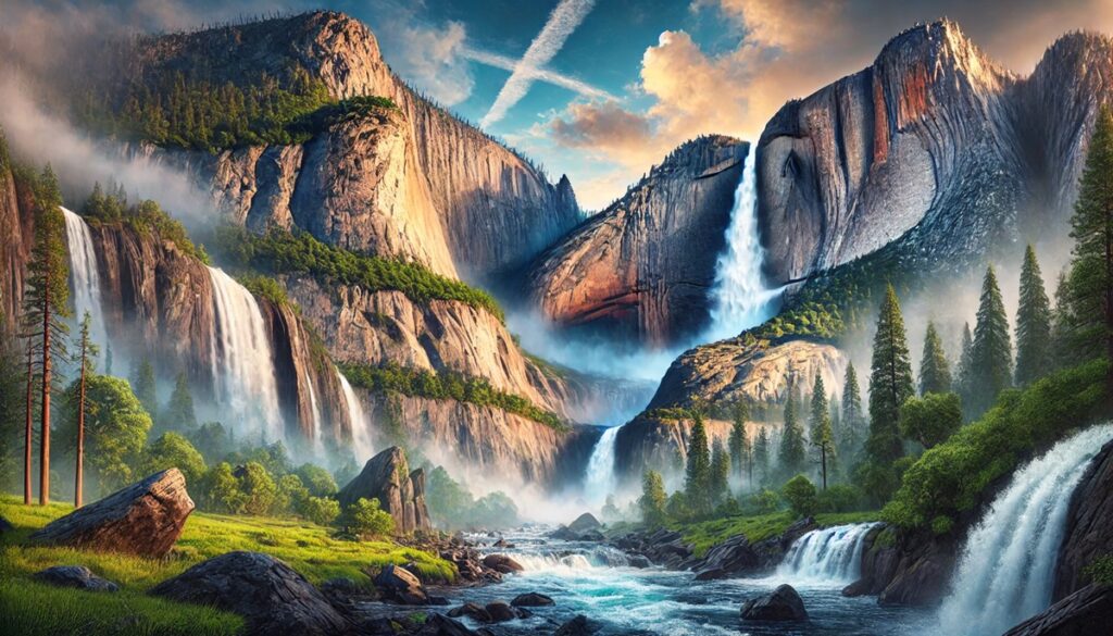
#3: Wakulla Springs – 200-400 Million Gallons Per Day
Wakulla Springs, also located in Florida, is one of the deepest and largest freshwater springs in the world, discharging between 200 and 400 million gallons per day. Surrounded by Wakulla Springs State Park, the spring’s dark, tannin-rich waters contrast with its lush vegetation. Archaeological discoveries, including mastodon bones and ancient artifacts, reveal that humans and animals have frequented the spring for thousands of years. Today, visitors enjoy glass-bottom boat tours and swimming in its cool waters.
#4: Rainbow Springs – 490 Million Gallons Per Day
Rainbow Springs in Florida is a natural wonder, discharging 490 million gallons per day into the Rainbow River. The spring’s pristine waters are surrounded by vibrant gardens, a legacy of the 20th-century Rainbow Springs attraction. Known for its rich biodiversity, the area is a hotspot for snorkeling, kayaking, and birdwatching. The spring’s colorful history includes phosphate mining, Native American legends, and its transformation into a state park.
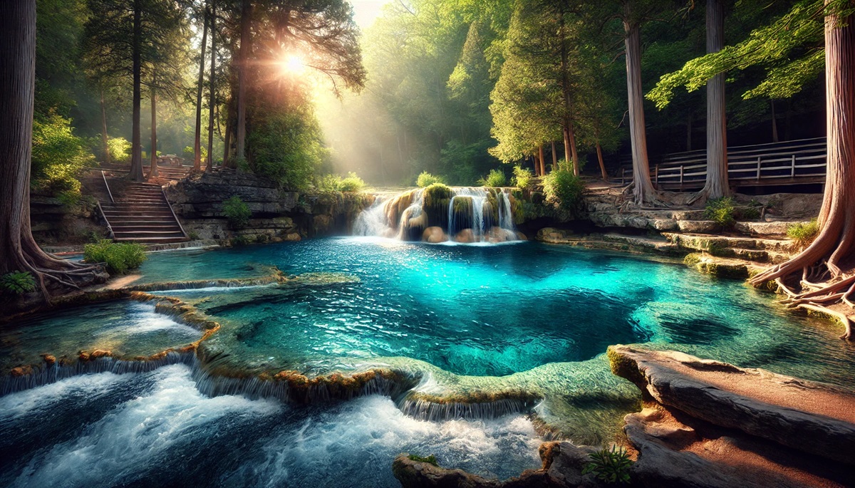
#5: Manatee Springs – 100 Million Gallons Per Day
Manatee Springs in Florida, named for the gentle giants that frequent its waters, discharges an average of 100 million gallons per day into the Suwannee River. This first-magnitude spring is surrounded by cypress swamps, offering a unique blend of tranquility and wilderness. Visitors can often spot manatees during the winter months, adding to the spring’s appeal. Historical accounts reveal its use by indigenous people and as a freshwater source for early settlers.
#6: Ichetucknee Springs – 200 Million Gallons Per Day
The Ichetucknee Springs system in Florida includes several springs that together discharge around 200 million gallons per day into the Ichetucknee River. Known for its crystal-clear waters and scenic tubing opportunities, the springs are a favorite destination for outdoor enthusiasts. The area’s history includes its use as a ceremonial site by Native American tribes and as farmland during the colonial period. Today, it’s a preserved state park.
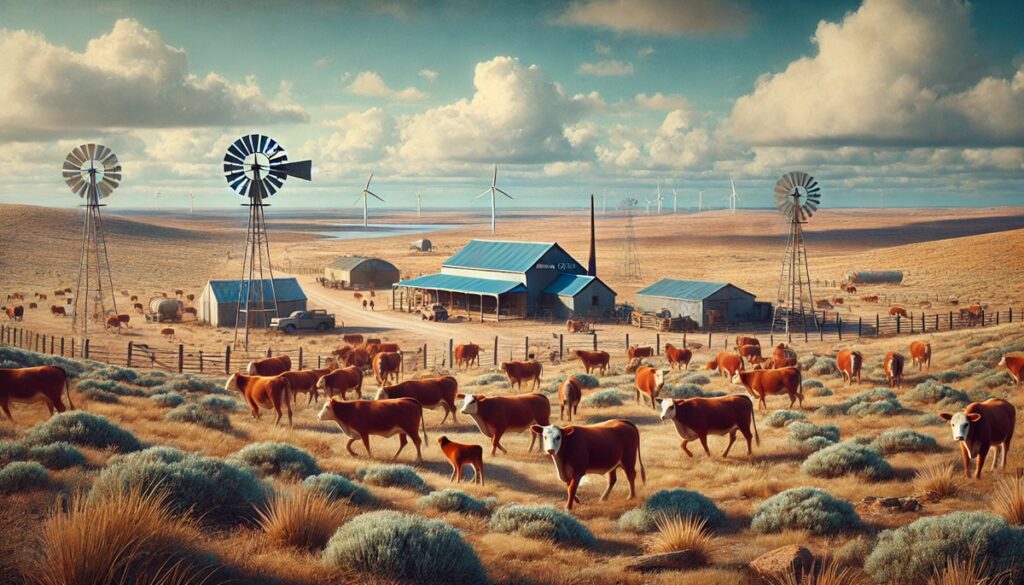
#7: Mammoth Spring – 9 Million Gallons Per Hour
Mammoth Spring in Arkansas is one of the largest springs in the Ozarks, discharging approximately 9 million gallons of water per hour into the Spring River. The spring’s vibrant blue-green waters are the heart of Mammoth Spring State Park, which features historic structures like an old mill and dam. The spring has supported agriculture, industry, and recreation for over a century.
#8: Weeki Wachee Springs – 117 Million Gallons Per Day
Weeki Wachee Springs in Florida is as famous for its mermaid shows as for its natural beauty. The spring discharges 117 million gallons per day into the Weeki Wachee River, a popular spot for kayaking and paddleboarding. The spring’s underwater theater, built in the mid-20th century, adds a whimsical touch to its history.
#9: Warm Mineral Springs – 20 Million Gallons Per Day
Warm Mineral Springs in Florida is the only warm-water mineral spring in the state, discharging 20 million gallons per day. Its mineral-rich waters have drawn visitors for centuries, from Native American tribes to European settlers. Archaeological findings suggest the spring was used by humans as far back as 10,000 years ago.
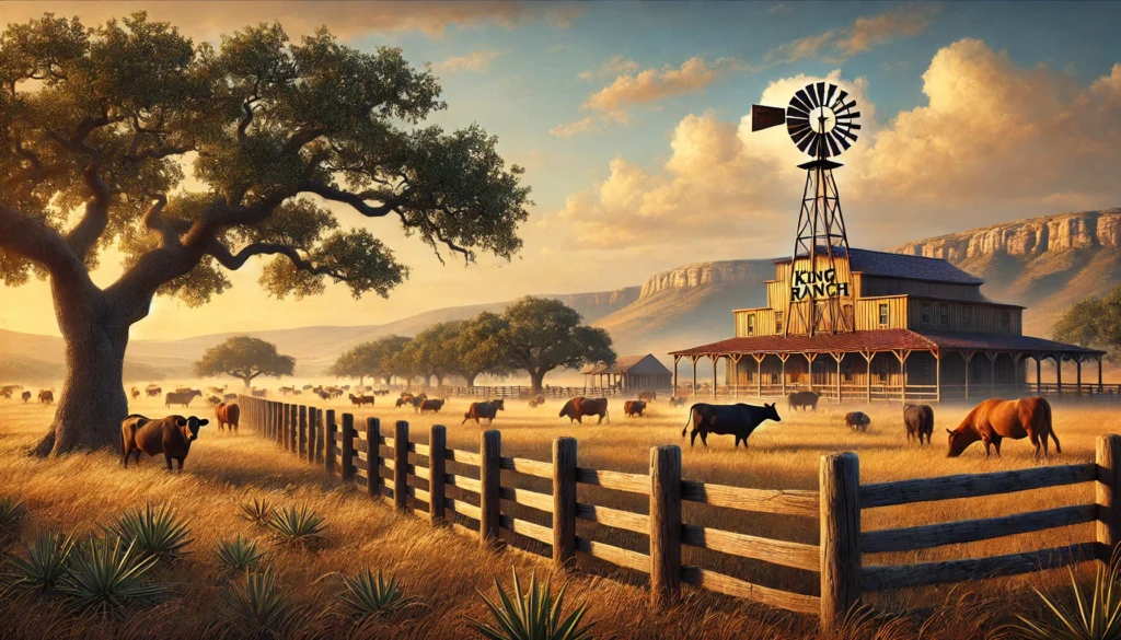
#10: Comal Springs – 8 Million Gallons Per Hour
Comal Springs in Texas is the largest group of artesian springs in the state, discharging an average of 8 million gallons per hour into the Comal River. The springs have long been a hub of activity, from Native American campsites to German settlements. Today, they are a centerpiece of Landa Park, offering recreational activities like swimming and tubing.
The largest springs in the United States are not just natural marvels but also vital lifelines that support ecosystems, communities, and economies. From the crystal-clear waters of Silver Springs to the culturally rich Wakulla Springs, these wonders inspire awe and connect us to the geological forces that shape our planet. Protecting these springs ensures their beauty and significance endure for generations to come.