Dams are monumental structures that showcase humanity’s ability to harness the power of nature for energy, irrigation, flood control, and water storage. The largest dams in the United States are engineering marvels, representing decades of innovation, labor, and determination. These colossal structures have transformed landscapes and waterways, creating reservoirs that sustain millions of lives. From towering concrete barriers to sprawling earthen embankments, each dam has its own unique story, steeped in history, ingenuity, and natural beauty. Here are the top 10 largest dams in the United States, ranked by size, diving into their construction, significance, and enduring legacy.
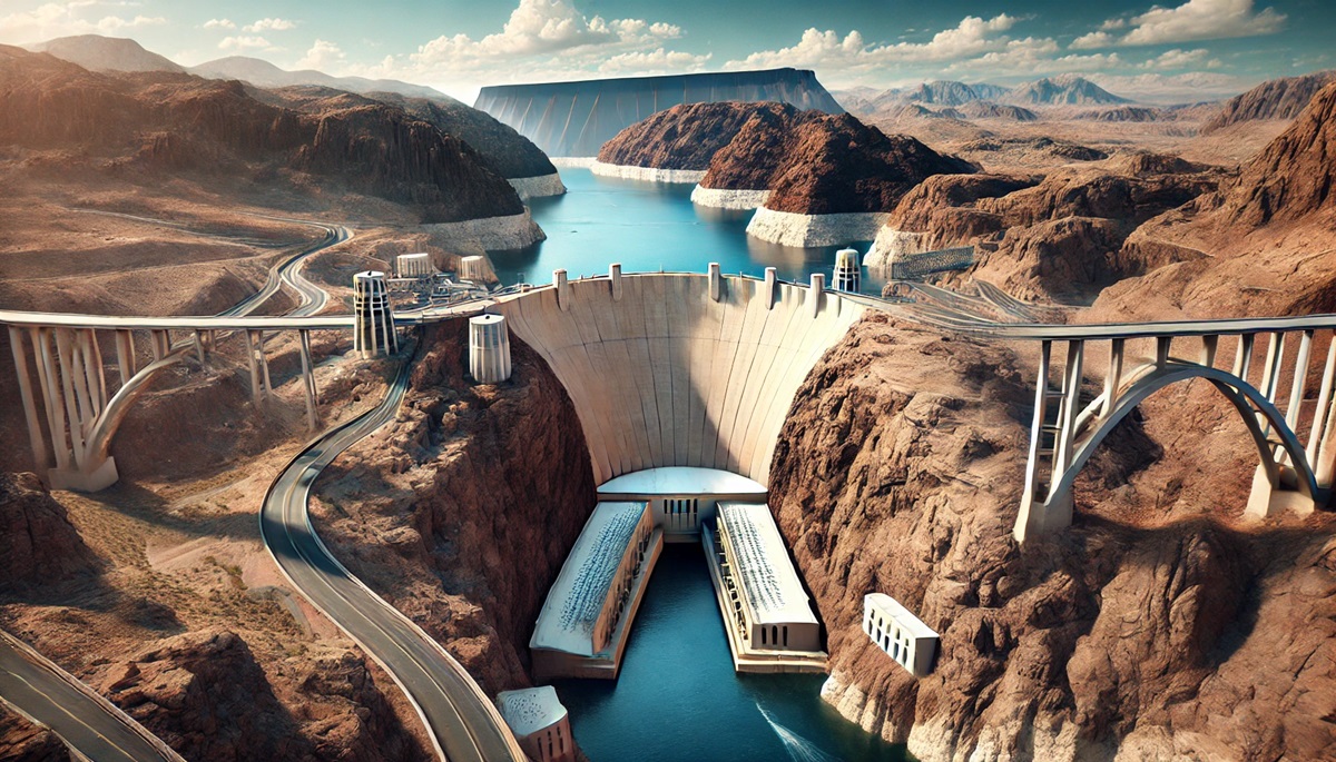
#1: Hoover Dam – 726 Feet Tall
The Hoover Dam, located on the Colorado River between Arizona and Nevada, is an iconic symbol of American engineering. Standing 726 feet tall, it was the tallest dam in the world when completed in 1936. Built during the Great Depression, the dam provided jobs to thousands of workers and became a beacon of hope for the nation. Hoover Dam created Lake Mead, the largest reservoir in the United States, which supplies water and hydroelectric power to millions. Anecdotes of workers enduring extreme heat and dangerous conditions highlight the human effort behind this monumental structure. Today, Hoover Dam remains a popular tourist attraction and a confirmation to ingenuity and resilience.
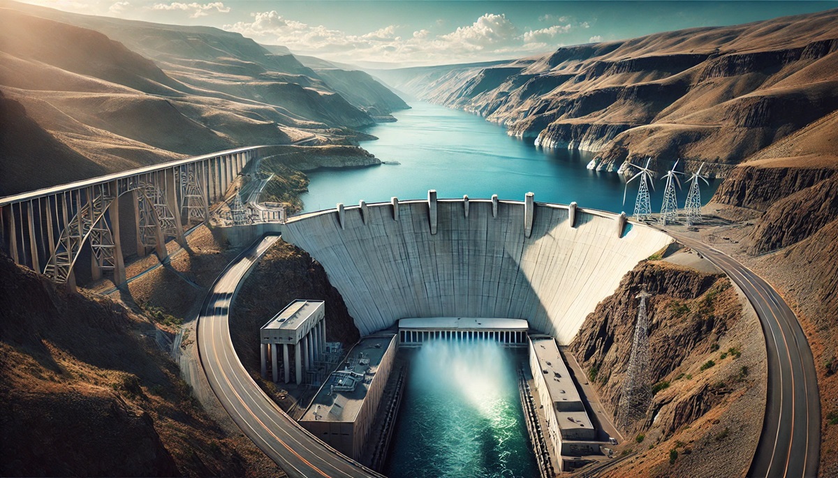
#2: Grand Coulee Dam – 550 Feet Tall
Situated on the Columbia River in Washington, the Grand Coulee Dam is the largest hydropower producer in the United States. Completed in 1942, this concrete gravity dam is 550 feet tall and spans nearly a mile across. It created Lake Roosevelt, a massive reservoir named after President Franklin D. Roosevelt, who championed the project. The dam played a critical role in providing electricity for wartime industries during World War II. Today, it powers homes, farms, and industries across the Pacific Northwest.
#3: Oroville Dam – 770 Feet Tall
The Oroville Dam in California holds the title of the tallest dam in the United States at 770 feet. Located on the Feather River, this earthfill dam was completed in 1968 and created Lake Oroville, a key component of California’s State Water Project. The dam’s primary purpose is water storage and flood control, but it also generates hydroelectric power. In 2017, the dam’s spillway failure caused the evacuation of nearly 200,000 people, highlighting the importance of maintenance and safety in large-scale infrastructure.
#4: Glen Canyon Dam – 710 Feet Tall
Located on the Colorado River in Arizona, the Glen Canyon Dam stands 710 feet tall and created Lake Powell, one of the largest reservoirs in the United States. Completed in 1966, this concrete arch-gravity dam provides hydroelectric power and water storage for the arid Southwest. The dam has been the subject of environmental debates due to its impact on the surrounding ecosystem. Its striking red rock setting makes it a visually stunning landmark.
#5: New Bullards Bar Dam – 645 Feet Tall
The New Bullards Bar Dam in California is a 645-foot-tall concrete arch dam on the Yuba River. Completed in 1969, it serves as a critical water storage facility and hydroelectric power source. The dam’s reservoir, Bullards Bar Reservoir, is a popular destination for boating, fishing, and recreation. Its innovative design maximizes strength and efficiency, making it one of the most remarkable dams in the state.
#6: Shasta Dam – 602 Feet Tall
Shasta Dam, located on the Sacramento River in California, stands 602 feet tall and was completed in 1945. It created Shasta Lake, the largest reservoir in California. The dam provides hydroelectric power, irrigation water, and flood control, playing a vital role in the state’s water management system. Its construction during World War II highlighted the resilience of workers and the importance of infrastructure during challenging times.
#7: Chief Joseph Dam – 236 Feet Tall
The Chief Joseph Dam in Washington is one of the largest dams in terms of power generation. While its height of 236 feet may not rank it among the tallest, its 8,500-foot length and hydroelectric capacity make it one of the most significant. Completed in 1955, the dam provides clean energy and supports irrigation for thousands of acres of farmland.
#8: Flaming Gorge Dam – 502 Feet Tall
Located on the Green River in Utah, the Flaming Gorge Dam is a 502-foot-tall concrete arch dam completed in 1964. It created Flaming Gorge Reservoir, a popular recreation area known for fishing, boating, and stunning scenery. The dam provides hydroelectric power and helps manage water flow in the Colorado River Basin.
#9: Dworshak Dam – 717 Feet Tall
The Dworshak Dam in Idaho is a 717-foot-tall concrete gravity dam on the North Fork Clearwater River. Completed in 1973, it is the tallest straight-axis gravity dam in the Western Hemisphere. The dam’s reservoir is a key water source for irrigation and recreation. Its construction played a pivotal role in the region’s development, providing jobs and infrastructure.
#10: Fort Peck Dam – 250 Feet Tall
Located on the Missouri River in Montana, the Fort Peck Dam is an earthfill dam that stands 250 feet tall and spans nearly four miles. Completed in 1940, it created Fort Peck Lake, one of the largest man-made reservoirs in the United States. The dam was a New Deal project during the Great Depression, providing much-needed jobs.
The largest dams in the United States are more than engineering feats; they are symbols of progress, resilience, and innovation. These massive structures provide essential resources and shape the landscapes around them, serving as landmarks of human ingenuity. Each dam has a unique story, reflecting the challenges and triumphs of its time, and continues to play a critical role in the nation’s infrastructure and development.