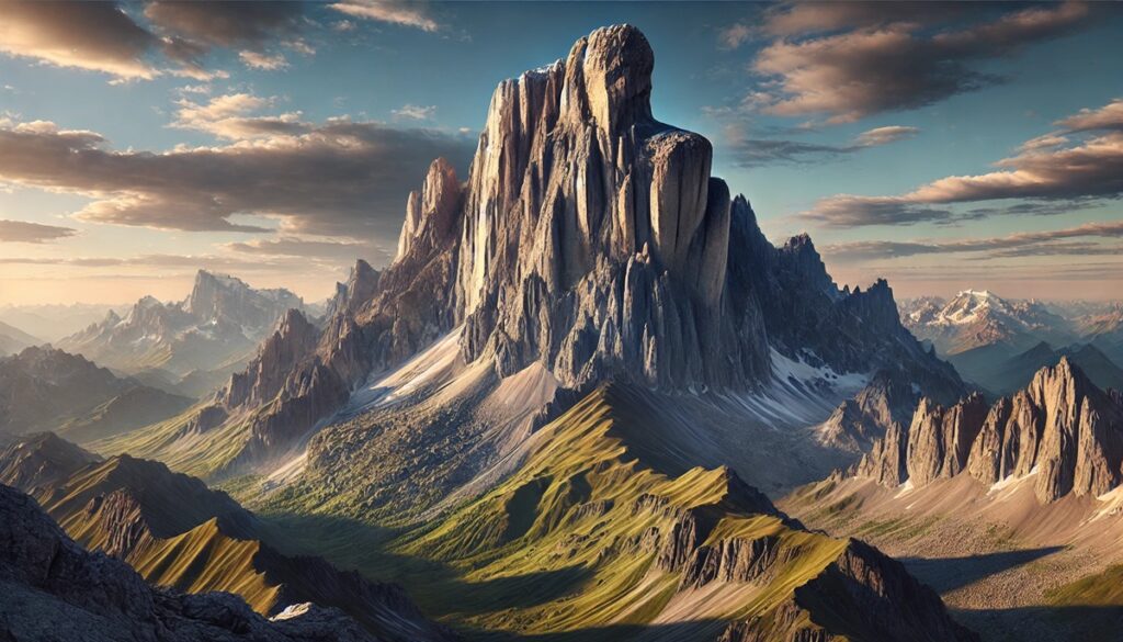
Mines and maps share a timeless relationship, one etched in adventure, ambition, and the whispers of untold riches hidden beneath the earth. A map, with its intricate lines and cryptic symbols, is more than just paper its a portal to the unknown, guiding miners through dark tunnels and uncharted lands in search of shimmering treasures. Each fold of a map holds the promise of discovery, where X marks the spot of fortunes buried deep within mountains, deserts, or riverbeds. Maps have led explorers across barren landscapes, their edges worn and smudged from fingers stained with dirt and sweat. They tell stories of hope, risk, and triumph, charting not just land but human desire to unearth beauty forged by time and nature. Below the earths crust, mines come alive, echoing with the clang of tools and footsteps of miners driven by the dreams sketched upon their maps. Whether its gold, diamonds, or coal, every mark on a map symbolizes a calculated gamble, a promise to decode Earths mysteries layer by layer. In this intertwined dance of man and land, mines and maps become legends the vessel of ambition, the other the guide to hidden wonders. Together, they transform what was once invisible into stories worth telling for generations to come.

The United States, while not widely recognized as a global diamond powerhouse, has its share of fascinating diamond deposits. These mines offer rich histories, unique geological formations, and in many cases, the chance for everyday visitors to unearth diamonds themselves. From Arkansas to Colorado, the U.S. landscape hides diamond deposits that have sparked prospectors’ imaginations and built countless legends. Though not all of these mines are massive commercial producers, they remain significant in size, historical value, and cultural lore. Here, we look at the top ten largest diamond mines in the United States.
#1: Crater of Diamonds State Park (37.5 Acres)
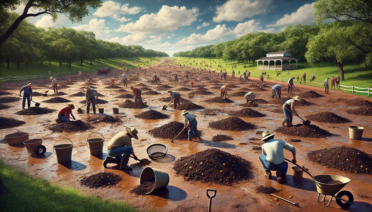
Crater of Diamonds State Park in Murfreesboro, Arkansas, is the largest diamond mine in the United States and the only diamond-producing site in the world open to the public. Spanning 37.5 acres, this site is an eroded volcanic crater where visitors can search for diamonds in the dirt and keep what they find. The park was established in 1972, but diamonds have been unearthed here for over a century. Since its discovery, the site has yielded over 75,000 diamonds, including some legendary finds. The most famous of these is the 40.23-carat Uncle Sam Diamond, discovered in 1924, still the largest diamond ever found in the United States. The park sees visitors of all ages, often making headlines when lucky tourists uncover substantial gems. A nine-year-old boy famously found a 7.44-carat diamond in 2017 while on vacation. Its appeal lies in its accessibility—anyone with perseverance, luck, and a little patience can find a precious stone. Beyond diamonds, visitors uncover other gemstones like amethyst and garnet. The Crater of Diamonds remains a quirky yet significant witness to the adventurous spirit of American prospecting.
#2: Kelsey Lake Diamond Mine (12 Acres)
The Kelsey Lake Diamond Mine, located on the border of Colorado and Wyoming, is one of the few commercially successful diamond mines in the U.S. Though spanning just 12 acres, it remains notable for producing gem-quality diamonds. Operated from the mid-1990s to early 2000s, the mine became famous for its unusually large stones, including a 28.2-carat gem known as the Colorado Diamond. Kelsey Lake’s geology features kimberlite pipes, volcanic formations that often host diamonds. During its peak, the mine attracted considerable attention due to its potential to rival international diamond sources. Despite its promise, financial and legal difficulties led to its closure, leaving behind a legacy of potential untapped wealth. Stories circulate of local ranchers stumbling upon shiny stones while walking their land, not realizing they held diamonds. While the site is no longer active, Kelsey Lake continues to capture the imagination of geologists and diamond enthusiasts alike, who dream of the treasures hidden beneath its quiet soil.
#3: Prairie Creek Pipe (8 Acres)
Located near Murfreesboro, Arkansas, the Prairie Creek Pipe spans 8 acres and is part of the same volcanic formation that houses the Crater of Diamonds. This site, while less visited and less known than its famous counterpart, has contributed significantly to diamond exploration in the region. The Prairie Creek Pipe was studied extensively in the mid-20th century by geologists eager to uncover the potential of Arkansas’ diamond fields. Though commercial mining never took hold here, its geological composition indicates a strong presence of diamonds. Local legends speak of early settlers who found sparkling stones in riverbeds, mistaking them for quartz. Even today, occasional amateur prospectors and treasure hunters visit the area, hoping to strike it rich. Prairie Creek stands as a symbol of Arkansas’ unique geological heritage and the enduring allure of American diamond deposits.
#4: Sloan Ranch Diamond Mine (6 Acres)
The Sloan Ranch Diamond Mine, situated in Colorado’s Larimer County, covers approximately 6 acres and represents another important site for U.S. diamond production. This mine, like Kelsey Lake, sits atop a kimberlite field and has yielded several impressive diamonds over the years. Geologists first identified the diamond potential here in the early 20th century, but it wasn’t until the late 1900s that systematic exploration began. The Sloan Ranch mine never reached full-scale production but remains noteworthy for its contribution to diamond research. Anecdotes from locals describe ranchers discovering unusual stones while working the land, sparking dreams of diamond fortunes. Geologists have often remarked on the mine’s similarity to major diamond-producing regions in Africa, hinting at the untapped promise of this Colorado gem field. While commercial efforts have ceased, Sloan Ranch remains a key player in the history of American diamond exploration.
#5: Twin Knobs Mine (4 Acres)
The Twin Knobs Mine, covering 4 acres in Arkansas, is another noteworthy site that highlights the state’s rich diamond history. Twin Knobs was discovered in the early 1900s during a diamond rush that followed the Crater of Diamonds discovery. Though its production never matched the Crater of Diamonds, Twin Knobs produced several notable stones, including a 10-carat white diamond unearthed by an amateur prospector. The mine’s geology mirrors that of its neighboring volcanic formations, offering tantalizing hints of larger deposits hidden below the surface. Local folklore often describes miners and explorers camping near the site, sharing stories of fortunes made and lost in pursuit of glittering stones. Today, Twin Knobs is largely dormant but remains a historical reminder of Arkansas’ reputation as the “Diamond State.”
#6: Prairie Pipe #2 (3.5 Acres)
Located just outside the main Prairie Creek area, Prairie Pipe #2 is another intriguing diamond-bearing site in Arkansas. Spanning approximately 3.5 acres, it shares the same geological formations as the Crater of Diamonds and Prairie Creek Pipe. Though less explored, the site has yielded small diamonds and remains of great interest to geologists. In the early 20th century, prospectors flocked to the area with dreams of diamond riches. While large-scale mining never materialized, the tales of diamonds found during brief exploration phases continue to circulate. Today, Prairie Pipe #2 remains mostly undisturbed, offering future potential for scientific and commercial interest.
#7: George Creek Diamond Mine (3 Acres)
George Creek Diamond Mine in Colorado spans roughly 3 acres and is part of the state’s kimberlite-rich geological regions. First identified in the mid-1900s, the site saw sporadic exploration but never reached full-scale production. Small diamonds have been recovered here, primarily through geological surveys and limited mining efforts. The mine is often referenced in academic research about Colorado’s diamond potential. Anecdotal stories tell of early settlers finding unusual stones while exploring the hills, unaware of their diamond value. Today, George Creek serves as a reminder of Colorado’s underappreciated diamond resources.
#8: Brown Mountain Mine (2.5 Acres)
Brown Mountain Mine, located in Arkansas, covers 2.5 acres and contributes to the state’s diamond legacy. Discovered during the early 1900s diamond rush, this site produced modest quantities of diamonds and other gemstones. While overshadowed by larger operations like the Crater of Diamonds, Brown Mountain played a role in Arkansas’ diamond history. Stories persist of prospectors camping at the site, hoping for a lucky strike. Though now inactive, Brown Mountain’s geological formations hint at untapped potential.
#9: Eagle Butte Diamond Mine (2 Acres)
Eagle Butte Diamond Mine, located in Wyoming, spans 2 acres and sits atop a small but significant kimberlite field. While diamonds have been confirmed in the area, commercial operations never took hold due to funding challenges. The site is primarily of interest to geologists and diamond enthusiasts who see its potential as part of Wyoming’s broader diamond-bearing region. Anecdotal stories tell of explorers uncovering small diamonds during geological surveys, offering a tantalizing glimpse of what lies below.
#10: Black Lick Diamond Deposit (1.5 Acres)
The Black Lick Diamond Deposit in Pennsylvania, covering 1.5 acres, is one of the more unusual entries on this list. Historically, diamonds were reportedly found here in small quantities during the late 1800s. The site’s origin remains debated, with some experts believing the diamonds were transported via glacial activity. While commercial mining never took place, local legends persist of farmers and explorers finding sparkling stones in streams. The Black Lick Deposit remains a geological curiosity and an intriguing piece of U.S. diamond lore.
The diamond mines of the United States may not rival the output of African or Russian counterparts, but they hold a unique place in mining history. From the family-friendly Crater of Diamonds to the untapped kimberlite fields of Colorado, these mines offer stories of discovery, ambition, and sheer luck. They speak to the adventurous spirit of prospectors who dared to believe in the treasures hidden beneath American soil. While many of these mines are no longer active, their legacies endure, inspiring future generations of explorers and gem enthusiasts. In a world where diamonds are symbols of rarity and beauty, the U.S.’s diamond mines remind us that sometimes, the greatest treasures are found close to home.