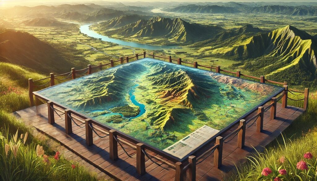
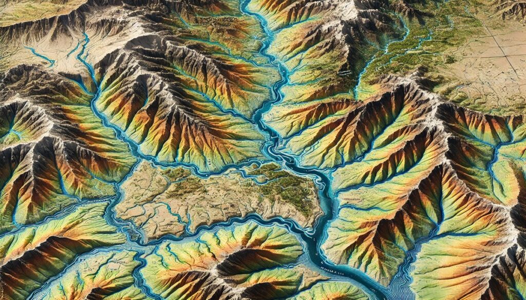
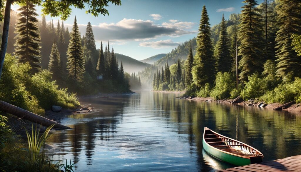
Drainage basins and maps share an intrinsic connection, revealing not only the flow of water across the land but also the stories of the ecosystems and communities that depend on them. A map of a drainage basin is like a living document, a vivid portrayal of the natural world as it funnels water into rivers, lakes, and oceans. These maps are vital tools for understanding how water moves through a landscape, from its highest point in the mountains to the lowlands where it converges into larger bodies of water. The intricate network of streams, tributaries, and wetlands, all mapped out in detailed topography, serves as a reminder of how interconnected nature is, how every drop of rain that falls is part of a much larger cycle. For scientists and environmentalists, these maps become more than just geographic tools; they are the keys to unlocking the mysteries of water systems, hydrology, and climate patterns. They highlight areas of flood risk, drought, or overuse, showing how human actions impact the delicate balance of nature. A drainage basin map captures the journey of water in a way that reveals much more than just physical geography—it offers insight into the health of ecosystems, the wellbeing of communities that rely on the water, and even the cultural and economic connections that tie these waterways to the people who live nearby. Just as the water shapes the land, these maps capture the story of that relationship, with each curve of the river or branch of the tributary marking a moment in time when human and natural forces come together. They are not just maps; they are records of how the world works, how water flows and nourishes, and how we are all part of that flow.

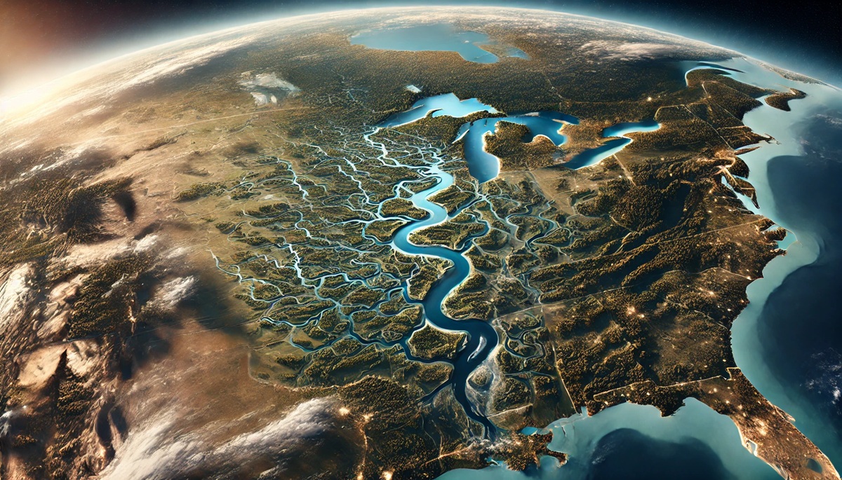
Drainage basins are vast areas where precipitation collects and drains into a single body of water, such as a river, lake, or ocean. These basins are essential to the ecology and economy of North America, serving as the lifeblood for agriculture, industry, wildlife, and millions of people. From the snow-covered mountains in the north to the arid desert landscapes in the southwest, these top 10 drainage basins play critical roles in maintaining the environmental health and water resources of the continent. Below, we explore the largest and most influential drainage basins in North America, highlighting their importance, geographic spread, and challenges they face.
#1: The Mississippi River Basin – 1,245,000 square miles
The Mississippi River Basin, covering a massive 1,245,000 square miles, is the largest drainage basin in North America. Spanning across 31 U.S. states and parts of Canada, the Mississippi River Basin is home to one of the most important river systems in the world. The basin includes the iconic Mississippi River, which flows from the northern part of the country down to the Gulf of Mexico, draining into the ocean. This river system plays a vital role in the agricultural economy, providing irrigation for millions of acres of farmland, including the production of major crops like corn, soybeans, and wheat. The basin’s diverse ecosystems are home to a wide range of wildlife, including migratory birds, fish, and mammals. However, the basin faces significant challenges from pollution, habitat loss, and invasive species. Managing water quality and ensuring the sustainability of its resources are critical to preserving the ecological and economic vitality of the region.
#2: The Mackenzie River Basin – 695,000 square miles
The Mackenzie River Basin, located in northern Canada, is the second-largest drainage basin in North America, covering 695,000 square miles. The Mackenzie River itself is the longest river in Canada, flowing from the Great Slave Lake to the Arctic Ocean. This remote and pristine basin is known for its harsh climate, frozen winters, and relatively low human population. The basin is crucial for northern wildlife, including migratory birds, caribou, and numerous fish species, which depend on its waters for sustenance. The Mackenzie River Basin is also rich in natural resources, including oil, gas, and minerals. However, the region is under increasing pressure due to climate change, which is causing the permafrost to thaw and disrupt the delicate ecosystems that have thrived there for centuries. As the effects of climate change intensify, the future of this remote and vital basin becomes even more uncertain.
#3: The St. Lawrence River Basin – 350,000 square miles
The St. Lawrence River Basin, spanning 350,000 square miles, drains into the Atlantic Ocean and is shared by both the United States and Canada. The river itself flows from the Great Lakes into the Gulf of St. Lawrence, serving as a critical shipping route for goods entering and leaving North America. The St. Lawrence River Basin is home to some of the most populous and economically significant regions in both Canada and the U.S., including Montreal, Quebec City, and New York. The basin supports major industries like shipping, fishing, agriculture, and tourism, making it an economic powerhouse. Its ecosystems are diverse, supporting both freshwater and marine species, including salmon and sturgeon. However, urbanization, pollution, and invasive species have taken a toll on the river’s health, with efforts focused on restoring water quality and protecting its habitats becoming increasingly important.
#4: The Columbia River Basin – 258,000 square miles
The Columbia River Basin, covering 258,000 square miles, is one of the largest and most environmentally significant river basins in the Pacific Northwest. It spans parts of seven U.S. states and one Canadian province and drains into the Pacific Ocean. The Columbia River itself is crucial for power generation, with the Bonneville Dam and other hydropower facilities providing electricity to millions of people in the region. The basin is also a key location for agriculture, producing crops like wheat, barley, and potatoes. The Columbia River is home to a variety of wildlife, most notably salmon, which travel through its waters to spawn in the region’s tributaries. However, the river’s ecosystem has been severely impacted by dams and development, with salmon populations declining significantly. Restoration efforts to improve fish migration and water quality are ongoing to ensure the long-term health of the basin.
#5: The Colorado River Basin – 246,000 square miles
The Colorado River Basin covers 246,000 square miles, stretching across the southwestern U.S. and northern Mexico. The Colorado River provides water to over 40 million people and supports a wide range of agricultural activities, particularly in arid regions like Arizona, California, and Nevada. The river is the lifeblood for many cities, including Phoenix, Las Vegas, and Los Angeles. However, the Colorado River is under significant stress due to prolonged droughts, overuse of its waters, and climate change. The river’s flow has been drastically reduced in recent decades, leading to a depletion of reservoirs like Lake Mead. Additionally, the river is crucial for hydroelectric power production, as several large dams are located along its length. The Colorado River Basin is a focal point for water management discussions in the U.S., as solutions to address water scarcity and ecosystem preservation remain crucial for the region’s future.
#6: The Yukon River Basin – 330,000 square miles
The Yukon River Basin, located in Alaska and Canada, spans 330,000 square miles and drains into the Bering Sea. The Yukon River is vital for the region’s ecosystems and has historically been an important waterway for Indigenous communities and explorers. The basin is home to several important wildlife species, including salmon, moose, and bears, which rely on the river and its tributaries for sustenance. The basin’s remote location and cold climate make it a less-populated area, but it remains vital to the health of the northern ecosystem. The Yukon River Basin also plays a key role in the cultural heritage of the region’s Indigenous peoples, with traditional fishing practices still being maintained today. As the region faces the challenges of climate change, the melting of permafrost and rising temperatures pose significant risks to the basin’s delicate balance.
#7: The Rio Grande River Basin – 335,000 square miles
The Rio Grande River Basin covers 335,000 square miles and is one of the most critical water sources in the southwestern U.S. and northern Mexico. The Rio Grande serves as the border between the U.S. and Mexico for much of its length, making it a political and cultural landmark. The river is vital for agriculture, providing irrigation for crops in Texas and northern Mexico, but the basin is increasingly facing challenges related to water rights, pollution, and overuse. The Rio Grande River is also an important ecological corridor, with riparian ecosystems supporting a variety of plant and animal species. As water demand increases due to population growth and climate change, the future of the Rio Grande and its basin remains uncertain, requiring effective water management and cooperation between the U.S. and Mexico.
#8: The Hudson Bay Basin – 1,230,000 square miles
The Hudson Bay Basin, covering 1,230,000 square miles, is one of the largest drainage basins in North America. It drains into Hudson Bay, a large body of water bordered by the Canadian provinces of Manitoba, Ontario, and Quebec. The basin’s vast northern landscapes are home to critical wildlife populations, including polar bears and seals, as well as a variety of migratory birds. The basin is a significant source of freshwater for the surrounding regions, but it also faces environmental challenges, such as climate change and the impact of industrial development. As the Arctic warms at a faster rate than the rest of the world, the Hudson Bay Basin is experiencing significant ecological shifts that affect both the environment and the Indigenous peoples who rely on its resources.
#9: The Chesapeake Bay Watershed – 64,000 square miles
The Chesapeake Bay Watershed is a vital drainage basin located on the East Coast, covering 64,000 square miles. It drains into the Chesapeake Bay, one of the largest and most productive estuaries in the United States. The watershed spans parts of six states and includes the major cities of Baltimore, Washington, D.C., and Richmond. The Chesapeake Bay Watershed supports diverse ecosystems, including wetlands, forests, and grasslands. The region is known for its fishing industry, particularly blue crabs and oysters, but it faces numerous environmental issues, including pollution, habitat destruction, and invasive species. Efforts to restore the bay’s health, particularly through reducing nutrient pollution, are ongoing and essential for the future of the watershed.
#10: The Sacramento-San Joaquin River Delta Basin – 40,000 square miles
The Sacramento-San Joaquin River Delta Basin, located in California, spans 40,000 square miles and is a crucial part of the state’s water system. It acts as a key hub for water distribution, supplying water to urban areas and agricultural regions throughout California. The delta is home to one of the most biodiverse ecosystems in the state, but it faces numerous challenges due to water diversion, pollution, and the threat of invasive species. As climate change leads to rising sea levels and increased water demand, the Sacramento-San Joaquin River Delta faces ongoing pressure to balance the needs of its ecosystems, agriculture, and urban populations.
These top 10 drainage basins are not only vital to the ecosystems and economies of North America but are also critical to maintaining water security and biodiversity across the continent. Whether providing irrigation for crops, habitat for wildlife, or water for millions of people, these basins represent the lifeblood of many regions. As climate change, urbanization, and pollution continue to challenge the health of these vital watersheds, effective management and conservation efforts will be essential to preserving the environmental balance and the well-being of all who depend on them.