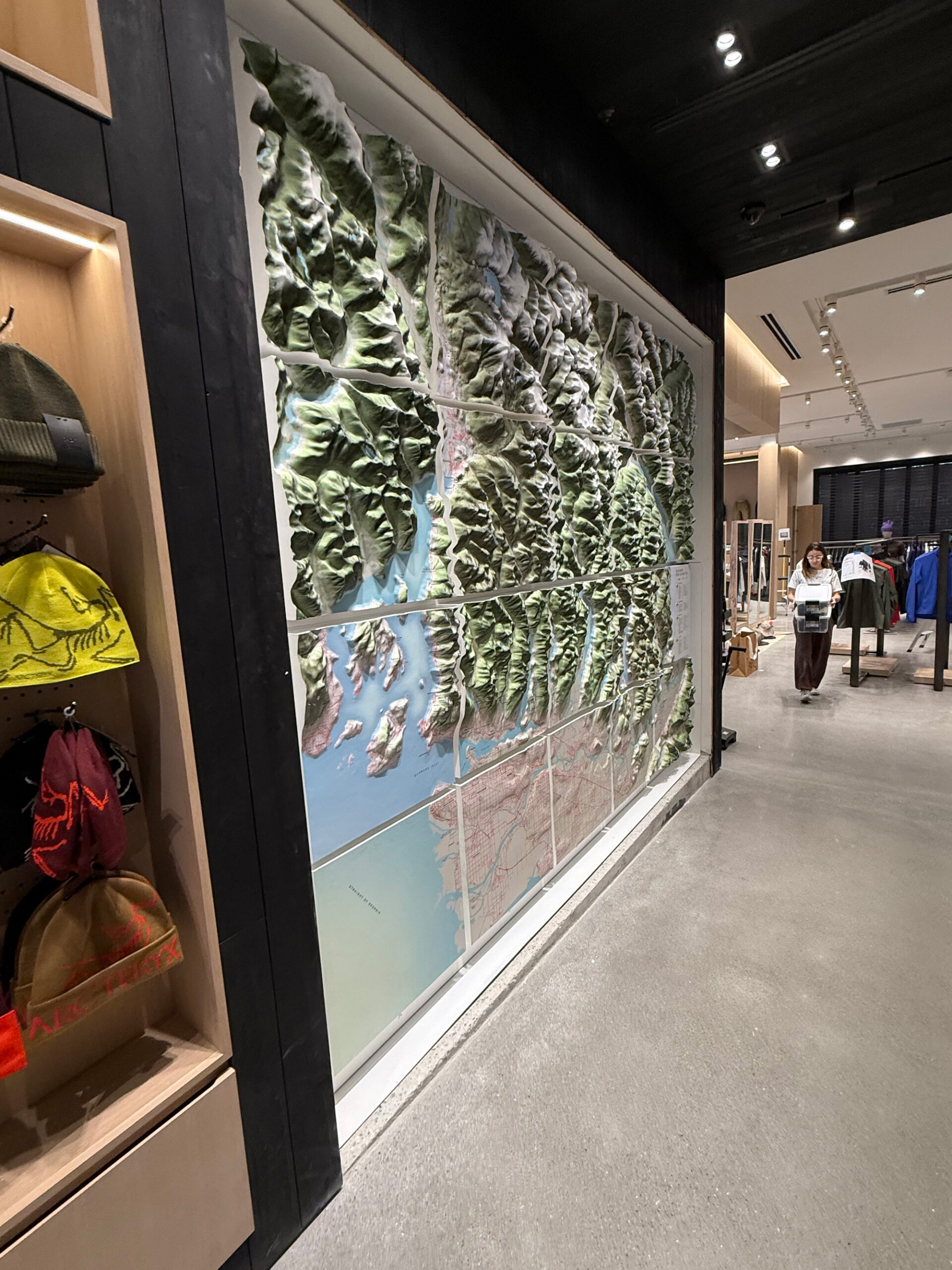
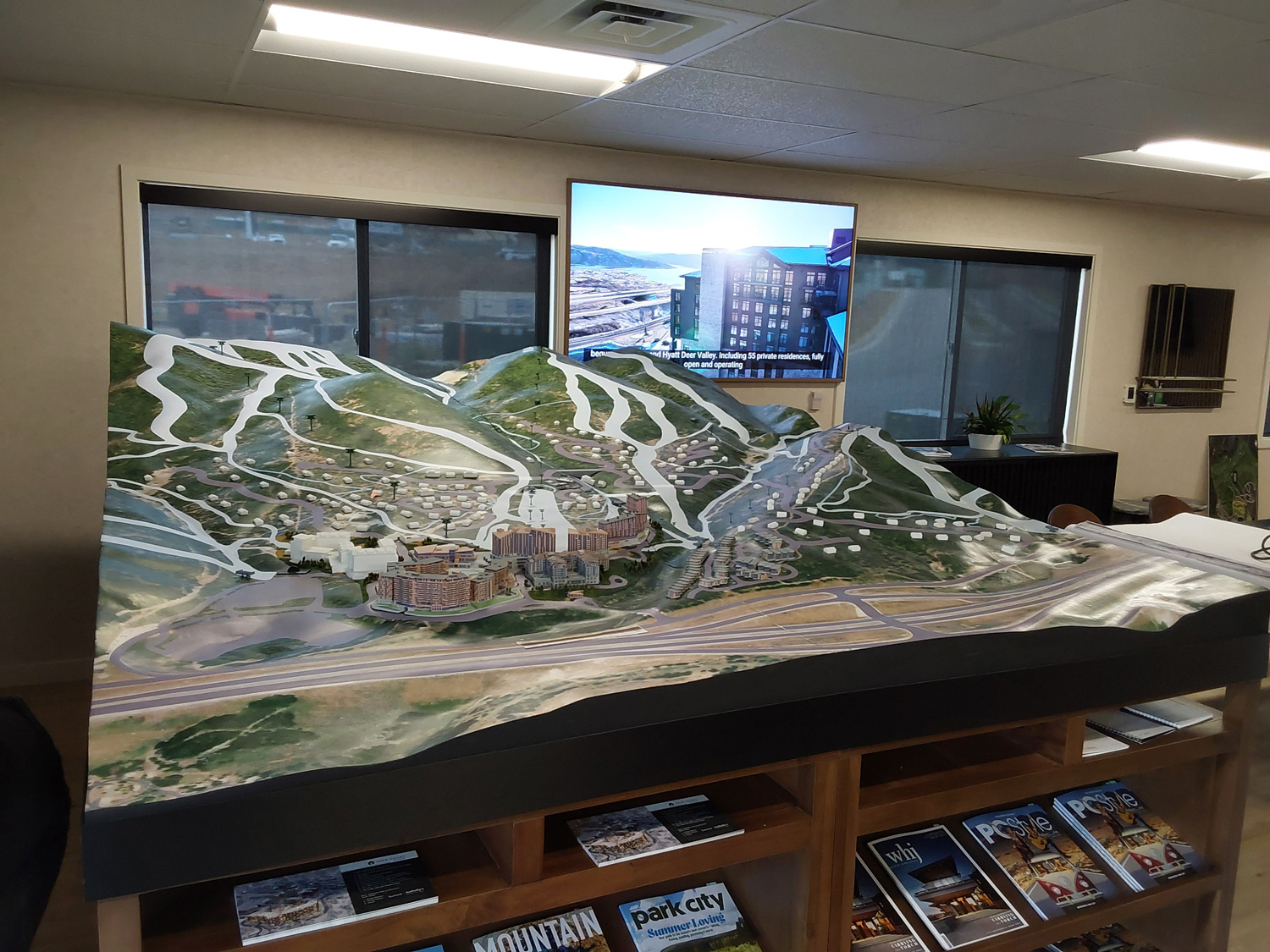
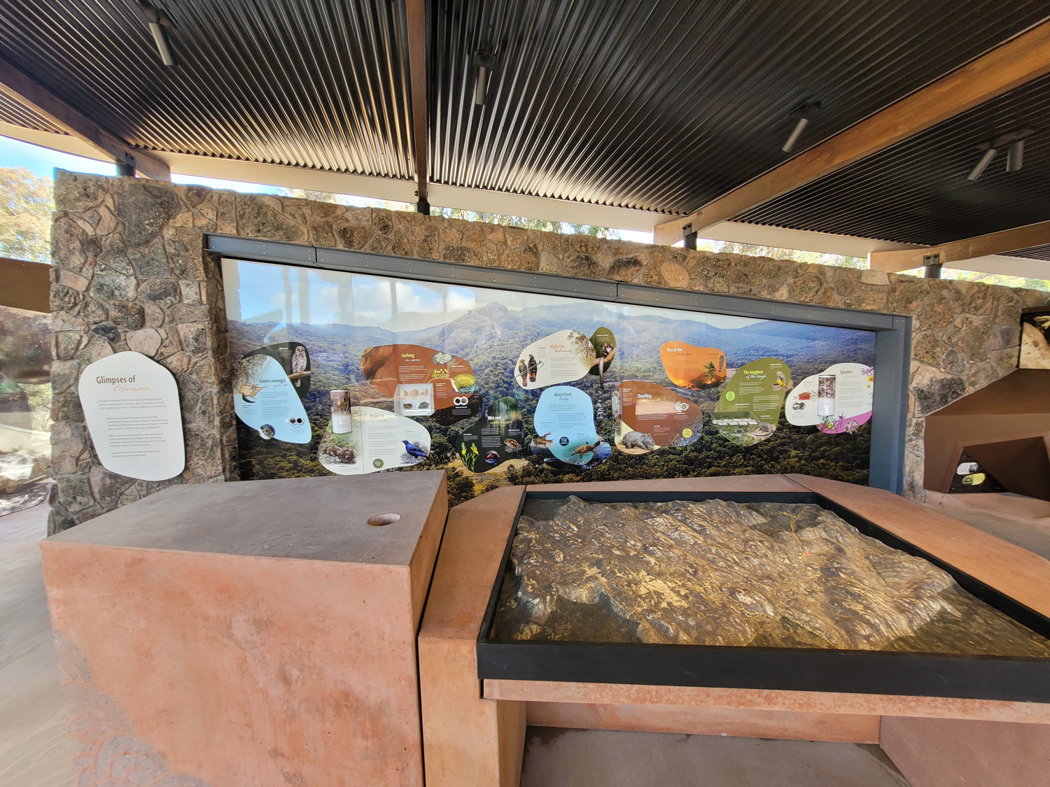
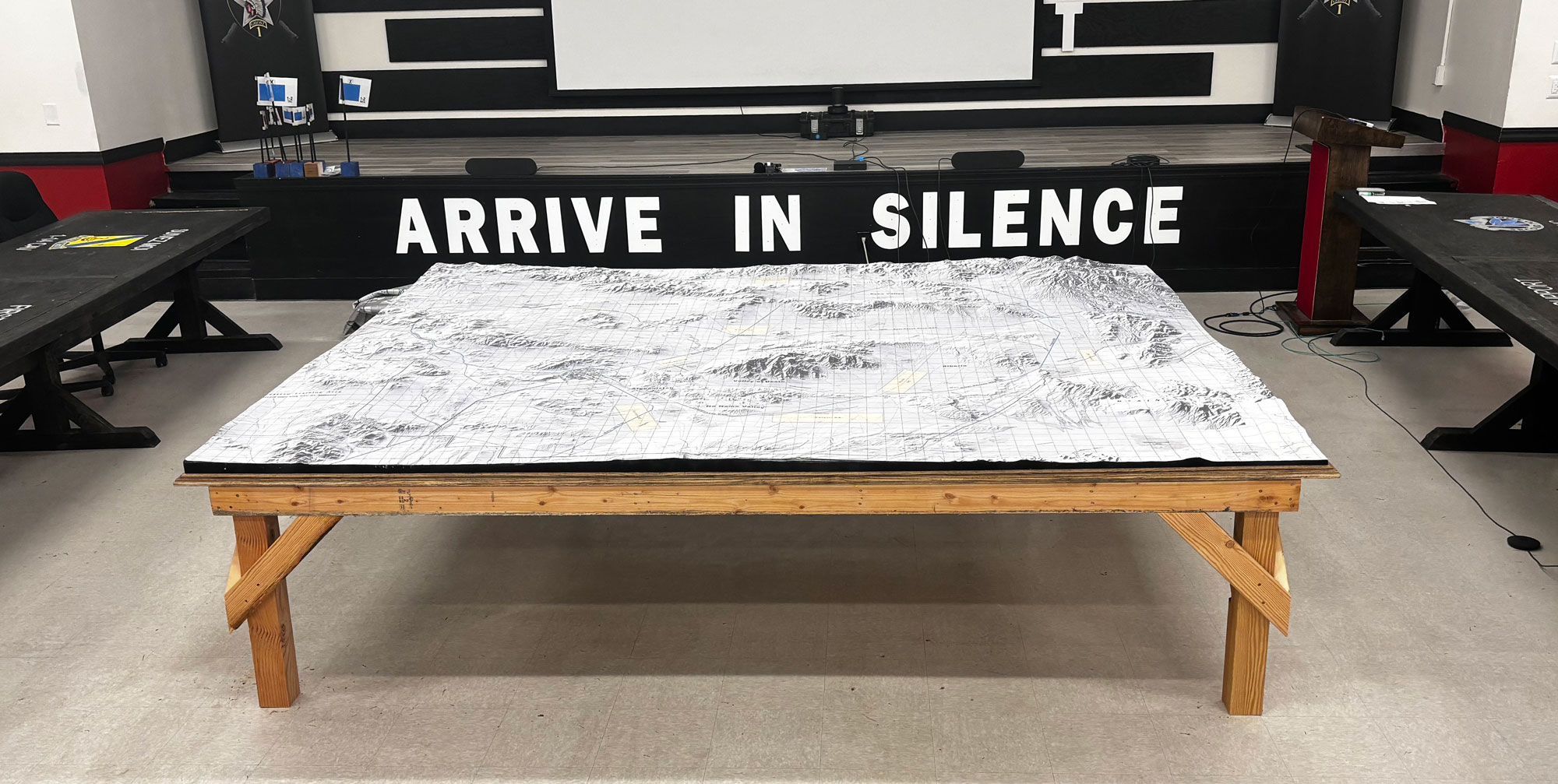
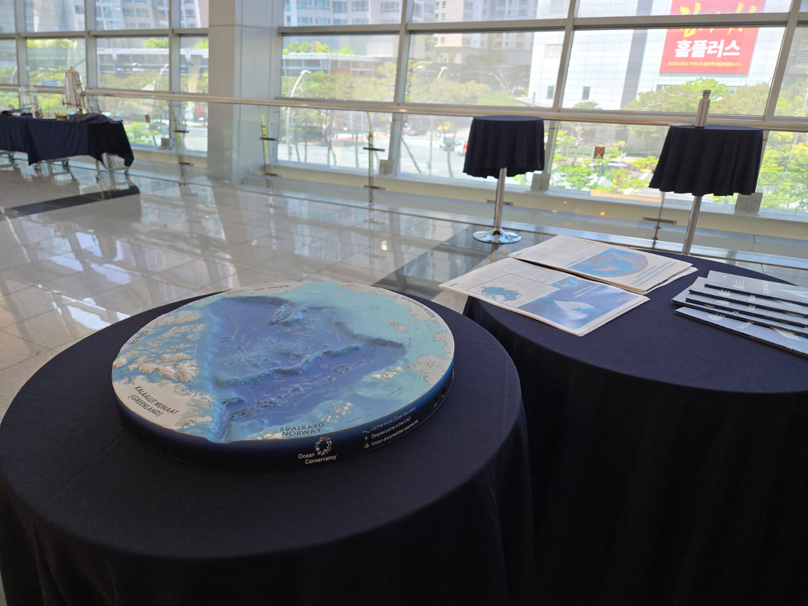
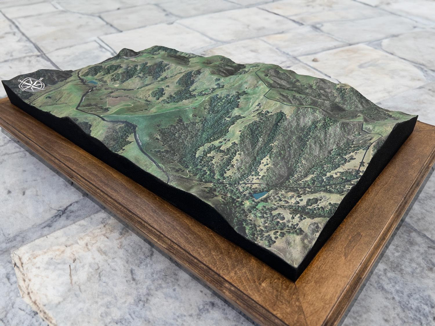
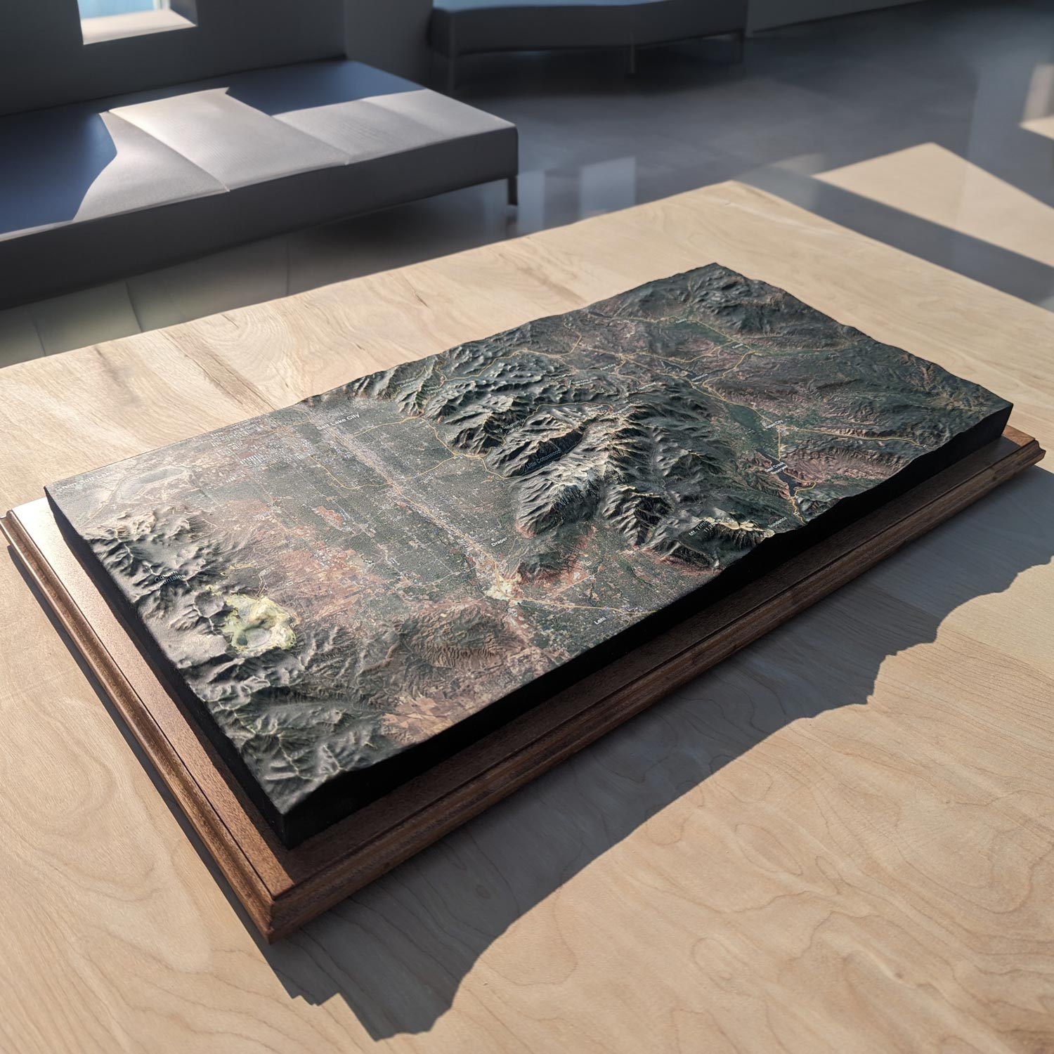
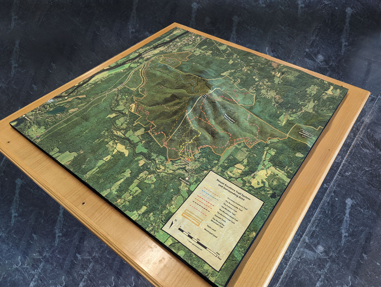
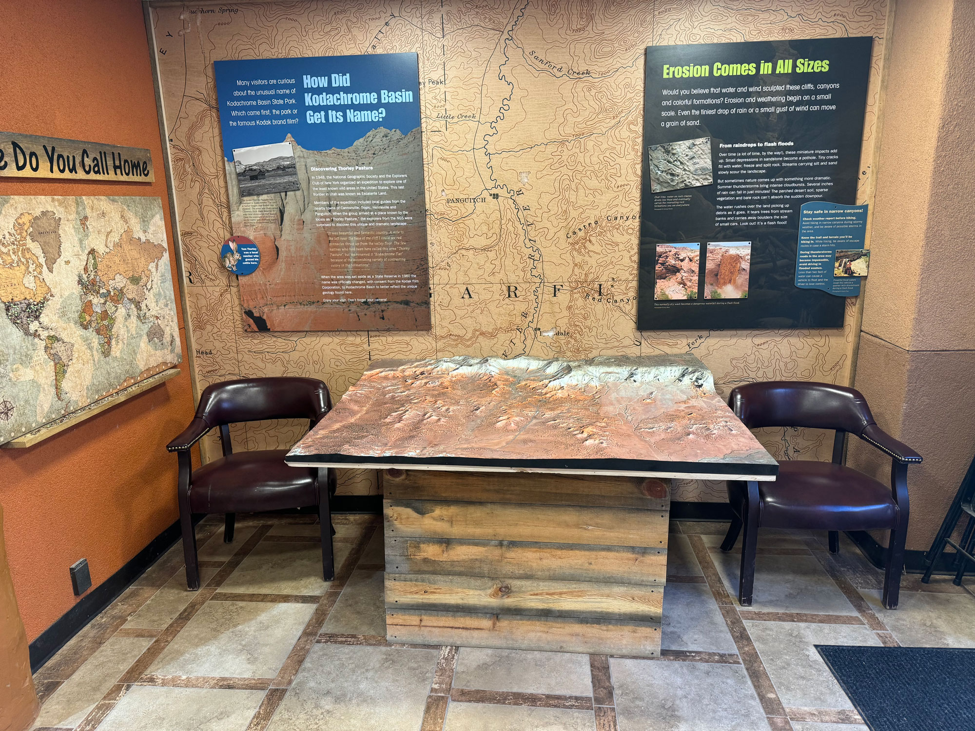
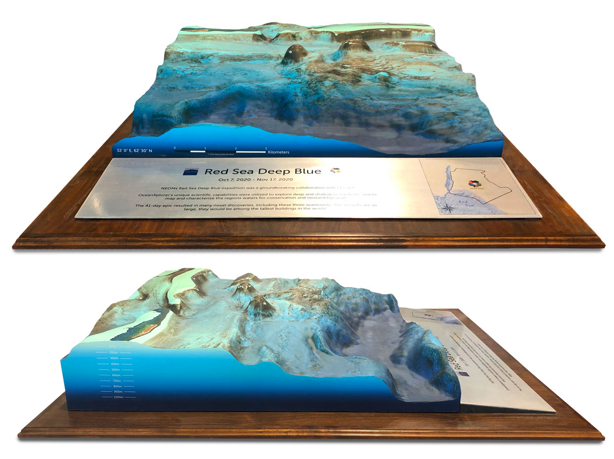
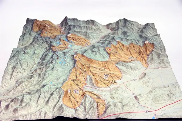
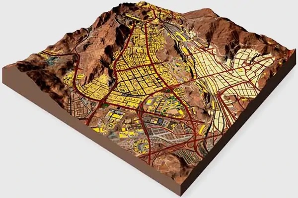
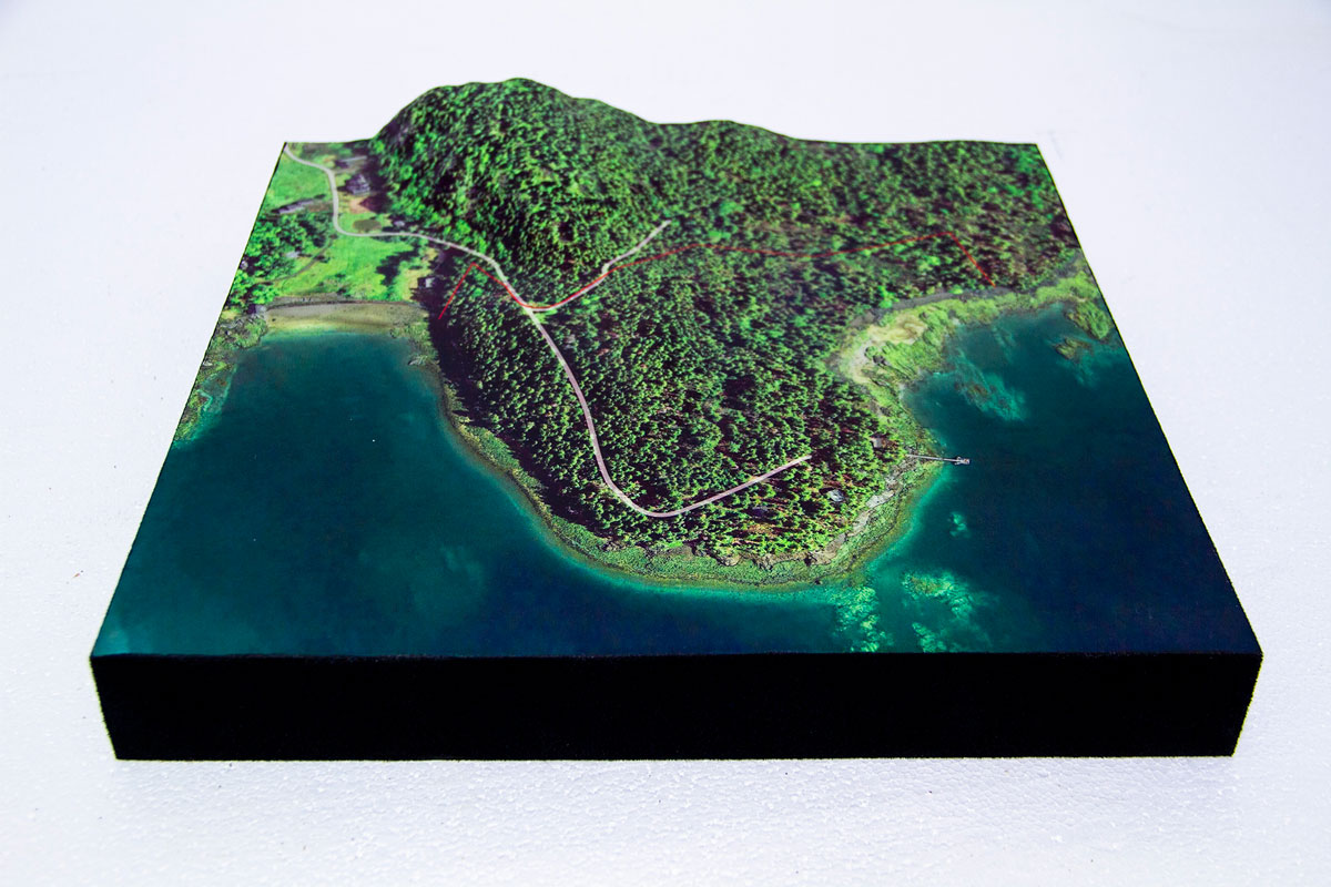
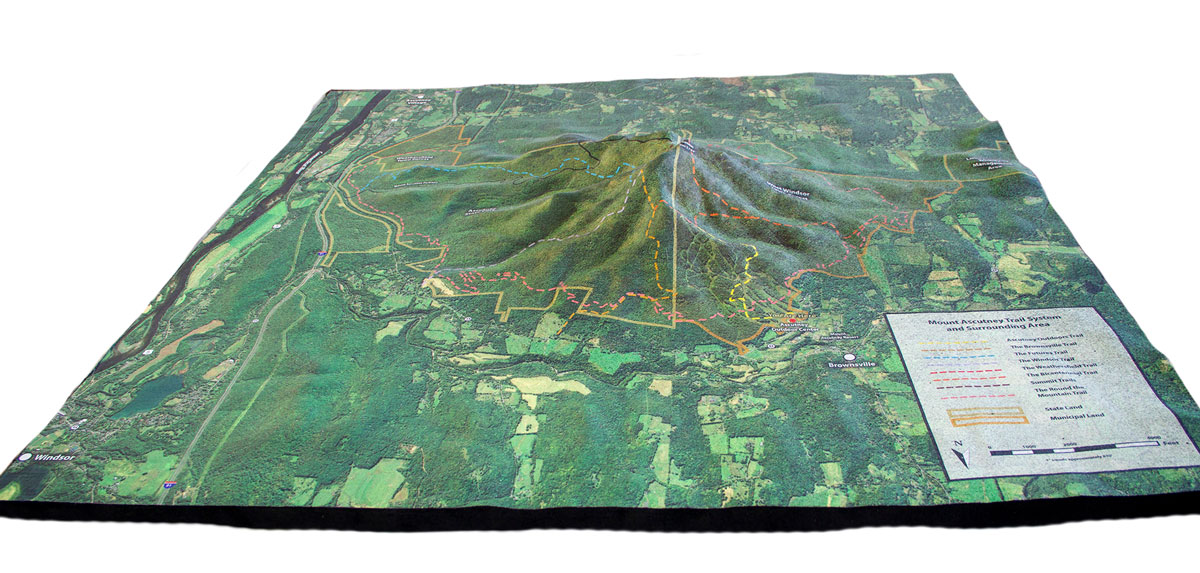
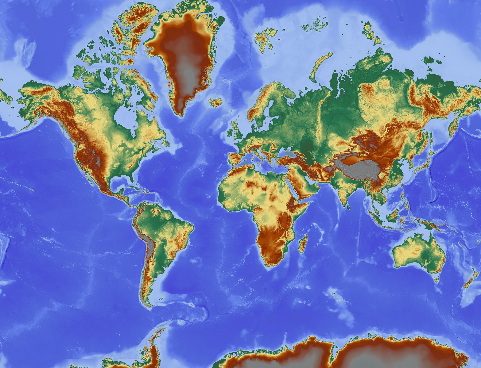
1. What areas can be turned into a relief map?
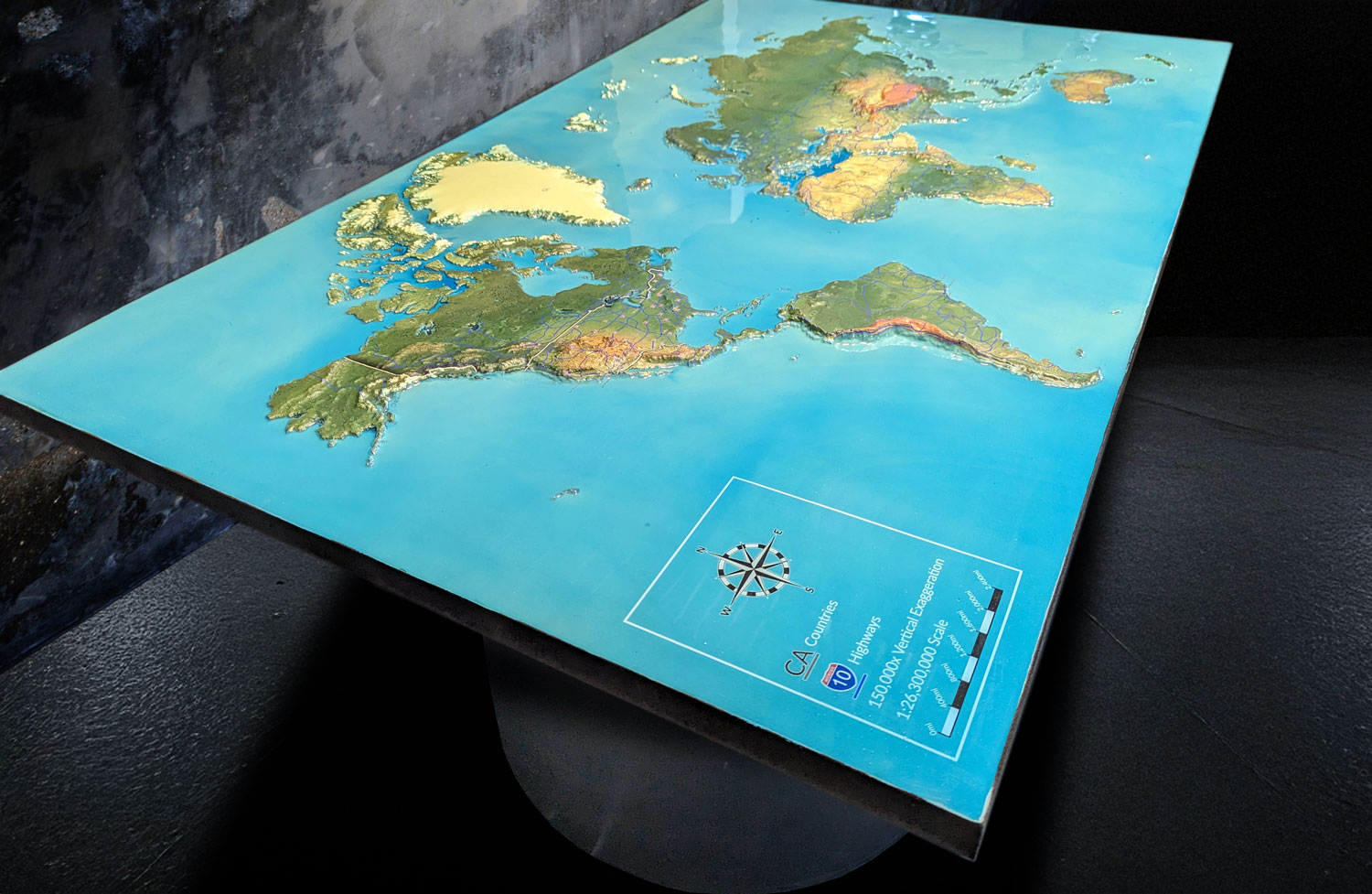
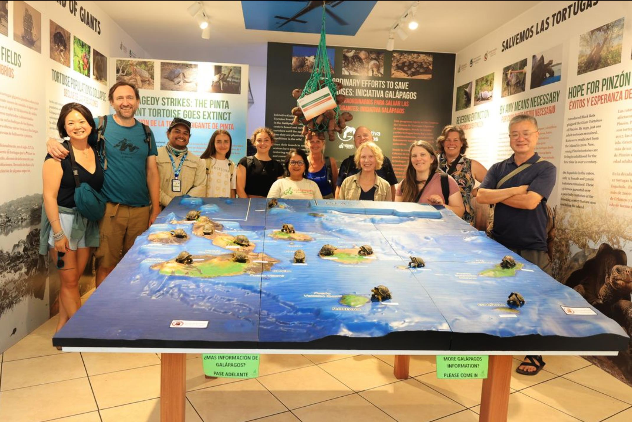
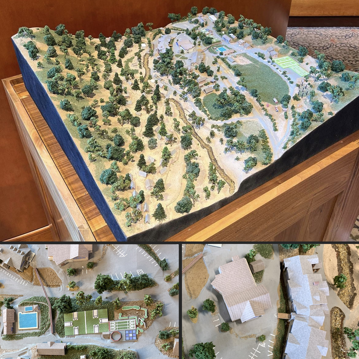
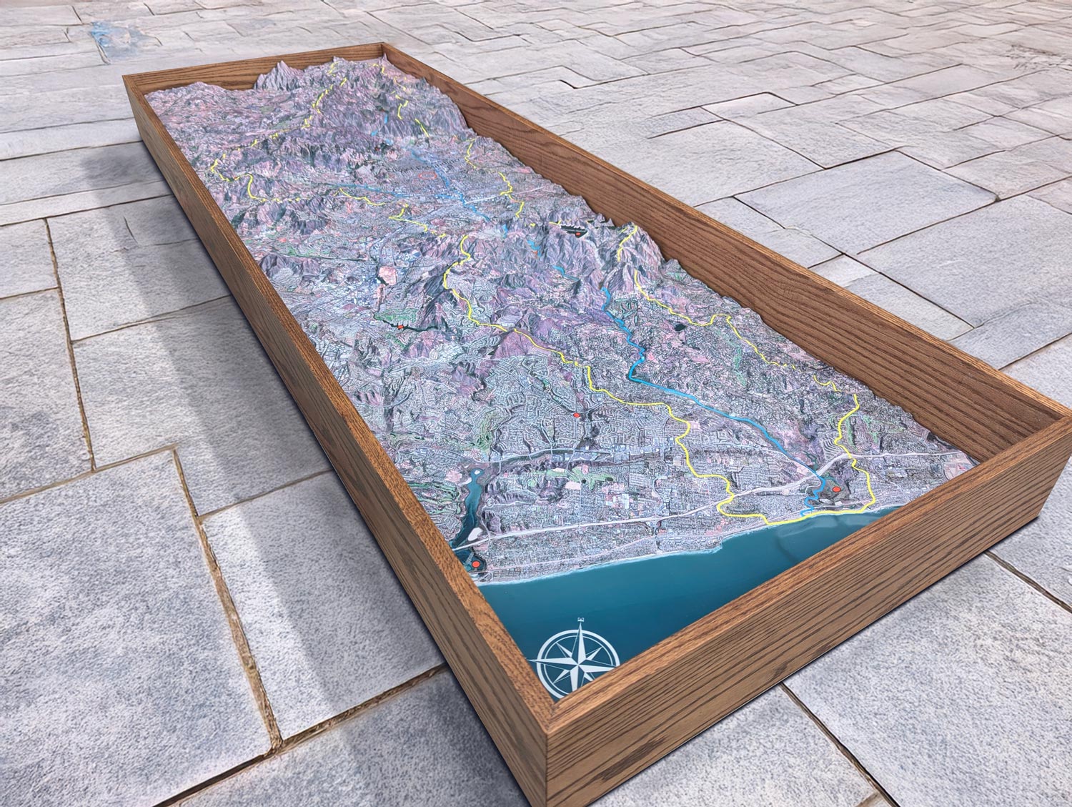
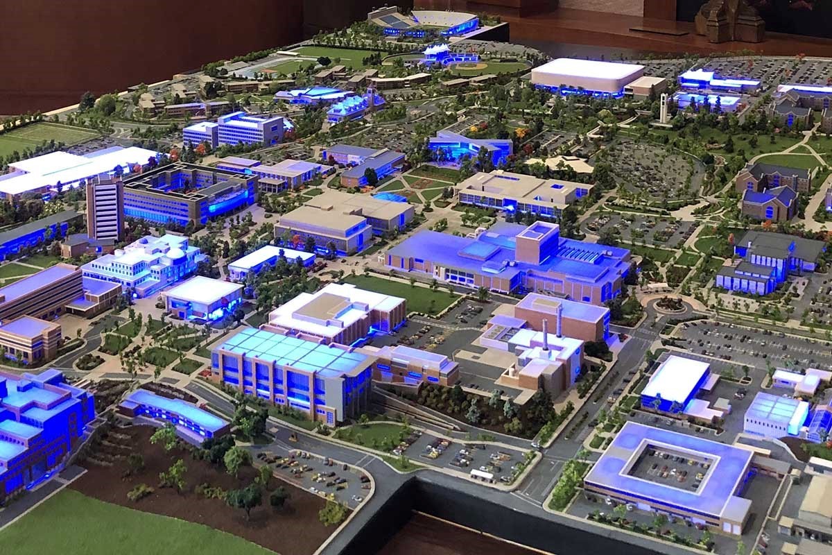
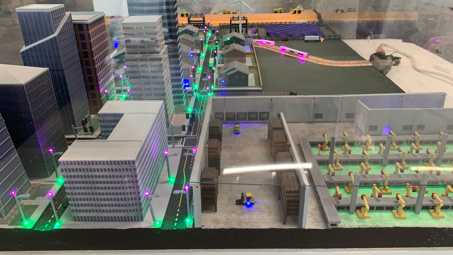
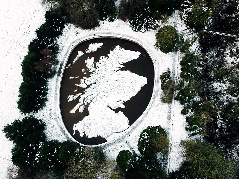
Any region in the world! We can model cities, parks, mountain ranges, islands, or entire countries using elevation data.
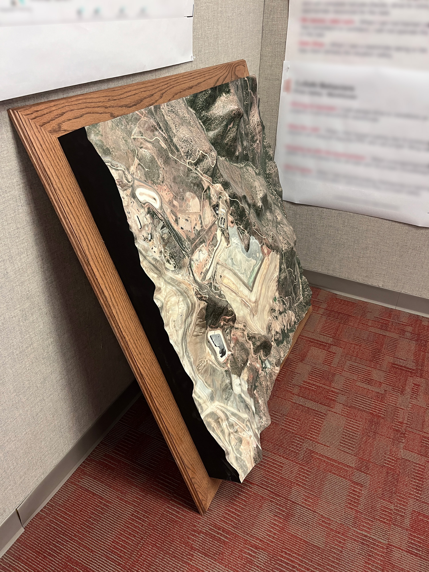
2. What materials are used to make the maps?
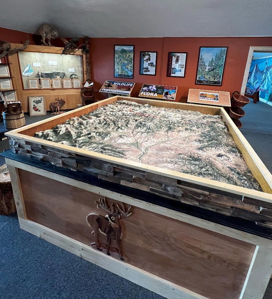
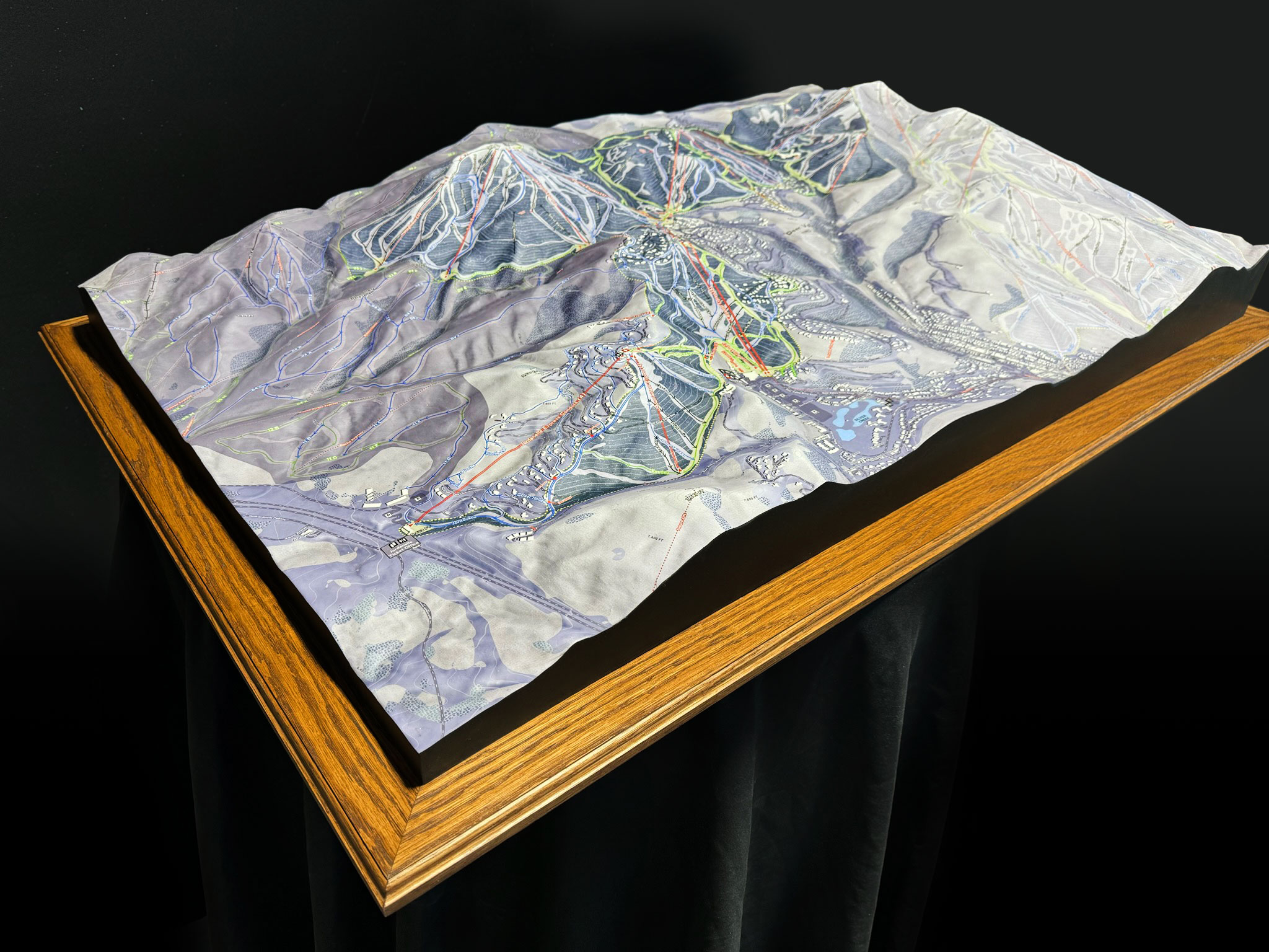
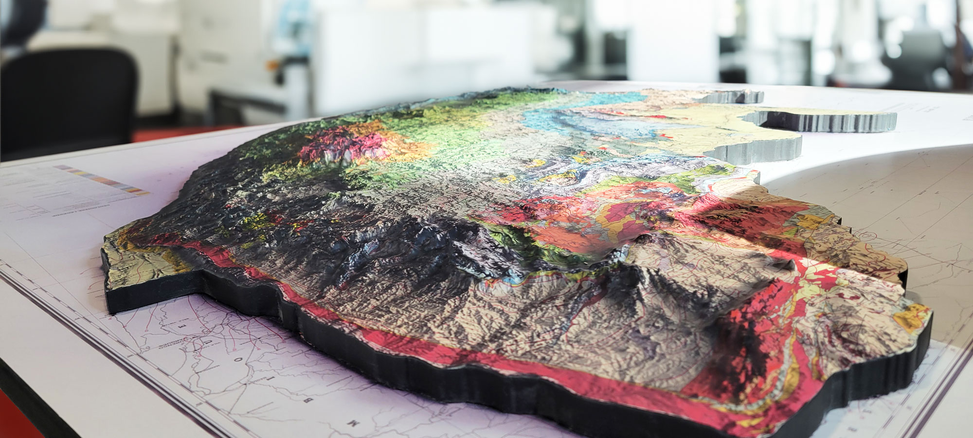
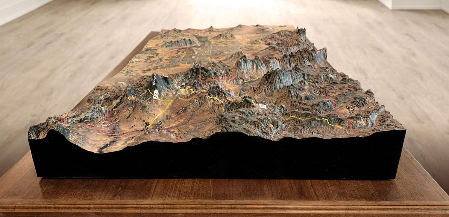
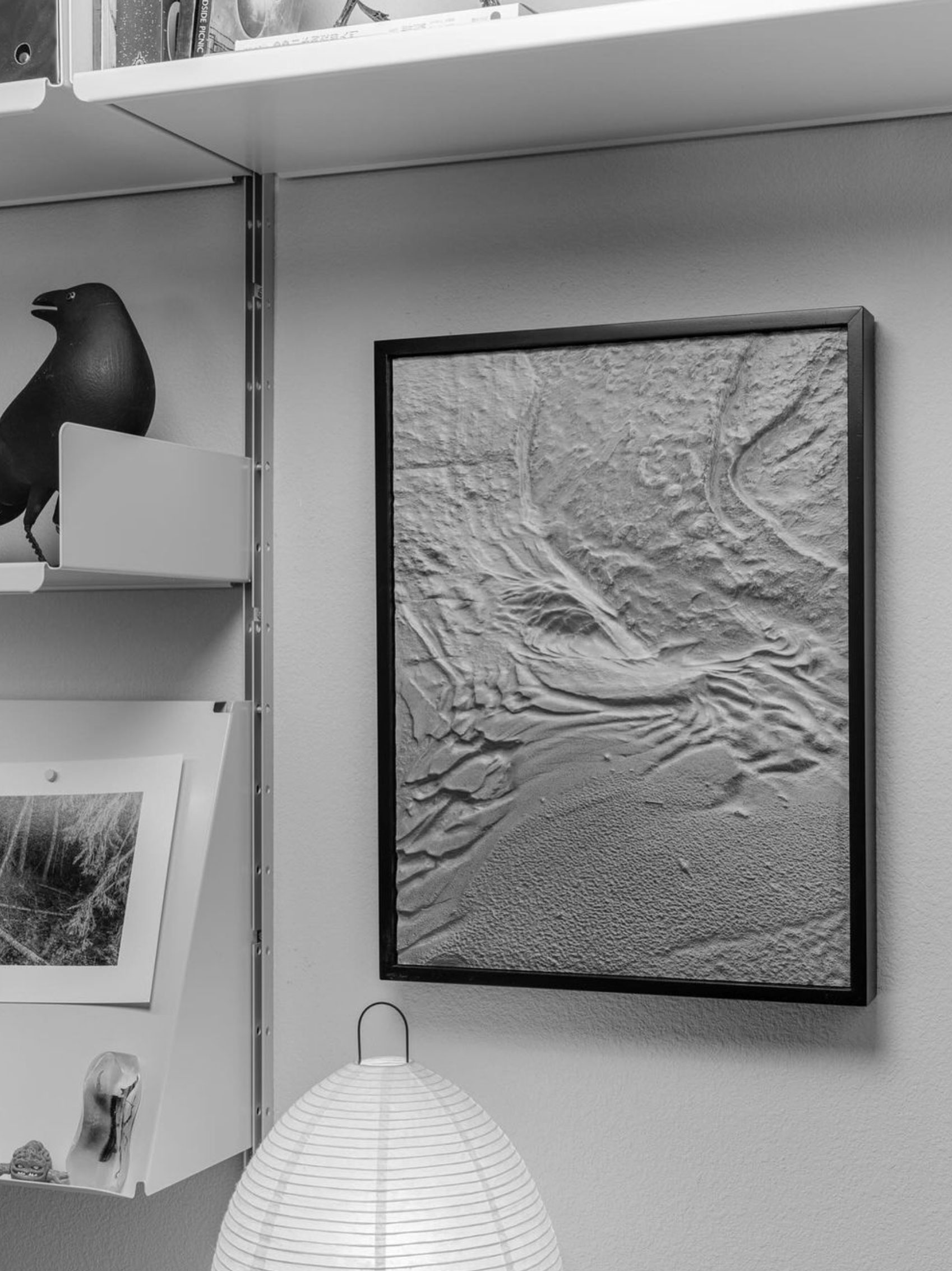
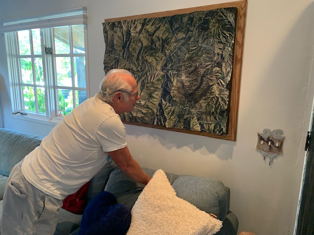
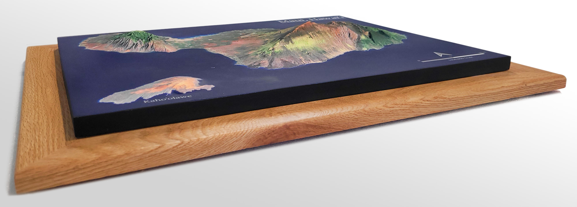
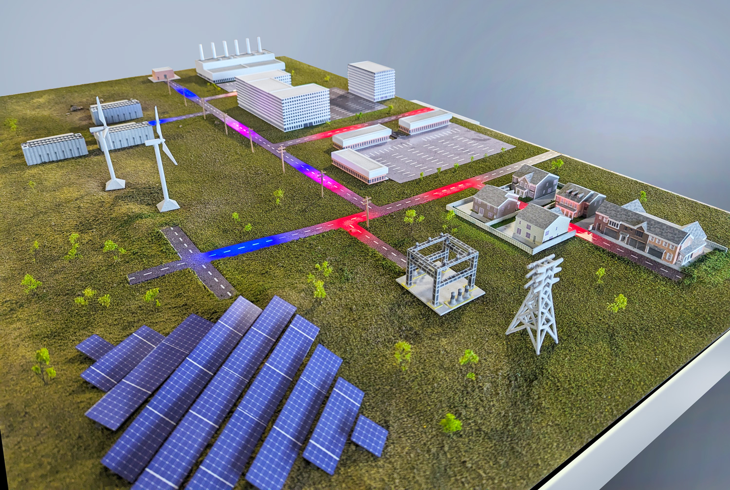
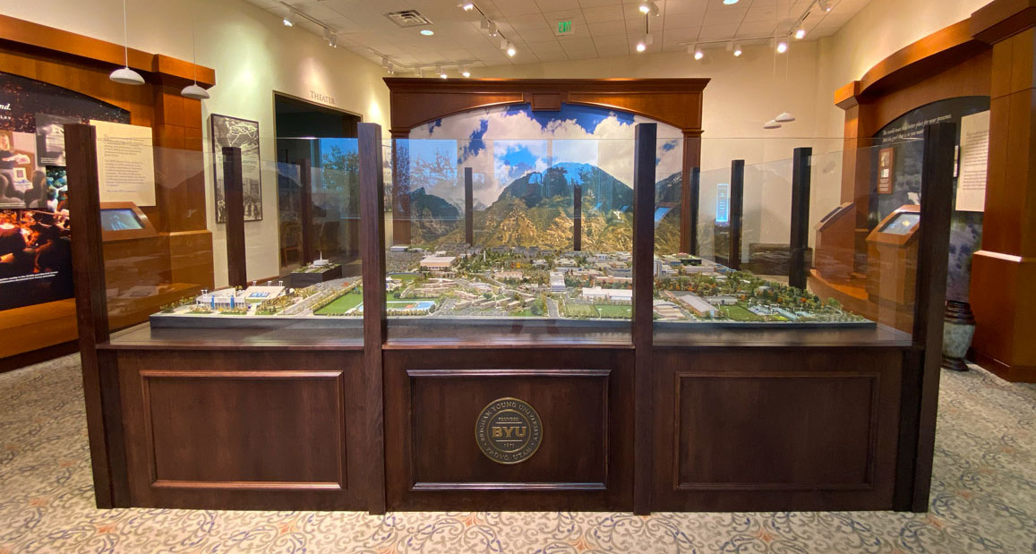
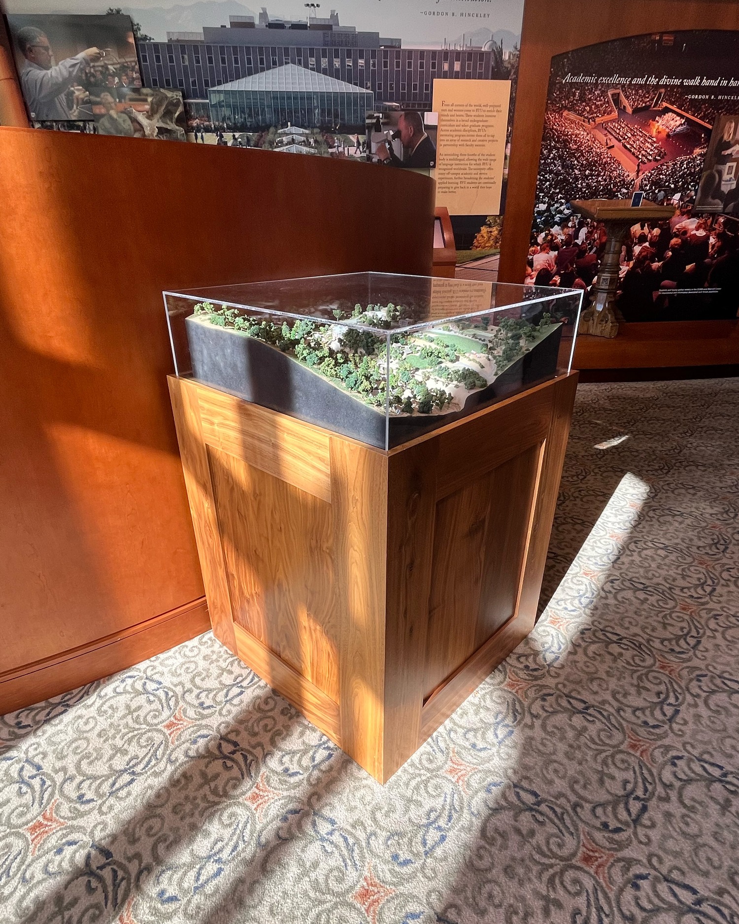
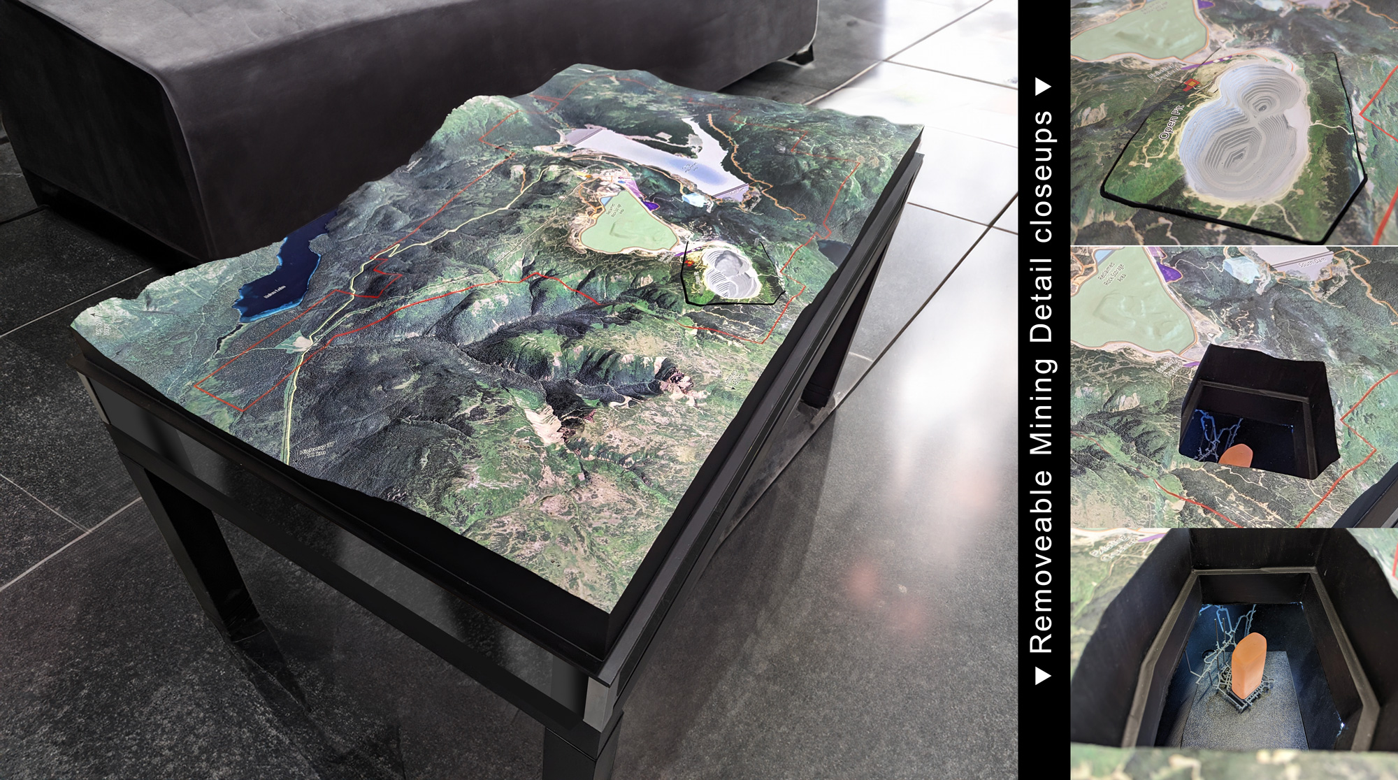
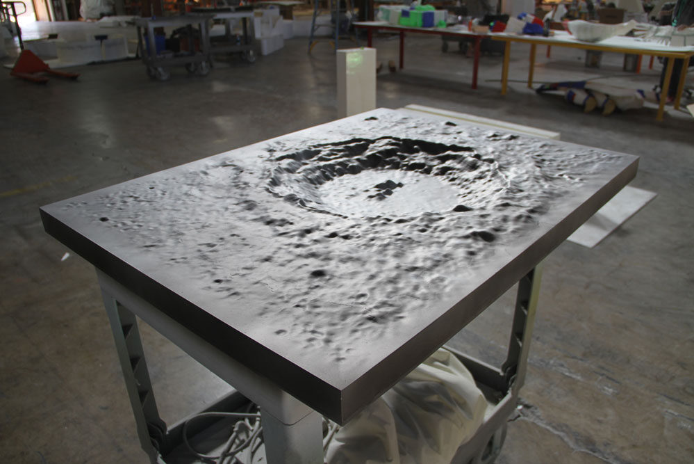
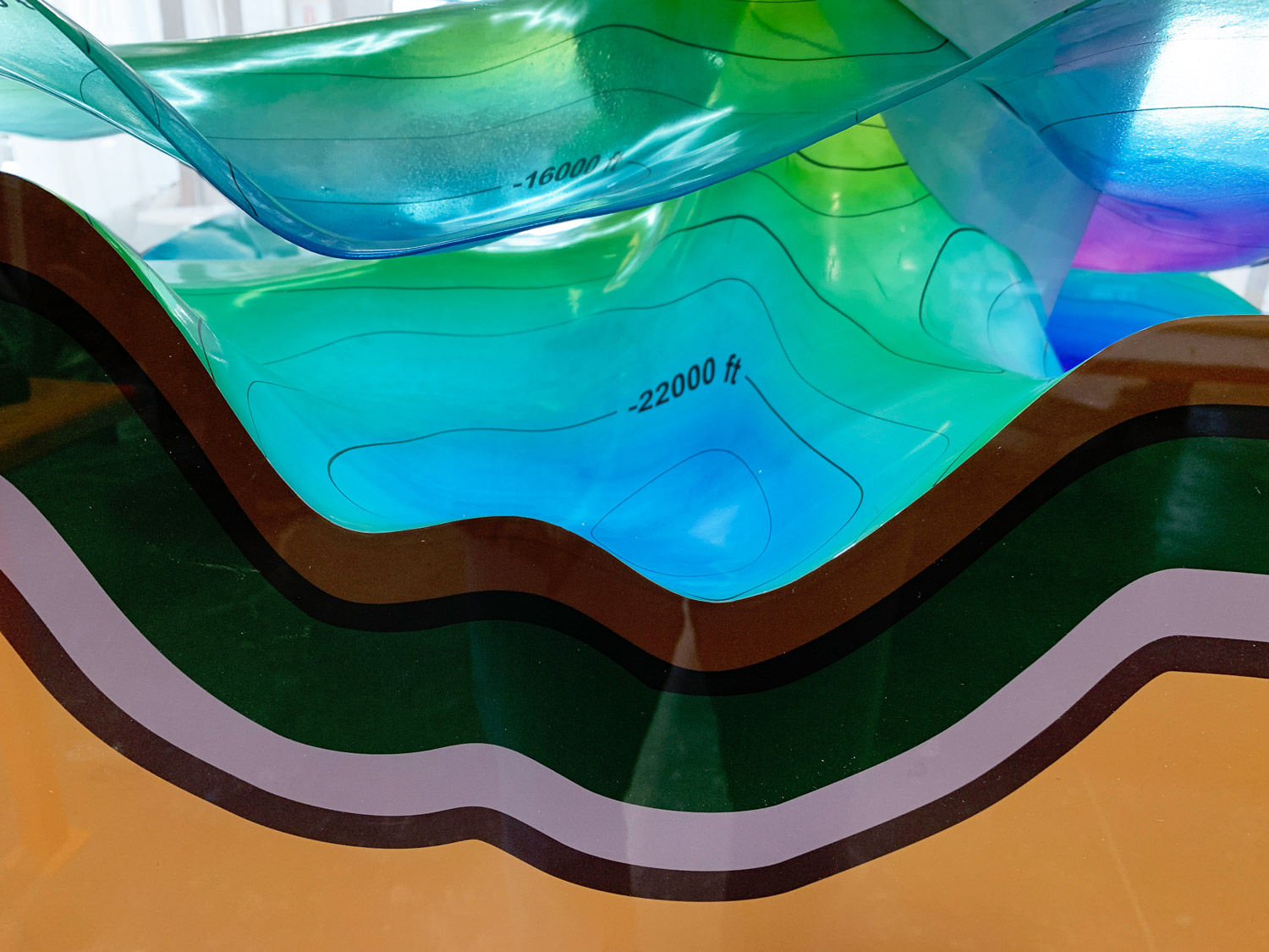
We use foam cores, composite shells, resin coatings, wood backers, and acrylic overlays depending on size and use.
3. How accurate are your maps?
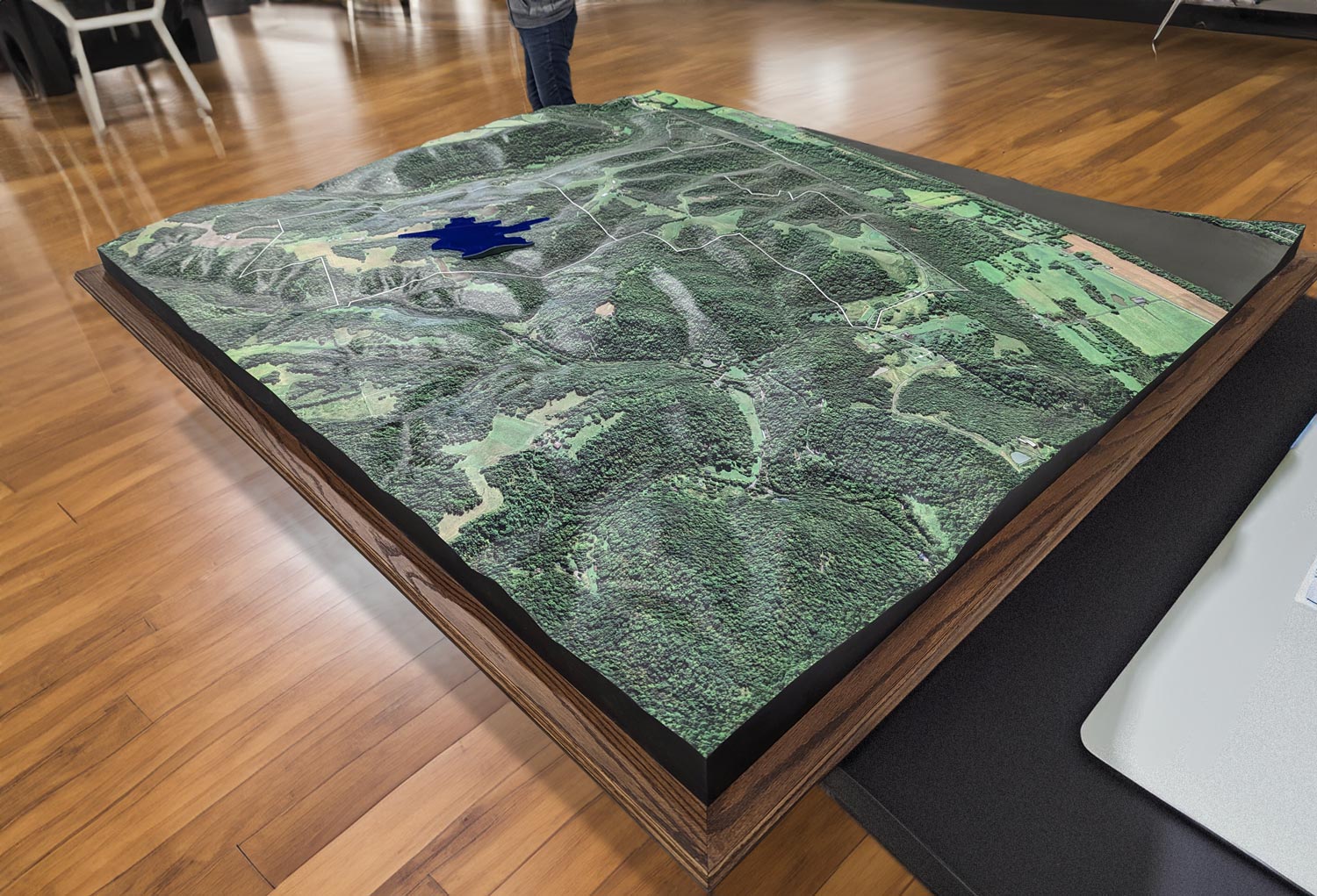
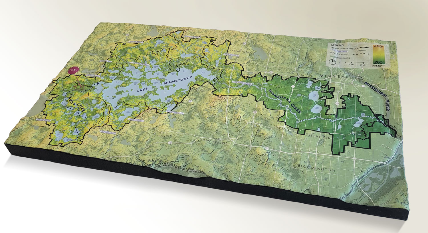
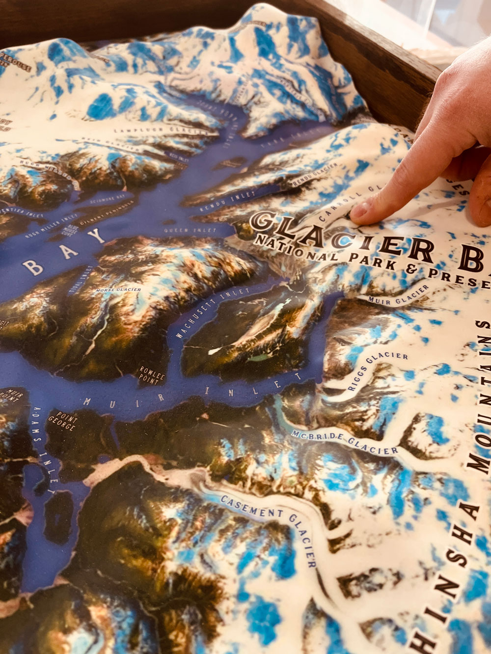
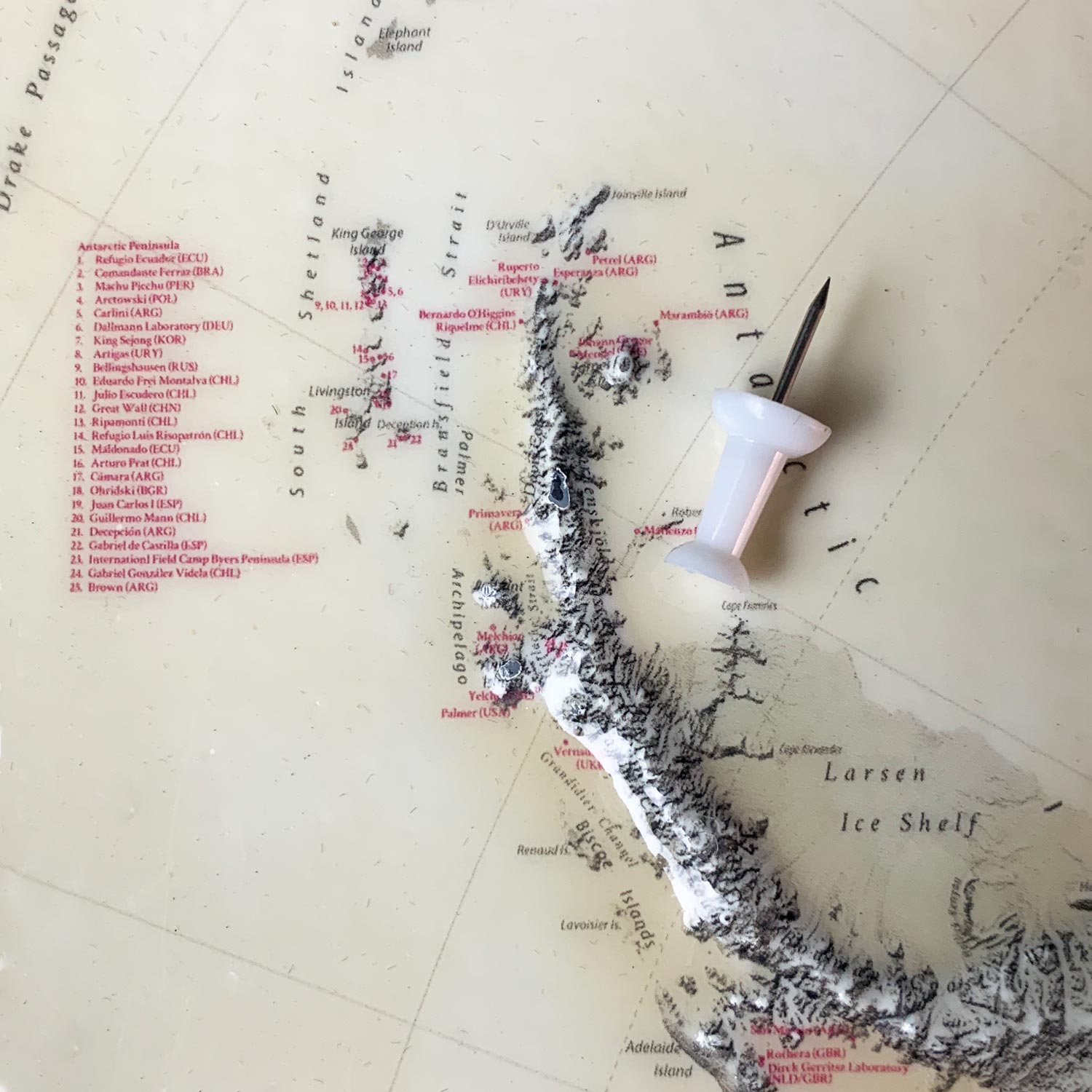
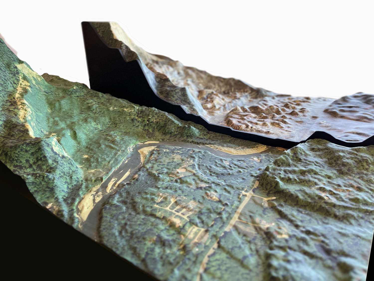
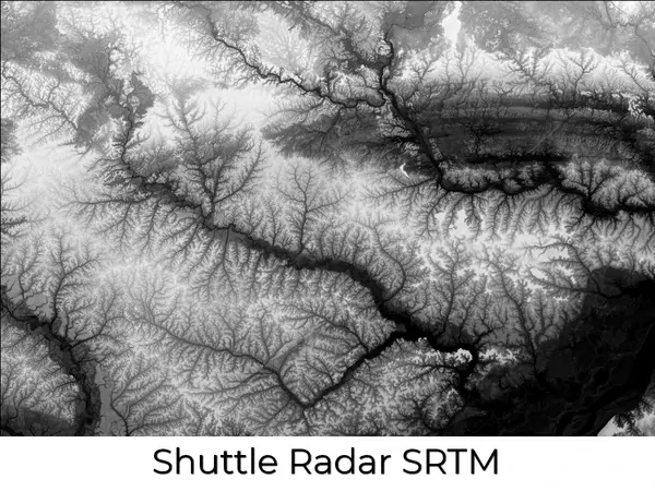
Very accurate. We base them on verified DEM and LiDAR data, ensuring precise elevation and geographic contours.
4. How large can you make them?
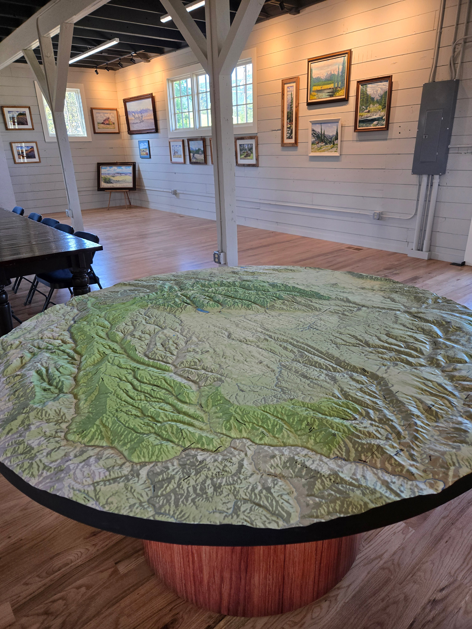
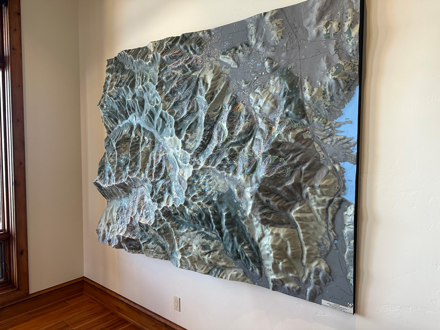
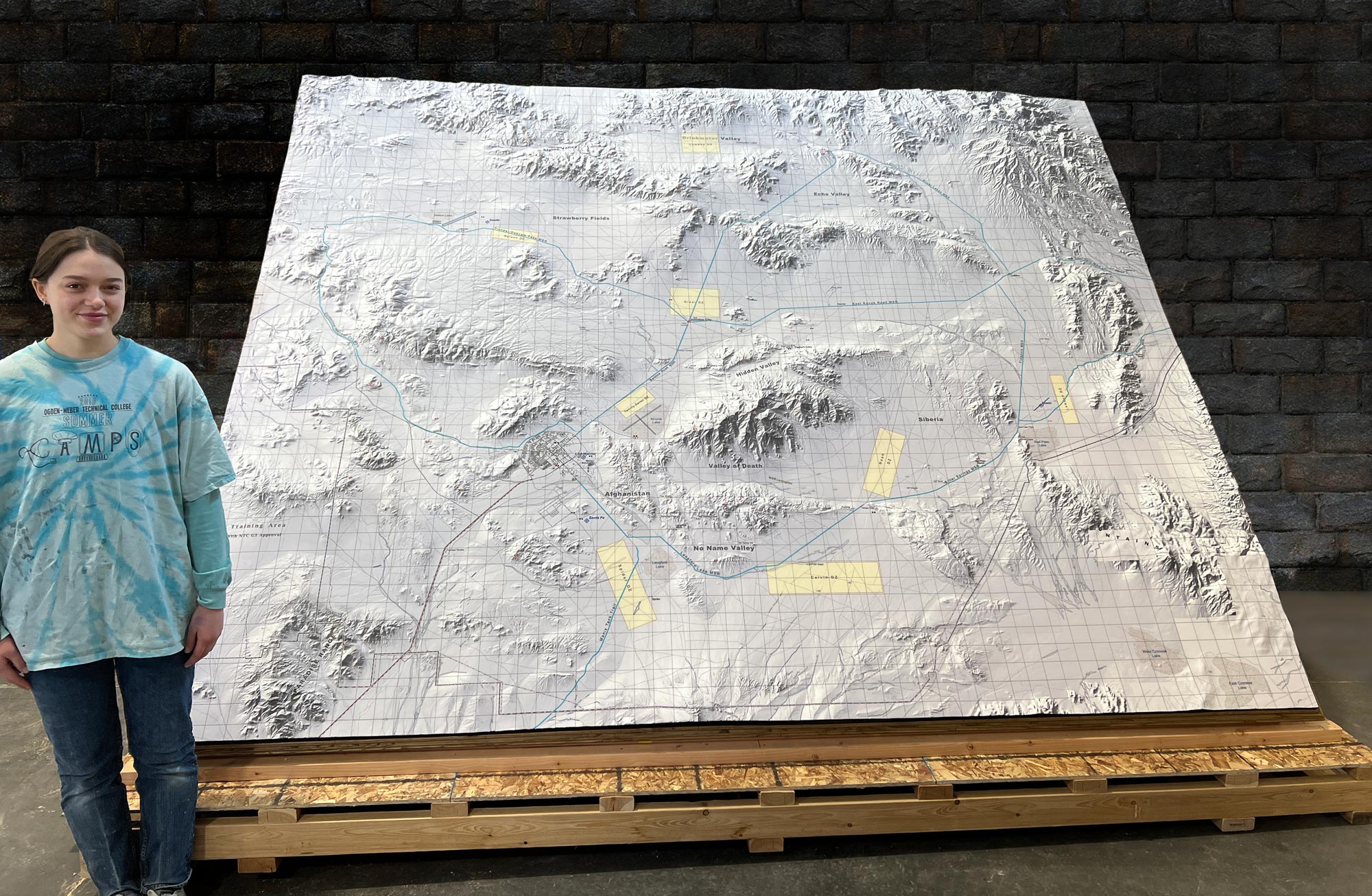
We’ve made maps ranging from 12"x12" up to 10'x20' and beyond. Size depends on your space and purpose.
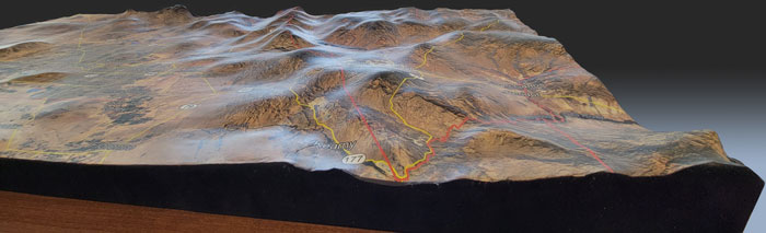
5. Can you show trails, cities, or landmarks?
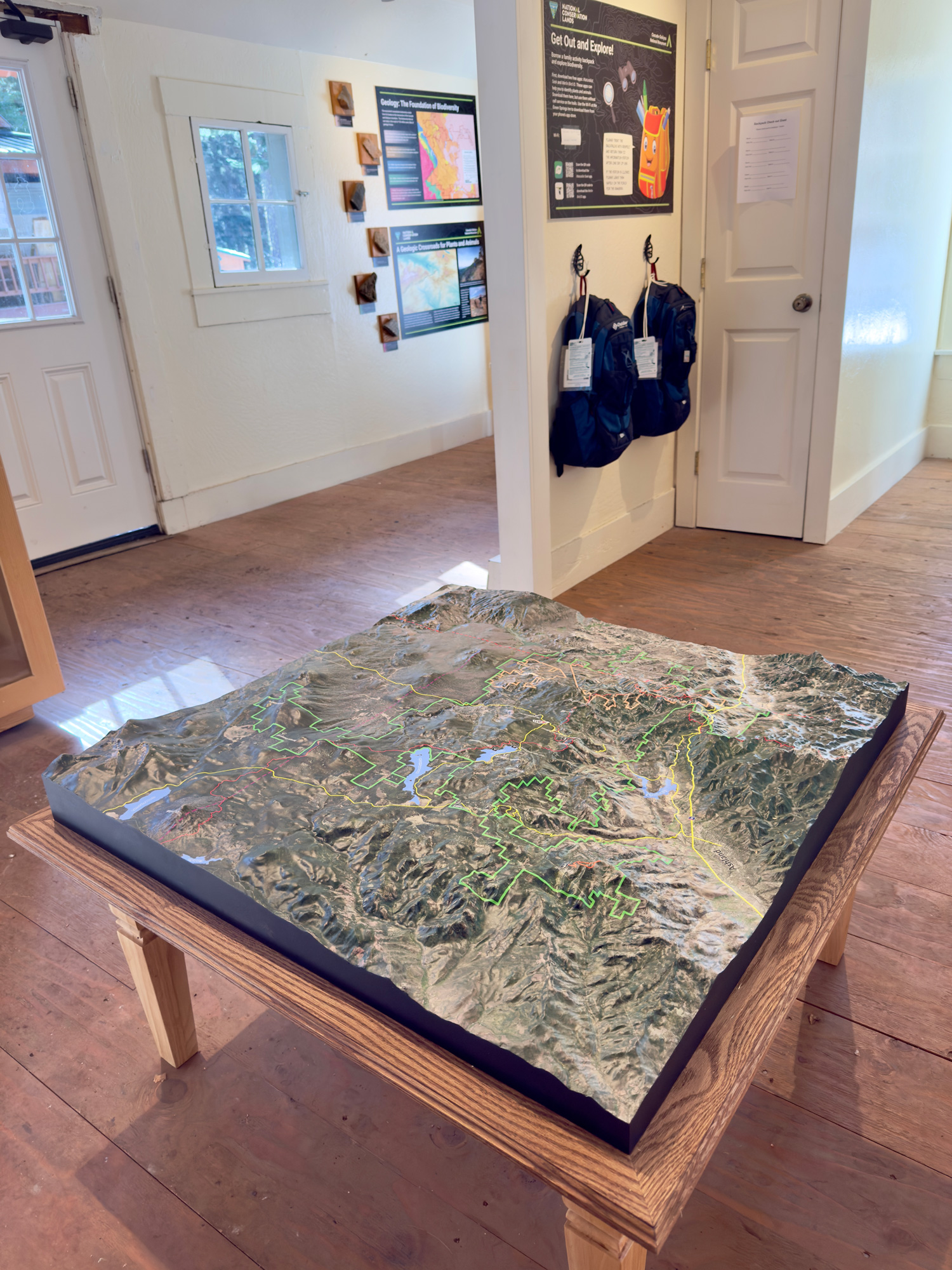
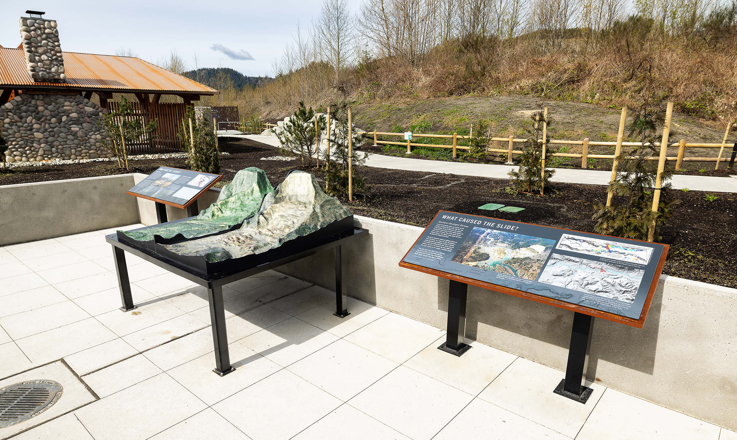
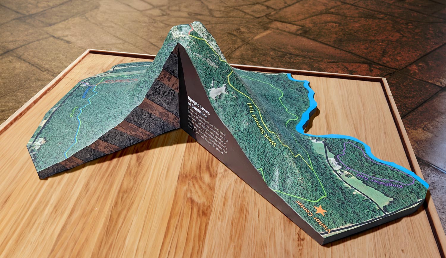
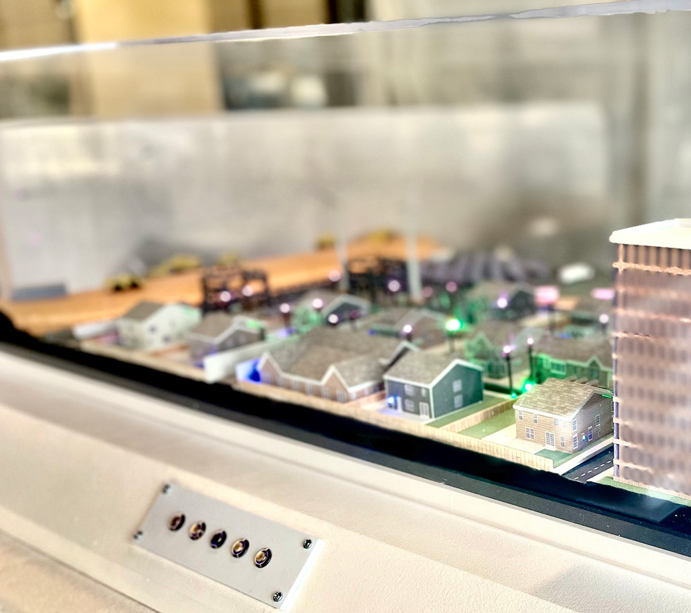
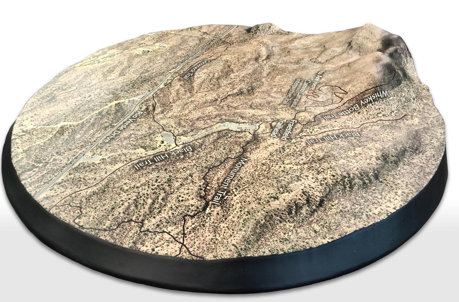
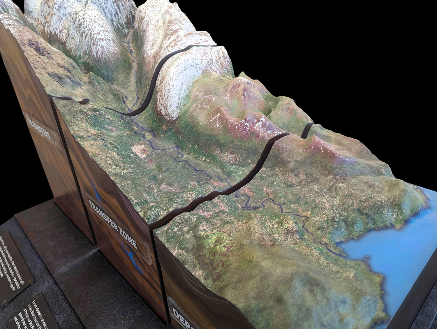
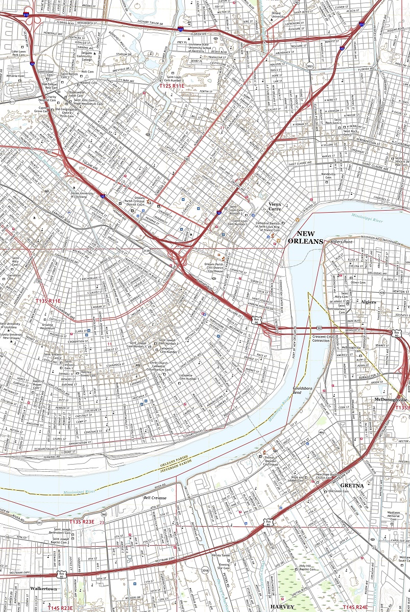
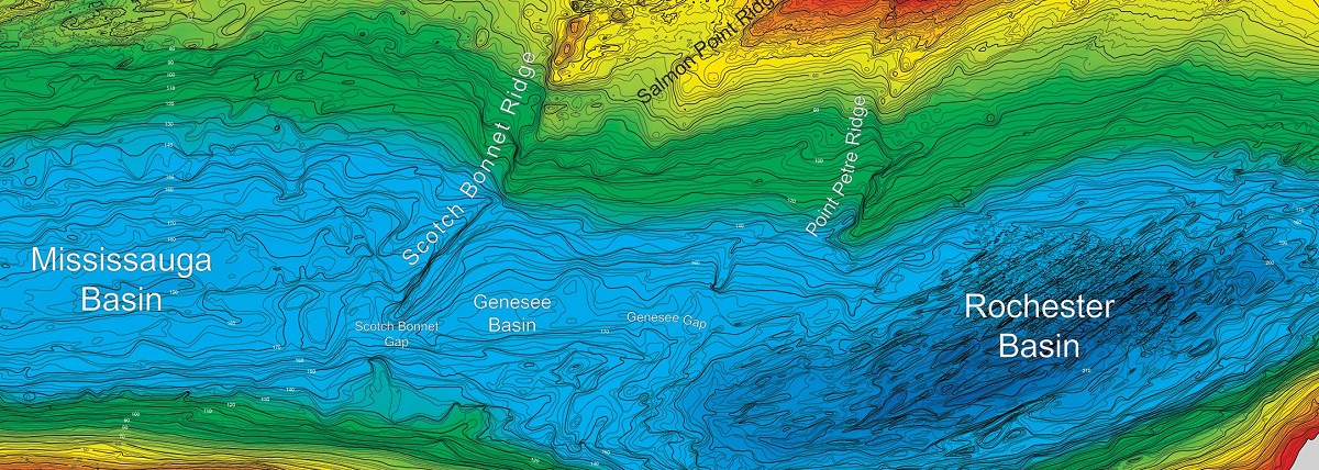
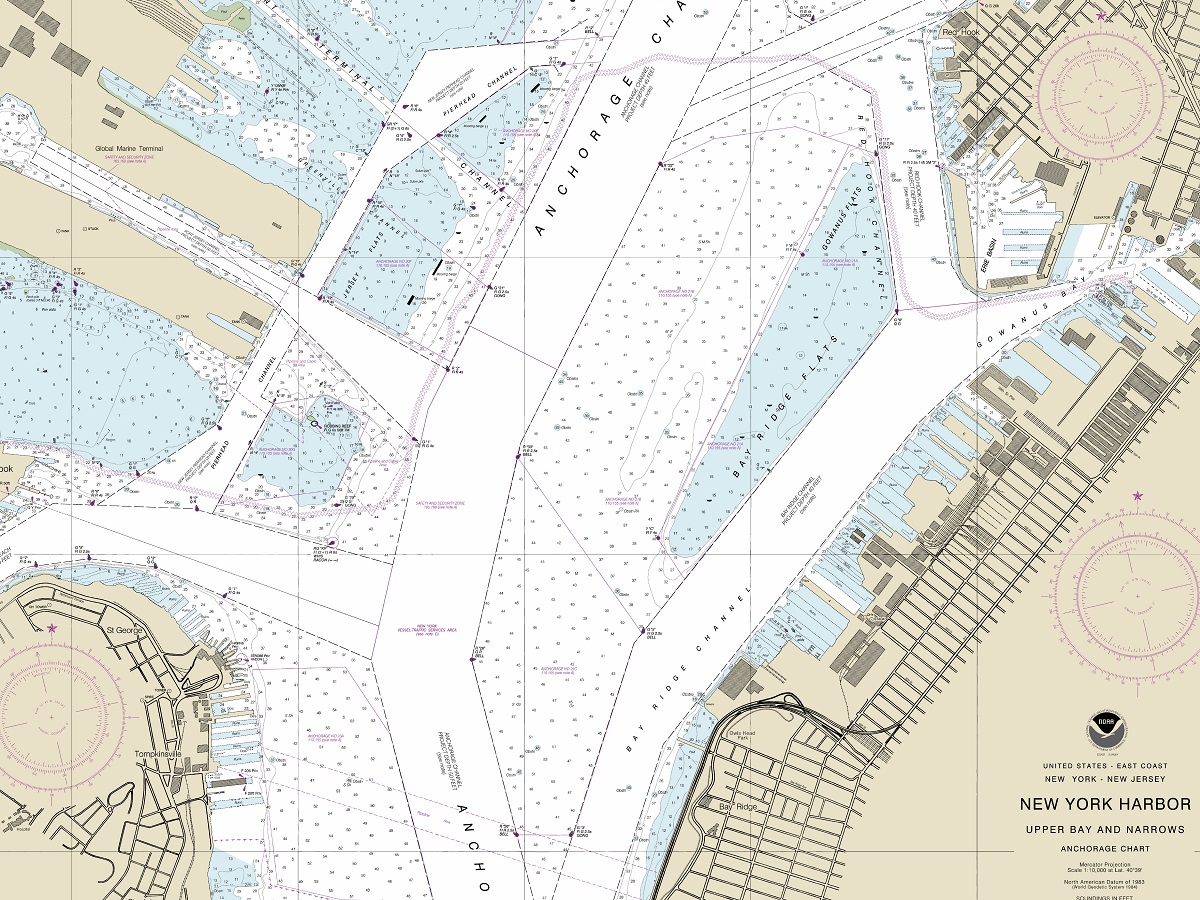
Yes. We can label hiking trails, rivers, peaks, town names, and any other point of interest you'd like.
6. How long does fabrication take?
Typical turnaround is 4–8 weeks depending on size and complexity. Rush orders may be available.
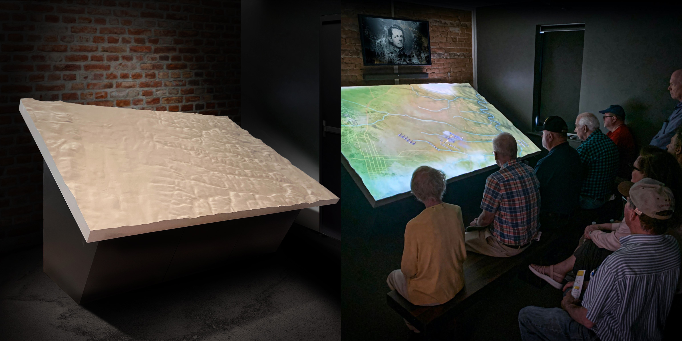
7. Can maps be interactive or lit?
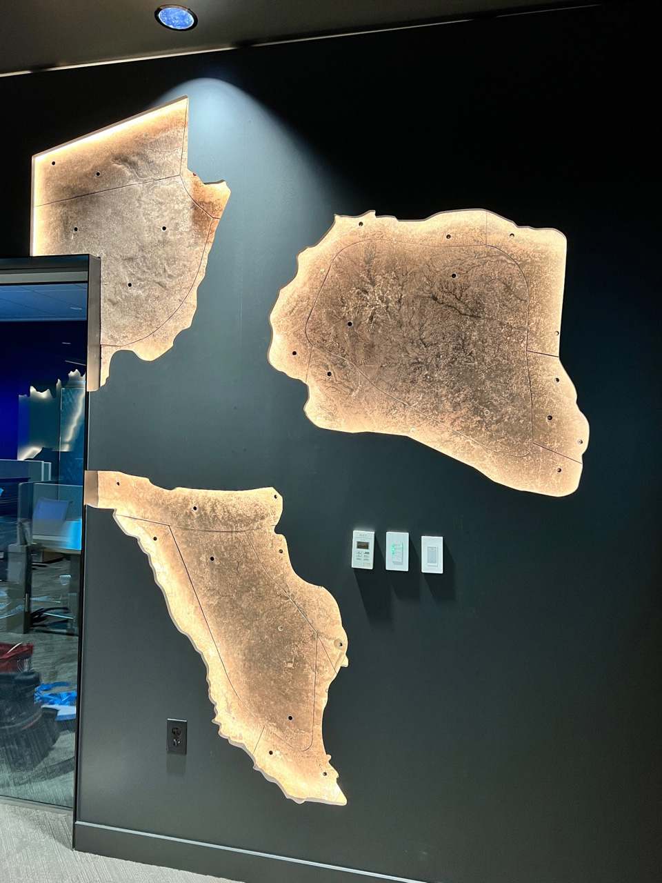
Absolutely. We offer LED backlighting, edge lighting, AR support, and QR code integration.
8. Do you install the maps or just ship them?
We do both. We offer nationwide installation or ship with detailed mounting instructions.
9. Are they weatherproof?
Indoor use is standard, but weather-resistant coatings can be added for semi-outdoor environments like kiosks or entryways.
10. Do you offer discounts for multiple maps?
Yes. Bulk pricing is available for educational districts, retail chains, or multi-property resorts.


