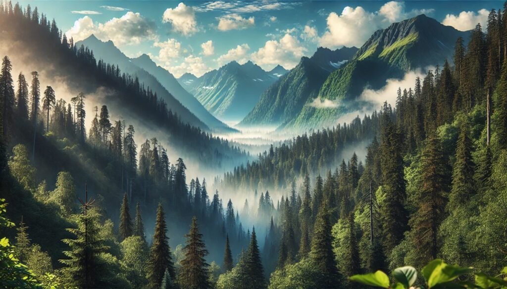
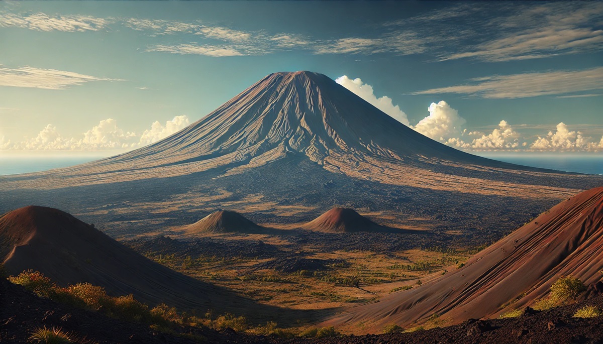
Mountains are nature’s monuments, standing tall as symbols of Earth’s dynamic geological history. Among these peaks, some are known not only for their heights but also for their extraordinary geological formations. These mountains reveal fascinating insights into the processes that shaped them, showcasing unique structures, colors, and stories etched into their rocky faces. From volcanic wonders to ancient seabeds pushed skyward, here are the top 10 mountains with unique geological formations, ranked by size, and the incredible tales they tell.
#1: Mount Everest – 29,032 Feet
Mount Everest, the tallest mountain on Earth, stands at 29,032 feet in the Himalayas, straddling the border between Nepal and Tibet. Its geological uniqueness lies in the fact that its summit was once part of the Tethys Sea, evidenced by marine limestone and fossils found near the top. Formed over millions of years through the collision of the Indian and Eurasian tectonic plates, Everest continues to rise by a few millimeters annually. Climbers often recount the awe-inspiring sight of exposed layers that narrate the planet’s history.

#2: Mauna Loa – 13,681 Feet (33,500 Feet from Base)
Mauna Loa in Hawaii is the world’s largest volcano by volume, rising 13,681 feet above sea level but towering over 33,500 feet from its base on the ocean floor. Its gently sloping shield shape is a testament to countless lava flows over the millennia. Stories of eruptions from ancient Hawaiian mythology highlight Mauna Loa’s cultural significance. Its vast calderas and lava tubes create a dramatic and ever-changing landscape.
#3: Mount Roraima – 9,219 Feet
Straddling the borders of Venezuela, Brazil, and Guyana, Mount Roraima is a flat-topped tepui rising 9,219 feet above sea level. Its sheer cliffs and tabletop plateau are the result of millions of years of erosion of ancient sandstone. Known as a “lost world,” Roraima is home to unique flora and fauna found nowhere else on Earth. The mountain inspired Sir Arthur Conan Doyle’s novel The Lost World.
#4: El Capitan – 7,573 Feet
El Capitan in Yosemite National Park, California, is a massive granite monolith rising 3,000 feet from the valley floor. Its smooth vertical faces were formed through glacial erosion and uplift. El Capitan is a mecca for climbers, with stories of daring ascents etched into its history. The iconic rock formation is also revered for its natural beauty, changing colors throughout the day as sunlight strikes its surface.
#5: Mount Kilimanjaro – 19,341 Feet
Mount Kilimanjaro in Tanzania is the tallest free-standing mountain in the world, rising 19,341 feet above the plains. Its unique geological feature is its trio of volcanic cones: Kibo, Mawenzi, and Shira. Kilimanjaro’s glaciers, though rapidly melting, add to its dramatic silhouette. Stories of early explorers and climbers recount the challenges of navigating its diverse ecosystems, from rainforests to arctic deserts.
#6: The Wave (Coyote Buttes) – 5,225 Feet
Located in Arizona’s Vermilion Cliffs National Monument, The Wave is a stunning sandstone formation rising 5,225 feet above sea level. Its surreal, wave-like patterns were sculpted by wind and water over millions of years. Photographers and hikers are captivated by its swirling red, orange, and pink hues. Ancient petroglyphs nearby hint at the area’s long history of human fascination.
#7: Half Dome – 8,839 Feet
Half Dome in Yosemite National Park is an iconic granite peak rising 8,839 feet. Its sheer face was formed by exfoliation and glacial activity, creating its distinctive dome shape. Climbers and hikers are drawn to its cables route, with thrilling stories of triumph and challenge on its slopes.
#8: Mount Thor – 5,495 Feet
Mount Thor in Canada’s Auyuittuq National Park boasts the world’s greatest vertical drop, with a sheer face descending 4,101 feet. Its rugged granite cliffs are a result of tectonic forces and glacial carving. Climbers are both awed and tested by its steep walls, while its remote Arctic location adds to its mystique.
#9: Devil’s Tower – 5,112 Feet
Rising 5,112 feet in Wyoming, Devil’s Tower is a monolithic butte formed by volcanic activity. Its hexagonal basalt columns were created by the slow cooling of magma. Native American legends describe it as a sacred site, and it remains a symbol of mystery and reverence.
#10: Mount Fitz Roy – 11,171 Feet
Located in Patagonia, Mount Fitz Roy rises 11,171 feet with jagged peaks of granite. Its striking spires were sculpted by glaciers and erosion, creating a dramatic silhouette. Early explorers marveled at its otherworldly beauty, and climbers are drawn to its technical challenges.
The world’s most unique mountains are not just towering peaks but windows into Earth’s past and present. Their formations tell stories of fire, ice, and time, capturing the imagination of explorers, geologists, and dreamers. These geological wonders remind us of the planet’s dynamic nature and the beauty found in its ever-changing landscapes.