Canals are engineering marvels that transform landscapes and connect regions, enabling commerce, transportation, and innovation on a grand scale. The largest canals in the world are feats of human ingenuity, cutting through vast terrains and linking oceans, seas, and rivers. They have shaped history, served as lifelines for nations, and remain integral to global trade. Here are the top 10 largest canals in the world, ranked by size, showcasing their construction, significance, and fascinating stories.
#1: The Grand Canal – 1,104 Miles
The Grand Canal of China is the longest canal in the world, spanning an impressive 1,104 miles. Connecting Beijing to Hangzhou, it dates back to the 6th century BC and played a crucial role in uniting northern and southern China. The canal’s intricate locks and aqueducts were groundbreaking for their time. It facilitated the transport of grain and other goods, fueling the country’s economy and cultural exchange for centuries. Today, parts of the canal are UNESCO World Heritage Sites, celebrated for their historical significance.

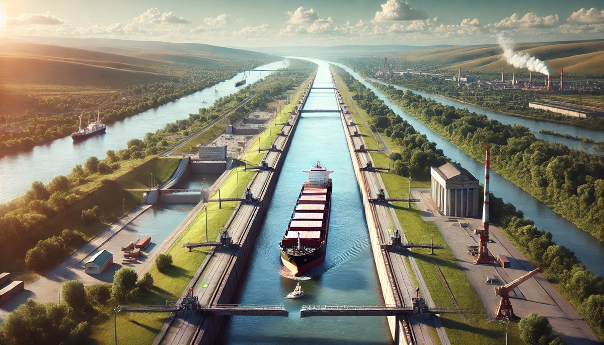
#2: The Volga–Don Canal – 65 Miles
Located in Russia, the Volga–Don Canal is a vital waterway connecting the Volga and Don Rivers. Spanning 65 miles, it was completed in 1952 and forms a crucial link in the Volga–Don Basin water system. The canal is lined with 13 locks, each a masterpiece of Soviet engineering. Stories of the canal’s construction reveal the immense challenges faced by workers, including harsh conditions and ambitious deadlines. It remains a key trade route, enabling the movement of goods between Europe and Asia.
#3: The Suez Canal – 120 Miles
The Suez Canal in Egypt is one of the most famous canals globally, stretching 120 miles and connecting the Mediterranean Sea to the Red Sea. Completed in 1869, it revolutionized global trade by providing a direct route between Europe and Asia, bypassing the need to sail around Africa. The canal’s history is marked by political significance, including its nationalization in 1956. Today, it is a vital artery for international shipping, generating billions in revenue annually.
#4: The Panama Canal – 51 Miles
The Panama Canal is a 51-mile marvel connecting the Atlantic and Pacific Oceans through the Isthmus of Panama. Completed in 1914, its locks raise and lower ships through a series of artificial lakes and channels. The canal significantly reduced travel time for ships, transforming global trade routes. Anecdotes of its construction highlight the immense challenges, including tropical diseases like malaria. The canal underwent a major expansion in 2016, accommodating larger vessels and further enhancing its importance.
#5: The Kiel Canal – 61 Miles
The Kiel Canal in Germany is one of the busiest artificial waterways in the world, stretching 61 miles and connecting the North Sea to the Baltic Sea. Completed in 1895, it shortened the route for ships traveling between these bodies of water by 280 miles. Its efficiency and safety have made it a preferred route for commercial shipping. The canal is lined with scenic views, attracting tourists and photographers.
#6: The Welland Canal – 27 Miles
Part of the St. Lawrence Seaway in Canada, the Welland Canal stretches 27 miles and bypasses the Niagara Falls, connecting Lake Ontario and Lake Erie. Completed in 1932, it is a critical link in the Great Lakes shipping system. The canal’s locks lift ships over 300 feet, enabling smooth navigation between the two lakes. Its history includes tales of engineering breakthroughs and its role in fostering economic growth in the region.
#7: The Corinth Canal – 4 Miles
The Corinth Canal in Greece, though only 4 miles long, is a remarkable engineering achievement. Cutting through the Isthmus of Corinth, it connects the Aegean and Ionian Seas. Completed in 1893, the canal’s steep limestone walls and narrow passage make it a dramatic sight. Its history dates back to ancient Greece, with early attempts by rulers like Nero to construct it.
#8: The Göta Canal – 120 Miles
The Göta Canal in Sweden spans 120 miles, connecting Gothenburg and Stockholm through lakes and rivers. Completed in 1832, it features 58 locks and is a confirmation to Sweden’s industrial ingenuity. Today, the canal is a popular tourist destination, offering picturesque views and a glimpse into 19th-century engineering.
#9: The Illinois Waterway – 336 Miles
The Illinois Waterway, a 336-mile system of rivers and canals, connects Lake Michigan to the Mississippi River. Completed in the early 20th century, it is a vital corridor for agricultural and industrial goods. The waterway’s history is tied to the economic development of the Midwest, serving as a lifeline for trade and transportation.
#10: The Erie Canal – 363 Miles
The Erie Canal in New York spans 363 miles, connecting the Hudson River to Lake Erie. Completed in 1825, it was a groundbreaking project that transformed transportation and commerce in the United States. The canal’s success inspired a wave of canal-building across the country. Anecdotes of its construction include the use of innovative tools and techniques that set new standards for infrastructure projects.
The largest canals in the world are not just impressive engineering achievements but also vital lifelines for trade, transportation, and cultural exchange. From the ancient Grand Canal of China to the modern marvel of the Panama Canal, these waterways have shaped history and continue to connect the world. Preserving and celebrating these canals ensures their stories and significance endure for future generations.