Let’s embark on an extraordinary journey as we delve deeper into the mesmerizing underground world of the United States’ top 10 most spectacular caves. Each cavern tells a unique tale of geological history, shaping otherworldly landscapes beneath our feet.
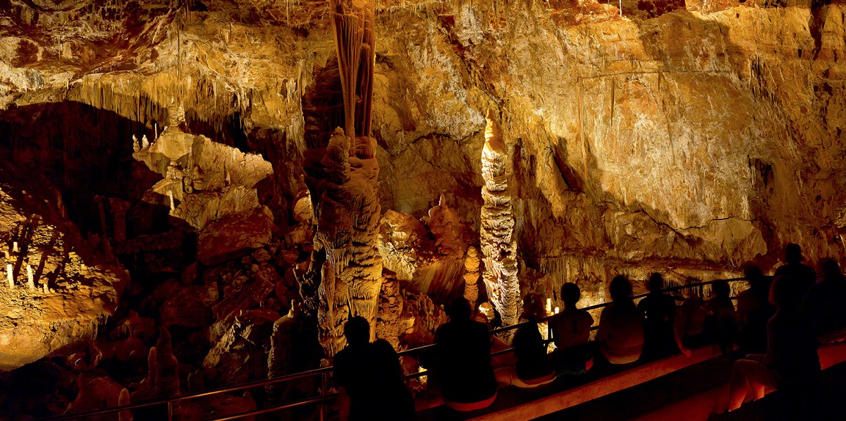
#1: Carlsbad Caverns, New Mexico
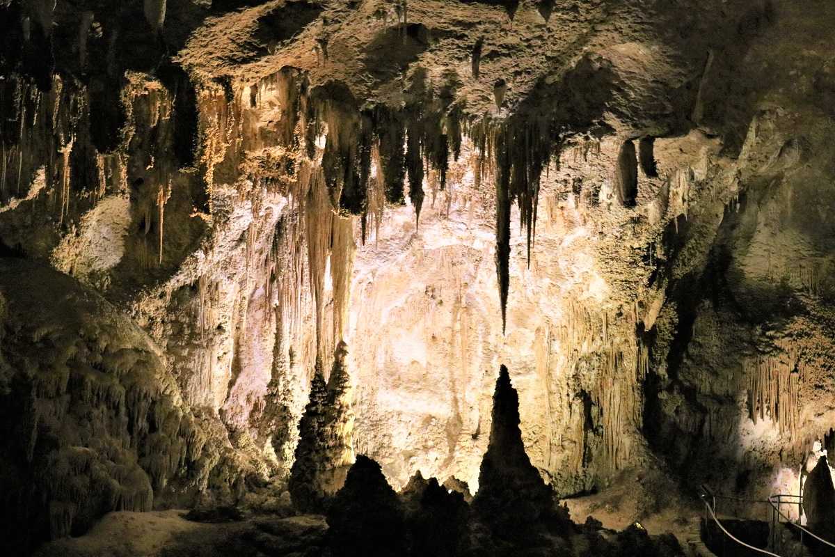
Deep in the Guadalupe Mountains, Carlsbad Caverns National Park houses over 119 caves, the most famous being the Big Room. Discovered by Jim White, a young cowboy, in 1898, Carlsbad Caverns is a true testament to nature’s artistic prowess. The Big Room, stretching approximately 4,000 feet long, 625 feet wide, and reaching 255 feet at its highest point, is the third-largest chamber in North America. Among the cave’s myriad of formations, “The Bottomless Pit” and “Witch’s Finger” are visitor favorites. When dusk falls, an unforgettable spectacle takes place: a swirling vortex of Brazilian free-tailed bats takes flight from the cave’s entrance in search of their evening meal. (727 Carlsbad Caverns Highway, Carlsbad, New Mexico 88220)
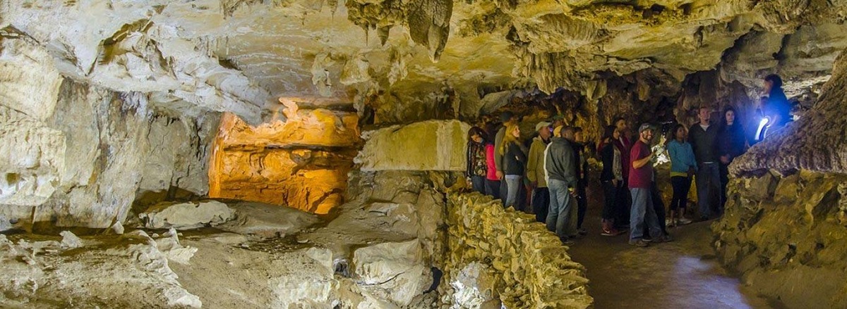
#2: Mammoth Cave, Kentucky
As the world’s longest cave system, Mammoth Cave houses a whopping 400 miles of mapped passages and counting! The cave’s formation began millions of years ago with the erosion of soluble limestone bedrock. Named by European settlers in the late 18th century for its mammoth-like proportions, this cave is home to an impressive array of fauna and unique geological formations like gypsum flowers. Its history is also marked by mining operations for saltpeter, a key ingredient in gunpowder, during the War of 1812. With its endless passages and rich history, the Mammoth Cave continues to draw millions of visitors annually. (1 Mammoth Cave Parkway, Mammoth Cave, KY 42259)
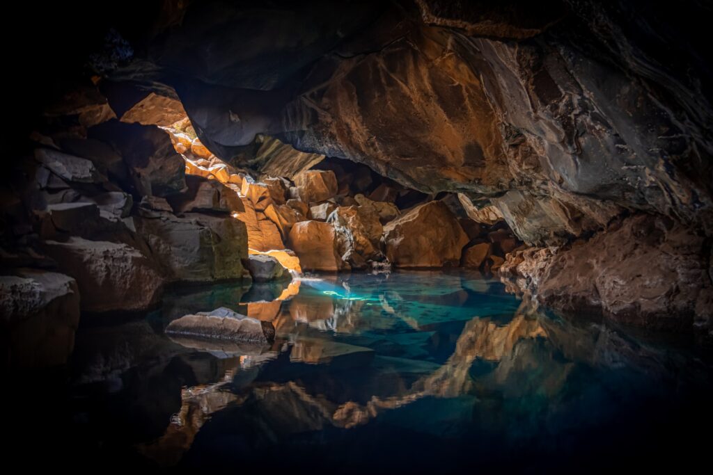
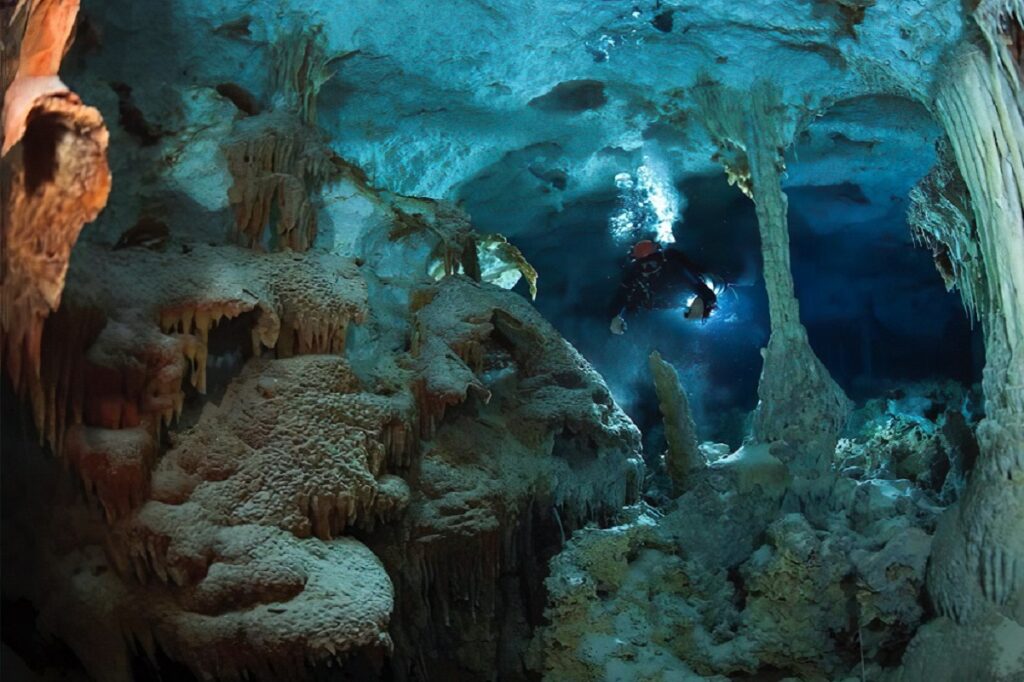
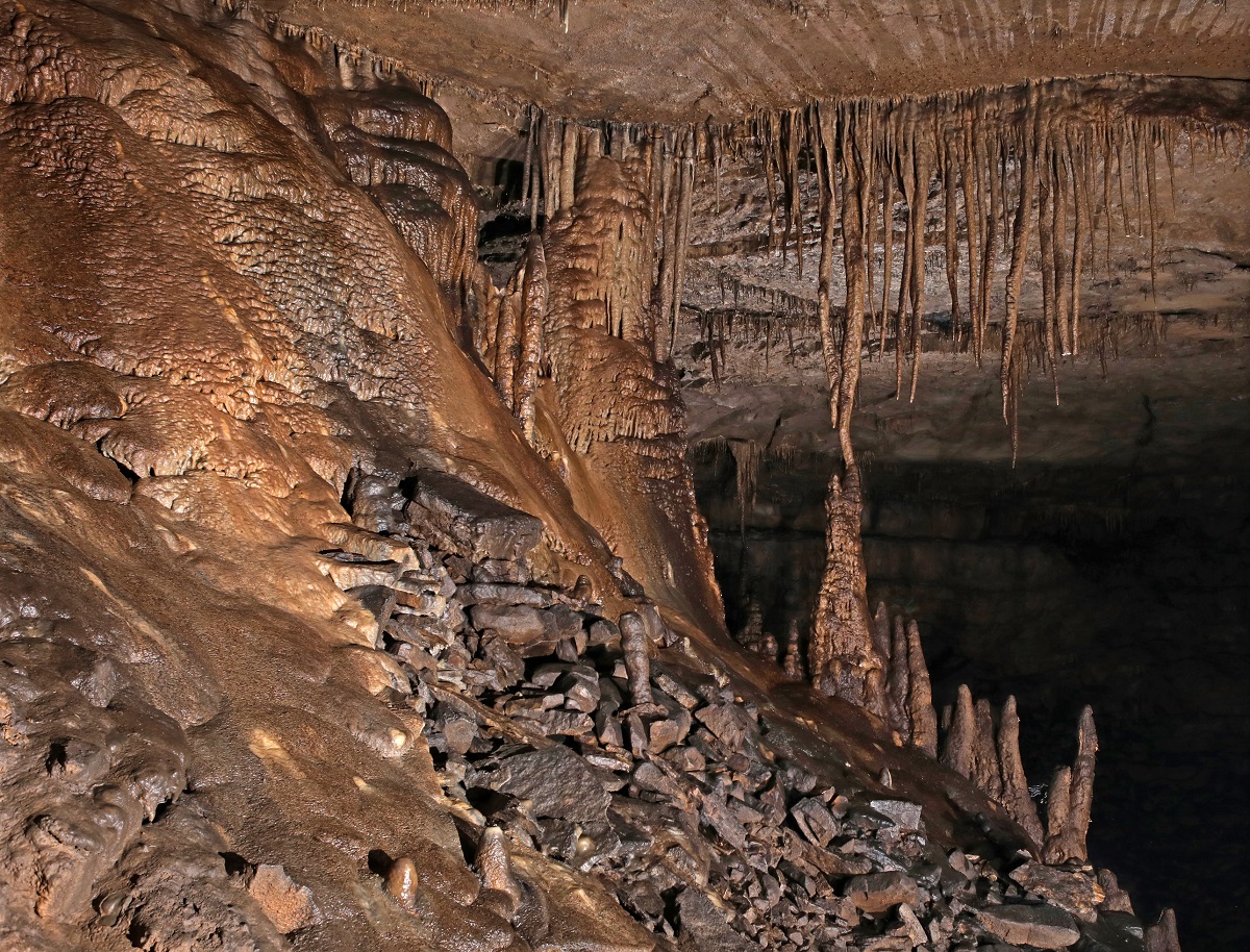
#3: Lechuguilla Cave, New Mexico
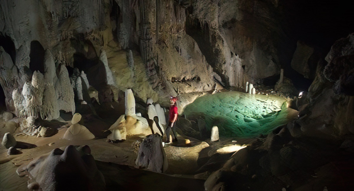
Once considered insignificant with just a 90-foot entrance pit, Lechuguilla Cave’s true magnitude was unearthed in 1986, revealing over 138 miles of passages filled with remarkable gypsum and aragonite crystals. The cave’s “Chandelier Ballroom” houses giant gypsum chandeliers, some of the largest formations of their kind in the world. In addition to its geological wonders, Lechuguilla serves as a pristine laboratory for studying microbes adapted to life in extreme conditions, potentially offering clues to life on other planets. Unfortunately, this wondrous site remains closed to the public to preserve its delicate ecosystems and crystal formations. (Carlsbad Caverns National Park, New Mexico)
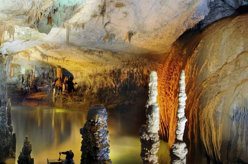
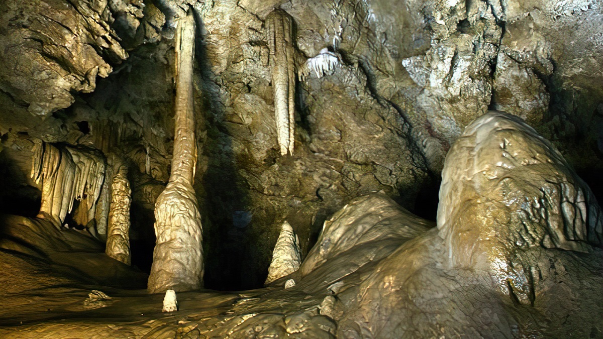
#4: Luray Caverns, Virginia
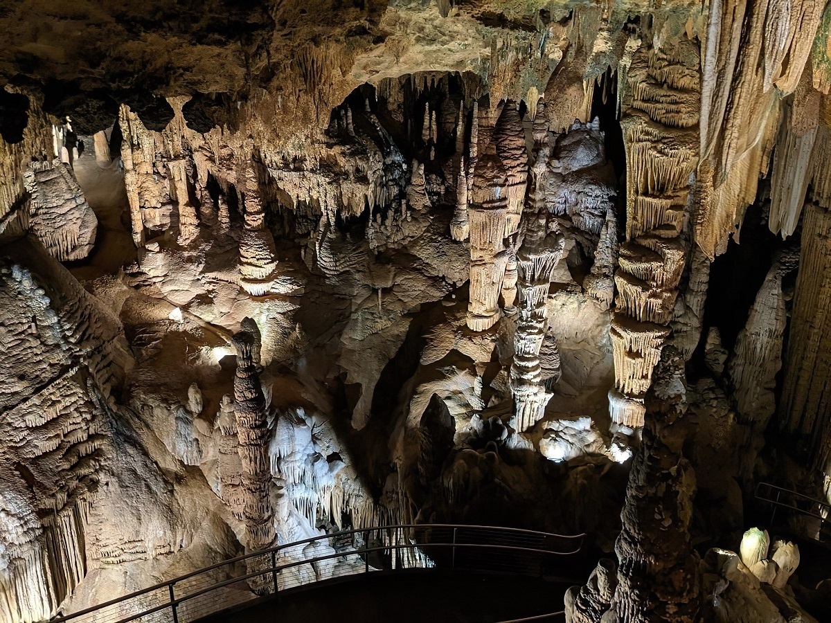
Nestled in the Shenandoah Valley, Luray Caverns was stumbled upon by a tinsmith and local photographer in 1878. This subterranean marvel showcases towering stalactites, stalagmites, and flowstone cascades, with the eerily harmonious sounds of the Great Stalacpipe Organ echoing through its chambers. The Organ is a lithophone that produces musical tones by striking stalactites of various sizes. The “Saracen’s Tent,” a drapery formation that looks remarkably like folded fabric, is one of the most well-formed drapery structures globally and a visitor’s favorite. (101 Cave Hill Road, Luray, VA 22835)
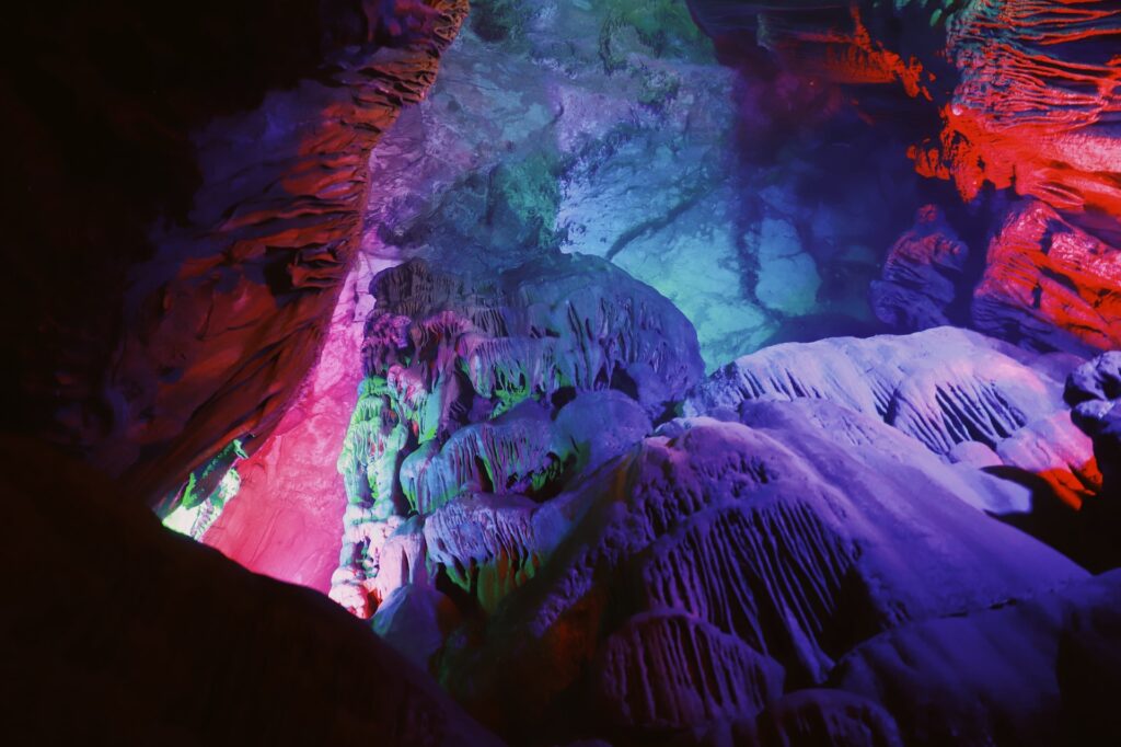
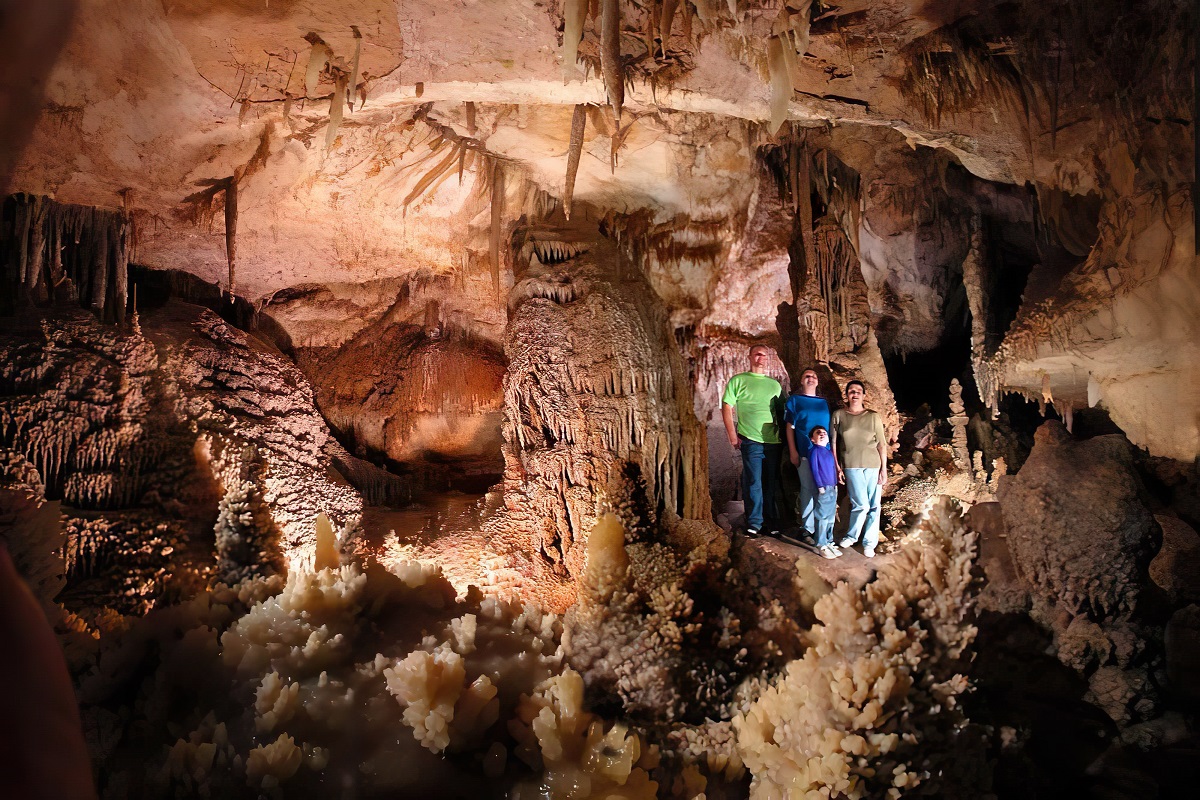
#5: Kartchner Caverns, Arizona
Discovered by local cavers in 1974, the existence of Kartchner Caverns was kept a secret for 14 years to protect its pristine conditions before becoming a state park. It’s home to world-class features, including an extraordinary 21-foot soda straw stalactite and the tallest and most massive column in Arizona, named Kubla Khan. The Throne Room unveils a mesmerizing scene, with a ground covered in a deep layer of calcite crystals that shimmer under the soft light. (2980 AZ-90, Benson, AZ 85602)
#6: Jewel Cave, South Dakota
With over 200 miles of mapped passageways, Jewel Cave is the third-longest cave globally. The cave was discovered in 1900 when brothers Frank and Albert Michaud heard a whistling noise from a small hole, which turned out to be air escaping from the cave. Its interiors glisten with calcite crystals that lend the cave its name. Other unique formations include ribbon draperies, cave bacon, and even a rare hydromagnesite balloon. (11149 US-16 B-12, Custer, SD 57730)
.
#7: Wind Cave, South Dakota
Discovered by brothers Jesse and Tom Bingham in 1881, Wind Cave is known for its intricate boxwork formations, a honeycomb-like pattern formed from thin blades of calcite. It was the air whistling out from a small hole (the cave’s natural entrance) that drew the Binghams towards this subterranean wonder. The cave’s ‘Fairgrounds’ area is a visitor favorite, boasting a mix of diverse formations, including popcorn, frostwork, and boxwork. (26611 US Highway 385, Hot Springs, SD 57747)
#8: Oregon Caves, Oregon
Beneath the ancient forests of the Siskiyou Mountains lie the Oregon Caves, formed from dissolved marble over millennia. This was first discovered by Elijah Davidson in 1874, following his dog Bruno, who had chased an animal into the cave’s entrance. Known as the “Marble Halls of Oregon,” the cave’s walls shimmer with crystalline deposits, and its passages hide fascinating formations, including cave coral, shields, and the rare cave drapery called “angel’s wings.” (19000 Caves Highway, Cave Junction, OR 97523)
#9: Caverns of Sonora, Texas
The Caverns of Sonora, discovered in the early 20th century, are known for their stunning array of calcite crystal formations. The “butterfly,” a formation created from two fishtail helictites sharing the same attachment point, is so unique that it appears in the logo of the National Speleological Society. These formations’ density and complexity in the cave have earned it the designation of a National Natural Landmark. (1711 PR 4468, Sonora, TX 76950)
#10: Crystal Cave, Sequoia National Park, California
Hidden in the slopes of the Sequoia National Park, Crystal Cave was discovered in 1918 and is a fine example of a marble karst cave. The cave’s beauty extends beyond its dazzling array of stalactites, stalagmites, and curtains to include the sparkling stream flowing through it. You can witness unique formations such as the “Organ Room” and the “Upside-Down City” within this gleaming underground gem. (47050 Generals Highway, Three Rivers, CA 93271)