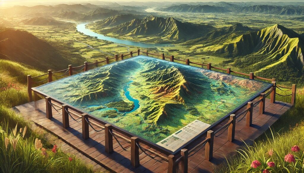
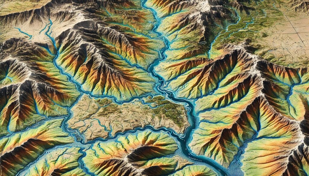
Watersheds are nature’s intricate water channels, sprawling across vast landscapes, collecting and guiding water through complex networks of rivers, streams, and tributaries. These natural systems not only shape the land but also sustain ecosystems, agriculture, and human life. Maps of watersheds serve as detailed guides, allowing us to visualize the flow of water, understand the relationships between rivers, and predict how water will move across the terrain. These maps bring clarity to an otherwise abstract concept, showing us where water collects, where it floods, and where it nourishes the land. Whether it’s a simple, hand-drawn map from centuries past or a modern, data-rich digital map, these cartographic tools are essential for managing water resources, planning infrastructure, and conserving ecosystems. Watershed maps also help us understand the impact of human activities, such as urbanization, farming, and deforestation, on the natural flow of water. By studying these maps, we can trace the water’s journey from mountain peaks, across valleys and plains, into oceans, and gain insight into how water’s path has influenced the development of societies and ecosystems. They serve not only as practical tools for resource management but also as reminders of the delicate balance between nature and humanity.

Watersheds are vast, interconnected areas of land where water from precipitation, rivers, and streams drain into a common outlet, such as an ocean or lake. These watersheds play a crucial role in shaping the environment, supporting ecosystems, and providing water for agricultural, industrial, and recreational purposes. North America, with its diverse geography, is home to some of the largest and most significant watersheds in the world. These vast drainage systems have shaped the landscape for millennia and continue to be a vital part of the continent’s environmental, economic, and cultural fabric. Below is a list of the top 10 largest watersheds in North America, highlighting their size, history, and importance.
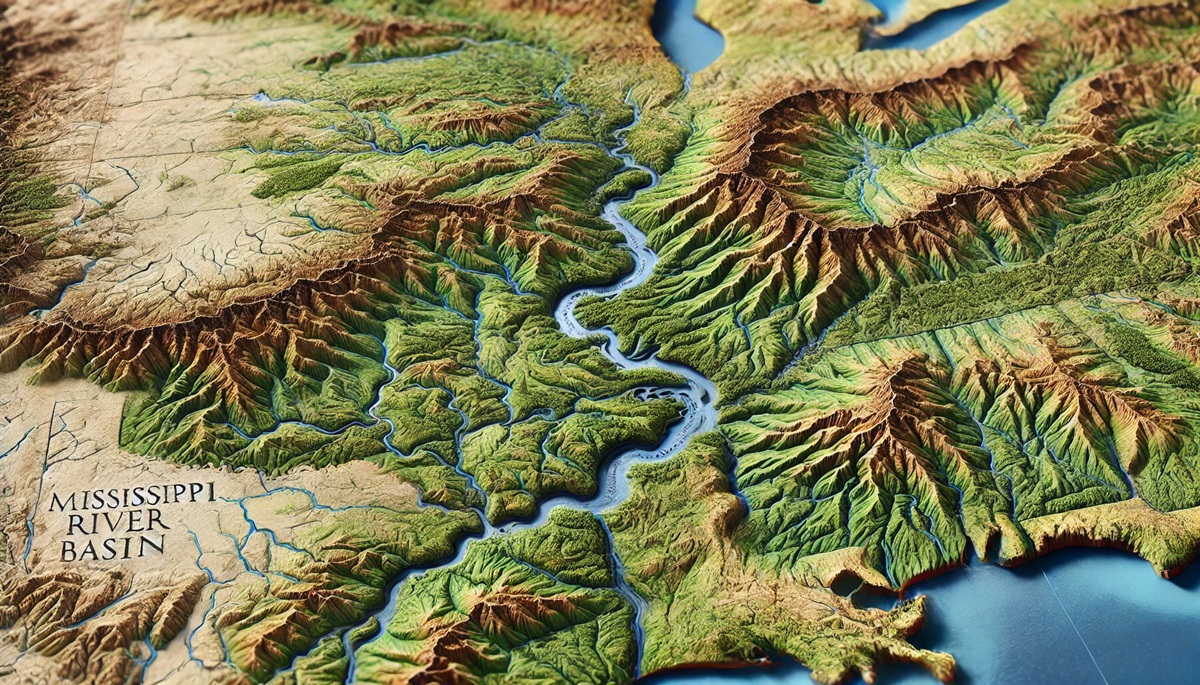
#1: The Mississippi River Basin, 1,150,000 Square Miles
The Mississippi River Basin is the largest watershed in North America, covering approximately 1,150,000 square miles. It spans across 31 U.S. states and two Canadian provinces, draining into the Gulf of Mexico. The Mississippi River, one of the longest rivers in the world, acts as the central waterway of the basin, with numerous tributaries like the Missouri, Ohio, and Arkansas rivers feeding into it. The Mississippi River Basin is critical to the agricultural and industrial economies of the United States, providing irrigation and transportation for goods like grain, coal, and petroleum. Historically, the Mississippi River has played a central role in the development of the U.S. economy and culture, serving as a vital trade route for indigenous peoples and European settlers. One interesting fact about the Mississippi River Basin is that it is home to the largest freshwater wetland in North America, the Mississippi Alluvial Plain. The basin is also known for its biodiversity, including numerous species of fish, birds, and mammals, many of which rely on the wetlands and floodplains for habitat. The basin faces significant challenges, including water pollution, habitat loss, and the impacts of climate change, prompting efforts for environmental conservation and sustainable water management.
#2: The Mackenzie River Basin, 695,000 Square Miles
The Mackenzie River Basin spans approximately 695,000 square miles and is the largest watershed in Canada. Located in the northern part of the country, it drains into the Arctic Ocean, making it one of the few major watersheds that do not flow into the Atlantic or Pacific oceans. The Mackenzie River, which runs through this basin, is the longest river in Canada, flowing from the Rocky Mountains in British Columbia to the Beaufort Sea in the Arctic Ocean. The basin is known for its remote and pristine landscapes, including boreal forests, wetlands, and tundra, which provide a unique habitat for wildlife such as caribou, polar bears, and migratory birds. One interesting fact about the Mackenzie River Basin is that it is home to the Great Slave Lake, the deepest lake in North America. The region is sparsely populated, with indigenous peoples like the Dene and Inuit communities relying on the river for transportation and sustenance. The Mackenzie River Basin is also a significant source of freshwater, but it faces challenges from climate change, which is causing melting permafrost and altering the flow of rivers.
#3: The Rio Grande Basin, 336,000 Square Miles
The Rio Grande Basin spans 336,000 square miles and stretches across parts of the United States and Mexico. The Rio Grande River, which is the primary waterway of the basin, flows from the Rocky Mountains in Colorado, along the U.S.-Mexico border, and into the Gulf of Mexico. The basin is an important source of water for both countries, providing irrigation for agriculture, especially in the arid regions of southern Texas and northern Mexico. The Rio Grande Basin is home to several major cities, including El Paso, Texas, and Ciudad Juárez, Mexico, and has been a focal point of human settlement for centuries. Historically, the river has served as a natural border between the U.S. and Mexico, and it has played a central role in the development of trade and agriculture in the region. One interesting fact about the Rio Grande Basin is that it is a critical water source in an otherwise desert-like landscape, with much of its water used for irrigating crops like cotton, pecans, and vegetables. The basin is also known for its unique ecosystems, including the Rio Grande Valley, which is a hotspot for biodiversity, including several endangered species of birds and fish. However, the river faces challenges from over-extraction of water, pollution, and climate change, which has led to declining water levels and disputes over water rights between the U.S. and Mexico.
#4: The Columbia River Basin, 258,000 Square Miles
The Columbia River Basin spans 258,000 square miles and is located in the Pacific Northwest, draining parts of Washington, Oregon, Idaho, and Canada. The Columbia River, one of the largest rivers in North America, is the central waterway of the basin, flowing from the Rocky Mountains in Canada to the Pacific Ocean. The basin is a critical water source for the region, providing water for agriculture, hydroelectric power generation, and transportation. The Columbia River is home to several major dams, including the Grand Coulee Dam, which is one of the largest concrete structures in the U.S. and provides electricity to millions of people. The basin is also known for its rich biodiversity, with salmon being one of the most iconic species of the region. Salmon populations in the Columbia River Basin have been severely impacted by the construction of dams and water pollution, prompting efforts for fish restoration and habitat preservation. The Columbia River Basin is also a significant cultural resource, with indigenous peoples in the region relying on the river for sustenance and cultural practices for thousands of years.
#5: The Yukon River Basin, 330,000 Square Miles
The Yukon River Basin covers 330,000 square miles, with the river itself flowing from the mountainous regions of British Columbia in Canada to the Bering Sea in Alaska. The Yukon River is the longest river in Alaska, and its basin is home to some of the most pristine wilderness in North America, with rugged mountains, vast forests, and tundra. The river has been a vital water source for the indigenous peoples of the region for centuries, providing access to fish, transportation, and trade routes. The Yukon River also played a significant role during the Klondike Gold Rush in the late 19th century, with prospectors using the river to transport goods and people to the goldfields. Today, the Yukon River Basin remains a critical water source for communities in Alaska and Canada, though it faces challenges from climate change, which is affecting the region’s ecosystems and water levels. The basin is home to a variety of wildlife, including moose, bears, and migratory birds, and the river remains an important part of the local culture and economy.
#6: The St. Lawrence River Basin, 400,000 Square Miles
The St. Lawrence River Basin spans 400,000 square miles, draining parts of Canada and the northeastern United States. The St. Lawrence River, which is one of the longest rivers in North America, flows from Lake Ontario to the Gulf of St. Lawrence, serving as a vital waterway for both commercial and recreational shipping. The basin is home to several major cities, including Montreal and Quebec City, and has been a crucial trade route for centuries. Historically, the St. Lawrence River Basin was central to the fur trade and the expansion of European settlers in North America. Today, the river remains one of the busiest shipping routes in the world, with cargo such as oil, coal, and grain being transported along its waters. The basin is also known for its biodiversity, with fish species like salmon and sturgeon relying on the river for spawning. However, the river and its ecosystems face challenges from pollution, invasive species, and climate change, prompting efforts for conservation and sustainable water management.
#7: The Hudson Bay Basin, 1,230,000 Square Miles
The Hudson Bay Basin, covering 1,230,000 square miles, is the second-largest drainage basin in Canada and drains into Hudson Bay. It spans across several provinces, including Ontario, Manitoba, Quebec, and parts of the Northwest Territories. The basin includes several major rivers, including the Churchill River and the Nelson River, which flow into Hudson Bay. This basin is critical for supporting wildlife, including polar bears, caribou, and migratory birds, many of which rely on the wetlands and tundra for breeding and feeding. The basin is also home to several indigenous communities, who have relied on the region’s natural resources for millennia. The Hudson Bay Basin is one of the least populated regions of Canada, with vast expanses of wilderness and few human settlements. However, its ecosystems are under pressure from the effects of climate change, particularly the melting of Arctic sea ice, which affects the region’s wildlife and coastal areas.
#8: The Saskatchewan River Basin, 140,000 Square Miles
The Saskatchewan River Basin spans approximately 140,000 square miles and is located in Canada, draining parts of Alberta, Saskatchewan, and Manitoba. The Saskatchewan River system consists of two main branches, the North Saskatchewan and South Saskatchewan rivers, which converge to form the Saskatchewan River, flowing into Lake Winnipeg. The basin is an important water source for the region, supporting agricultural production, particularly in Saskatchewan, where crops like wheat and canola are grown. The river is also a vital resource for hydropower generation, with several dams providing electricity to the surrounding areas. The Saskatchewan River Basin is known for its scenic beauty, including the prairies, forests, and wetlands that line its banks. Historically, the river was a major trade route for indigenous peoples and European settlers, and it played a key role in the fur trade. The river remains important for both transportation and recreation, though it faces challenges from pollution, water management, and the effects of climate change.
#9: The Colorado River Basin, 246,000 Square Miles
The Colorado River Basin covers 246,000 square miles and is located in the southwestern United States. The Colorado River flows through seven states, including Colorado, Utah, Arizona, Nevada, New Mexico, Wyoming, and California, and it provides water to over 40 million people. The river is a crucial resource for irrigation, providing water to desert regions that would otherwise be inhospitable. The Colorado River also powers hydroelectric plants, such as the Hoover Dam, which provide electricity to millions. However, the river has been overused and over-allocated for decades, leading to water shortages and disputes between the states that rely on it. The basin is also home to the Grand Canyon, one of the most iconic landscapes in the world, and its waters support a wide variety of wildlife, including fish, birds, and mammals. Despite the challenges it faces, the Colorado River remains a vital lifeline for the southwestern United States.
#10: The Red River Basin, 24,000 Square Miles
The Red River Basin, covering approximately 24,000 square miles, spans parts of Texas, Oklahoma, Arkansas, and Louisiana. The Red River flows from the Texas Panhandle into the Mississippi River, providing a vital water source for the agricultural communities along its path. The basin is home to several major cities, including Oklahoma City and Shreveport, and has played a significant role in the development of the region. One of the most famous events in the history of the Red River Basin was the Great Red River Flood of 1949, which caused extensive damage to homes and infrastructure. The Red River is known for its role in supporting cotton and rice production in the region, though it also faces challenges from flooding, pollution, and water management. Despite these challenges, the Red River Basin remains a vital resource for the southern United States.
The top 10 largest watersheds in North America showcase the immense scale and significance of these natural systems, which are essential for sustaining life and regulating water flow across the continent. These basins not only provide water for drinking, agriculture, and industry but also support a vast array of ecosystems and wildlife. Protecting these watersheds is critical for the health of our planet, and sustainable management practices will be key to ensuring their survival for future generations.