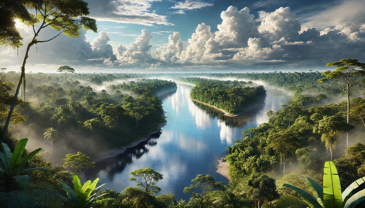
The Amazon River, one of the most majestic and vital waterways on the planet, is a natural wonder teeming with life, history, and mystery. Stretching thousands of miles through South America, the river supports an intricate ecosystem and influences cultures, economies, and environments across the region. With its vast size and diverse significance, the Amazon holds numerous fascinating facts that capture the imagination of explorers, scientists, and nature enthusiasts alike. Here, we dive into the top ten facts about the Amazon River, uncovering its immense size, ecological richness, and historical and cultural significance.
#1: Length – 4,345 Miles
The Amazon River stretches an incredible 4,345 miles, making it the second-longest river in the world, just behind the Nile. Its journey begins high in the Andes Mountains of Peru and winds through Colombia and Brazil before emptying into the Atlantic Ocean. This vast length has made it a subject of contention among geographers for centuries, as its exact source and length have been debated and re-measured numerous times. The river’s expansive journey through diverse terrains showcases an unparalleled ecological variety. Anecdotes of early explorers marveling at its size tell of their awe as they encountered a seemingly endless expanse of water and wildlife.
One particularly interesting historical debate involves its comparison with the Nile. In recent years, satellite technology and geological studies have reignited discussions, with some arguing that the Amazon could claim the title of the world’s longest river, depending on its starting point. This debate mirrors humanity’s enduring fascination with measuring and understanding the natural world. Along its length, indigenous communities have relied on the river as a lifeline for thousands of years, crafting myths and legends around its seemingly infinite waters.
#2: Width – Up to 120 Miles in Flood Season
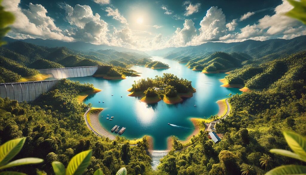
During the rainy season, the Amazon River can expand up to an astonishing 120 miles wide in some places, creating a sea-like expanse of water. This phenomenon occurs as the river overflows into the surrounding floodplains, submerging forests and creating temporary wetlands. These seasonal floods play a crucial role in replenishing the soil and sustaining the region’s biodiversity. Fishermen and locals adapt their lives around this immense expansion, using unique boats and fishing techniques suited for the floodwaters.
One captivating anecdote describes a group of biologists who, during a particularly intense rainy season, discovered a new species of fish swimming in the treetops of the submerged forest. This illustrates the interconnectedness of land and water in the Amazon’s ecosystem. The width of the river has also inspired legends of mythical creatures, such as giant serpents, which are said to inhabit its depths during these high-water periods.
#3: Volume – 7.7 Million Cubic Feet Per Second
The Amazon discharges an astonishing 7.7 million cubic feet of water per second into the Atlantic Ocean, more than the next seven largest rivers combined. This immense volume influences ocean currents and creates a plume of freshwater that extends hundreds of miles into the Atlantic. The river’s discharge is so powerful that it dilutes the salinity of the ocean, affecting marine ecosystems far beyond its shores. Historical records describe early mariners encountering freshwater in the ocean long before sighting land, a witness to the Amazon’s incredible force.
The sheer volume of water supports unparalleled biodiversity, with countless species relying on the river’s flow for survival. Indigenous myths often portray the river as a living entity with the power to shape the world around it. Scientists studying the river’s volume have uncovered insights into climate change and hydrological cycles, underscoring its global importance.
#4: Drainage Basin – 2.7 Million Square Miles
The Amazon River basin spans an impressive 2.7 million square miles, covering about 40% of South America. This vast area includes parts of nine countries and supports the largest tropical rainforest on Earth. The basin’s size contributes to its immense biodiversity, with species ranging from jaguars and pink river dolphins to countless insects and plants. The region’s indigenous cultures, numbering in the hundreds, have adapted to the basin’s unique challenges and opportunities, living in harmony with its natural rhythms.
Historical accounts of early explorers navigating the basin describe encounters with dense, impenetrable forests teeming with life. These accounts sparked the imagination of scientists and adventurers alike, leading to the discovery of countless new species over the centuries. The basin’s role in regulating the planet’s climate further emphasizes its importance, as it absorbs vast amounts of carbon dioxide and generates oxygen.
#5: Biodiversity – Over 3,000 Fish Species
The Amazon River is home to over 3,000 species of fish, with new species still being discovered regularly. This incredible biodiversity makes the Amazon a paradise for ichthyologists and a vital resource for local communities who depend on fishing for their livelihoods. Among its most famous inhabitants are the piranha and the electric eel, both of which have inspired countless myths and stories.
Local legends often paint piranhas as fearsome predators, capable of stripping an animal to the bone in seconds. While exaggerated, these tales highlight the respect and caution with which locals approach the river’s wildlife. Scientists studying the river’s fish populations have gained valuable insights into evolutionary biology and the dynamics of aquatic ecosystems, further cementing the Amazon’s reputation as a natural wonder.
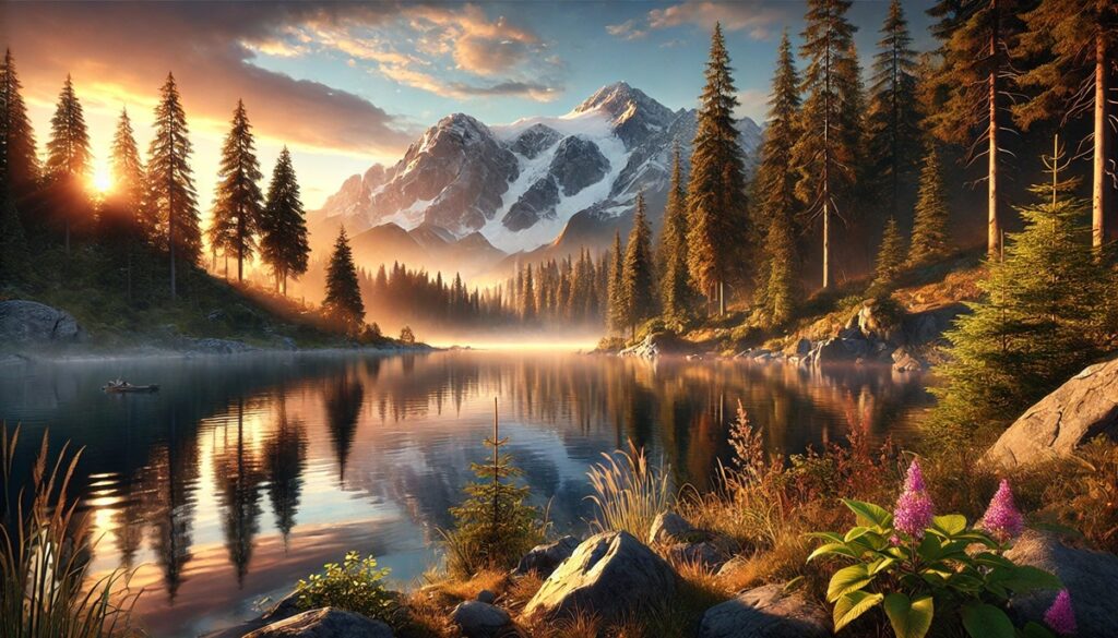
#6: Source – Nevado Mismi, Peru
The Amazon River’s source is traced to the Nevado Mismi peak in the Andes Mountains of Peru, standing at over 18,000 feet above sea level. This unassuming mountain serves as the origin of a river that will later become the most voluminous in the world. Explorers and scientists have long sought to pinpoint the river’s true source, with early theories often placing it elsewhere. Modern mapping and hydrological studies have confirmed Nevado Mismi as the starting point of this incredible journey.
Anecdotes from local communities describe rituals and ceremonies held at the source, honoring the river’s role as a life-giving force. The journey of the river from such humble beginnings to its monumental size highlights the interconnectedness of ecosystems and the transformative power of water. The history of exploration at the source is filled with tales of perseverance and discovery, showcasing humanity’s enduring curiosity about the natural world.
#7: Forest – The Amazon Rainforest
The Amazon Rainforest, often called the “lungs of the Earth,” is intrinsically linked to the river that flows through it. Covering over 2 million square miles, the rainforest is the largest tropical forest in the world. Its dense canopy and diverse flora and fauna rely on the river for sustenance, creating a symbiotic relationship that sustains both the river and the forest.
Indigenous communities have lived in harmony with the forest for millennia, utilizing its resources sustainably and preserving its biodiversity. Tales of explorers venturing into the forest describe encounters with vibrant wildlife and towering trees, underscoring the rainforest’s otherworldly beauty. The forest’s role in global carbon storage and oxygen production highlights its importance not only to the Amazon region but to the entire planet.
#8: Pink River Dolphins
The Amazon River is home to the enchanting pink river dolphin, also known as the boto. These unique creatures are among the largest freshwater dolphins in the world, reaching up to 9 feet in length. Their pink coloration, which intensifies with age, has inspired myths and legends among local communities, who often regard them as magical beings.
One popular legend tells of botos transforming into handsome men to attend village celebrations, a story that reflects the deep cultural connection between the river and its inhabitants. Scientists studying these dolphins have uncovered fascinating behaviors, such as their use of echolocation and social structures, further emphasizing the complexity of the Amazon’s ecosystem.
#9: Man’s Influence – The Manaus Port
Manaus, a bustling city on the Amazon River, serves as a major port and gateway to the rainforest. The city’s location at the heart of the Amazon Basin has made it a hub for trade, culture, and exploration. Historical accounts describe Manaus as a thriving center during the rubber boom of the late 19th and early 20th centuries, a period that brought both prosperity and exploitation to the region.
The port of Manaus remains a critical link between the Amazon’s remote interior and the outside world, supporting the transport of goods and people. The city’s rich history and cultural diversity reflect the dynamic interplay between humanity and the natural world along the river’s course.
#10: Meeting of Waters
One of the Amazon River’s most striking phenomena is the “Meeting of Waters” near Manaus, where the dark waters of the Rio Negro converge with the sandy-colored waters of the Amazon River. The two rivers flow side by side for miles without mixing, creating a dramatic visual contrast. This phenomenon is caused by differences in temperature, density, and flow speed between the two rivers.
Visitors to the area are often awestruck by the spectacle, which has become a popular tourist attraction. The Meeting of Waters symbolizes the diversity and complexity of the Amazon’s hydrological systems, serving as a reminder of the natural wonders that make this river one of the most extraordinary on Earth.
The Amazon River, with its extraordinary size, ecological importance, and cultural significance, remains one of the most awe-inspiring natural wonders on Earth. From its staggering length and width to its unparalleled biodiversity and historical impact, the Amazon continues to captivate and inspire. Its story is a reminder of the planet’s incredible complexity and the need to protect such vital ecosystems for future generations. As science and exploration uncover more about this majestic river, its legacy grows ever richer, ensuring its place as a symbol of life, resilience, and wonder.