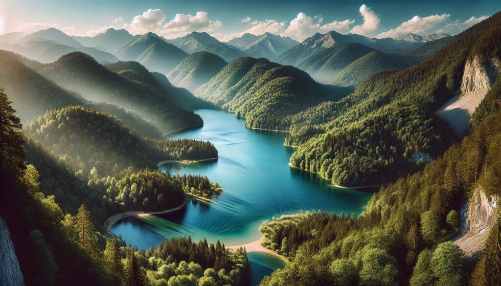
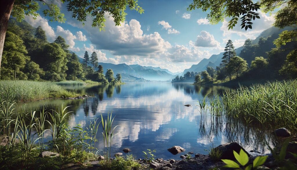
Lakes and maps share a timeless connection, each telling a story of discovery, adventure, and transformation. On a map, a lake is more than a blue splotch—it is a gateway to mysteries, histories, and ecosystems waiting to be explored. Lakes often form the heart of landscapes, their shimmering waters carving paths through time and geography. Maps capture their changing outlines, revealing shorelines that shift with seasons or centuries of human intervention. The journey of tracing a lake on a map ignites curiosity: What lies beneath those tranquil depths? What cultures and creatures have thrived along its banks? Maps immortalize lakes as both natural wonders and human achievements, such as massive artificial reservoirs that transformed deserts into lifelines. They guide us to serene retreats and bustling hubs, showing how lakes connect and divide, nourish and inspire. A map whispers to the dreamer in us all, pointing to the glittering promise of a lake somewhere—an oasis of reflection and a canvas for adventure.

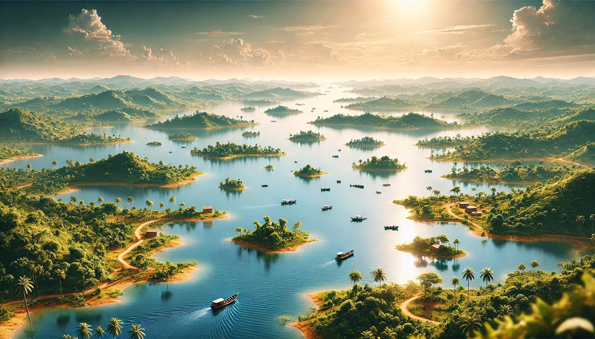
Artificial lakes are remarkable human-made creations, providing resources for agriculture, drinking water, power generation, and recreation. These massive reservoirs are integral to the regions they serve, often becoming iconic landmarks due to their size and importance. Here are the ten largest artificial lakes in the world, ranked by their surface area, with fascinating stories and facts about each.
#1: Lake Volta (3,275 Square Miles)
Lake Volta in Ghana is the largest artificial lake in the world, covering an astonishing 3,275 square miles. Created by the Akosombo Dam in 1965, it spans a significant portion of the Volta River basin and supports Ghana’s hydroelectric power needs. The lake displaced numerous communities, necessitating the resettlement of nearly 80,000 people. Beyond power generation, Lake Volta is vital for fishing and agriculture, sustaining countless livelihoods. The underwater forests preserved in its depths have become a resource for unique logging operations. Locals often share folklore about spirits inhabiting the lake, enhancing its cultural mystique for visitors and residents alike.
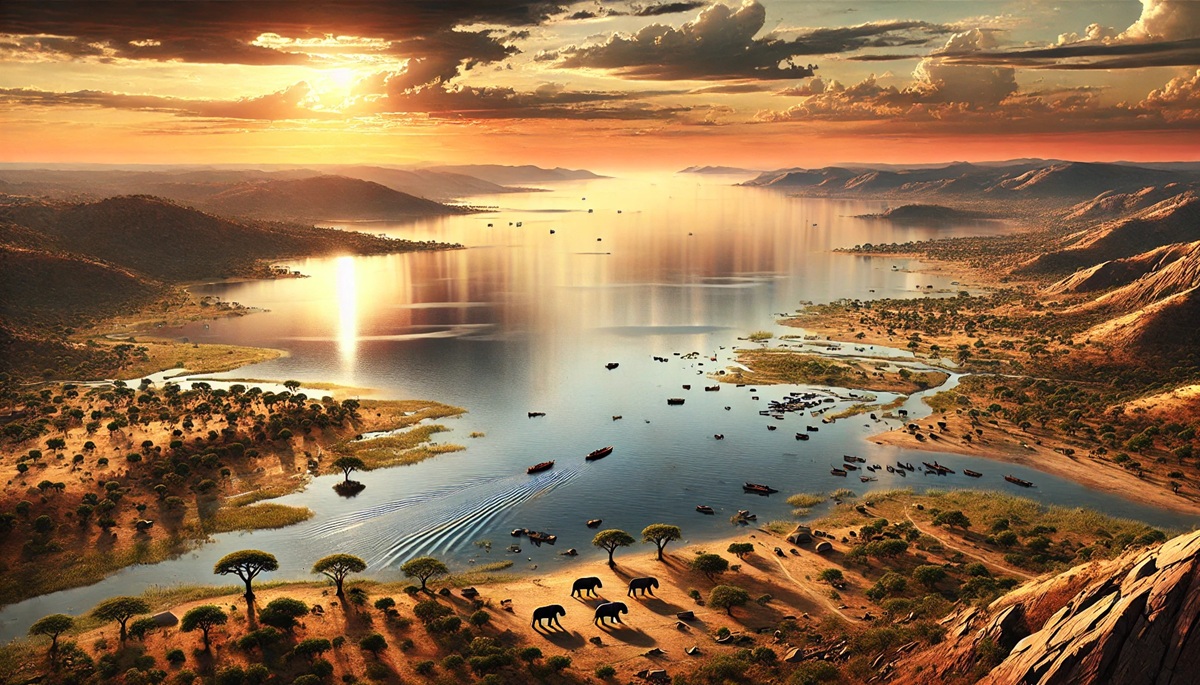
#2: Lake Kariba (2,150 Square Miles)
Straddling the border of Zambia and Zimbabwe, Lake Kariba covers 2,150 square miles and is one of Africa’s most iconic artificial lakes. It was created in 1959 with the construction of the Kariba Dam on the Zambezi River. The project displaced the Tonga people, whose spiritual connection to the river is immortalized in local legends about the river god Nyaminyami. Lake Kariba generates hydroelectric power for both countries and supports a thriving fishery. Its scenic beauty and abundance of wildlife, including hippos and crocodiles, make it a prime destination for safari-goers and fishing enthusiasts.
#3: Bratsk Reservoir (2,050 Square Miles)
Located in Siberia, Russia, the Bratsk Reservoir spans 2,050 square miles, making it one of the largest artificial lakes in the world. It was completed in 1967 as part of the Bratsk Hydroelectric Station, a monumental achievement during the Soviet era. This lake’s remote location in the taiga gives it an otherworldly beauty, especially during winter when it transforms into a frozen expanse. It plays a critical role in energy production and water supply. Despite its harsh environment, the reservoir supports local fisheries and communities reliant on its resources.
#4: Lake Guri (1,640 Square Miles)
Lake Guri in Venezuela, covering 1,640 square miles, was formed by the Guri Dam on the Caroní River. Completed in 1986, it is crucial for hydroelectric power, providing a significant portion of Venezuela’s energy. The lake’s creation flooded vast tracts of forest, leading to the formation of unique islands with isolated ecosystems, known as “tepuis.” These islands harbor rare flora and fauna, making the lake an ecological hotspot. Visitors are often struck by the striking contrast between the modern dam infrastructure and the surrounding natural beauty.
#5: Lake Nasser (1,550 Square Miles)
Lake Nasser, stretching across Egypt and Sudan, covers 1,550 square miles and was created by the construction of the Aswan High Dam in the 1960s. The lake was named after Egyptian President Gamal Abdel Nasser and is essential for controlling Nile River floods, irrigation, and electricity generation. However, its creation submerged many ancient sites, necessitating massive international efforts to relocate monuments like Abu Simbel. Today, the lake is a hub for fishing and tourism, with Nile cruises offering breathtaking views of its vast expanse.
#6: Williston Lake (1,468 Square Miles)
Williston Lake, located in British Columbia, Canada, spans 1,468 square miles and was formed by the construction of the W.A.C. Bennett Dam in 1968. It is a cornerstone of British Columbia’s hydroelectric system. The lake’s rugged surroundings are a paradise for outdoor enthusiasts, offering opportunities for fishing, hiking, and wildlife spotting. Its waters are particularly rich in fish species, making it a favorite among anglers. Despite its scenic allure, the lake’s creation displaced several Indigenous communities, whose stories are an integral part of its history.
#7: Krasnoyarsk Reservoir (1,560 Square Miles)
Another Siberian giant, the Krasnoyarsk Reservoir, also known as the Yenisei Reservoir, covers 1,560 square miles. It was created by the Krasnoyarsk Dam, completed in 1972, on the Yenisei River. The reservoir is a marvel of engineering and a key component of Russia’s hydroelectric power infrastructure. Its turquoise waters and surrounding boreal forests make it a breathtaking destination. The harsh Siberian climate gives the reservoir an ethereal beauty, especially when it freezes over in the winter months.
#8: Lake Powell (1,351 Square Miles)
Lake Powell, straddling the borders of Utah and Arizona in the United States, covers 1,351 square miles. It was formed by the Glen Canyon Dam in 1963 and is part of the Colorado River storage project. Known for its striking red rock landscapes and iconic landmarks like Rainbow Bridge, Lake Powell is a recreational haven for boating, fishing, and hiking. Its fluctuating water levels, a result of droughts and increasing water demands, have sparked debates about its sustainability and environmental impact.
#9: Rybinsk Reservoir (1,060 Square Miles)
The Rybinsk Reservoir in Russia, spanning 1,060 square miles, was created in the 1940s by damming the Volga and Sheksna rivers. Once the largest artificial lake in the world, it remains an engineering marvel. The reservoir supports irrigation, navigation, and hydroelectric power, playing a critical role in the Volga basin’s economy. Its vast waters and surrounding wetlands are home to diverse wildlife, making it a vital habitat for birds and fish. Despite its utilitarian purpose, it offers picturesque views that attract nature enthusiasts.
#10: Fort Peck Lake (920 Square Miles)
Fort Peck Lake in Montana, USA, covers 920 square miles and was formed by the construction of the Fort Peck Dam on the Missouri River during the 1930s. Built as part of a New Deal project, the dam provided much-needed jobs during the Great Depression. The lake is now a hub for recreational activities, including fishing, camping, and boating. Its rugged shoreline and surrounding prairie landscapes are a witness to the grandeur of the American West. Fort Peck Lake’s history is intertwined with stories of resilience and innovation, making it a symbol of perseverance.
These incredible lakes showcase the ingenuity of human engineering and the diverse ways people interact with their environments. From powering nations to preserving ecosystems and providing recreational opportunities, each lake holds a unique place in the world’s history and geography.