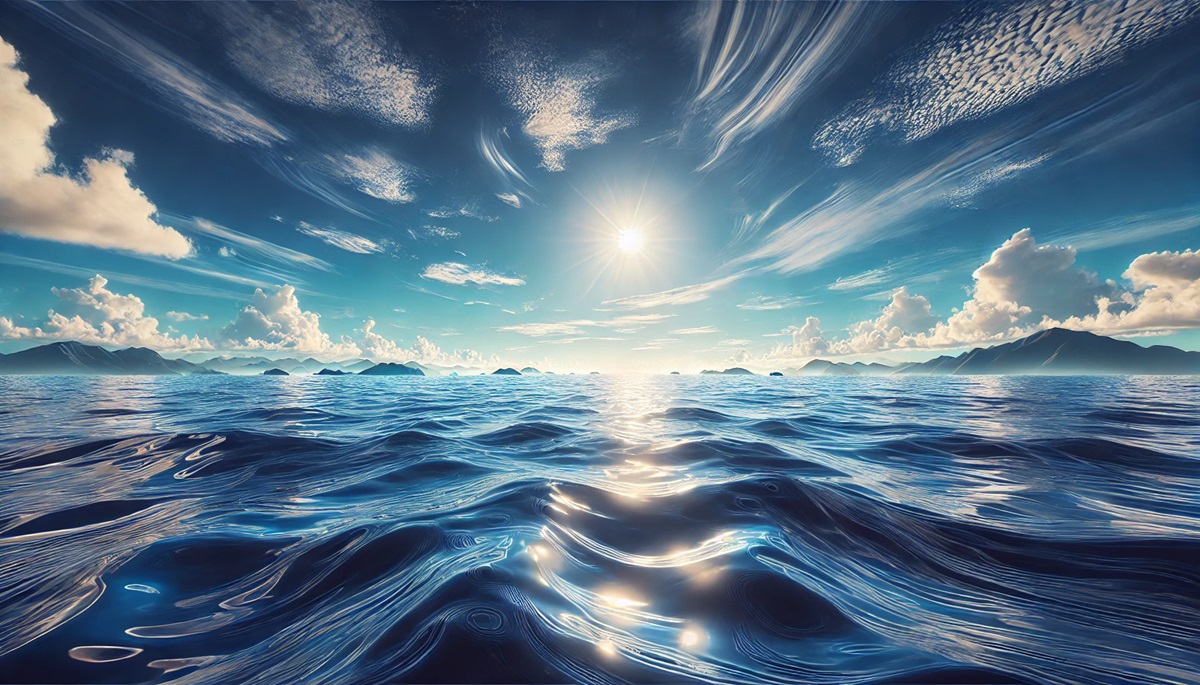
The world’s oceans are vast, mysterious, and vital to life on Earth. Covering over 70% of the planet’s surface, these immense bodies of water are home to rich ecosystems, incredible biodiversity, and a wealth of history. Each ocean is unique, with its size, depth, and features telling a story of Earth’s natural wonders and human exploration. Here are the top 5 largest oceans in the world, ranked by size.
#1: Pacific Ocean – 36,200 feet
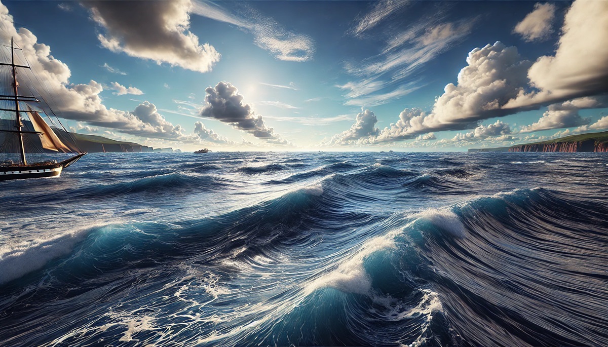
The Pacific Ocean is the largest and deepest ocean on Earth, covering approximately 63 million square miles and plunging to a staggering depth of 36,200 feet at the Mariana Trench. It stretches from the Arctic in the north to the Southern Ocean in the south and from Asia to the Americas. This immense body of water is home to over 25,000 islands, more than any other ocean.
The Pacific Ocean has played a crucial role in human history, from the ancient Polynesian navigators who charted its waters to the age of European exploration. Its vast expanse includes wonders like the Great Barrier Reef, the world’s largest coral reef system. The Pacific is also known for its Ring of Fire, a chain of volcanic activity encircling the ocean. Stories of mariners lost at sea and legends of mythical creatures add to its mystique.
#2: Atlantic Ocean – 27,841 feet
The Atlantic Ocean is the second-largest ocean, covering about 41 million square miles with a maximum depth of 27,841 feet at the Puerto Rico Trench. It connects the Americas, Europe, and Africa, acting as a vital corridor for trade and exploration throughout history. Its waters are divided by the Mid-Atlantic Ridge, a massive underwater mountain range.
The Atlantic’s history is rich with tales of exploration, from Christopher Columbus’s voyages to the transatlantic slave trade. The Titanic’s tragic sinking in 1912 also occurred in its frigid waters. Its coasts are lined with major cities and ports, making it one of the most economically important oceans in the world. The mysterious Bermuda Triangle has fueled countless myths, adding to its allure.
#3: Indian Ocean – 24,442 feet
The Indian Ocean, the third-largest ocean, spans roughly 27 million square miles with a maximum depth of 24,442 feet at the Sunda Trench. It is bordered by Asia to the north, Africa to the west, and Australia to the east. This warm ocean plays a critical role in monsoon systems and global weather patterns.
The Indian Ocean is a treasure trove of history, from ancient trade routes connecting India, the Middle East, and Africa to the spice trade that fueled European exploration. Its waters are home to unique wildlife, including the endangered dugong and various species of sea turtles. Stories of pirate-infested waters and sunken treasure ships continue to capture imaginations.
#4: Southern Ocean – 23,740 feet
Encircling Antarctica, the Southern Ocean covers about 7.8 million square miles, making it the fourth-largest ocean. Its deepest point, the South Sandwich Trench, reaches 23,740 feet. Known for its frigid waters and powerful currents, the Southern Ocean plays a vital role in regulating the Earth’s climate by redistributing heat and absorbing carbon dioxide.
The Southern Ocean is home to incredible biodiversity, including seals, penguins, and whales. It has also been the site of numerous polar expeditions, such as Ernest Shackleton’s ill-fated Endurance mission. Its icy waters and towering icebergs create a dramatic and otherworldly landscape, attracting adventurers and scientists alike.
#5: Arctic Ocean – 18,050 feet
The Arctic Ocean, the smallest and shallowest of the world’s oceans, spans about 5.4 million square miles. Its deepest point, the Eurasian Basin, reaches 18,050 feet. Surrounded by North America, Europe, and Asia, this icy expanse is covered by sea ice for much of the year, creating a unique and fragile ecosystem.
The Arctic Ocean is home to polar bears, walruses, and other species adapted to its harsh environment. Its melting ice has opened new shipping routes and sparked debates over territorial claims and resource extraction. Tales of early Arctic explorers and the search for the Northwest Passage highlight its role in human history and exploration.
The world’s oceans are more than vast bodies of water; they are the lifeblood of our planet, shaping its climate, ecosystems, and cultures. From the immense Pacific to the icy Arctic, these oceans hold mysteries, beauty, and stories that continue to inspire awe and exploration. As we strive to protect these vital waters, they remind us of the interconnectedness of life and the power of nature.