Maps Glossary
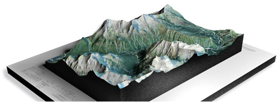
WhiteClouds builds 3D Raised Relief Maps
Did you know we make
3D raised-relief maps

and
3D raised-relief maps

Z-axis
The Z-axis is the vertical axis in a three-dimensional Cartesian coordinate system. It represents height or depth in relation to the X and Y axes. The Z-axis is essential in determining the elevation of points on a map or topographic model. When analyzing terrain, the Z-axis helps to show the varying heights of mountains, valleys, and other features.
Zenith
The Zenith is the point on the celestial sphere directly above an observer. It is the highest point in the sky relative to the observer’s position. The zenith is an important concept in astronomy, navigation, and surveying. In topography, the zenith is used to measure the angle between the observer and a distant point on the horizon.
Zeolite
Zeolites are a group of naturally occurring minerals that have a unique structure with pores and channels that allow them to selectively adsorb or filter certain molecules. They are commonly used as catalysts in the petrochemical industry, as ion exchangers in water treatment, and as soil conditioners in agriculture. Zeolites are often found in volcanic rocks and are sometimes used as a natural zeolite amendment to improve soil structure and water retention.
Zircon
Zircon is a mineral that is commonly used in jewelry and as a refractory material in high-temperature applications. It is a silicate mineral that typically contains traces of radioactive elements such as uranium and thorium, which can cause the mineral to undergo a process of radioactive decay. In topography, zircon is often found in the sands of rivers and beaches, and its presence can be used to estimate the age of the surrounding rocks and the history of the landscape.
Zonal Soil
Zonal soil is a type of soil that develops in a specific climate and vegetation zone. It is characterized by distinct layers, or horizons, that are influenced by the prevailing climate, vegetation, and topography. Zonal soils are commonly found in areas with well-defined seasonal changes and are important for agriculture and forestry.
Zone of Ablation
The zone of ablation is the area of a glacier where the ice is melting faster than it is being replenished by new snowfall. This zone is typically located at the lower elevations of a glacier, where the ice is exposed to warmer temperatures and greater amounts of sunlight. As the ice melts, it creates crevasses, seracs, and other glacial features that are unique to this zone.
Zone of Accumulation
The zone of accumulation is the area of a glacier where snowfall exceeds the amount of ice that is lost through melting or sublimation. This zone is typically located at higher elevations on the glacier and is characterized by the accumulation of snow and ice. As the ice builds up over time, it begins to flow downhill, eventually reaching the zone of ablation.
Zone of Saturation
The zone of saturation is the area in the ground where all of the pore spaces are filled with water. This zone is typically located below the water table, which is the top of the saturated zone. The thickness and depth of the zone of saturation can vary depending on factors such as soil type, topography, and climate. Groundwater is stored and flows through the zone of saturation, making it an important resource for drinking water and irrigation.
Zoned Crystal
A zoned crystal is a mineral crystal that has distinct zones of different chemical composition, caused by variations in temperature, pressure, or other environmental conditions during its formation. These variations can create different colors or patterns within the crystal, and they can provide important information about the conditions in which the crystal formed. Zoned crystals are often used in geology and mineralogy to study the history and processes of the Earth’s crust.