
Tenney Mountain Ski Resort 3D Map Ideas
A physical map of Tenney Mountain begins with a boundary: the terrain the viewer needs to understand, the base-area context that belongs inside the frame, and the information that should sit on the relief surface. Those choices determine the map's proportions before labels, colors, or a mounting system are developed.
Discuss a Tenney Mountain Map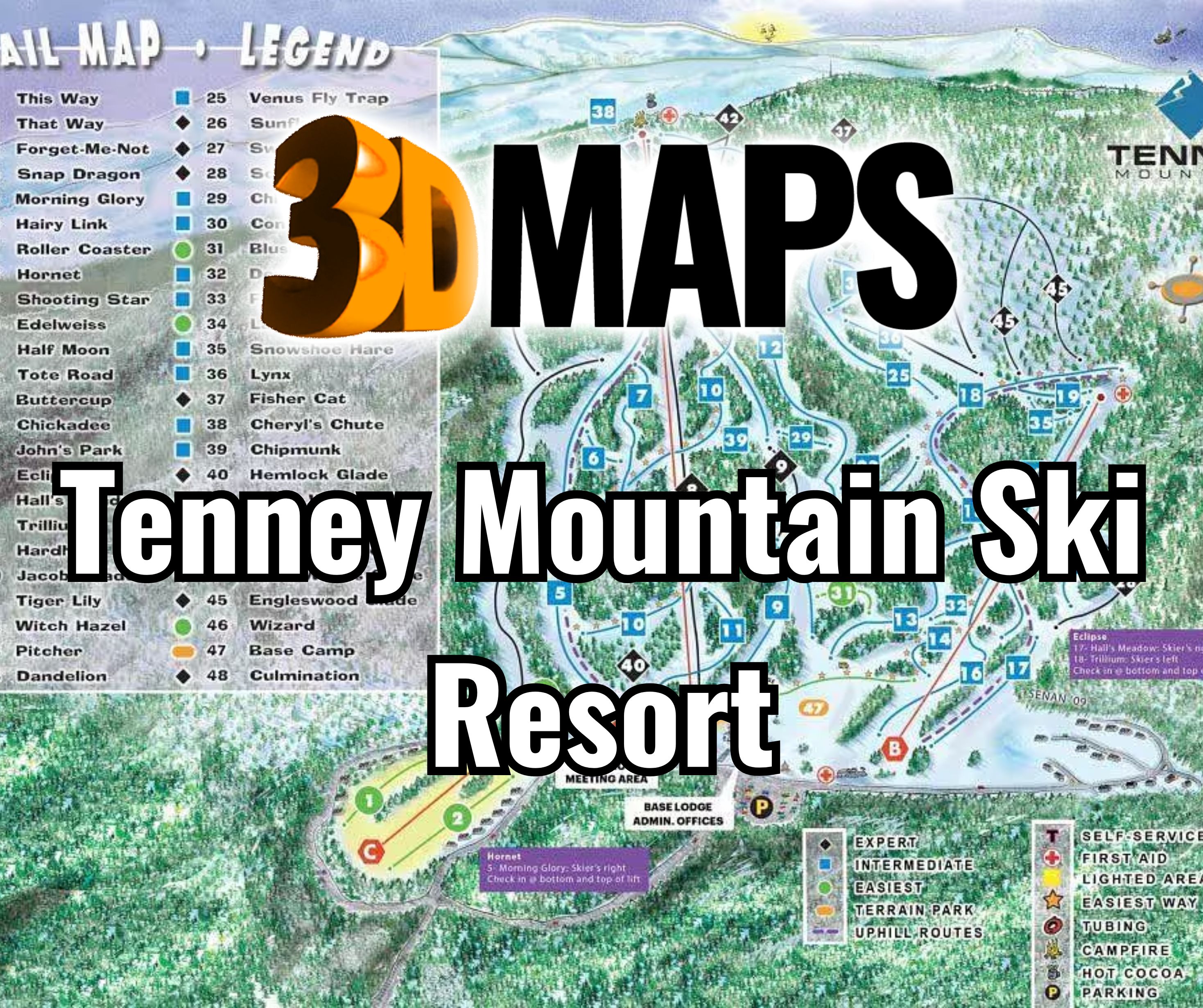
Choose the terrain that belongs in the model
The first decision is whether the map should concentrate on the ski area, include approach roads and nearby reference points, or show a wider mountain relationship. A tight boundary gives more physical room to trail corridors and base features. A broader boundary provides geographic context but makes every label and route smaller at the same finished size.
Supply the preferred geographic limits or an annotated reference map. If the map must include a lodge, parking area, access road, property line, or neighboring terrain, identify it before the relief data is prepared. The requested boundary should come from current project information rather than an older public trail graphic.
Set a hierarchy for terrain and resort information
A useful Tenney Mountain map does not give every feature equal visual weight. Decide what a person should recognize first, then reserve quieter treatments for supporting information.
Mountain form
Relief, ridgelines, valleys, and the overall slope relationship establish the physical geography.
Trails and lifts
Approved route data can be differentiated by line treatment, color, or labels without obscuring the terrain.
Base-area features
Lodges, arrival points, parking, and access can be included when they matter to the intended viewer.
Legend and orientation
A key, north indicator, title, or separate information panel can carry details that do not fit cleanly on the mountain face.
Compare two completed ski-area terrain models
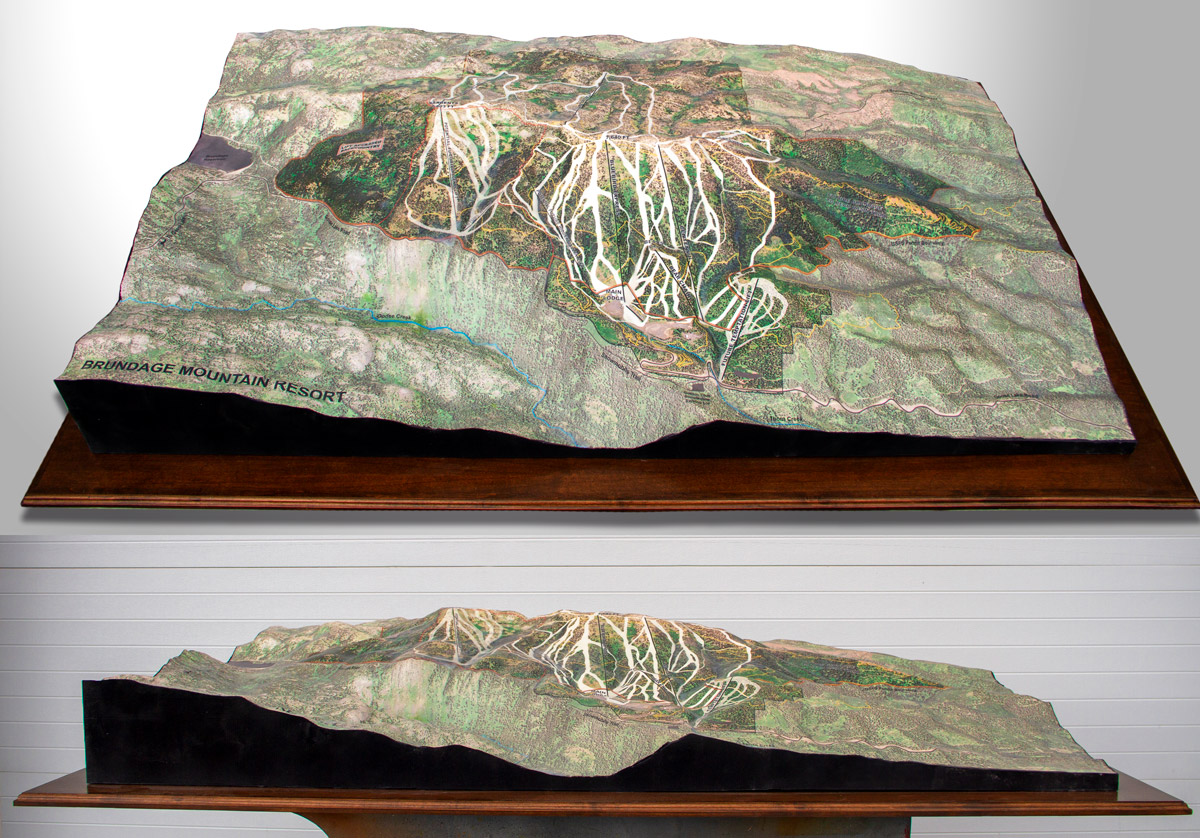
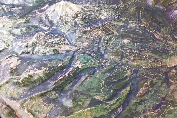
The completed Brundage Mountain and Big Sky examples show how a resort can remain legible as a physical landscape rather than a flat trail diagram. They are references for map composition only; the Tenney Mountain extent, data, scale, and graphics would be established for the new project.
Plan the primary viewing direction
A wall-mounted map, a sloped interpretive display, and a horizontal tabletop model are read from different angles. Identify the expected eye level, viewing distance, and the side from which most people will approach. The preferred direction affects title placement, label orientation, base treatment, and which terrain features remain visible behind higher relief.
Also provide the available wall or floor area, nearby obstructions, and any limit on projection from the mounting surface. If the model will move between locations, describe the case, cart, packing, or handling arrangement that is expected rather than treating portability as an afterthought.
What to send for an initial map discussion
A concise, current source package is enough to define a first scope.
- Annotated map boundary
- Target finished width and height
- Current trail and lift files
- Required labels and legend items
- Primary viewing direction
- Wall, tabletop, or freestanding placement
- Delivery location
- Required completion date
Request pricing for a Tenney Mountain 3D map
Share the map boundary, intended display position, approximate finished size, approved resort data, delivery destination, and deadline. Note which trails, lifts, buildings, roads, or labels must remain readable so the first estimate reflects the actual information load.