
Guest orientation
Organize base areas, lifts, trails, named destinations, and directional information for the intended viewing distance.
A ski-resort terrain model can present lifts, trails, peaks, base areas, access routes, or a wider mountain relationship in one physical view. The project begins by deciding who will use the map, where it will be installed, and which operational or visitor information must remain clear.
Plan a Resort Terrain Map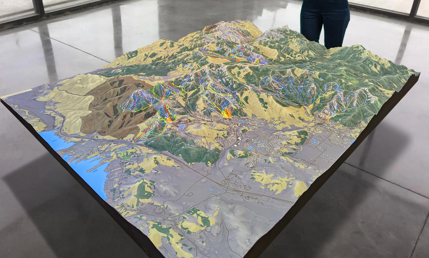
A resort map installed in a visitor center may prioritize orientation and named features, while a model used in a planning meeting may emphasize boundaries, routes, and physical relationships. One map can support several uses, but the hierarchy should be explicit.
Organize base areas, lifts, trails, named destinations, and directional information for the intended viewing distance.
Show a documented property or development relationship without adding boundaries or claims not supplied by the client.
Present terrain, access, and named zones for group review when the necessary operational data is provided.
Combine physical relief with selected labels or legends for a lodge, museum, welcome area, or educational setting.
Plan a portable model, durable base, and handling method when the map travels to meetings or resort events.
Include surrounding peaks, roads, communities, or neighboring terrain only when the wider extent supports the map purpose.
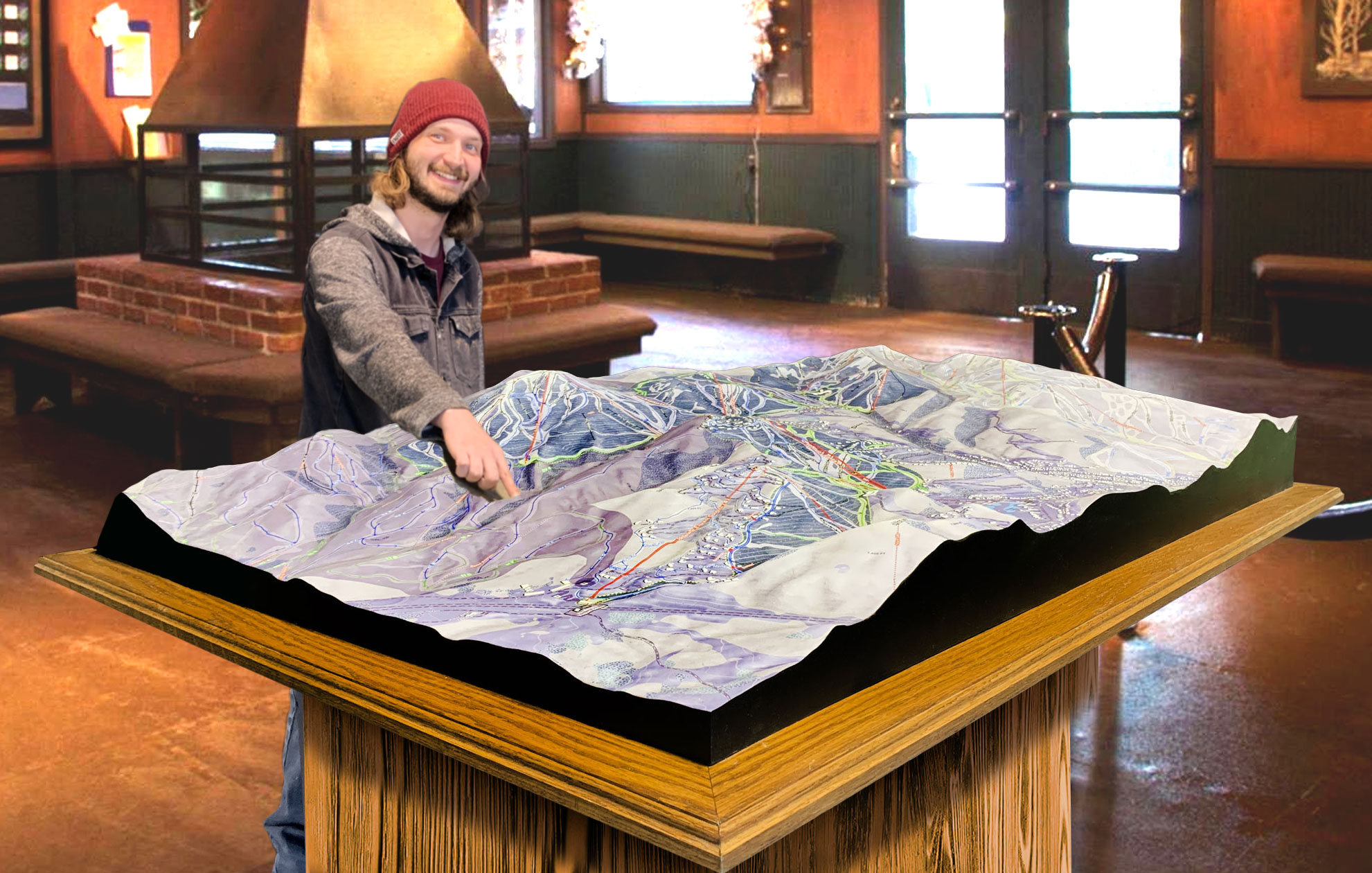
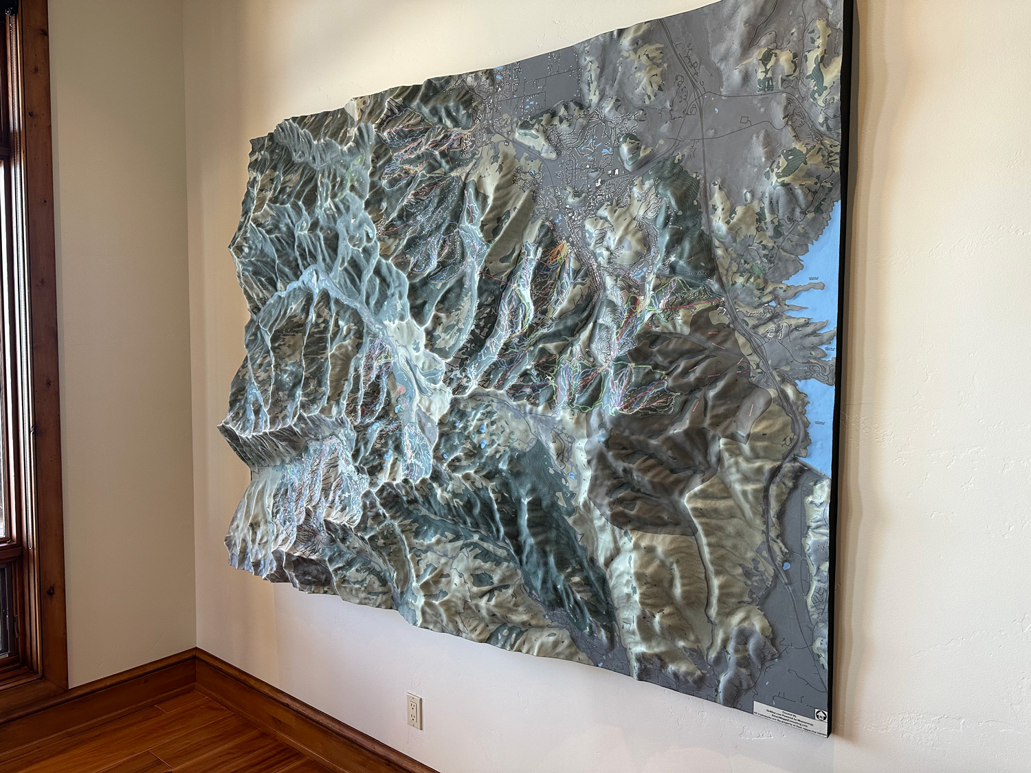
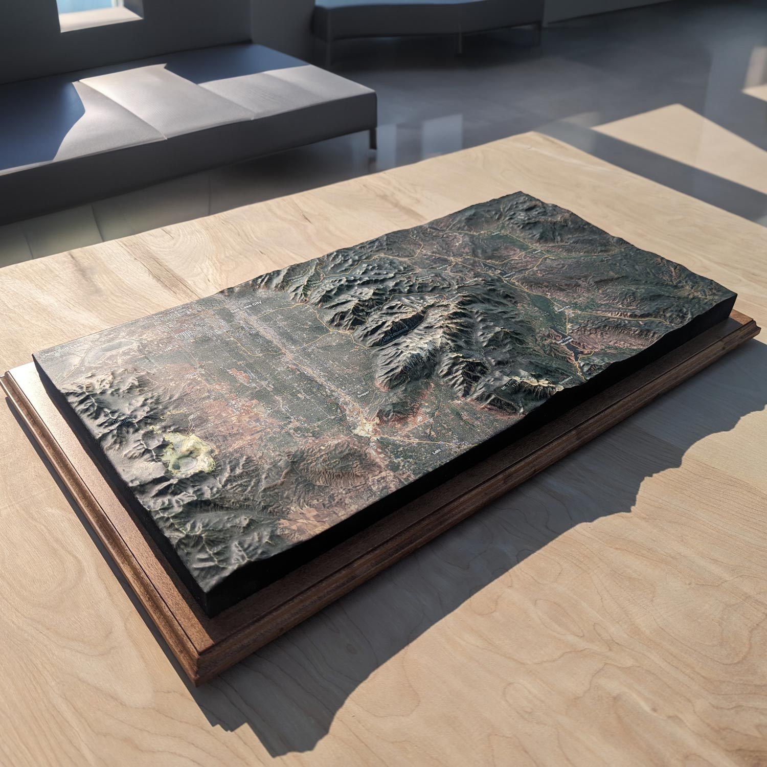
These completed WhiteClouds projects show Utah ski terrain as a large regional model, a resort-development map, a wall-mounted ski-trail display, and another raised-relief ski-area presentation.
Provide the geographic boundary, elevation data, approved trail and lift files, place names, roads, property overlays, and any aerial imagery separately. Mark the authoritative source and revision date for each layer. Resort operations and naming change, so older public maps should not be treated as current production data without review.
Establish a label hierarchy before the face becomes crowded. Primary destinations, lift names, and major terrain features may need different size or color treatment. A legend, key, or separate information panel can carry detail that does not belong directly on the relief surface.
Share the installation footprint, floor plan, expected audience approach, and whether the map sits on a table, pedestal, wall, or custom base. A model viewed mainly from one direction can orient labels accordingly; a walk-around installation needs information that works from several sides.
If the map may be touched, moved, or placed in a high-use public setting, describe that use directly. The finish, edge treatment, support, and service plan must be scoped for the actual environment rather than inferred from a gallery image.
Current, bounded source files are the foundation of an accurate map proposal.
Review the topographical-model service for broad production scope and the gallery for other physical terrain, label, base, and installation references.
Send the desired extent, current resort data, installation measurements, intended audience, and schedule. Note whether WhiteClouds should evaluate a pedestal, enclosure, removable overlay, or other presentation component.