
Hidden Valley 3D Map Ideas
Because the name Hidden Valley can refer to more than one place, the first project input is an exact location and marked boundary. From there, a compact physical map can concentrate on the valley shape, surrounding slopes, access points, and the limited set of routes or names needed for its intended setting.
Define a Hidden Valley Map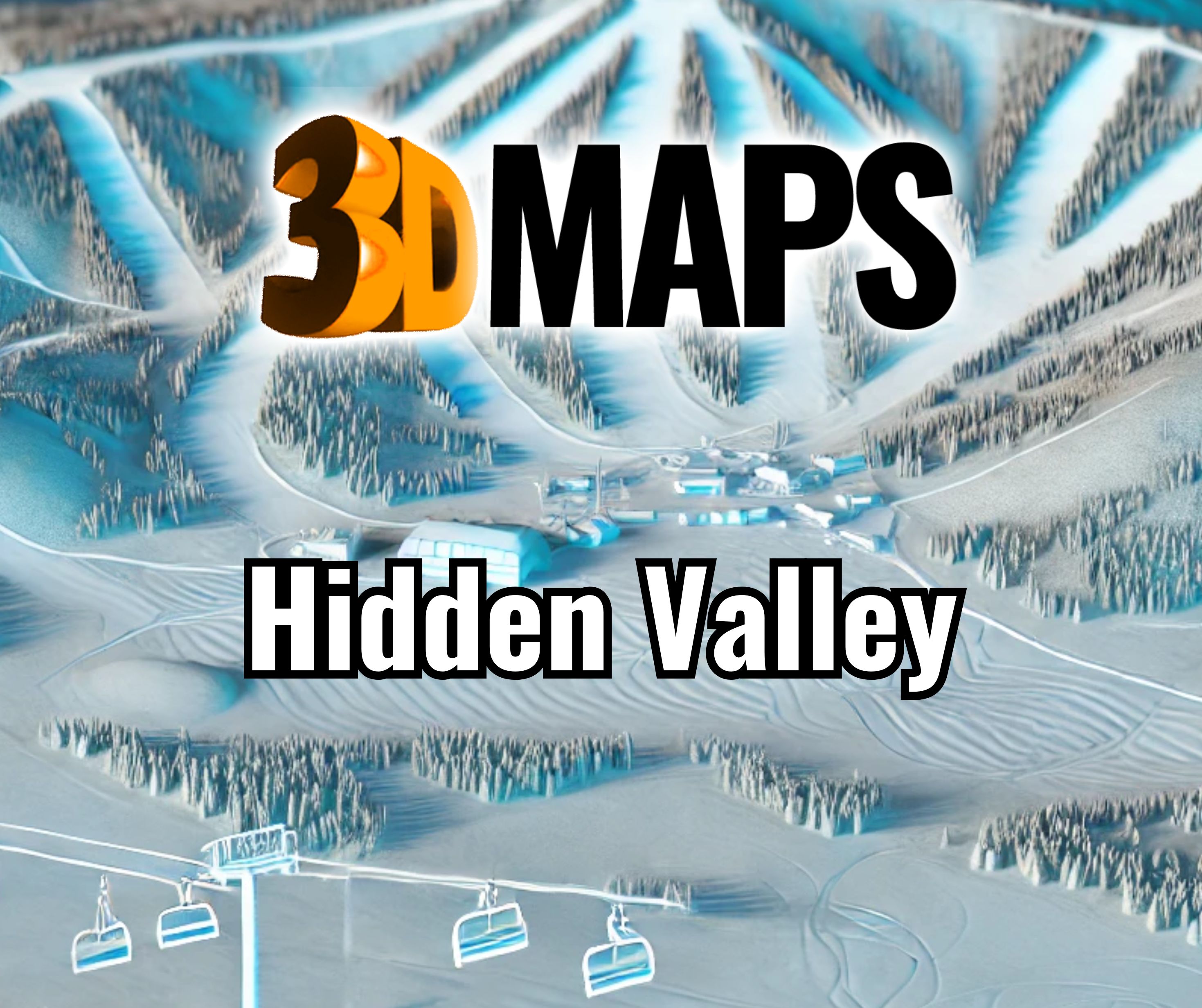
Identify the exact Hidden Valley and map edge
Begin with coordinates, a survey boundary, GIS data, or a clearly marked current map. The title alone is not enough to establish the correct geography. Indicate the north direction, outer reference features, and whether the model should include only the valley floor and enclosing slopes or a broader approach corridor.
A compact extent can preserve useful relief and leave room for labels. Wider context may be appropriate when roads, neighboring peaks, property relationships, or visitor orientation are part of the purpose. The boundary should be deliberate rather than the accidental limits of an available screenshot.
Review two completed resort-area wall maps
The Winter Park and Switzerland examples show how terrain can be bounded and presented vertically in a visitor-facing setting. They do not define the geography, graphics, or mounting method for a new Hidden Valley model.


Choose the map's physical relationship to the viewer
A small geographic area can support several presentation formats. Select the one that fits the room and the intended reading behavior.
Frontal wall view
Prioritize a clear title, consistent label orientation, controlled projection, and mounting access.
Angled interpretive view
Use a sloped surface when viewers will approach closely and read terrain from above.
Tabletop model
Allow viewing from more than one side and decide which text rotates or remains tied to one primary edge.
Portable presentation
Set section, case, and handling limits when the map must travel or be stored between uses.
Keep the valley readable
List the routes, buildings, waterways, boundaries, or named terrain features that are essential. Then separate optional context from required content. On a compact model, a few well-ranked labels usually communicate more clearly than a dense transfer of every source-map annotation.
Share any required color standards and the room's normal viewing distance. If the map will be updated, identify which layer is expected to change and how often. That information can influence whether graphics should be treated as permanent, replaceable, or carried on a separate panel. Include the approved map title and date with the graphic source package.
Information that removes location ambiguity
The first estimate should be based on a confirmed place and a bounded information set.
- Coordinates or authoritative location
- Marked map boundary
- North direction and primary approach
- Desired finished dimensions
- Required routes and place names
- Wall, angled, or tabletop format
- Available site measurements
- Delivery address and date
Discuss a custom Hidden Valley 3D map
Send the exact location, a marked geographic boundary, available terrain data, required labels, target size, display orientation, site constraints, destination, and timing. If several places share the name, include coordinates in the first message.