A road map is a detailed guide to help travelers navigate unfamiliar terrain. It usually includes the layout of roads, highways, cities, and other points of interest that one may encounter on a journey. Road maps have been in use for centuries, and with the advent of technology, they have become even more accessible and convenient for users. In this encyclopedia entry, we will explore the different types of road maps, their features, benefits, and history.
Types of Road Maps
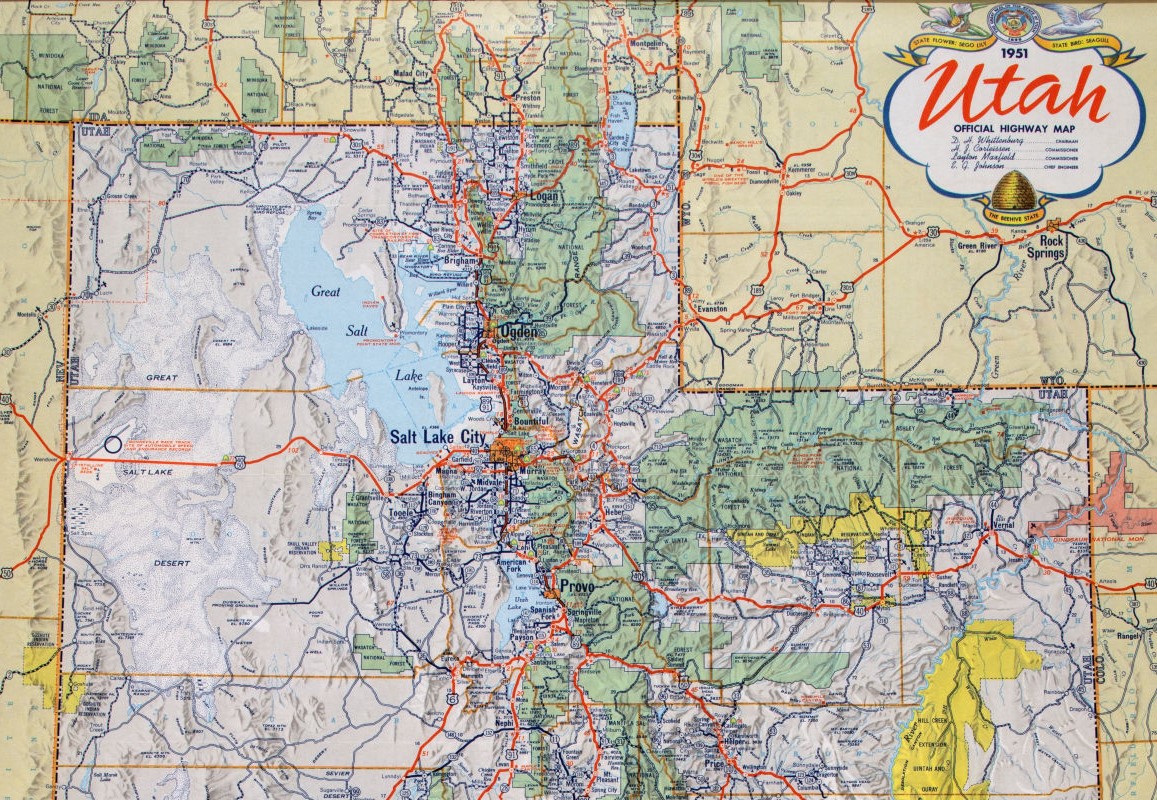
There are several types of road maps, including general maps, regional maps, and city maps. General maps provide an overview of an entire country or region and are useful for planning long-distance travel. Regional maps focus on a smaller area, such as a state or province, and provide more detail about the roads and points of interest in that region. City maps are the most detailed and show the layout of streets, buildings, and landmarks in a particular city.
Another type of road map is a topographical map. These maps show the physical features of the land, such as mountains, rivers, and forests, and are particularly useful for hikers and outdoor enthusiasts. They also show roads and other man-made structures, which can help hikers navigate trails.]
Uses of Road Maps
Road maps are an essential tool for travelers, drivers, and even city planners. These maps provide a visual representation of the road network, showing highways, streets, and major landmarks.
- Navigation: The most common use of road maps is for navigation. Drivers use these maps to plan their routes and navigate to their destinations. The maps provide information about the road network, including highways, streets, and intersections. They also show major landmarks, such as parks, museums, and shopping centers, making it easier for drivers to find their way.
- Trip Planning: Road maps are also useful for trip planning. Travelers use maps to plan their routes and determine the distance between two points. They can also use the maps to find points of interest along the way, such as scenic routes, restaurants, and attractions. R oad maps can also help travelers plan for potential road closures, construction, and traffic congestion.
- Emergency Services: Emergency services such as police, firefighters, and ambulance drivers use these maps to respond to emergency calls quickly. The maps help them navigate to the scene of the emergency and locate the fastest route to their destination. They also provide information about the location of hospitals, fire stations, and police stations, making it easier for emergency services to find these facilities.
- Urban Planning: Road maps are an important tool for urban planners. They use the maps to plan new roads and highways, as well as to identify potential areas for development. They can also help planners identify areas where traffic congestion is a problem, allowing them to propose solutions to alleviate congestion and improve traffic flow.
- Tourism: Road maps are also an important tool for the tourism industry. Tourists use maps to navigate to their destinations and explore new areas. The maps provide information about points of interest, such as historic sites, scenic routes, and tourist attractions. They can also help tourists find accommodations, restaurants, and shopping centers.
- Real Estate: Real estate agents use road maps to help clients find properties for sale or rent. The maps provide information about the location of the property, nearby amenities, and the distance to major landmarks. Real estate agents can also use these maps to help clients understand the layout of a neighborhood, including the location of schools, parks, and other important features.
- Delivery Services: Delivery services such as postal services, couriers, and food delivery companies use road maps to plan their routes and make deliveries efficiently. The maps help them navigate to their destinations and avoid traffic congestion. They can also help delivery services optimize their routes to save time and fuel costs.
- Education: Road maps are also useful for educational purposes. Geography teachers use maps to teach students about the road network, as well as the location of major cities, landmarks, and bodies of water. History teachers can also use maps to teach students about historical events that took place along certain routes, such as the Oregon Trail or the Route 66.
- Research: Researchers use road maps to study traffic patterns, transportation infrastructure, and the impact of road networks on the environment. They can use the maps to analyze traffic congestion, identify areas where accidents are more likely to occur, and propose solutions to alleviate these problems.
- Government Planning: Finally, road maps are an important tool for government planning. Government agencies use these maps to plan new transportation infrastructure, such as highways, bridges, and tunnels. They can also use the maps to identify areas where transportation improvements are needed, such as areas with high traffic congestion or limited public transportation options.
Features of Road Maps
Road maps typically include a variety of features to help users navigate. These include road names, highway numbers, and distances between cities. They may also include information about tolls, rest areas, and other points of interest, such as national parks or historic landmarks.
Many modern road maps are interactive, allowing users to zoom in and out, search for specific locations, and get real-time traffic updates. Some maps also include satellite imagery, which can provide a more detailed view of the terrain and surroundings.
Benefits of Road Maps
The benefits of road maps are numerous. They allow travelers to plan their routes ahead of time and avoid getting lost. They also provide a sense of security and comfort, as users can see where they are going and what they can expect to encounter along the way.
Road maps can also be a valuable resource for business owners, such as trucking companies or delivery services, who need to plan efficient routes for their vehicles. By using a road map, they can save time and money by avoiding traffic and taking the most direct route to their destination.
Learn more about Maps
- Topographical Maps: Representation of the physical features of a region or area.
- Contour Maps: Representation of the contours of the land surface or ocean floor.
- Raised Relief Maps: Representation of land elevations with raised features indicating landforms.
- Terrain Maps: Representation of the physical features of a terrain or landmass.
- USGS Topographic Maps: Representation of topographic features and land elevations based on USGS data.
- USGS Historical Topographic Maps: Representation of historical topographic maps created by the USGS.
- Watershed Maps: Representation of the areas where water flows into a particular river or lake.
- Elevation Maps: Representation of land and water elevations with high precision.
- Physical Maps: Representation of physical features of the Earth’s surface such as landforms, oceans, and plateaus.
- Bathymetric Maps: Representation of the topography and features of the ocean floor.
- NOAA Maps: Representation of atmospheric, oceanographic, and environmental data by NOAA.
- Nautical Maps: Representation of the underwater features and depth of an area for navigation purposes.
- Geologic Maps: Representation of the geologic features of an area such as rock types, faults, and folds.
- Satellite Maps: Representation of earth from high-definition satellite imagery.