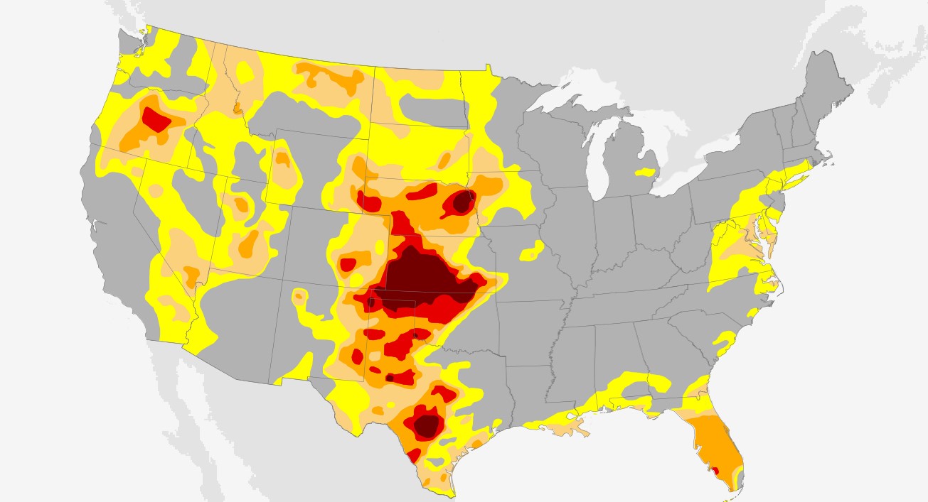
Climate maps are geographical representations of the earth’s climate. They depict the spatial variation of climate parameters such as temperature, precipitation, wind speed, and humidity. Climate maps can be used to identify regions with similar climate conditions and to study the spatial distribution of weather patterns. These maps are an essential tool for understanding climate change and its impact on the environment, human health, and society. Climate maps can also be used to develop sustainable land use practices, plan for infrastructure development, and design policies for disaster mitigation.
Types of Climate Maps
There are several types of climate maps that are commonly used to represent different aspects of the earth’s climate. The most common types of climate maps include temperature maps, precipitation maps, wind maps, and humidity maps. Temperature maps show the average temperature of a region during a particular period, usually a month or a year. Precipitation maps show the amount of rainfall or snowfall in a region during a particular period. Wind maps show the direction and speed of winds in a region, and humidity maps show the amount of water vapor in the air.
Uses of Climate Maps
Climate maps are a type of map that provide information about the climate of a particular region. They can display a range of climate-related data, including temperature, precipitation, humidity, and wind patterns.
- Agriculture: Climate maps are essential for agriculture. Farmers use them to determine what crops can be grown in a particular region and when they should be planted. The maps provide information about the length of the growing season, the amount of rainfall, and the temperature range, all of which are important factors in deciding which crops to plant.
- Tourism; Climate maps are also useful for tourism. Tourists use them to plan their trips, especially those that involve outdoor activities such as hiking, skiing, or water sports. The maps provide information about the weather patterns in a particular region, which helps tourists make informed decisions about when to visit and what activities to participate in.
- Construction: Climate maps are important for construction. Architects and engineers use them to design buildings that are appropriate for the climate of a particular region. For example, buildings in cold regions need to be designed with insulation and heating systems, while buildings in hot regions need to be designed with ventilation and cooling systems.
- Energy: Climate maps are useful for the energy industry. Energy companies use them to determine where to build wind farms, solar farms, and other renewable energy facilities. The maps provide information about the wind patterns and solar radiation in a particular region, which helps energy companies determine the potential for generating electricity from renewable sources.
- Transportation: Climate maps are important for transportation. They provide information about the weather patterns in a particular region, which helps transportation companies plan their routes and schedules. For example, airlines use climate maps to plan their flight schedules and avoid regions with severe weather conditions.
- Environmental Planning: Climate maps are useful for environmental planning. They provide information about the impact of climate change on a particular region, such as the frequency and severity of extreme weather events. Environmental planners use this information to develop strategies to mitigate the effects of climate change, such as building sea walls to protect coastal communities from rising sea levels.
- Public Health: Climate maps are important for public health. They provide information about the distribution of diseases that are influenced by climate factors, such as malaria and dengue fever. Public health officials use this information to develop strategies to prevent the spread of these diseases, such as implementing mosquito control measures in areas with high rates of mosquito-borne diseases.
- Research: Climate maps are useful for research. Scientists use them to study climate patterns and how they are changing over time. Climate maps can also be used to model future climate scenarios and predict the potential impact of climate change on different regions.
- Education: Climate maps are useful for education. Teachers use them to teach students about climate patterns and their impact on the environment. They can also be used to teach students about climate change and its potential impact on different regions.
- Government Planning: Climate maps are important for government planning. Government agencies use them to develop policies and programs to address the impact of climate change on different regions. For example, these maps can be used to identify areas where natural disasters are likely to occur, and government agencies can use this information to develop disaster response plans.
Features of Climate Maps
Climate maps have several features that make them useful tools for studying climate conditions. First, climate maps provide a spatial representation of climate conditions, which allows researchers to identify regions with similar climate conditions. Second, climate maps can be used to identify trends in climate conditions over time. Third, climate maps can be used to compare climate conditions between different regions. Finally, climate maps can be used to identify regions that are vulnerable to climate change and to develop adaptation strategies for these regions.
Benefits of Climate Maps
Climate maps have several benefits that make them useful tools for understanding climate change. First, climate maps can be used to identify regions that are vulnerable to climate change, which can help policymakers develop adaptation strategies for these regions. Second, climate maps can be used to identify trends in climate conditions, which can help scientists develop models to predict future climate conditions. Third, climate maps can be used to compare climate conditions between different regions, which can help policymakers identify regions that are suitable for specific types of land use. Finally, climate maps can be used to develop policies for disaster mitigation, which can help reduce the impact of extreme weather events.
Learn more about Maps
- Topographical Maps: Representation of the physical features of a region or area.
- Contour Maps: Representation of the contours of the land surface or ocean floor.
- Raised Relief Maps: Representation of land elevations with raised features indicating landforms.
- Terrain Maps: Representation of the physical features of a terrain or landmass.
- USGS Topographic Maps: Representation of topographic features and land elevations based on USGS data.
- USGS Historical Topographic Maps: Representation of historical topographic maps created by the USGS.
- Watershed Maps: Representation of the areas where water flows into a particular river or lake.
- Elevation Maps: Representation of land and water elevations with high precision.
- Physical Maps: Representation of physical features of the Earth’s surface such as landforms, oceans, and plateaus.
- Bathymetric Maps: Representation of the topography and features of the ocean floor.
- NOAA Maps: Representation of atmospheric, oceanographic, and environmental data by NOAA.
- Nautical Maps: Representation of the underwater features and depth of an area for navigation purposes.
- Geologic Maps: Representation of the geologic features of an area such as rock types, faults, and folds.
- Satellite Maps: Representation of earth from high-definition satellite imagery.