- All
- Articles
- Blog
- Case Studies
- Featured
- Galleries
- Glossaries
- Products
- Services
- Top 10
- Videos

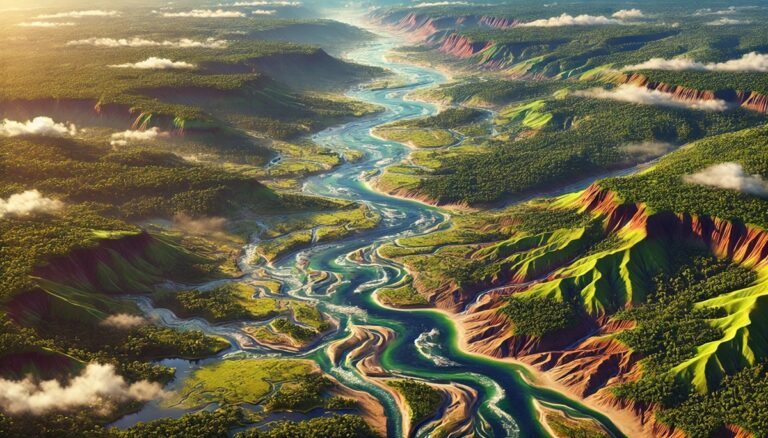
Niger Watershed Maps
Niger’s watersheds, including the Niger River Basin, are essential for agriculture, ecosystems, and water management. This blog explores how modern technologies like 3D mapping, GIS, ...
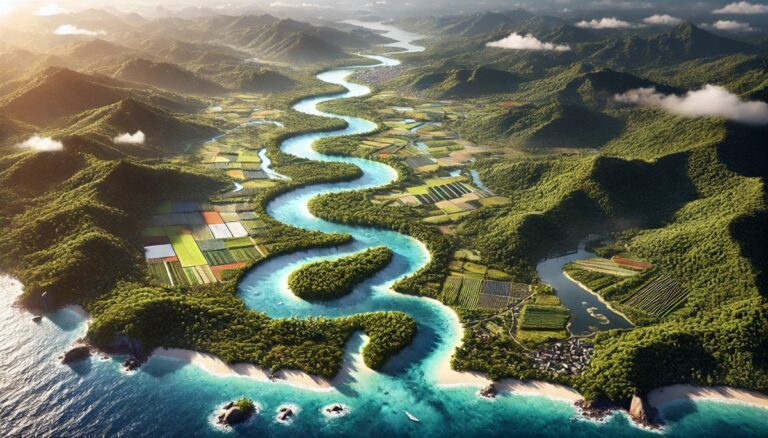
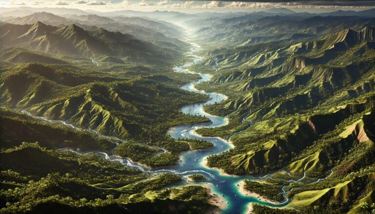
Seychelles Watershed Maps
Seychelles’ watersheds, including the Mont Fleuri and Port Glaud River Basins, are vital for agriculture and ecosystems. This blog explores how modern technologies like 3D ...

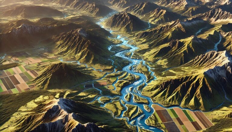
Monaco Watershed Maps
Monaco faces unique challenges in managing its limited water resources. This blog explores how 3D watershed maps help the country address water scarcity, pollution, and ...

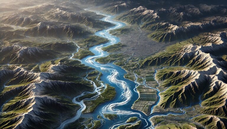
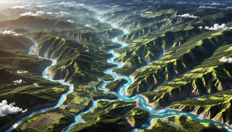
Myanmar Watershed Maps
Myanmar’s watersheds, including the Irrawaddy, Salween, and Sittaung Rivers, are crucial for the country’s ecology and agriculture. This blog highlights the importance of these basins ...
Korea Watershed Maps
South Korea’s watersheds are vital for agriculture, energy, and ecosystems. This blog examines their importance, challenges, and how 3D watershed maps help manage water resources, ...

Mauritania Watershed Maps
Mauritania’s watersheds play a critical role in agriculture, energy, and ecosystems. This blog explores their significance, challenges, and how 3D watershed maps help manage water ...

Idaho Topo Map
Discover Idaho's breathtaking landscapes through topographic maps that reveal the jagged peaks of the Sawtooths, the wild Salmon River, and the volcanic fields of Craters ...

Arkansas Topo Map
Discover the breathtaking landscapes of Arkansas through detailed topographic maps that reveal the state's towering mountains, winding rivers, and fertile plains. Whether exploring the Ozarks, ...
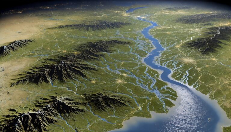
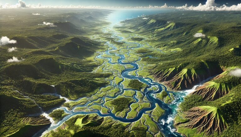
Mississippi River Watershed Map
Dive into the immense Mississippi River Watershed, a vast network spanning 31 U.S. states. Discover how detailed maps, including stunning 3D models, reveal its intricate ...
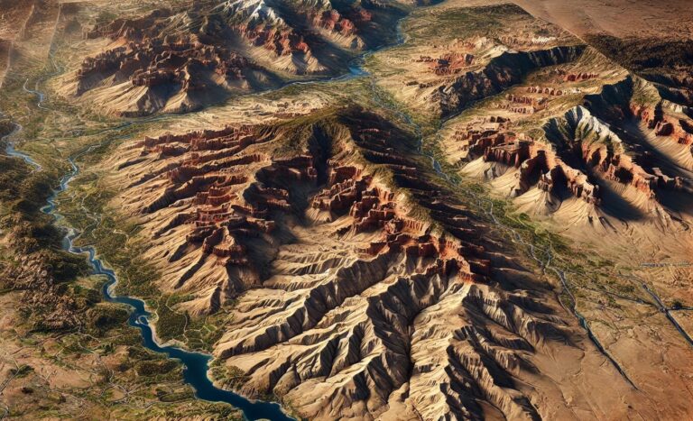
Arizona Topo Map
Uncover the breathtaking beauty of Arizona’s landscapes through topographic maps that bring the state’s diverse terrain to life. From the Grand Canyon’s majestic depths to ...
Suriname Watershed Maps
Suriname’s watersheds, including the Suriname, Marowijne, and Tapanahoni River Basins, are vital for agriculture and ecosystems. Learn how modern technologies like 3D mapping, GIS, and ...

Iran Watershed Maps
Iran’s watersheds are crucial for agriculture, industry, and ecosystems. This blog examines their significance, the challenges they face, and how 3D watershed maps help manage ...
Haiti Watershed Maps
Haiti’s watersheds are crucial for agriculture, ecology, and water supply. This blog examines their significance, challenges, and the role of 3D watershed maps in sustainable ...

Israel Watershed Maps
Israel’s watersheds are critical for agriculture, industry, and ecosystems. This blog explores their importance, challenges, and how 3D watershed maps contribute to managing water resources, ...
Slovakia Watershed Maps
Slovakia’s watersheds, such as the Danube, Váh, and Hron River Basins, are vital for agriculture and ecosystems. Learn how modern technologies like 3D mapping, GIS, ...

Sierra Leone Watershed Maps
Sierra Leone’s watersheds, including the Rokel and Moa River Basins, are crucial for agriculture and ecosystems. This blog explores how modern technologies like 3D mapping, ...

Philippines Watershed Maps
The Philippines’ watersheds, including the Cagayan and Agusan River Basins, are vital for agriculture, ecosystems, and water management. This blog explores how modern technologies like ...
Colombia Watershed Maps
Colombia’s watershed maps are crucial for managing the country’s river systems, predicting floods, and ensuring sustainable water use. These maps help allocate water for agriculture, ...
Guyana Watershed Maps
Guyana’s watersheds are vital for its ecosystems, agriculture, and economy. This blog explores the importance of these water systems, the challenges they face, and how ...

Golf Course Topographical 3D Maps
Golf course topographical 3D maps transform how players and designers approach the game. These detailed maps reveal terrain, slopes, and hazards, offering golfers a deeper ...

Lake McDonald 3D Topographical Map
Lake McDonald’s breathtaking beauty comes to life with a 3D topographical map, showcasing its crystal-clear waters, towering mountains, and deep glacial-carved valleys. Perfect for hikers, ...
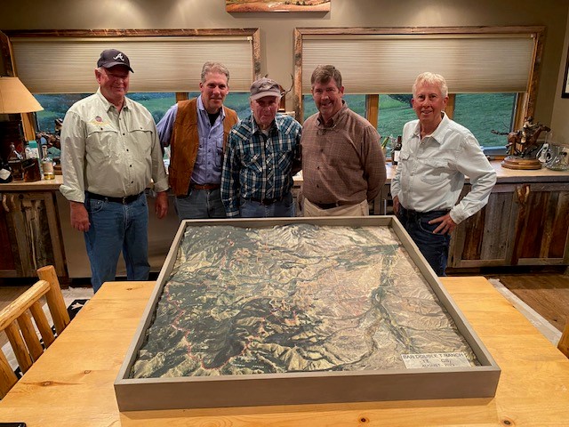
Ranch Topographical Maps
Ranch topographical maps are essential for managing land, planning infrastructure, and optimizing water resources. These detailed maps reveal the terrain's natural features, helping ranchers, developers, ...

Turkmenistan Watershed Maps
Turkmenistan’s watersheds, including the Amu Darya, Murghab, and Karakum River Basins, are vital for agriculture and ecosystems. Learn how modern technologies like 3D mapping, GIS, ...
Russia Watershed Maps
Russia’s watersheds, such as the Volga and Ob River Basins, are crucial for agriculture, ecosystems, and water management. Learn how modern technologies like 3D mapping, ...
Montenegro Watershed Maps
Montenegro's watersheds play a crucial role in the country's ecology and economy, supporting biodiversity and agriculture. This blog explores their significance and how 3D mapping ...
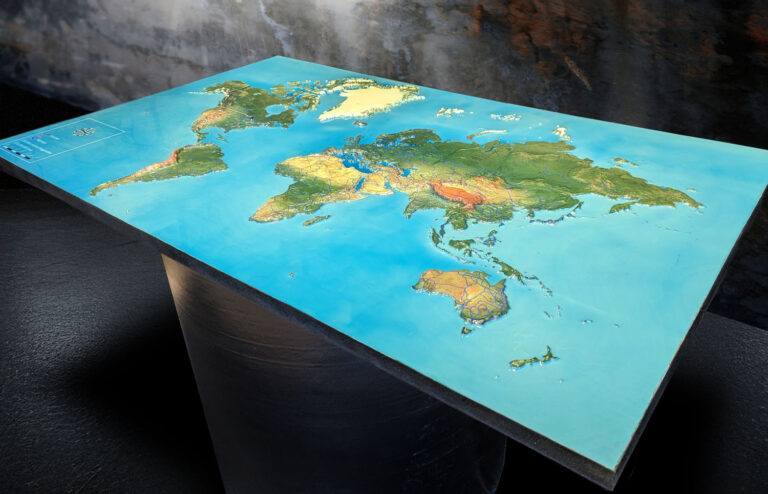
3D Map of the World
Unlock the world's secrets with stunning 3D maps that elevate your understanding of geography! Discover how these innovative tools are crafted, explore their diverse applications ...
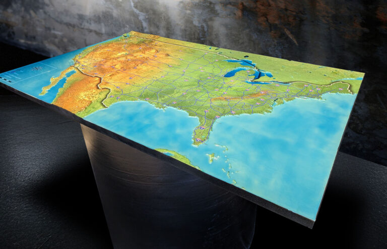
3D Map of the United States
Discover the U.S. in stunning detail with 3D maps! These immersive maps bring mountains, cities, and landscapes to life, offering a unique way to explore ...
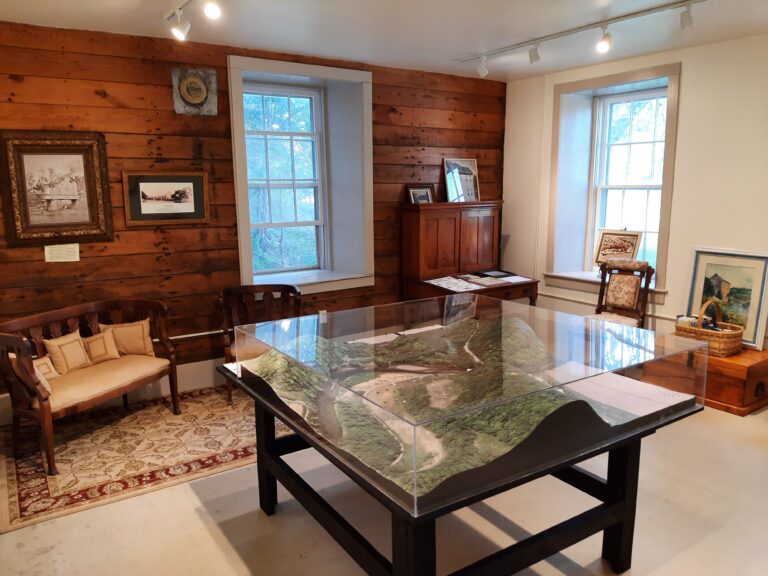
3D Landscape Model of Motor Mill Historic Site
Discover the fascinating 3D landscape model of Iowa’s historic Motor Mill, bringing the 1860s grain mill and its vanished infrastructure back to life. This immersive ...