
Planning a Ranch Topographical Map
A ranch topographical map becomes useful when its physical boundary and information hierarchy match the land question it needs to answer. Property limits, roads, water, structures, vegetation, and elevation cannot all carry equal emphasis, so the map should begin with a defined audience and purpose.
Plan a Ranch Map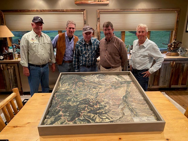
Choose the land extent before the finished size
A property map may stop at the deed boundary, extend into neighboring terrain for orientation, or follow a watershed or operational area. Mark the intended edge on a current map. A narrow, irregular ranch boundary can produce a different physical composition from a rectangular frame, and surrounding context consumes space that could otherwise show internal detail.
Once the extent is known, select a finished width and height that allow priority features to remain readable. A wider geographic area at the same model size reduces the physical separation between roads, streams, buildings, and labels. The map does not need every available data layer; it needs the ones that support its stated use.
Rank the layers shown on the terrain
Client-supplied current data should distinguish existing conditions from any planned or interpretive information.
Boundaries
Property lines, parcels, leases, easements, or management zones need an approved line hierarchy and legend.
Access
Roads, gates, trails, and structures can support orientation when their source data and names are current.
Water and landform
Streams, ponds, watersheds, ridges, and valleys can be emphasized without covering the physical relief.
Labels
Place names, coordinates, keys, and titles should be limited to text that remains useful at the chosen scale.
Compare five completed terrain presentations
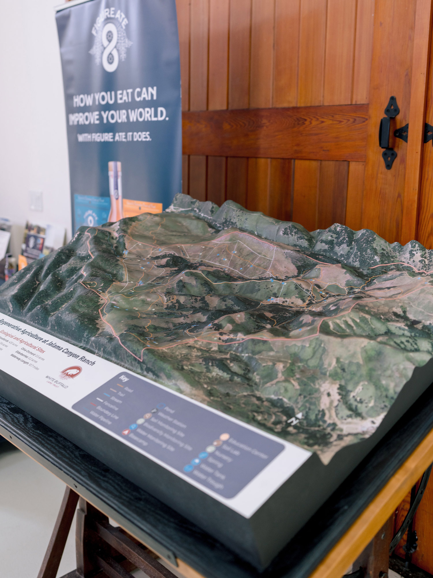
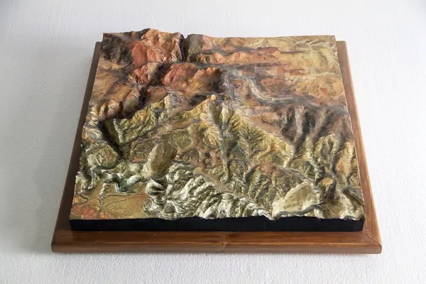
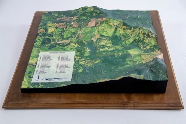
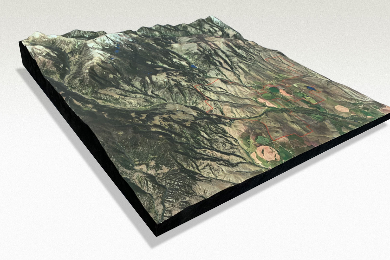
The Bar Double T, Jalama Canyon, Hairecienda, Walker, and Montana watershed projects are completed WhiteClouds maps. They show varied boundaries, information density, and display formats. Each new ranch map still requires its own authoritative geography and client-approved labels.

Set the viewing direction and presentation angle
A vertical wall map, sloped interpretive surface, and horizontal table are read from different positions. Identify the most common approach and the elevation from which viewers will examine the relief. Label orientation, title placement, and the visibility of higher terrain should respond to that direction.
Provide wall dimensions, table footprint, mounting height, and nearby obstructions. If the map will move between rooms or properties, define case, packing, lifting, and setup expectations. Any requested removable markers, lighting, digital elements, or writable surface should be called out as a functional requirement rather than assumed from the map imagery.
Assemble the first ranch data package
A preliminary quote can begin with a bounded extent and a short list of required layers.
- Marked property or terrain boundary
- Target display dimensions
- Authoritative elevation or GIS files
- Current parcel and access data
- Required water and structure layers
- Approved names and legend items
- Wall, table, or freestanding format
- Delivery destination and milestone date
Request a ranch topographical map quote
Send the map boundary, preferred dimensions, authoritative terrain and property files, required layers, label list, display format, viewing direction, delivery address, and schedule. Indicate which land relationship the map must make clearest so the map scope can prioritize the right information.