
Terrain and contours
Establish the geographic extent, elevation source, vertical treatment, and the level at which slopes need to read.
A golf-course terrain model can show fairways, greens, hazards, water, paths, buildings, and surrounding land in one physical view. Before choosing the model size, decide whether it will support design review, visitor orientation, property presentation, tournament planning, or a permanent clubhouse display.
Discuss a Golf Course Map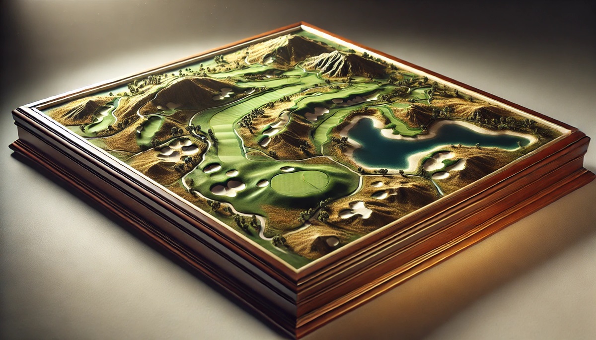
A design-team model may need accurate grading relationships and removable planning overlays. A clubhouse display may place more emphasis on course identity, orientation, and an attractive base. Tournament or event use can add portability, temporary labels, and a fixed delivery window.
Write down the questions the map should answer. That list helps determine whether the scope should cover one hole, the playable course, the complete property, or a wider drainage and access area.
These completed WhiteClouds projects show a golf-course terrain display and a broader architectural site model with golf-course context. They support different discussions about terrain, buildings, routes, and presentation scale.
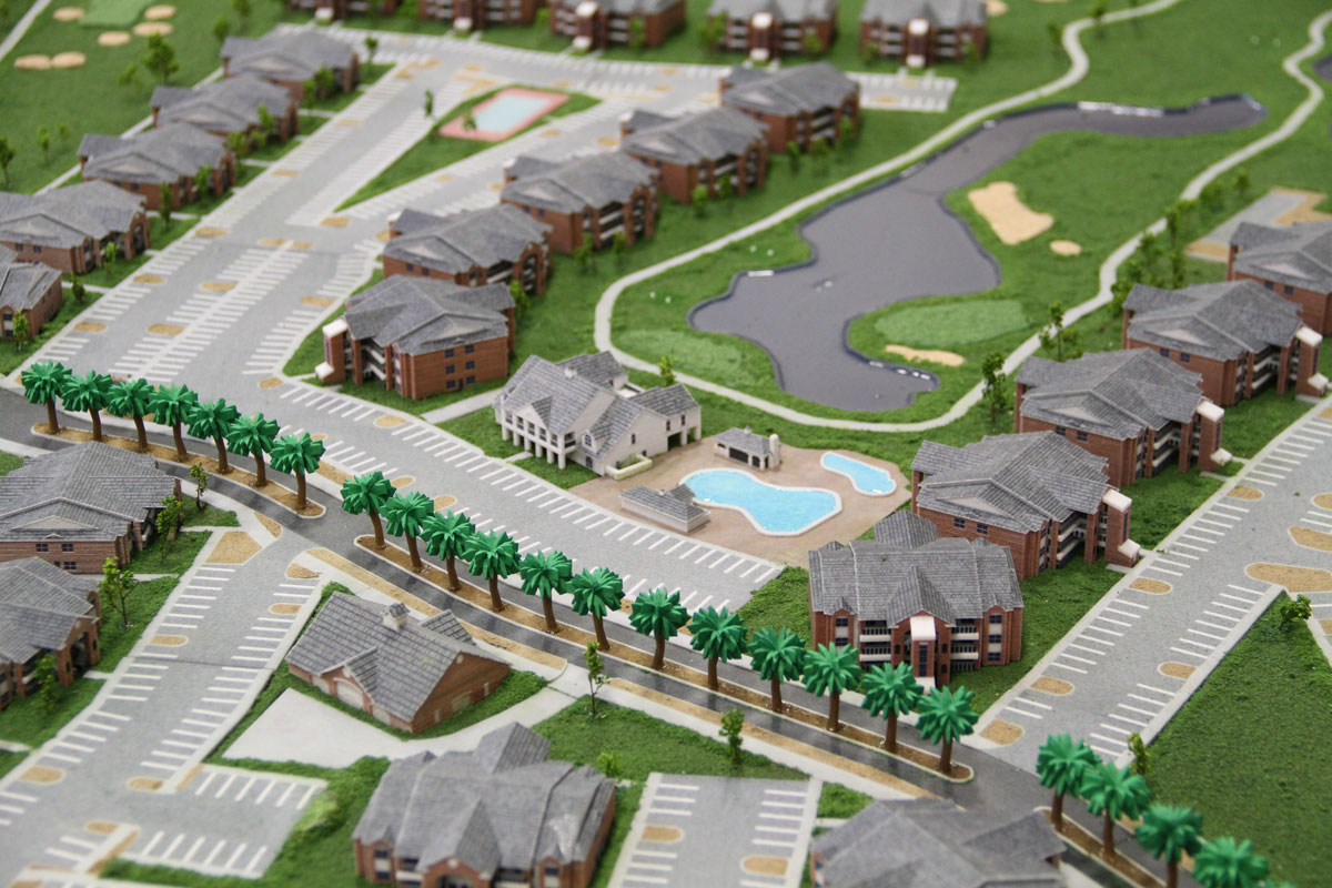
Not every course feature needs equal emphasis. Prioritize the terrain and operational layers that support the approved use.
Establish the geographic extent, elevation source, vertical treatment, and the level at which slopes need to read.
Supply approved fairway, green, tee, bunker, and hazard data rather than relying on an unverified public graphic.
Decide whether these features need precise mapped boundaries, simplified visual treatment, or omission at the chosen scale.
Include clubhouses, maintenance areas, cart paths, bridges, and access routes when they matter to the map purpose.
Set a hierarchy for hole numbers, named areas, distances, property notes, and any separate explanatory panel.
Discuss removable markers or overlays when tournament routes, planning alternatives, or future phases may change.
Provide a floor plan, wall or table dimensions, approach direction, and the height at which visitors will view the map. A walk-around display needs a different label orientation and edge treatment from a model positioned against a wall.
State whether the map will be touched, enclosed, moved, or installed in a site-specific exterior location. Those conditions require explicit review. A gallery image does not establish suitability for weather, public contact, or a particular mounting method.
Consider how the map relates to scorecards, digital screens, printed course plans, or nearby signage. If another medium already carries detailed yardage or rules, the physical model can concentrate on terrain and spatial relationships instead of repeating every available label.
A current, approved file package reduces ambiguity during estimate and design review.
The topographical-model service covers broader fabrication choices. The gallery offers additional references for terrain, bases, labels, and presentation scale.
Send the map boundary, course files, finished-size limits, installation setting, expected use, and schedule. Identify any removable elements or proprietary planning layers that need separate handling.