
Motor Mill Historic Site 3D Landscape Model
WhiteClouds created a raised-relief landscape model for Motor Mill Historic Site in Northeast Iowa, presenting the mill setting, surrounding hillsides, and river valley as one physical display.

- Site
- Motor Mill Historic Site
- Region
- Northeast Iowa
- Model
- Raised-relief landscape
- Application
- Visitor interpretation
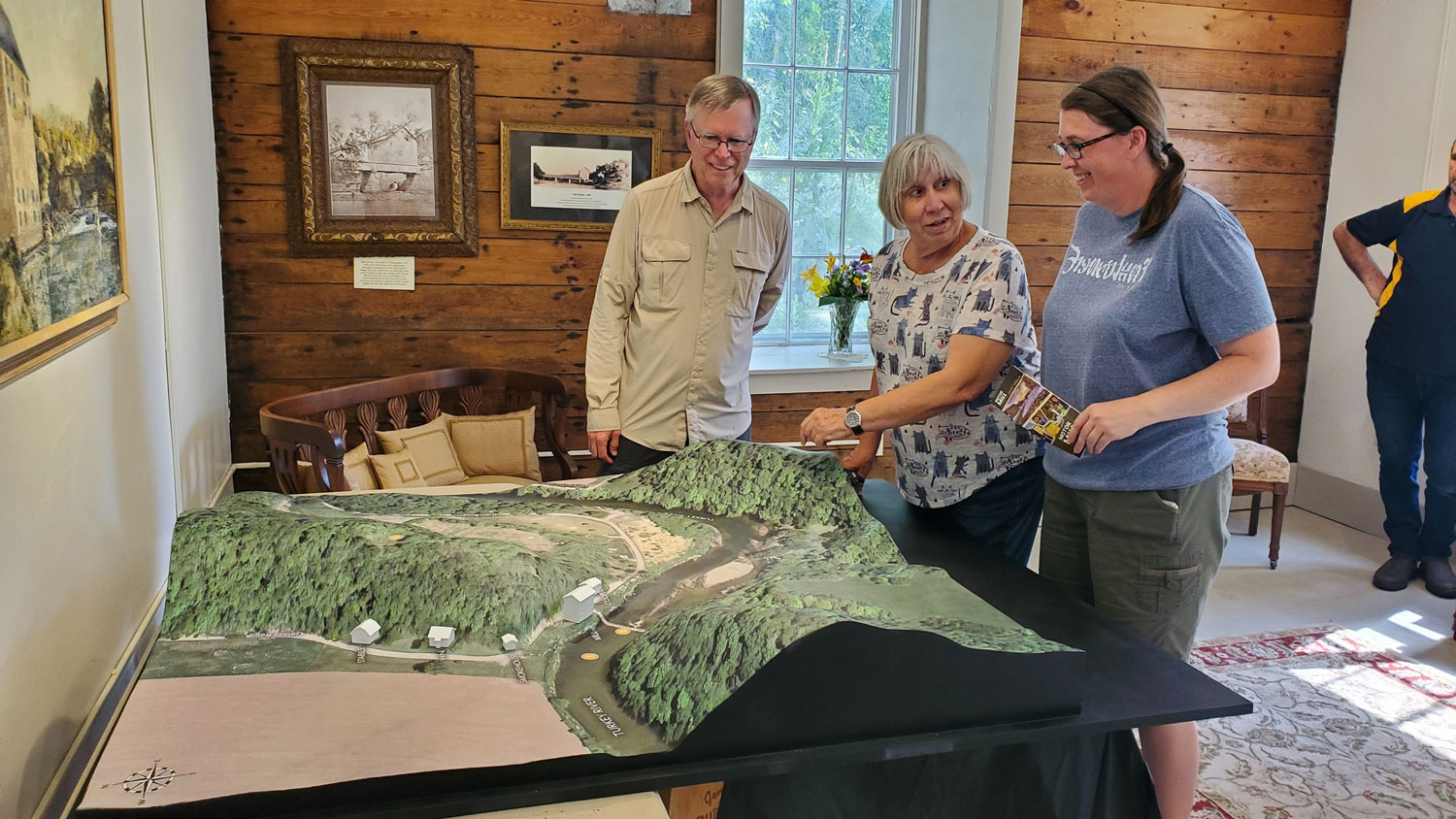
At Motor Mill Historic Site, the landscape is part of the story. WhiteClouds created a physical raised-relief model that places the historic mill setting within the nearby hillsides and river valley, giving visitors an overall view that would be difficult to gather from any single point on the ground.
The mill site shown within the surrounding terrain
The model does more than isolate one building. It follows the slopes around the site, the river corridor, open land, roads, and the relationship between the mill area and its broader setting.
That geographic context matters at a site associated with an 1860s grain mill. The raised terrain helps explain why the river valley and adjacent hills belong in the same physical view as the historic structures.
A shared view for examining the site
The model is presented at table height with room for visitors to gather around it. From that position, viewers can move between the broad landform and the smaller site features without changing displays.
Interpretive panels stand beside the physical terrain model.
Defining a raised-relief model for a historic place
A useful project brief identifies the geographic boundary, the features that need emphasis, the intended viewing distance, the desired footprint, available terrain data, labels or interpretive graphics, display height, destination, and required date.
For a historic site, the physical model and the surrounding interpretation should answer the same question: which relationships are most important for a visitor to see together?
Planning a physical terrain model?
Share the geographic boundary, intended audience, display footprint, terrain data, labels, destination, and required date.