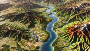
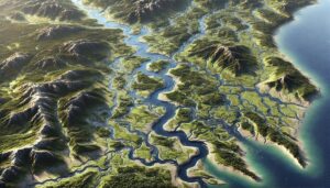
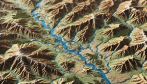
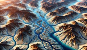
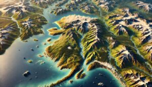
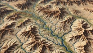
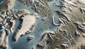
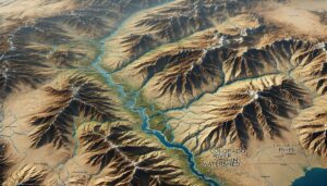
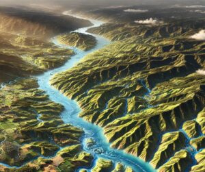
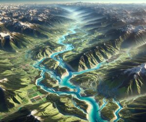
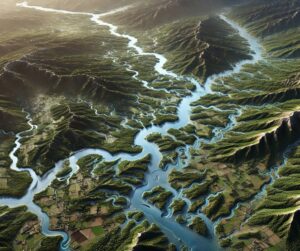
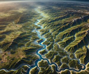
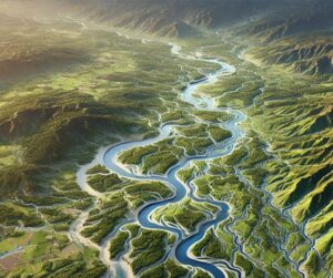
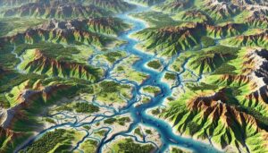
Platte River Watershed Map
Discover the Platte River Watershed, a vital lifeline across the Great Plains. Explore its intricate hydrology, vibrant ecosystems, and key role in agriculture through the Platte River Watershed Map. Learn how 3D mapping innovations transform our understanding and management of this essential system, ensuring sustainable solutions for future challenges like climate change and water resource demands.