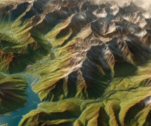
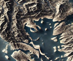
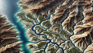
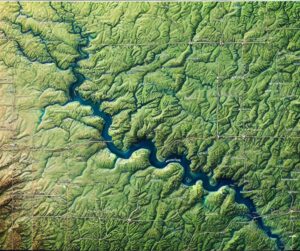
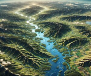
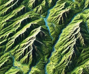
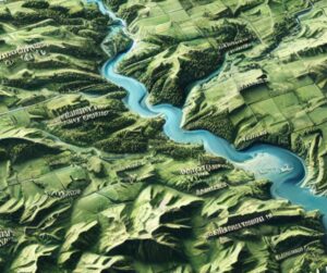
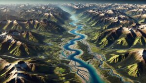
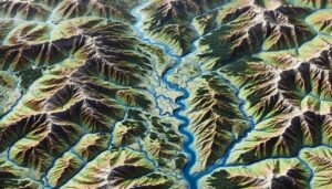
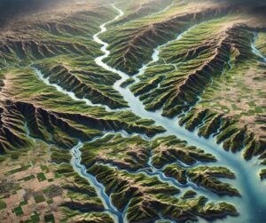
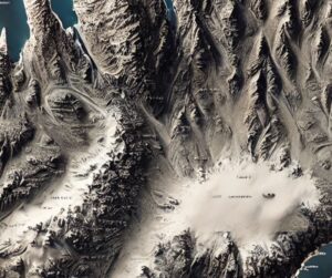
Month: June 2024

Death Valley Watershed Map

Death Valley Watershed Map

Dive into the Death Valley Watershed, one of the driest and most extreme landscapes in North America. Discover how 3D mapping helps manage water resources, predict floods, and preserve the unique ecosystems of this desert region. Learn about the watershed’s vital role in conservation and the challenges it faces from climate change and human development.

Read More »
Krishna River Watershed Map

Krishna River Watershed Map

Discover the Krishna River Watershed, a vital water source for southern India. Learn how 3D mapping technologies track water flow, support conservation, and guide sustainable management. Explore the river’s ecosystems, seasonal changes, and challenges like pollution and climate change, while ensuring its continued role in sustaining agriculture, livelihoods, and the environment across the region.

Read More »

Wyoming Watershed Maps

Discover the complex water systems of Wyoming through detailed watershed maps. Learn how 3D mapping technology helps manage resources, protect ecosystems, and plan for sustainable water use. Explore the role these maps play in flood management, water quality, and climate resilience across the state.

Read More »
Cambodia Watershed Maps

Cambodia Watershed Maps

Cambodia’s watershed maps are vital for managing water resources, predicting flood risks, and ensuring sustainable water use. These maps help allocate water for agriculture, industry, and communities, while also guiding flood prevention strategies. By monitoring river systems, water quality, and climate impacts, they are crucial for maintaining water security and adapting to the challenges of climate change, ensuring long-term sustainability.

Read More »
Volta River Watershed Map

Volta River Watershed Map

Discover the Volta River Watershed, a vital water source in West Africa. Learn how 3D mapping technologies track water flow, support conservation, and guide sustainable management. Explore the region’s diverse landscapes, seasonal changes, and the essential role of its river systems in sustaining life, agriculture, and the economy, while addressing challenges like pollution, water scarcity, and climate change.

Read More »

Altamaha River Watershed Map

Discover the Altamaha River Watershed, a vital lifeline for Georgia’s ecosystems, agriculture, and communities. Explore its intricate waterways, rich biodiversity, and cultural significance. Learn how stunning 3D maps bring its geography to life, addressing challenges like climate change and habitat loss while preserving its natural beauty and resources for future generations.

Read More »
Tualatin River Watershed Map

Tualatin River Watershed Map

Explore the Tualatin River Watershed Map, revealing the river’s dynamic flow, diverse ecosystems, and human influence. Dive into the intricate geography, hydrology, and conservation efforts, brought to life with cutting-edge 3D mapping technology. This tool guides sustainable management, ensuring the watershed’s health and resilience for future generations.

Read More »
Vistula River Watershed Map

Vistula River Watershed Map

Discover the Vistula River Watershed, Poland’s lifeline for water, agriculture, and ecosystems. Learn how advanced 3D mapping technologies track its flow, support biodiversity, and guide sustainable water management. Explore the challenges it faces from climate change and human activity, and the innovative solutions that ensure the Vistula River’s health and resilience for future generations.

Read More »
Great Lakes Basin Watershed Maps

Great Lakes Basin Watershed Maps

Dive into the heart of the Great Lakes Basin Watershed, exploring its diverse ecosystems, intricate water systems, and the human impact on this vital freshwater resource. Discover how advanced 3D mapping is unlocking new insights into the region’s complex geography and helping to shape a sustainable future for one of the largest freshwater systems in the world.

Read More »

Get a Free Quote on a Custom 3D Billboard

Get a Free Quote