
Skagit River Watershed Map
Geography and Uses of Skagit River Watershed Maps
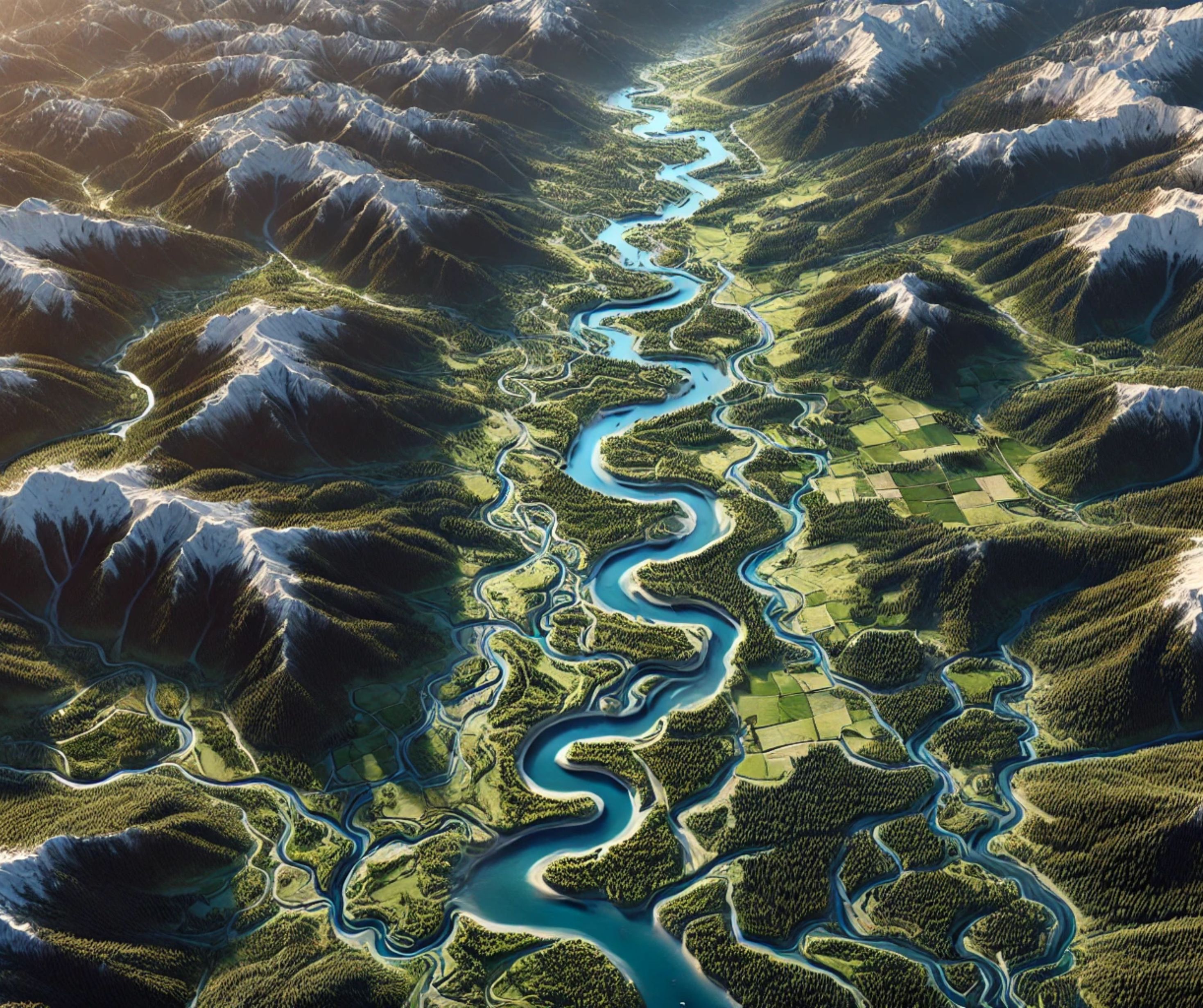
The Skagit River Watershed, spanning over 3,000 square miles in Washington State and southern British Columbia, is one of the most ecologically diverse and vital watersheds in North America. Anchored by the Skagit River, which flows 150 miles from the Cascade Mountains to Puget Sound, this watershed sustains thriving ecosystems, supports agriculture, and serves as a cultural cornerstone for Indigenous peoples and local communities. A detailed Skagit River Watershed map provides a fascinating glimpse into the intricate network of waterways, landscapes, and challenges that define this remarkable region.
Tracing the Skagit River Watershed: From Mountain Peaks to Coastal Estuaries
The Skagit River originates in British Columbia’s Cascade Mountains, flowing southward into Washington State. Along its course, the river collects water from numerous tributaries, including the Sauk, Baker, and Cascade Rivers, creating a hydrological network that connects glacial headwaters to fertile floodplains and coastal estuaries.
The watershed includes diverse terrains, from the rugged peaks and glaciers of North Cascades National Park to the lowland farms and wetlands of the Skagit Valley. It empties into Puget Sound, where its estuarine environment supports rich marine ecosystems and migratory bird populations.
Maps of the Skagit River Watershed reveal its dynamic topography, illustrating how the river and its tributaries traverse forested slopes, alpine meadows, and agricultural fields before merging with the sea. These maps are critical tools for understanding the flow of water, sediments, and nutrients through the system.
Ecological Richness of the Skagit River Watershed
The Skagit River Watershed is a biodiversity hotspot, home to an array of ecosystems that support diverse species. It is one of the few rivers in the United States that hosts all five species of Pacific salmon: Chinook, Coho, Chum, Sockeye, and Pink. These salmon runs are vital not only to the river’s ecosystem but also to the culture and economy of the region.
Riparian zones along the river provide habitats for wildlife such as bald eagles, black bears, and river otters. The watershed’s wetlands and estuaries are crucial for migratory birds, including snow geese and trumpeter swans, which rely on these areas for feeding and breeding.
The Skagit River also plays a significant role in maintaining the health of Puget Sound, as its waters influence the salinity, sedimentation, and nutrient balance of the estuarine ecosystem. Watershed maps help conservationists identify key habitats and prioritize restoration efforts to ensure the survival of these species and their environments.
The Skagit River Watershed’s Role in Economy and Culture
The Skagit River Watershed is a linchpin of the Pacific Northwest’s economy, supporting agriculture, hydropower, and tourism. Its fertile floodplains produce crops such as tulips, berries, and vegetables, making the Skagit Valley a critical agricultural hub. The river also provides irrigation and sustains livestock operations.
Hydropower dams along the Skagit, including the Ross, Diablo, and Gorge dams, generate renewable energy for Seattle and surrounding areas. These dams also create reservoirs that support recreation, such as fishing, boating, and hiking.
Culturally, the Skagit River has been a lifeline for Indigenous peoples for thousands of years. Tribes like the Swinomish and Upper Skagit depend on the river for food, spiritual practices, and traditional knowledge. Today, the river continues to inspire art, literature, and community events, reflecting its importance to the region’s identity.
Challenges Facing the Skagit River Watershed
The Skagit River Watershed faces numerous challenges, many of which are exacerbated by climate change and human activities. Dams and levees have altered the natural flow of the river, impacting fish migration and sediment transport. Urbanization and agricultural runoff contribute to water pollution, affecting the health of aquatic ecosystems.
Climate change poses significant risks, with rising temperatures threatening salmon spawning habitats and reduced snowpack affecting the river’s flow. Increased flooding and sea level rise also endanger low-lying areas and estuarine ecosystems.
Invasive species, such as Japanese knotweed and New Zealand mud snails, disrupt native habitats and outcompete local species. Watershed maps are invaluable for addressing these issues, providing detailed insights into areas at risk and guiding strategies for restoration and sustainable management.
Planning a Physical Skagit River Watershed Model
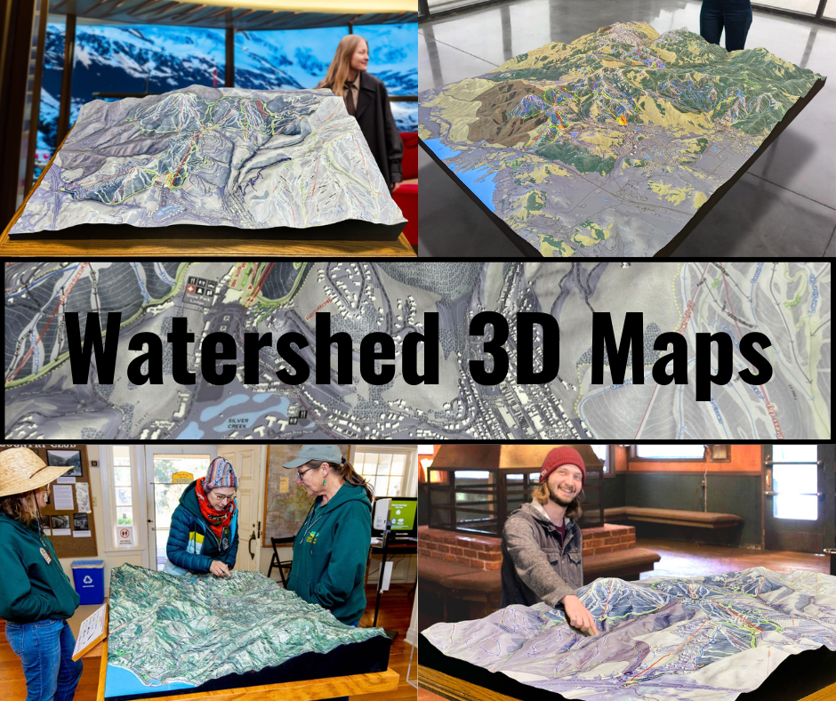
A physical watershed model can clarify the relationship among mountain headwaters, tributaries, floodplains, and coastal areas. The map extent, elevation data, scale, vertical exaggeration, labels, and display orientation should be selected for the audience and the question the model needs to support.
Keeping the Model Tied to the Skagit Watershed
Project planning should use Skagit-specific source data and approved geographic boundaries. Materials, production method, coatings, and finish depend on the intended handling and display conditions; they should not be copied from an unrelated watershed example.
Check out WhiteClouds' 3D Maps for more information on Skagit River watershed maps.
Custom project planning: For a physical model of the Skagit River Watershed, review WhiteClouds' custom topographical model capabilities and 3D topographical model gallery. Geographic extent, elevation data, tributary labels, scale, relief, and display purpose should be defined for the individual map.
Related topographical model resources
Explore WhiteClouds services and completed-project examples related to custom topographical models and watershed displays.
Custom 3D Map Quote
Share the size, placement, finish, timing, and reference files available for your project.