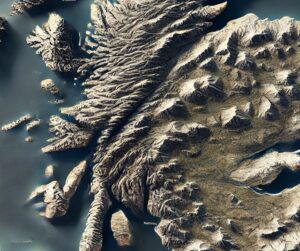
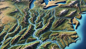
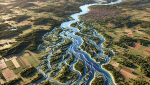
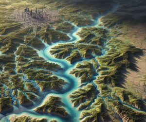
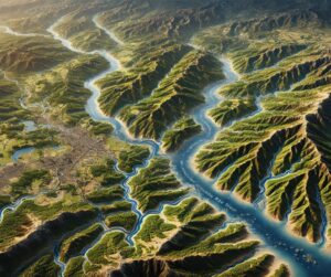
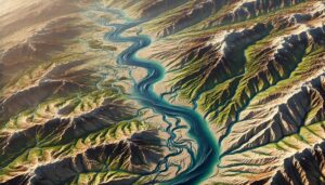
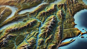
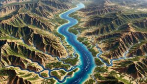
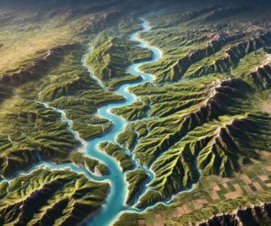
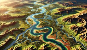
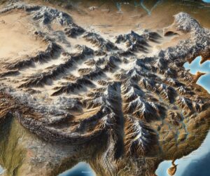
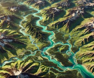
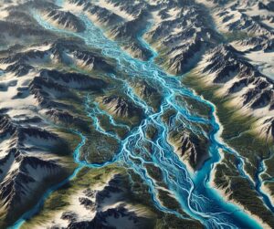
Month: June 2024

Mississippi River Basin Watershed Maps

Mississippi River Basin Watershed Maps

Dive into the heart of America with a journey through the Mississippi River Basin Watershed. Discover the complex water systems, ecological wonders, and the challenges posed by human activity, all through the lens of detailed maps. Uncover how advanced 3D mapping is shaping the future of this vital region and its ecosystems, offering a deeper understanding of its mysteries.

Read More »
Upper Colorado River Watershed Map

Upper Colorado River Watershed Map

Discover the Upper Colorado River Watershed, a vital water system in the American West. Learn how 3D mapping technology enhances water management, flood prediction, and conservation efforts. Explore its role in sustaining ecosystems, agriculture, and local communities, ensuring the river system’s long-term health and resilience for future generations.

Read More »
Bear River Watershed Map

Bear River Watershed Map

Discover the Bear River Watershed, a vital hydrological system flowing through Utah, Idaho, and Wyoming. Explore its diverse ecosystems, unique path to the Great Salt Lake, and how 3D mapping innovations transform our understanding of this essential resource. From sustaining wildlife to supporting agriculture, the Bear River Watershed Map highlights the region’s ecological and human connections, fostering sustainable management and conservation.

Read More »
Kootenai River Watershed Map-head

Kootenai River Watershed Map

Explore the Kootenai River Watershed, a transboundary marvel in the Northern Rockies. From its pristine rivers to diverse ecosystems, discover how advanced mapping tools, including 3D technologies like those used for the Green River, reveal the intricate dynamics of water, terrain, and life. Gain insights into conservation, hydrology, and the future of environmental stewardship.

Read More »
Missouri River-White River Watershed Map

Missouri River-White River Watershed Map

Discover the Missouri River-White River Watershed Map, unlocking the secrets of two of America’s most vital rivers. Explore their intricate ecosystems, seasonal hydrology, and human influence, all brought to life with cutting-edge 3D mapping technology. This powerful tool guides sustainable water management and conservation, ensuring the health and future of these essential water systems for generations to come.

Read More »
Hudson Bay Basin Watershed Map

Hudson Bay Basin Watershed Map

Dive into the Hudson Bay Basin, a vast and vital water system in northern Canada. Discover how advanced 3D mapping technologies help manage its rivers, ecosystems, and water resources. Explore its unique biodiversity, seasonal dynamics, and the critical role it plays in shaping the environment, supporting communities, and adapting to climate change in the Arctic.

Read More »
Platte River Watershed Map

Platte River Watershed Map

Discover the Platte River Watershed, a vital lifeline across the Great Plains. Explore its intricate hydrology, vibrant ecosystems, and key role in agriculture through the Platte River Watershed Map. Learn how 3D mapping innovations transform our understanding and management of this essential system, ensuring sustainable solutions for future challenges like climate change and water resource demands.

Read More »
Illinois Watershed Maps

Illinois Watershed Maps

Dive into Illinois’s diverse watersheds, from agricultural plains to river valleys, and discover how 3D mapping technology is transforming water management. Learn how these advanced maps provide crucial insights into water flow, ecosystem health, and sustainable solutions for agriculture, urban growth, and flood control in the Prairie State.

Read More »
Ebro River Watershed Map

Ebro River Watershed Map

Explore the Ebro River Watershed, a vital resource in Spain. Discover its dynamic geography, rich ecosystems, and how advanced 3D mapping technology is revolutionizing sustainable management and conservation, ensuring the river’s health and resources for future generations.

Read More »

St. Marys River Watershed Map

Discover the importance of the St. Marys River Watershed, connecting Lake Superior and Lake Huron. Learn how 3D mapping technology enhances water management, flood prediction, and conservation efforts, ensuring the sustainability of this critical water system. Explore its role in supporting biodiversity, managing resources, and protecting water quality for the environment and local communities.

Read More »

Get a Free Quote on a Custom 3D Billboard

Get a Free Quote