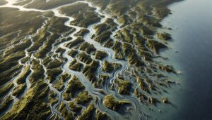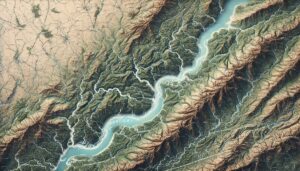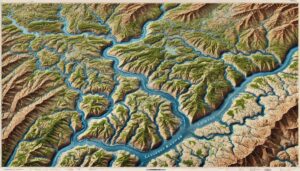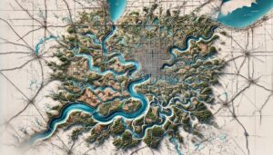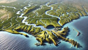
Atchafalaya River Watershed Map
Discover the Atchafalaya River Watershed, one of Louisiana’s most vital ecosystems. Learn how advanced 3D mapping technology helps manage water flow, protect habitats, and tackle challenges like flooding and climate change. Explore its ecological importance and the role these maps play in conservation and sustainable water management.