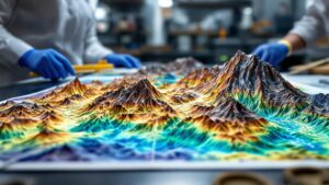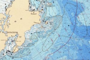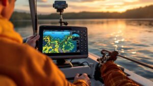
What is a Fishing Map?
A fishing map unlocks the underwater world—revealing where fish hide, feed, and strike. From sonar imaging to depth contours and fish-rich structures, these maps transform any fishing trip into a smart, strategic adventure. Plan better, catch more, and discover the hidden landscape beneath the surface.