The Future of Mapping: WhiteClouds
3D Maps Learning Center Leads the Way

We Build Custom 2D and 3D Maps

Did you know we make

3D raised-relief maps

park city utah ski custom 3d map

and

3D raised-relief maps

ready-made 3D map

With Earth Day just around the corner, it’s the perfect time to celebrate our planet and explore new ways to protect it.  And what better way to do that than by checking out the new WhiteClouds Comprehensive Learning Center for 3D Maps?  This state-of-the-art learning center is packed with resources to help you become an expert on 3D maps, and it’s a fantastic way to learn more about our planet and how we can better understand and protect it.  So why not take a look and see what you can discover?

This state-of-the-art 3D maps learning center is packed with resources to help you become an expert on 3D maps.  Whether you’re a beginner or an experienced professional, you’ll find something of interest here.

The learning center features a wealth of articles on 3D mapping, covering topics such as how to create 3D maps, the various applications of 3D maps, and the technology behind them.  The articles are written by experts in the field and are easy to understand, so you don’t need any technical knowledge to start learning.

Learning Center

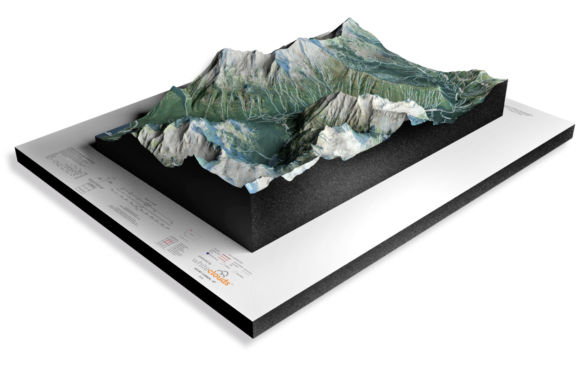
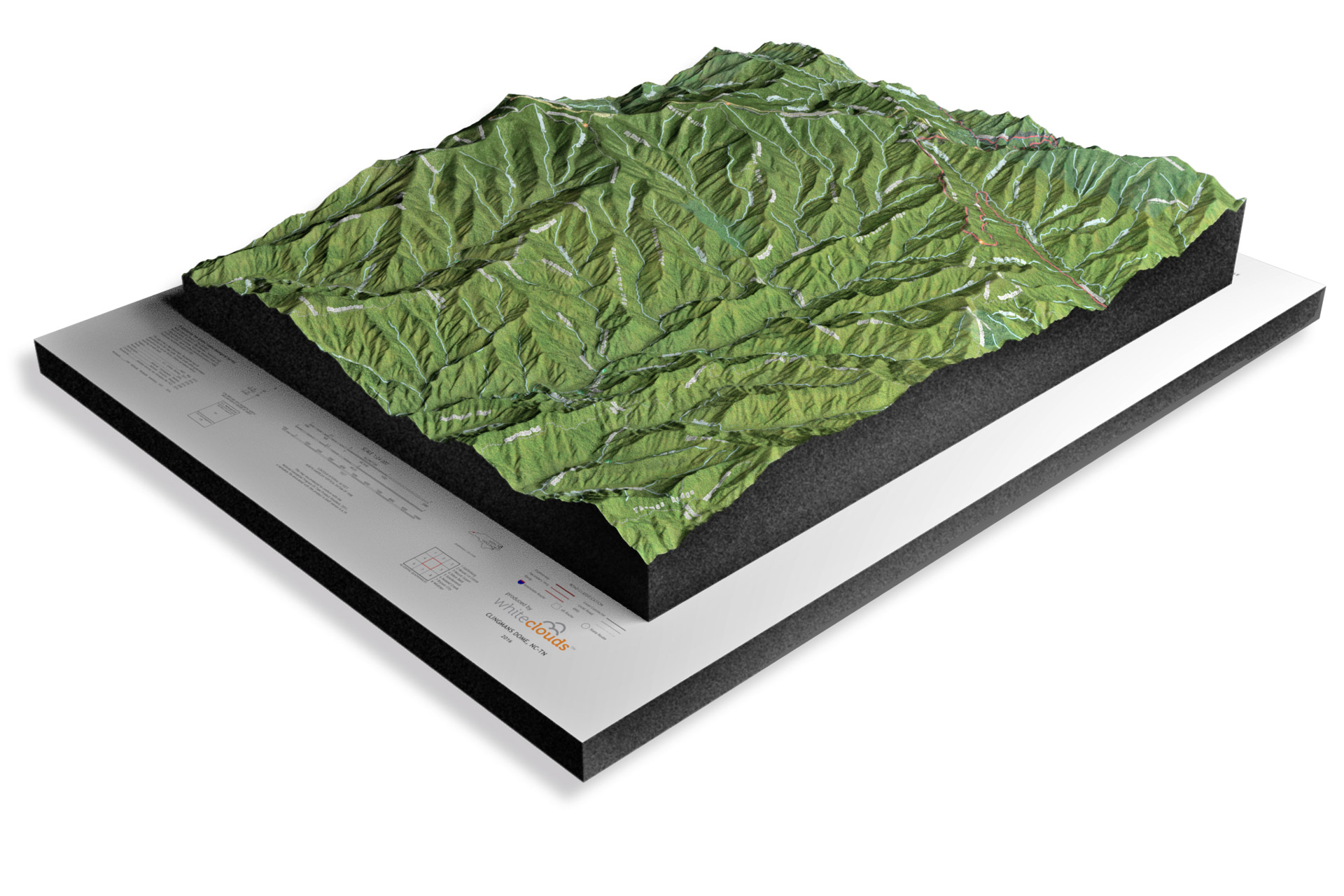
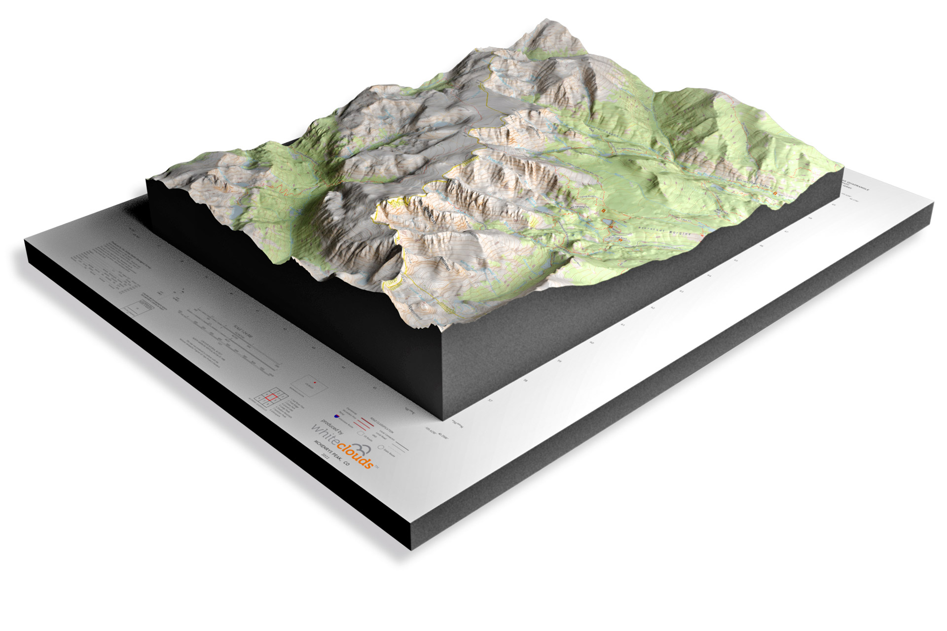
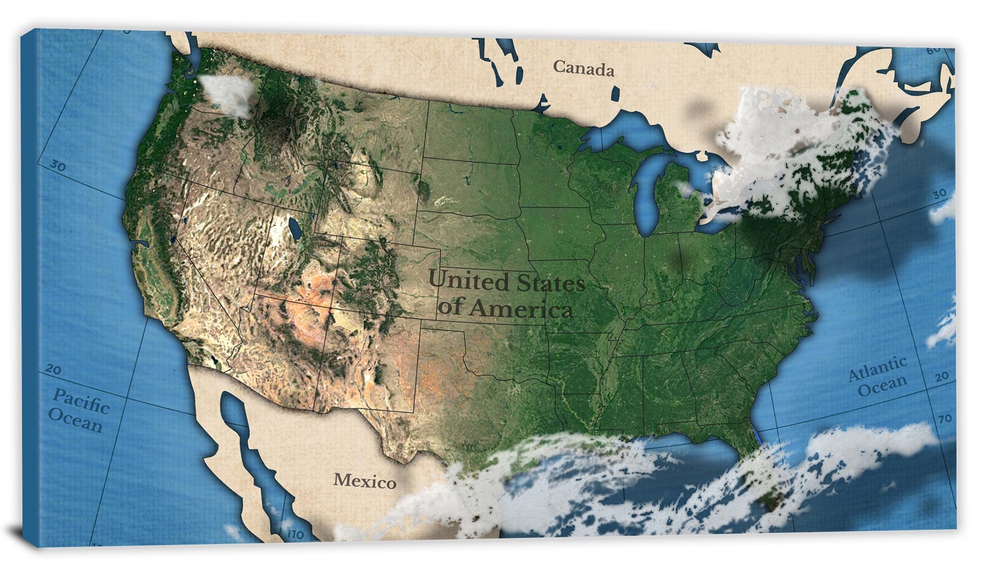
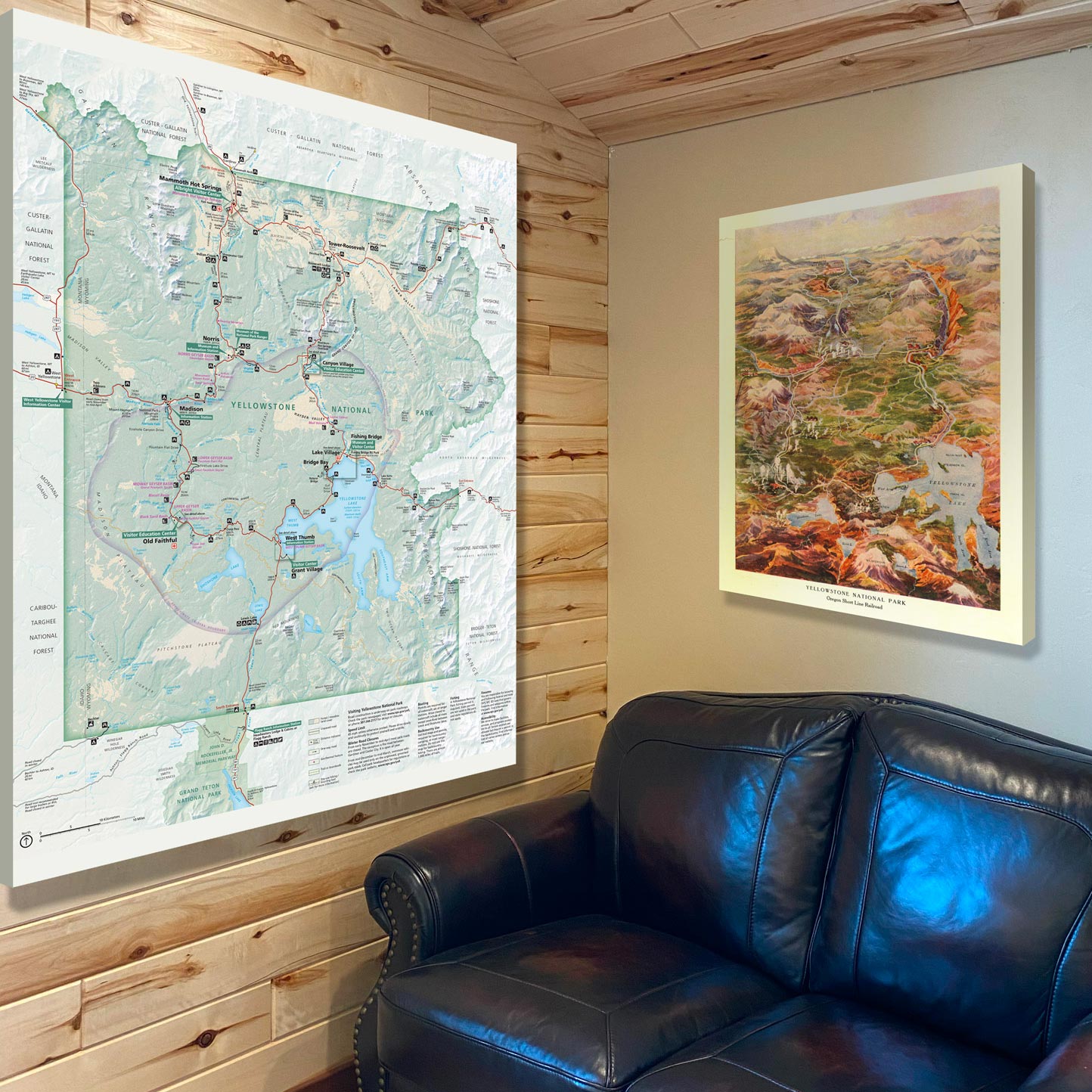
If you’re more of a visual learner, the learning center has a photo gallery with stunning images of completed 3D maps from around the world.  You can also watch videos that explain how 3D maps are made and show real-life examples of their use.

One of the most useful features of the learning center is the glossary.  This is an extensive list of terms related to 3D mapping, with clear definitions that make it easy to understand even the most technical jargon.

The learning center also includes case studies that show how 3D maps have been used in real-life scenarios. These case studies are fascinating and demonstrate the many practical applications of 3D maps.

If you’re looking for more informal content, the learning center has a blog that is regularly updated with news and interesting tidbits about 3D mapping.  You can also find Top 10 lists that cover everything from the most impressive 3D maps to the best tools for creating them.

But that’s not all – the learning center also offers 3D map products and services.  You can browse through a range of 3D maps for sale, from topographic maps to city models.  And if you need help creating your own 3D maps, you can take advantage of the expert 3D mapping services that WhiteClouds offers. 

In short, the WhiteClouds Comprehensive Learning Center for 3D Maps is an incredible resource for anyone interested in 3D mapping. With its diverse range of articles, photo galleries, videos, glossary, case studies, blogs, 3D map products, Top 10 lists, and 3D map services, it’s the perfect place to start your journey to becoming a 3D mapping expert. So why not check it out today and see what you can learn?

Learn more about Maps

  • Topographical Maps:  Representation of the physical features of a region or area.
  • Contour Maps:  Representation of the contours of the land surface or ocean floor.
  • Raised Relief Maps:  Representation of land elevations with raised features indicating landforms.
  • Terrain Maps:  Representation of the physical features of a terrain or landmass.
  • USGS Topographic Maps:  Representation of topographic features and land elevations based on USGS data.
  • USGS Historical Topographic Maps:  Representation of historical topographic maps created by the USGS.
  • Watershed Maps:  Representation of the areas where water flows into a particular river or lake.
  • Elevation Maps:  Representation of land and water elevations with high precision.
  • Physical Maps:  Representation of physical features of the Earth’s surface such as landforms, oceans, and plateaus.
  • Bathymetric Maps:  Representation of the topography and features of the ocean floor.
  • NOAA Maps:  Representation of atmospheric, oceanographic, and environmental data by NOAA.
  • Nautical Maps:  Representation of the underwater features and depth of an area for navigation purposes.
  • Geologic Maps:  Representation of the geologic features of an area such as rock types, faults, and folds. 
  • Satellite Maps:  Representation of earth from high-definition satellite imagery.

 Contact us today to learn more about our services and how we can help you achieve your goals. 

Get a Free Quote

Get a Free Quote