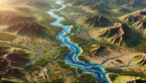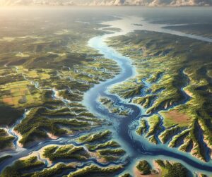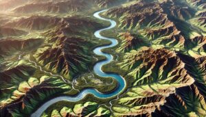
Death Valley Watershed Map
Dive into the Death Valley Watershed, one of the driest and most extreme landscapes in North America. Discover how 3D mapping helps manage water resources, predict floods, and preserve the unique ecosystems of this desert region. Learn about the watershed’s vital role in conservation and the challenges it faces from climate change and human development.