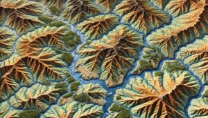
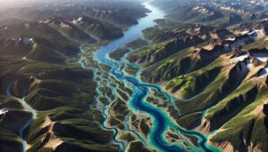
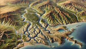
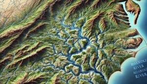
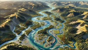
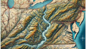
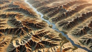
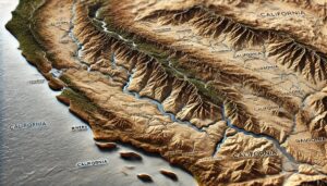
Alabama Watershed Maps
Dive into Alabama’s watersheds, where diverse ecosystems rely on intricate water systems. Discover how 3D mapping technology is transforming our understanding of water flow, improving conservation, and ensuring sustainable water management for future generations. Explore the heart of the Southeast’s hydrology, where every drop counts in sustaining life and the environment.