Peninsulas are unique geographical features that stand as dynamic connectors between land and water. These landmasses, surrounded on most sides by water, have historically been crucial to human settlement, trade, and cultural development. They are the sites of towering cliffs, lush forests, sprawling deserts, and teeming cities, offering a fascinating blend of natural beauty and human activity. From the arid stretches of the Arabian Peninsula to the chilly expanse of the Scandinavian Peninsula, each holds a story of geography, history, and culture that has shaped the lives of those who inhabit it. Here are the top 10 largest peninsulas in the world, ranked by size.
#1: Arabian Peninsula – 1.25 Million Square Miles
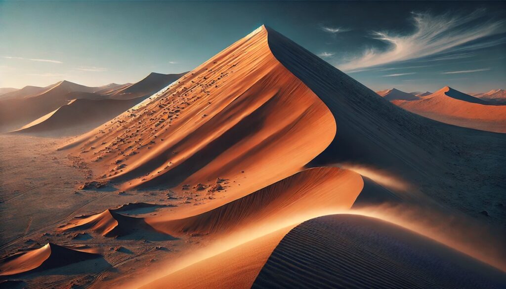
The Arabian Peninsula is the largest peninsula in the world, covering approximately 1.25 million square miles. Situated in the Middle East, it is bordered by the Red Sea to the west, the Arabian Sea to the south, and the Persian Gulf to the east. This vast region is characterized by expansive deserts, rugged mountains, and fertile coastal areas. The Rub’ al Khali, or Empty Quarter, is the largest continuous sand desert in the world and a defining feature of the peninsula.
Historically, the Arabian Peninsula has been a center of trade and culture, serving as a crossroads between Asia, Africa, and Europe. The ancient incense routes and the Islamic pilgrimage routes converge here, creating a rich tapestry of cultural and religious significance. Today, it is home to some of the world’s wealthiest nations, thanks to its vast oil reserves. Anecdotal tales of Bedouin tribes navigating the harsh desert terrain using only the stars add to its mystique. The Arabian Peninsula remains a place of stark contrasts, blending modern urban hubs like Dubai with timeless desert landscapes.
#2: Deccan Peninsula – 800,000 Square Miles
The Deccan Peninsula dominates much of southern India, covering an area of about 800,000 square miles. Bordered by the Eastern and Western Ghats and extending into the Indian Ocean, the Deccan is known for its diverse landscapes, including forests, plateaus, and rolling hills. The region’s fertile soil and river systems, such as the Godavari and Krishna, make it a key agricultural hub.
Rich in history, the Deccan was the seat of several powerful empires, including the Chola, Vijayanagara, and Maratha empires. Stories of ancient trade routes and grand temple constructions are woven into the fabric of its past. Today, the bustling cities of Bengaluru and Hyderabad thrive in the heart of this peninsula, juxtaposed with tranquil hill stations and wildlife sanctuaries. The Deccan’s blend of natural beauty and historical intrigue continues to draw visitors from around the globe.

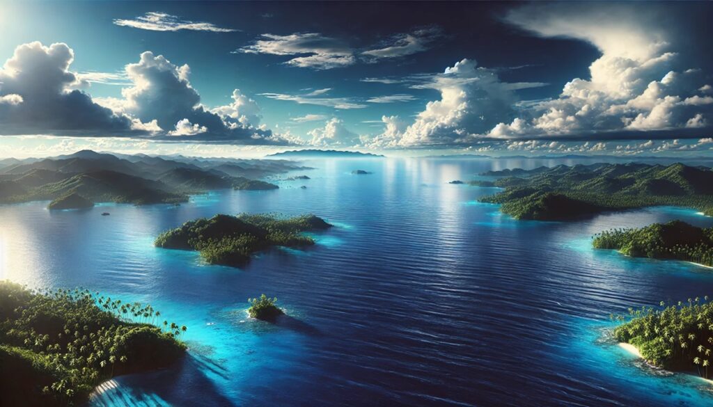
#3: Indochinese Peninsula – 748,000 Square Miles
The Indochinese Peninsula, covering around 748,000 square miles, spans several Southeast Asian countries, including Vietnam, Cambodia, Laos, Thailand, and Myanmar. Its geography is marked by lush tropical forests, winding rivers like the Mekong, and karst mountains that create some of the most striking landscapes in the world.
The peninsula has a tumultuous history, shaped by ancient kingdoms, colonial rule, and modern conflicts. The cultural richness of the region is reflected in its ancient temples, such as Angkor Wat in Cambodia and Bagan in Myanmar. Anecdotes of adventurous traders navigating the dense jungles or fishermen thriving along the peninsula’s extensive coastline add to its allure. Today, the Indochinese Peninsula is a hotspot for tourism, offering everything from vibrant cityscapes to serene beaches.
#4: Horn of Africa – 726,000 Square Miles
The Horn of Africa stretches over 726,000 square miles and juts into the Arabian Sea, encompassing countries like Somalia, Ethiopia, Djibouti, and Eritrea. It is a region of dramatic contrasts, from arid deserts to lush highlands. The rugged Ethiopian Highlands, often referred to as the “Roof of Africa,” are a prominent feature of the peninsula.
The Horn has been a cradle of human civilization, with evidence of some of the earliest human ancestors found in Ethiopia. It also holds a strategic position along the Red Sea, making it a key trade hub throughout history. Anecdotes of ancient maritime routes and tales of nomadic herders add a layer of fascination to its story. Despite modern challenges, the Horn of Africa remains a land of striking beauty and resilience.
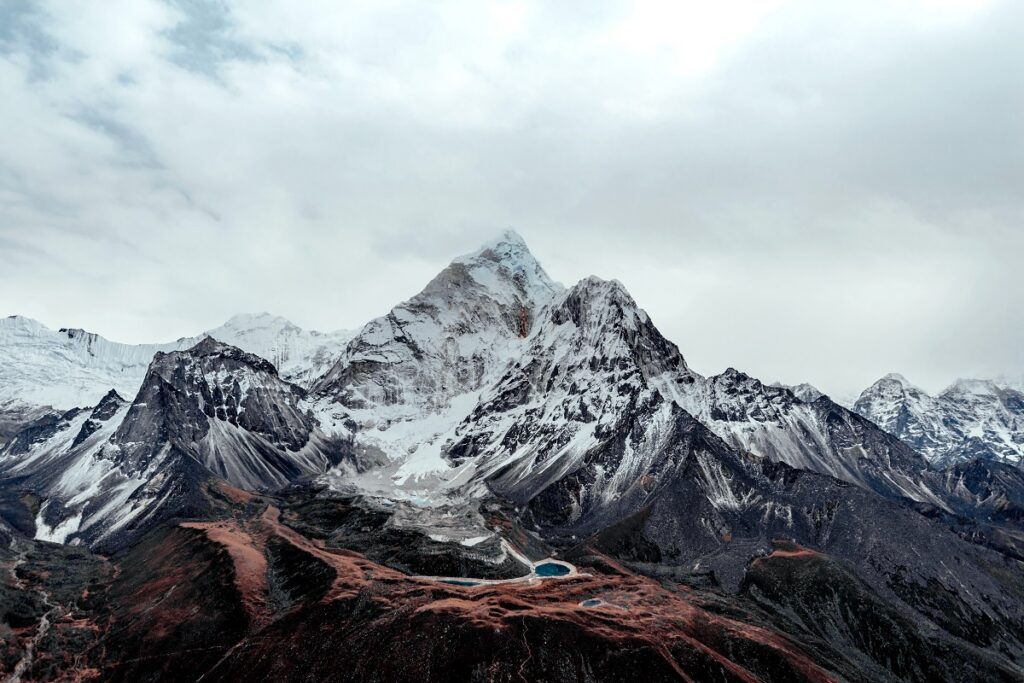
#5: Alaskan Peninsula – 580,000 Square Miles
The Alaskan Peninsula, covering approximately 580,000 square miles, extends from mainland Alaska toward the Aleutian Islands. It is a land of rugged beauty, with towering volcanoes, glacial fjords, and abundant wildlife. The peninsula’s dramatic coastline is a haven for marine life, including whales, sea otters, and puffins.
Historically, the peninsula has been home to Indigenous Alaskan communities who thrived on its rich natural resources. Stories of their connection to the land, hunting techniques, and cultural traditions offer a glimpse into their harmonious relationship with this wild terrain. The Alaskan Peninsula is also renowned for its breathtaking national parks, such as Katmai, known for its brown bear population.
#6: Labrador Peninsula – 540,000 Square Miles
The Labrador Peninsula in Canada spans 540,000 square miles and is defined by its rugged terrain, boreal forests, and glacial lakes. Bordered by the Atlantic Ocean, Hudson Bay, and the Labrador Sea, it is a region of pristine wilderness and striking natural beauty.
The peninsula’s history is tied to the Indigenous Inuit and First Nations peoples who have lived there for millennia. Tales of European explorers navigating its treacherous coastline and fur traders seeking their fortunes add to its mystique. Today, it remains a destination for adventurers seeking untouched landscapes and outdoor activities like fishing and hiking.
#7: Scandinavian Peninsula – 456,000 Square Miles
The Scandinavian Peninsula, covering 456,000 square miles, is the largest in Europe and encompasses Norway, Sweden, and part of Finland. It is renowned for its fjords, dense forests, and snowy mountains. The peninsula is also a land of extremes, with the midnight sun in summer and polar nights in winter.
Its history is deeply intertwined with the Vikings, whose tales of exploration and conquest are legendary. Anecdotes of seafaring adventures and icy landscapes dominate the peninsula’s lore. Today, the Scandinavian Peninsula is a blend of natural wonder and modern innovation, offering visitors a unique mix of tradition and cutting-edge culture.
#8: Iberian Peninsula – 225,000 Square Miles
The Iberian Peninsula, covering 225,000 square miles, is shared by Spain and Portugal. It is characterized by its mountainous interior, fertile river valleys, and extensive coastline along the Atlantic Ocean and the Mediterranean Sea. The Pyrenees Mountains form its northern boundary.
Rich in history, the peninsula was home to ancient Iberian tribes, Roman settlements, and Moorish rulers. Stories of explorers like Christopher Columbus embarking from its shores add to its historical significance. The Iberian Peninsula is now celebrated for its vibrant culture, culinary delights, and architectural wonders.
#9: Korean Peninsula – 85,000 Square Miles
The Korean Peninsula, at 85,000 square miles, is situated in East Asia and bordered by the Yellow Sea and the Sea of Japan. It is a land of rolling hills, fertile plains, and dramatic coastlines. The Demilitarized Zone (DMZ) dividing North and South Korea is a striking feature of its geography.
The peninsula’s history is rich with tales of dynastic kingdoms, colonial struggles, and modern resilience. Anecdotes of ancient palaces, traditional festivals, and the enduring spirit of the Korean people highlight its cultural depth. The Korean Peninsula remains a dynamic region of historical and geopolitical significance.
#10: Balkan Peninsula – 257,000 Square Miles
The Balkan Peninsula, at 257,000 square miles, is located in southeastern Europe and bordered by the Adriatic, Aegean, and Black Seas. It is a region of diverse landscapes, including mountains, rivers, and coastal plains. The peninsula has been a crossroads of civilizations, from the ancient Greeks to the Ottomans.
Its history is rich with tales of conquest, cultural exchange, and resilience. Stories of ancient ruins, vibrant traditions, and the enduring influence of its people make the Balkan Peninsula a fascinating destination. Today, it is celebrated for its natural beauty and historical depth.
Peninsulas are where land meets the sea in dramatic and beautiful ways, creating landscapes that captivate the imagination. From the vast Arabian Peninsula to the rugged Alaskan Peninsula, these landforms have shaped human history, culture, and exploration. Each peninsula holds a unique story, reminding us of the interplay between geography and the human experience, and offering endless opportunities for discovery and wonder.