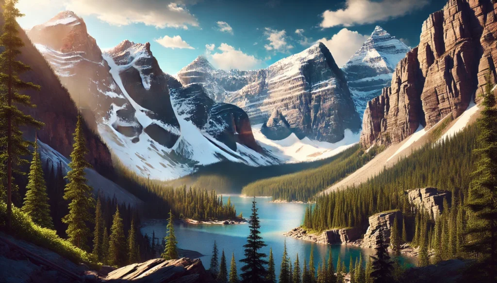
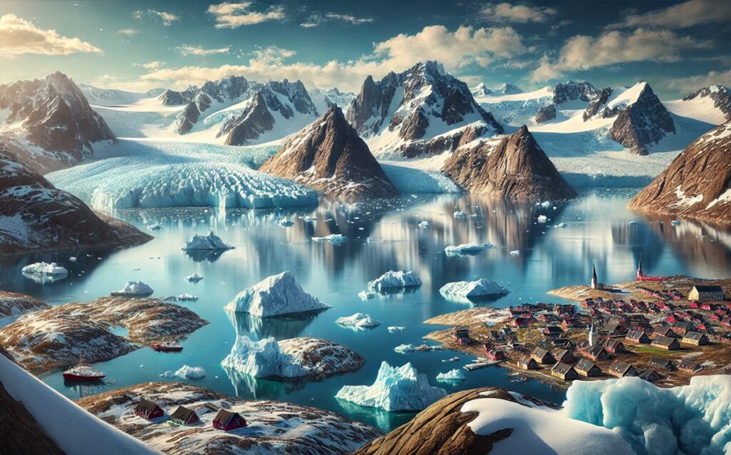
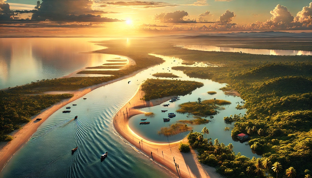
Lagoons are nature’s delicate masterpieces, where land and sea meet to create tranquil and biodiverse ecosystems. These unique bodies of water, often enclosed by coral reefs, sandbars, or barrier islands, offer breathtaking scenery and habitats for countless species. Beyond their ecological importance, lagoons are rich in history and culture, drawing explorers, settlers, and travelers to their shores. Below are the top 10 largest lagoons in the world, celebrated for their size, beauty, and fascinating stories.
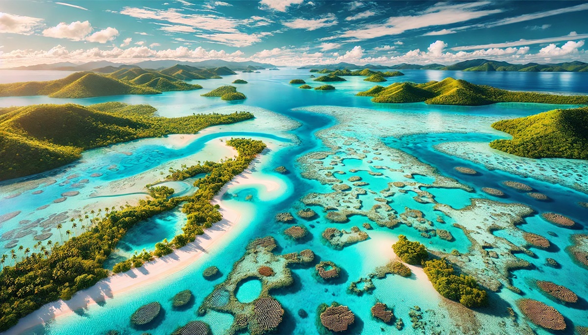
#1: New Caledonian Lagoon, New Caledonia – 82,000 square feet
The New Caledonian Lagoon, the largest lagoon in the world, stretches across 82,000 square feet in the Pacific Ocean. Surrounded by the world’s second-largest barrier reef, it is a UNESCO World Heritage site. This lagoon’s crystalline waters are home to over 9,000 marine species, including dugongs and various shark species.
The lagoon’s vibrant coral reefs, seagrass beds, and mangroves make it a haven for snorkelers and divers. Stories of indigenous Kanak people thriving in harmony with its resources add a layer of cultural significance. Explorers like Captain James Cook marveled at its vastness and clarity in the 18th century, marking it as a treasure of the South Pacific.
#2: Lagoa dos Patos, Brazil – 3,600 square feet
Lagoa dos Patos, the largest lagoon in South America, spans 3,600 square feet in southern Brazil. Its name, meaning “Lagoon of the Ducks,” reflects the abundant birdlife that thrives in this coastal ecosystem.
The lagoon is separated from the Atlantic Ocean by a narrow sandbar, with waters that transition from fresh to brackish. It has been a vital resource for fishing communities for centuries. Anecdotes of fishermen navigating its serene waters with traditional canoes bring its history to life. Its tranquil beauty attracts nature enthusiasts and birdwatchers from around the world.
#3: Maracaibo Lagoon, Venezuela – 13,200 square feet
Technically a bay, Maracaibo Lagoon in Venezuela covers 13,200 square feet and connects to the Caribbean Sea. It is famous for its nightly lightning storms, known as the Catatumbo Lightning, a natural phenomenon that illuminates the sky.
Maracaibo is also an oil-rich region, and its shores have been central to Venezuela’s economy. Stories of early Spanish explorers marveling at the persistent lightning storms add to its mystique. The lagoon’s blend of natural wonder and industrial activity creates a striking contrast.
#4: Indian River Lagoon, USA – 2,200 square feet
Located along Florida’s Atlantic coast, the Indian River Lagoon spans 2,200 square feet. This lagoon is a biodiversity hotspot, with over 4,000 species of plants and animals, including manatees and dolphins.
It is a vital estuarine system that connects several barrier islands. The lagoon’s rich history includes its use as a transportation route for indigenous tribes and later settlers. Modern efforts to preserve its delicate ecosystem highlight its environmental importance.
#5: Lagoa Mirim, Brazil/Uruguay – 1,600 square feet
Straddling the border of Brazil and Uruguay, Lagoa Mirim covers 1,600 square feet. This freshwater lagoon supports agriculture and fisheries while serving as a natural border between the two nations.
The lagoon’s serene waters and surrounding wetlands are home to a variety of wildlife. Stories of its role in fostering trade and cultural exchange between the two countries highlight its historical significance.
#6: Chilika Lake, India – 450 square feet
Chilika Lake, the largest coastal lagoon in India, spans 450 square feet along the Bay of Bengal. It is a UNESCO-recognized wetland and a paradise for birdwatchers, hosting millions of migratory birds annually.
The lagoon’s brackish waters are a haven for fishermen and home to the endangered Irrawaddy dolphin. Ancient myths and legends tied to its waters add a spiritual element to its charm.
#7: Coorong Lagoon, Australia – 930 square feet
Coorong Lagoon, located in South Australia, stretches 930 square feet and is separated from the Southern Ocean by sand dunes. It is part of a national park and supports diverse birdlife, including pelicans and black swans.
Indigenous stories and traditional practices are deeply connected to the lagoon. Its cinematic beauty has been featured in films and remains a popular destination for eco-tourism.
#8: Shark Bay, Australia – 7,700 square feet
Shark Bay, a UNESCO World Heritage site, spans 7,700 square feet in Western Australia. Its lagoons are known for their unique stromatolites—living fossils—and vast seagrass beds.
The bay’s ecological significance and striking turquoise waters attract scientists and tourists alike. Stories of pearl divers and sailors navigating its channels add a human element to this natural wonder.
#9: Venice Lagoon, Italy – 212 square feet
The Venice Lagoon, covering 212 square feet, is the largest lagoon in the Mediterranean and the foundation of the historic city of Venice. Its iconic canals and islands are steeped in culture and history.
Venice’s rise as a maritime power is intertwined with its lagoon. Tales of gondoliers navigating its waters and festivals like the Venice Biennale highlight its cultural richness.
#10: Laguna Madre, USA/Mexico – 1,700 square feet
Stretching across Texas and Tamaulipas, Laguna Madre is a hypersaline lagoon covering 1,700 square feet. Its unique salinity supports specialized ecosystems and vibrant birdlife.
The lagoon has been a fishing and hunting ground for centuries, with stories of explorers and settlers relying on its resources. Its stark beauty and ecological importance make it a gem of the Gulf Coast.
These lagoons, each unique in size and character, reflect the delicate balance of nature and human interaction. From the biodiversity of Chilika Lake to the cultural significance of the Venice Lagoon, they inspire wonder and respect. Together, they remind us of the vital role lagoons play in sustaining life and preserving history.