Prepare to have your mind blown! Satellite maps have completely changed the game in the way we view and engage with our world. It’s all thanks to incredible modern technology that grants us access to jaw-droppingly high-quality satellite images. These mind-blowing images give us a completely accurate representation of our planet’s intricate terrain, geography, and infrastructure. Let’s begin with the different types of satellite maps that exist today. Trust me, there’s so much to explore here!
First, we have aerial photographs. These captivating maps are created using ultra-high-resolution cameras mounted on airplanes that take breathtakingly detailed images of our planet’s surface. They’re used for everything from cartography and urban planning to agriculture and environmental research.
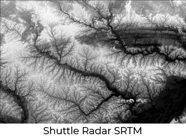
Next, we have satellite imagery. These maps are created by taking jaw-dropping images captured by satellites orbiting our planet. With the ability to capture expansive views of large areas, these maps are ideal for navigation, surveillance, and weather forecasting. They’re so powerful, they can even detect changes in vegetation and ocean currents.
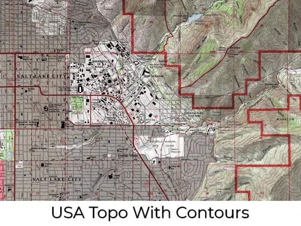
And finally, we have topographic maps. These incredible maps are created by combining satellite imagery with elevation data to produce a three-dimensional model of the terrain. They’re perfect for hikers, mountaineers, and scientists alike, as they provide a detailed view of the land, allowing us to explore and understand the world in an entirely new way.
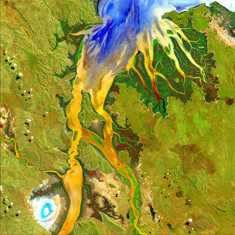
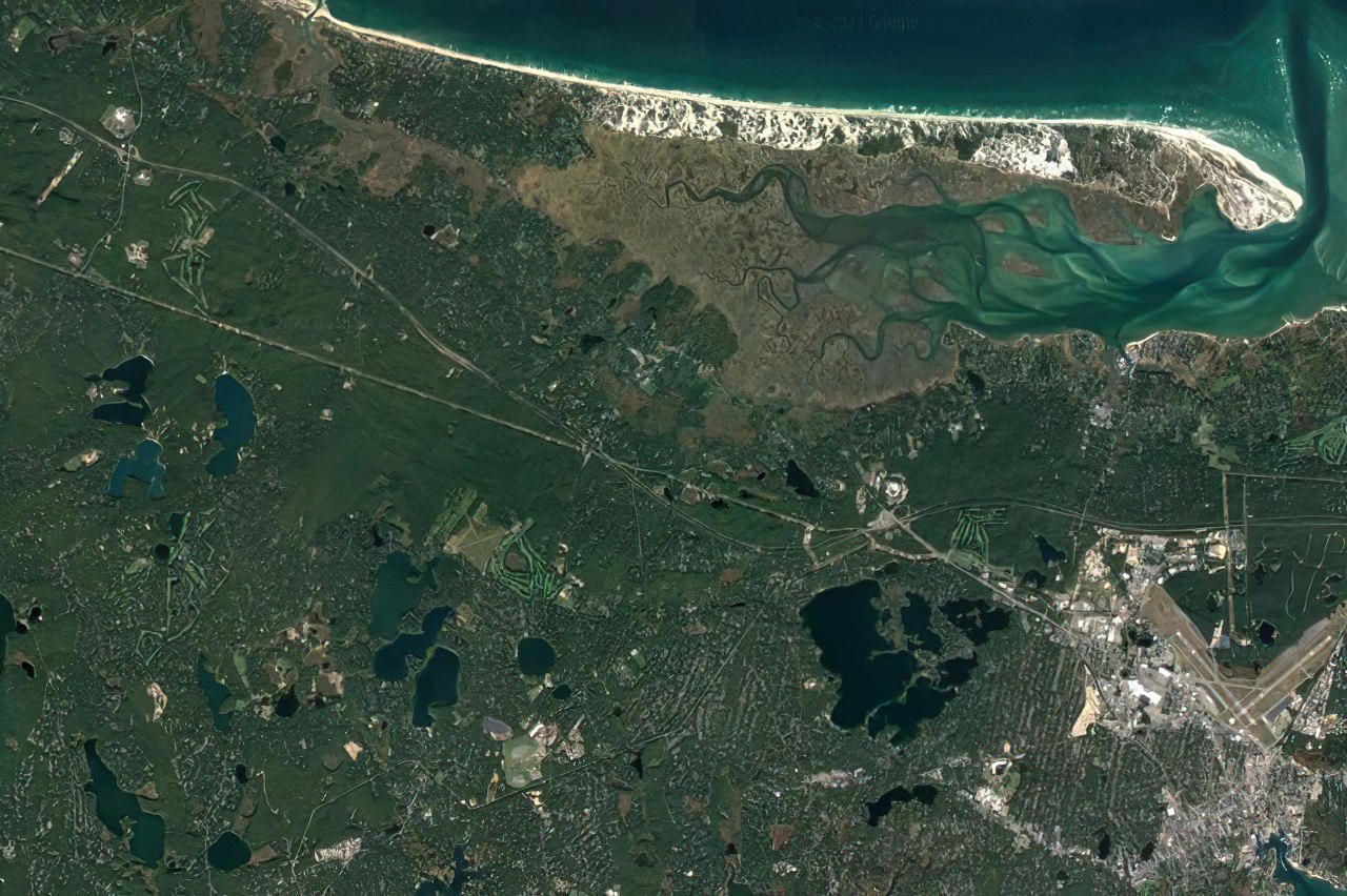
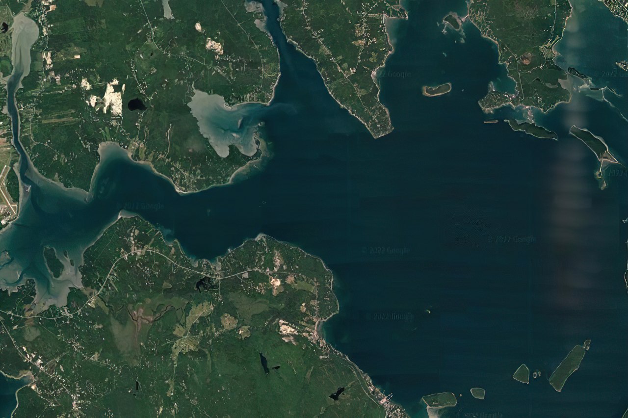
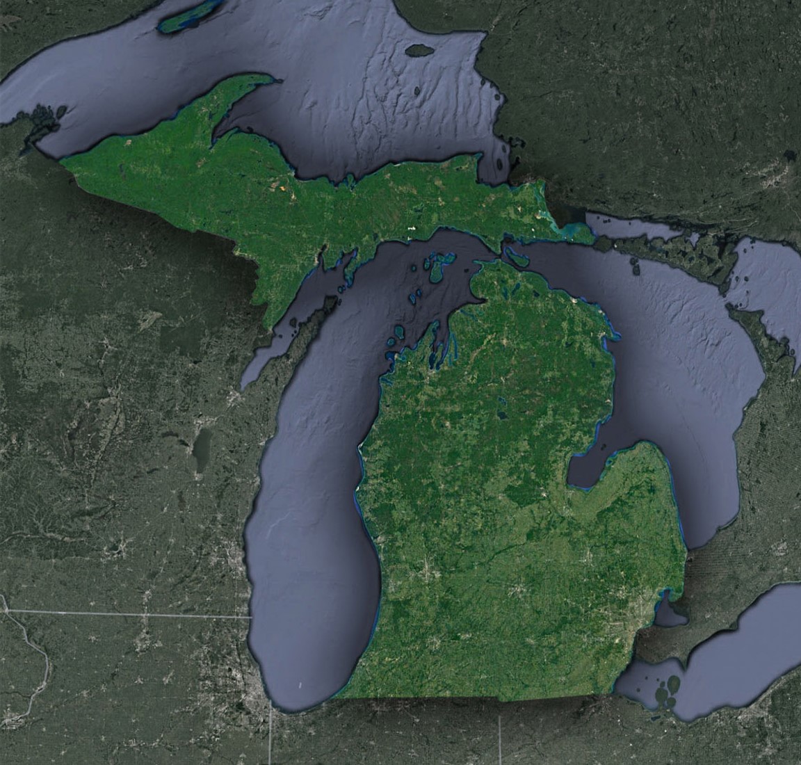
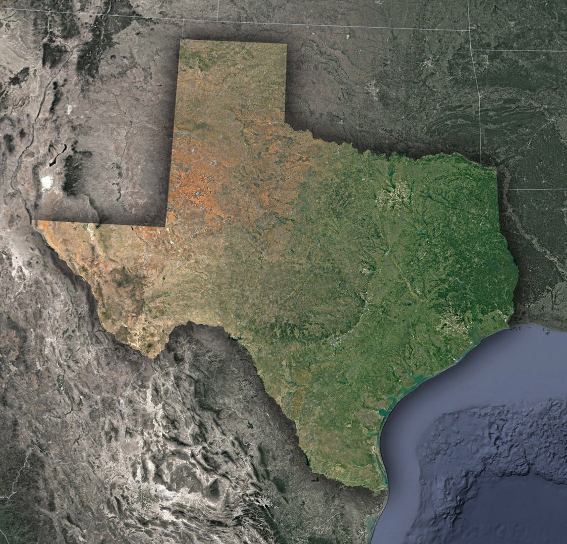
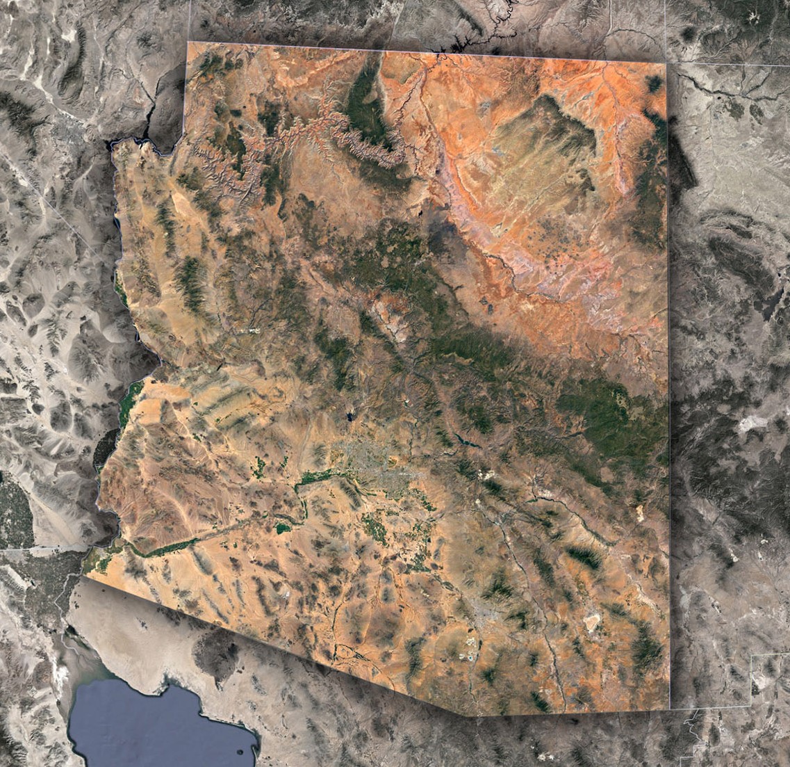
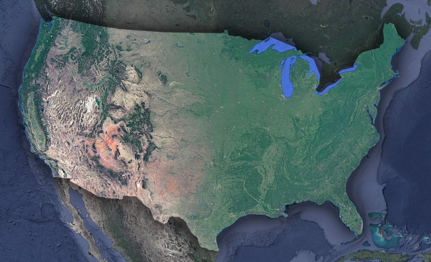 USA Satellite Map
The uses of satellite maps are virtually endless! These powerful tools have the ability to completely transform the way we see and interact with our world. Let’s dive into some of the most exciting and impactful uses of satellite maps.
One of the most obvious uses of satellite maps is navigation. With GPS technology and satellite imagery, we can now navigate through even the most remote locations on the planet with ease. This has made travel and exploration safer, more accessible, and more enjoyable than ever before.
Another exciting use of satellite maps is in the field of agriculture. By using satellite imagery to monitor vegetation and soil moisture, farmers can make more informed decisions about planting, irrigation, and fertilization. This not only increases yields and profits but also helps to conserve water and other resources.
Satellite maps are also used extensively in urban planning and development. By analyzing satellite images, architects, and city planners can gain valuable insights into the layout and infrastructure of cities and towns. This helps them to design more efficient transportation systems, create better green spaces, and optimize the use of land.
In addition to these practical uses, satellite maps have also been invaluable in the fields of disaster relief and environmental research. After natural disasters such as hurricanes and earthquakes, satellite images are used to assess damage, locate survivors, and coordinate relief efforts. Similarly, satellite maps have allowed us to track changes in climate, deforestation, and other environmental concerns, helping us to better understand and address these issues.
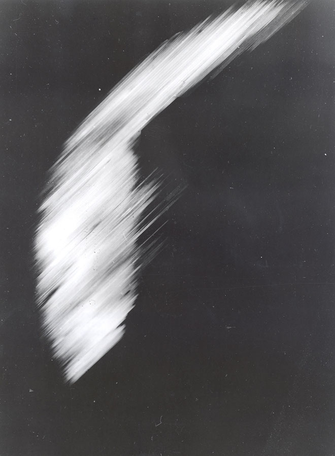
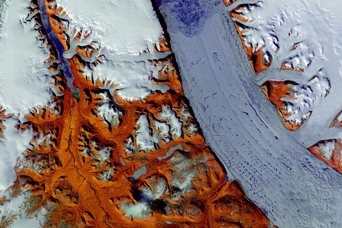 Peterman Glacier in Greenland
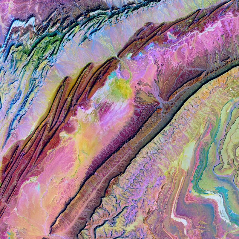
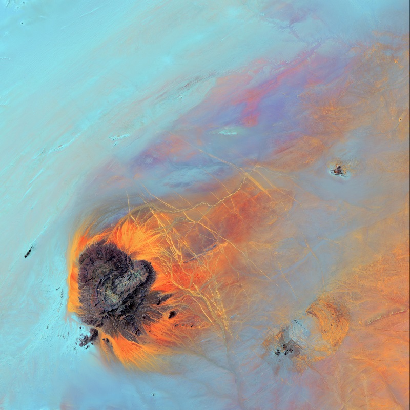
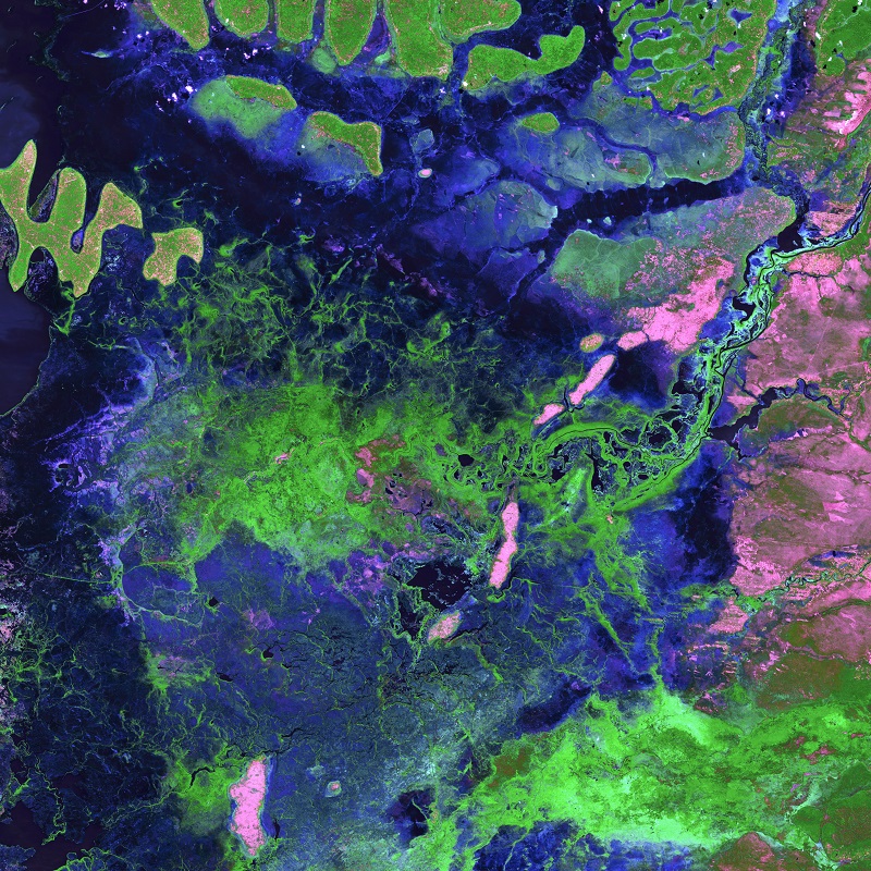
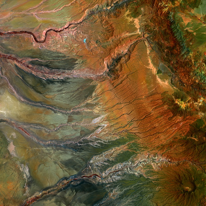
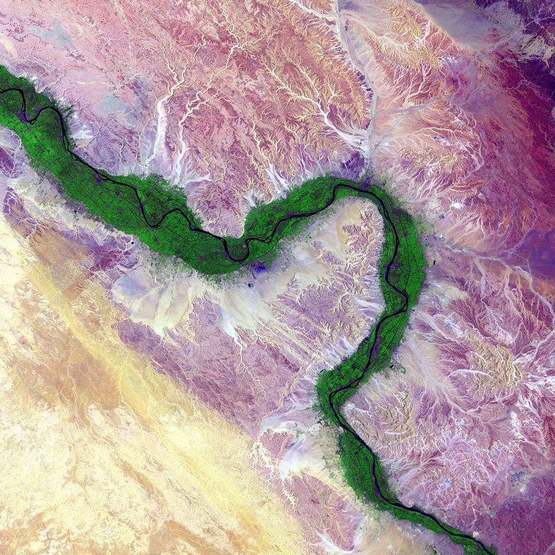
Satellite maps and imagery have not only revolutionized the way we explore and understand our world but have also inspired a new form of artistic expression. From breathtaking landscapes to mesmerizing patterns and shapes, satellite imagery has captured the imagination of artists and designers around the world, resulting in some truly stunning and innovative creations. By transforming raw data into stunning works of art, satellite maps have transcended their original purpose and have become a source of inspiration and beauty that showcases the incredible power of technology to enhance our understanding and appreciation of the world around us.
Satellite maps come in both 3D digital and 3D raised-relief type maps. Let’s explore some of the most exciting and innovative features of satellite maps:
- Zooming and Panning: One of the most impressive features of digital satellite maps is the ability to zoom in and out and pan across the map. We can zoom in and see incredibly precise details of the terrain, buildings, and infrastructure of any location on earth. This allows us to explore and understand the world in ways that were once impossible.
- 3D View: Many satellite maps now offer a 3D view, allowing us to see buildings and landmarks in detail. This feature is particularly useful for urban planning and development, as it allows us to see how buildings fit into the surrounding environment. This is also particularly useful for industries such as mining, construction, and architecture, where accurate 3D models are essential for planning and design.
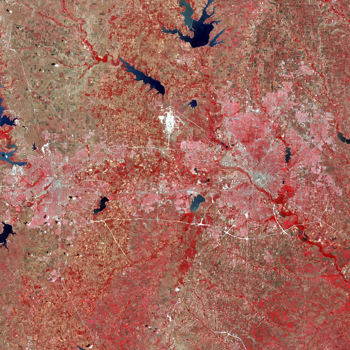
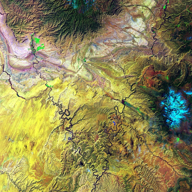
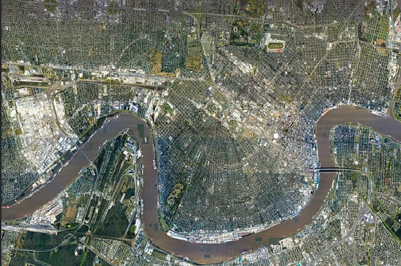
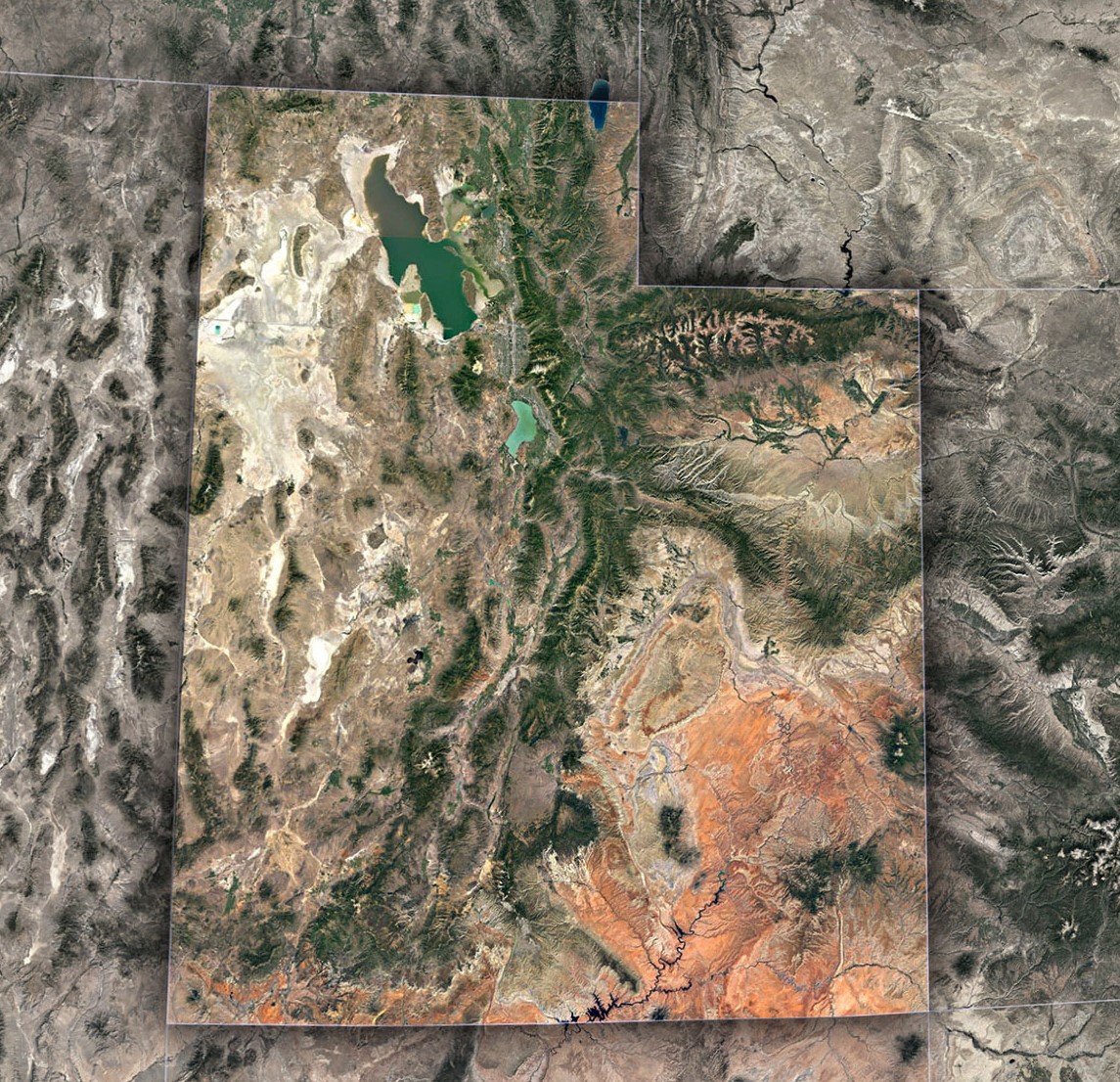
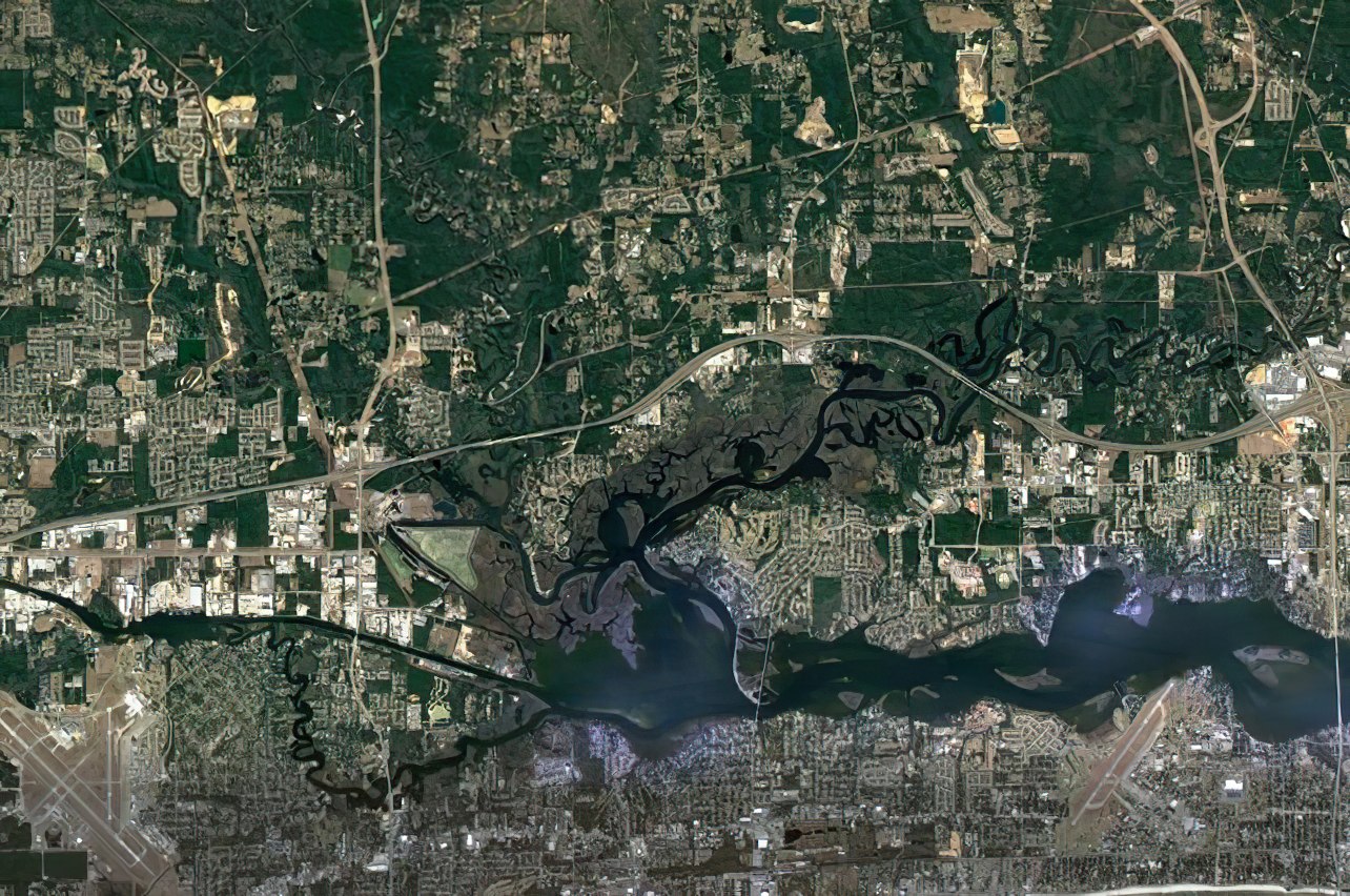 Mississippi Satellite Map
- Real-time Data: Some satellite maps provide real-time data, allowing us to track the movement of natural disasters, weather patterns, and even traffic. This feature is particularly useful for emergency responders, as it allows them to quickly respond to emergencies and save lives.
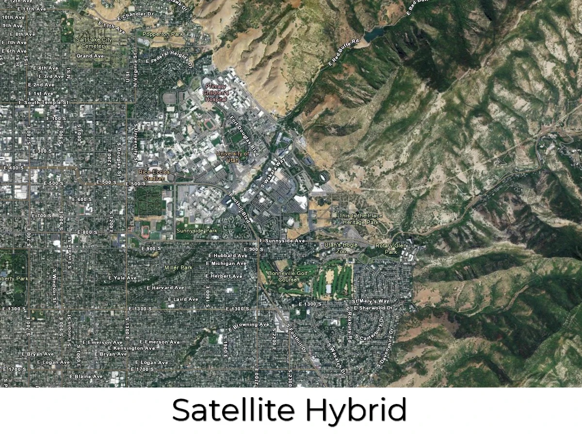
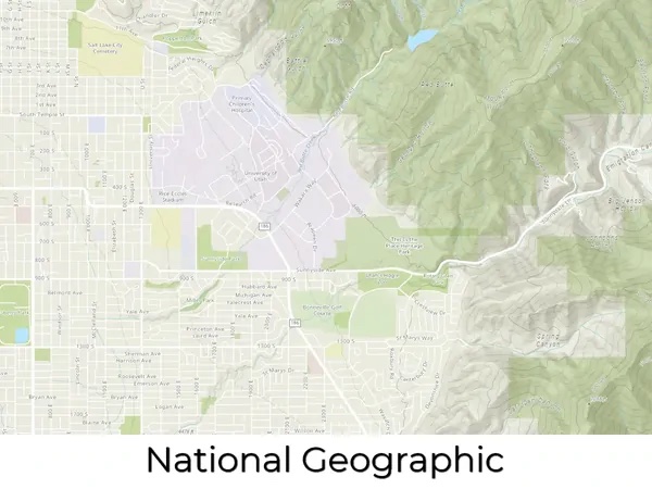
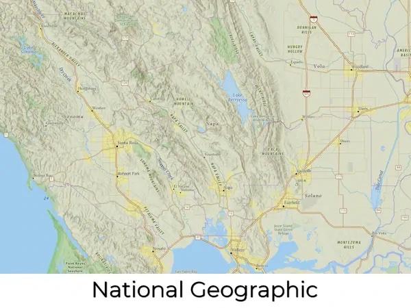
- Overlay Options: Satellite maps often offer a range of overlay options, including street maps, topographic maps, and weather data. This allows us to view different types of information on the same map, providing us with a comprehensive view of a region.
- Measurement Tools: Many satellite maps come with measurement tools, allowing us to calculate distances, areas, and other measurements. This is particularly useful for scientists, urban planners, and architects who need to measure land and building sizes accurately.
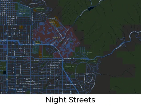
- Customization Options: Satellite maps often come with a range of customization options, allowing us to change the map’s appearance and functionality. For example, we can adjust the map’s colors and contrast, switch between day and night mode, and even choose the type of projection used.
- Analytical Tools: Satellite maps also offer powerful analytical tools that allow us to extract valuable information from the imagery. With advanced algorithms, we can analyze data on everything from population density and land use to traffic patterns and urban sprawl. This information is invaluable for urban planners, policymakers, and researchers, helping them to make informed decisions about the future of our planet.
- Historical Imagery: Another exciting feature of satellite maps is their ability to capture and display changes over time. By comparing satellite images taken at different times, we can track changes in land use, vegetation, and even weather patterns. This is particularly useful in monitoring the effects of climate change and other environmental concerns.
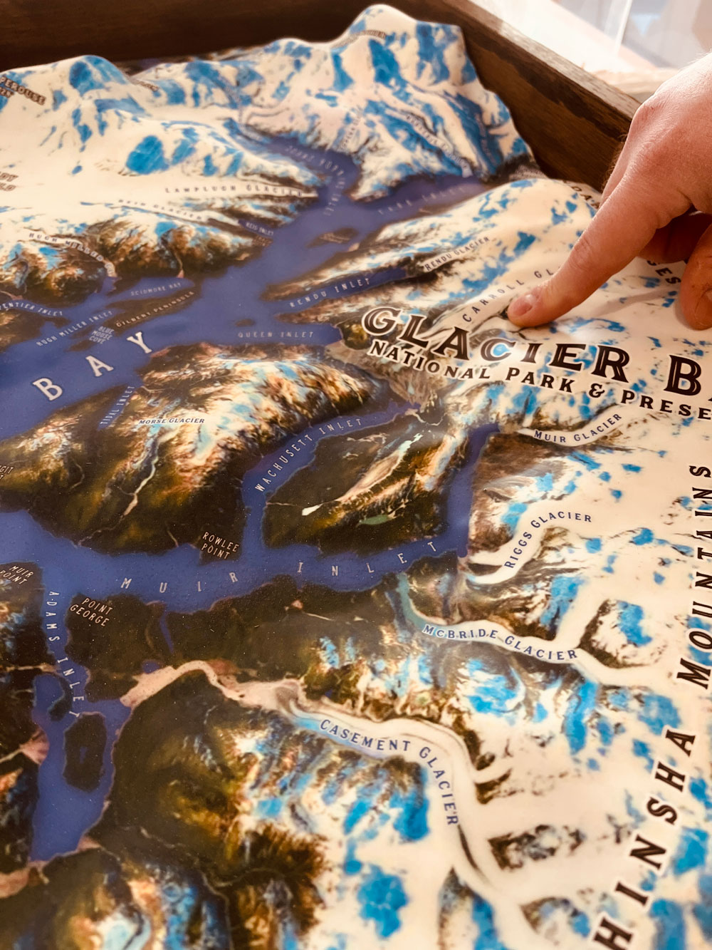
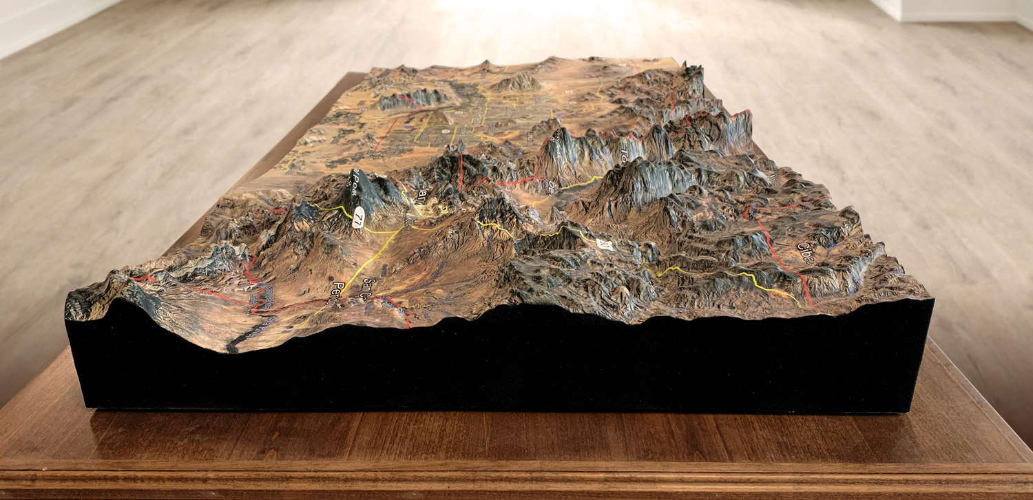
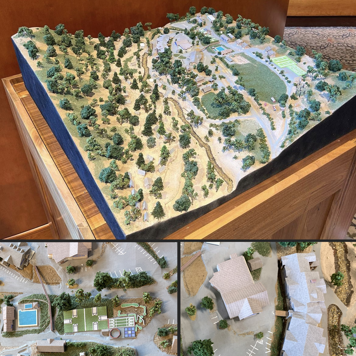
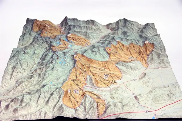
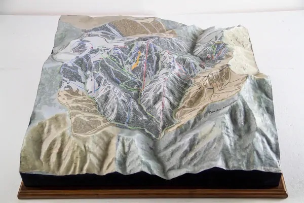
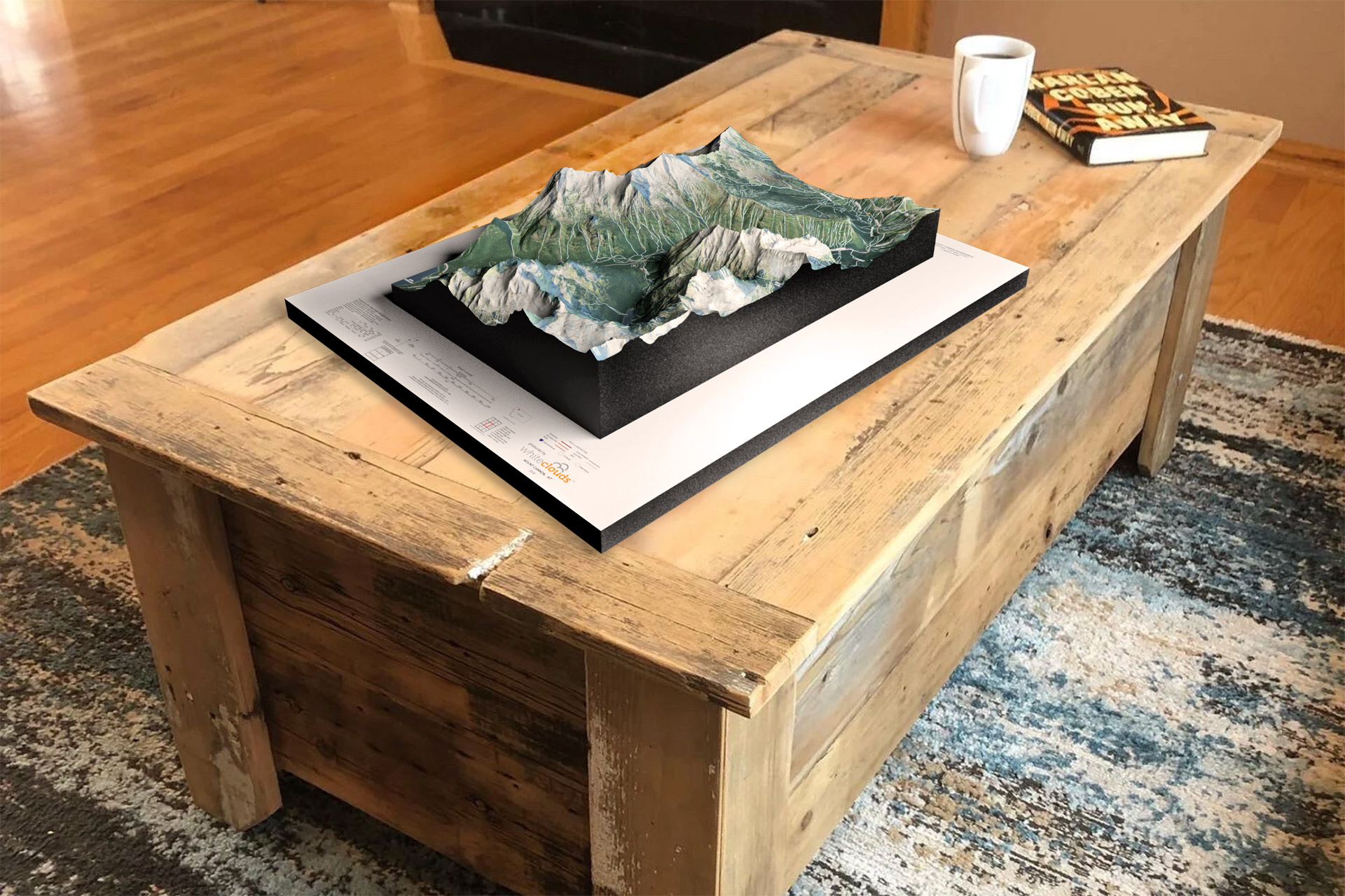
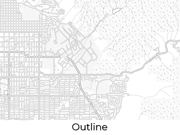
- Conversion from Digital to Raised Relief: Once a satellite map is created digitally, it can be used as the foundation for creating a physical raised-relief model. It changes from a two-dimensional to a three-dimensional object.
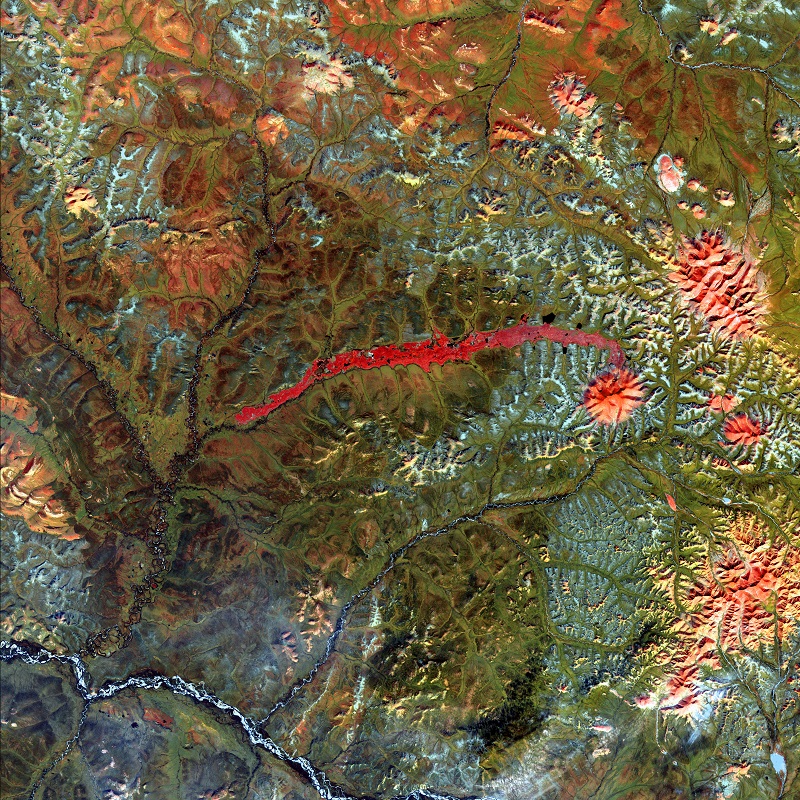
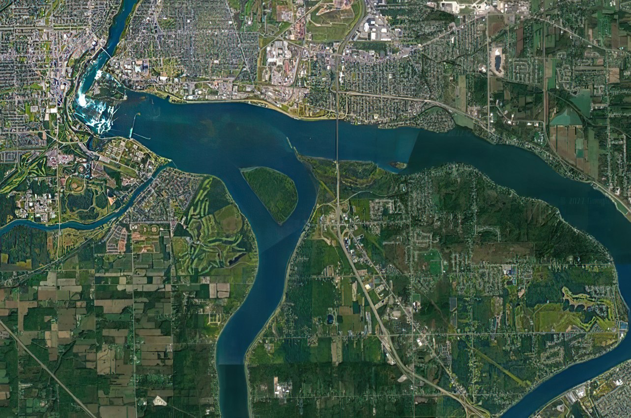
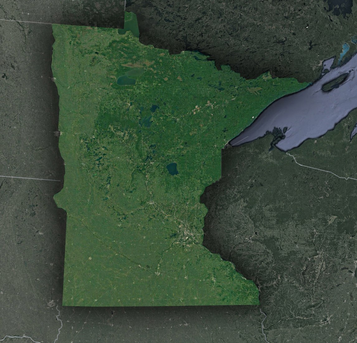
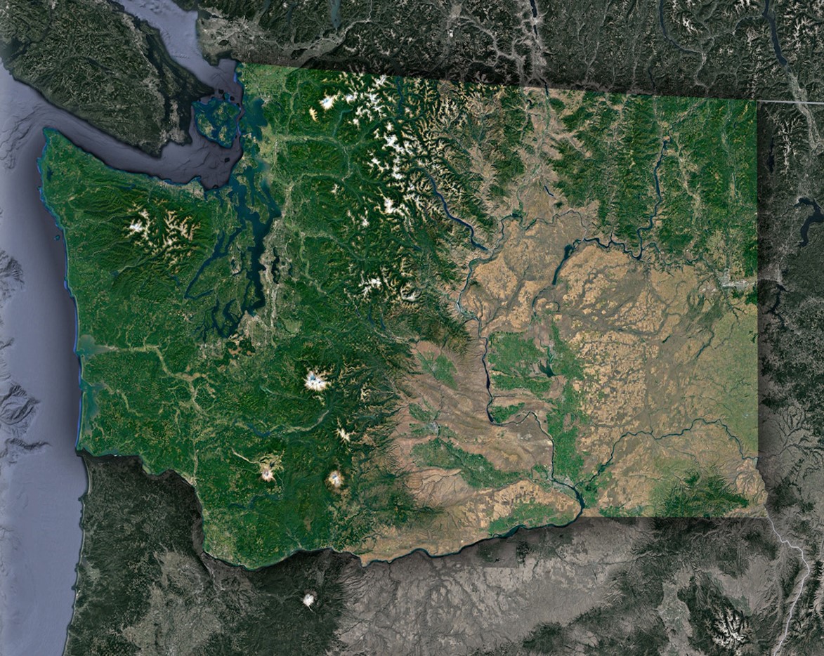 Washington Satellite Map
From revolutionizing navigation to aiding in disaster relief efforts, satellite maps have transformed the way we interact with and understand our world. Some of the most exciting and impactful benefits of satellite maps are:
- Improved Accuracy and Precision: Satellite maps provide us with highly accurate and precise data about the Earth’s surface. This data is essential for scientific research, resource management, and urban planning. With satellite maps, we can measure land use, monitor climate patterns, and track changes in the landscape with incredible accuracy.
- Cost-effective and efficient: Satellite maps are incredibly cost-effective and efficient, allowing us to map large areas of the Earth’s surface quickly and accurately. This is particularly useful in remote or inaccessible areas where traditional surveying methods would be impractical or impossible.
- Enables Better Decision-making: Satellite maps provide us with a comprehensive view of the Earth’s surface, allowing us to make informed decisions about resource management, urban planning, and disaster response. By analyzing satellite data, we can make more effective decisions that benefit society and the environment.
- Provides Vital Information for Disaster Response: Satellite maps are crucial for disaster response and recovery efforts. They allow us to quickly assess the damage caused by natural disasters such as earthquakes, hurricanes, and wildfires, and to coordinate response efforts more effectively. In some cases, satellite maps can also help us predict natural disasters and prevent or mitigate their effects.
- Supports Environmental Conservation: Satellite maps are essential tools for monitoring and managing natural resources, including forests, oceans, and wildlife. They allow us to track changes in the environment over time and develop strategies for conservation and sustainability. By using satellite maps, we can better protect the Earth’s natural resources for future generations.
- Enables Better Urban Planning: Satellite maps are crucial for urban planning, helping us to map out the layout of cities and towns and make informed decisions about transportation, infrastructure, and land use. They also help us to monitor urban development, detect changes in population density, and plan for future growth.