
Wachusett Mountain Raised-Relief Map Planning
Wachusett combines a summit-oriented ski network with lower-mountain learning terrain and the broader context of Wachusett Mountain State Reservation. A physical map needs an explicit boundary so it does not confuse ski-area orientation with a general mountain or hiking map.
Plan a Wachusett Map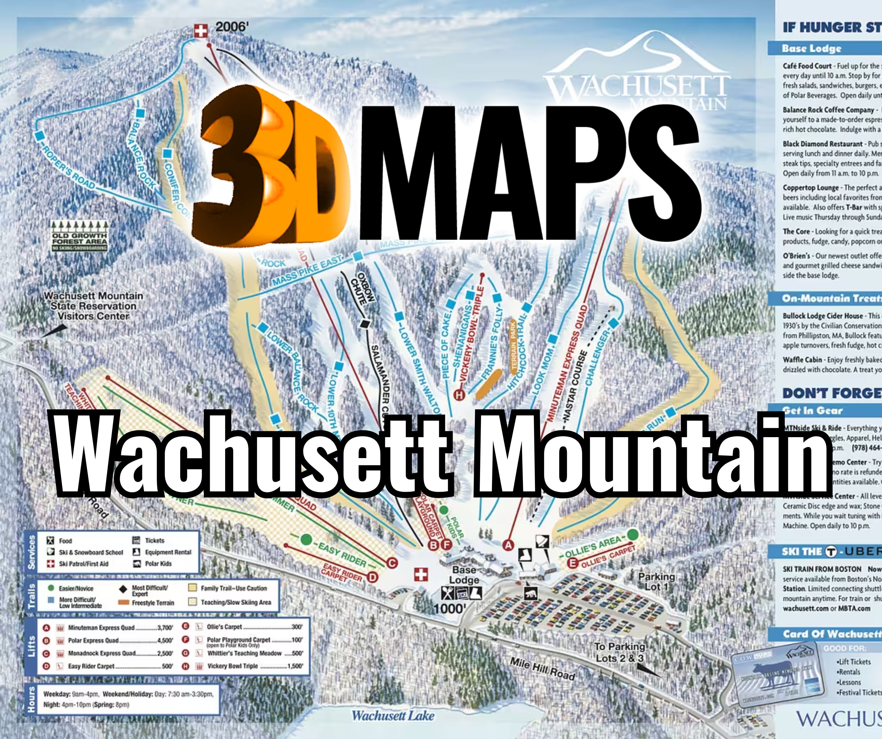
Choose ski area, whole mountain, or a deliberate combination
A lift-served trail display and a general Wachusett Mountain model answer different questions. The first emphasizes summit-to-base routes, lifts, learning terrain, and the lodge. The second may include hiking access, the state reservation, roads, and a larger landform. Mixing both without hierarchy can make the physical map ambiguous.
Write the map boundary as a sentence before creating artwork. For example, define whether the model ends at the ski-area perimeter or continues far enough to place reservation landmarks in context. That sentence becomes a check against later requests that would dilute the primary purpose.
See how an Aspen map connects terrain to a retail setting
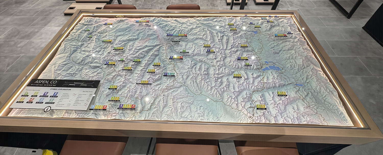
The supporting WhiteClouds project is an Aspen, Colorado topographical map displayed in a glass tabletop case at an Arc'teryx retail location. It shows how a destination landscape can become part of an interior experience. It is not a Wachusett map and supplies no Wachusett terrain data.
Keep winter and non-winter information intelligible
The model can carry more than one route system only when viewers can tell those systems apart.
Ski network
Prioritize lifts, winter trails, base facilities, and the summit-to-lodge relationship for guest orientation.
Hiking context
Add hiking routes only when the display has an interpretive or mixed-season purpose and a distinct visual key.
Reservation landmarks
Use selected context points to orient the mountain without turning the project into a regional map.
Seasonal change
Consider replaceable graphics or a separate legend when the same physical terrain must support different seasonal messages.
Resolve the map authority and intended season
A combined source package should identify which map controls each layer.
- Terrain surface and exact physical boundary
- Current resort trail and lift artwork
- Approved hiking or reservation routes, if included
- Required visitor-center, summit, and base labels
- Primary season and any secondary seasonal use
- Wall or tabletop dimensions and orientation
- Viewing distance, lighting, access, and destination
Let the 1,000-foot vertical read before secondary context
The official stats identify a 1,000-foot vertical from the ski terrain to the summit. The relief should make that form understandable while preserving enough horizontal room for trails and lift lines. A surrounding landscape crop can help orient the mountain, but it should not visually reduce the central slope unless regional context is the project's main purpose.
Test labels against the chosen orientation. A north-up institutional map and a base-facing guest map may place text differently, especially near the summit and lower learning zones. Approve one primary view before final label positioning.
Request pricing for a Wachusett Mountain 3D map
Provide the ski-area or reservation boundary, current terrain and route sources, included seasons, required landmarks, display dimensions, orientation, placement details, destination, and date.