
Loon Mountain 3D Map Across Three Peaks
Loon Mountain's three-peak structure makes continuity the central physical-map problem. A successful display should help viewers move from one terrain region to the next while keeping lift connections, base areas, and the long east-west footprint legible at the intended wall or table size.
Plan a Loon Mountain Map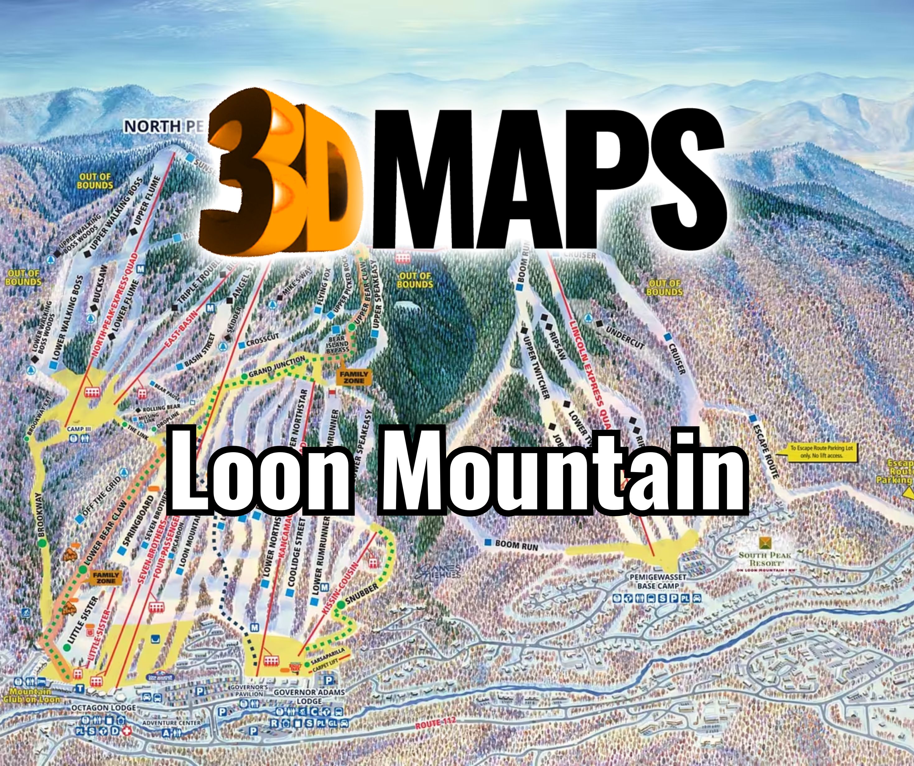
Give all three Loon peaks enough physical width
The outer peaks should not become compressed bookends around a visually dominant center. Start with the minimum label size and the connections viewers must follow, then calculate the wall or table width needed to preserve those relationships. Relief depth can be adjusted after the horizontal reading problem is solved.
The official statistics describe 73 trails and 13 lifts. That density calls for hierarchy rather than equal emphasis. Major connectors, primary lifts, and base relationships can lead; secondary names can move to a legend when direct labeling causes collisions.
A three-peak proof should be tested as a continuous route-reading surface, not merely as an attractive mountain profile. Viewers may need to follow connections across saddles and between base areas. The model size, line weight, and legend strategy should preserve those cross-peak movements while still allowing each peak to read as a distinct part of the whole. If the final installation is wall-mounted, eye level and side viewing should also be checked across the full horizontal span. This test can reveal where labels need a key instead of direct placement on the terrain.
Study a long Southeast Alaska map
The supporting WhiteClouds project depicts Southeast Alaska around Ketchikan in a large raised-relief display with extensive place labeling. It demonstrates how a long geographic subject can remain coherent at scale. It does not depict Loon Mountain and contributes no Loon trail data.

Help viewers cross the Loon map without losing orientation
The graphic layer should reinforce the continuous landform.
Peak hierarchy
Name each peak clearly while preserving the visual relationships among their slopes.
Lift links
Emphasize the uphill routes and transfer points that connect terrain regions.
Base transitions
Use a consistent symbol system for arrivals and lower-mountain connections.
Seasonal layers
Keep winter information primary unless another network has a defined, updateable role.
Prepare one synchronized three-peak source set
A single approval date helps prevent mismatched information across the mountain.
- Current winter terrain and trail source
- Approved boundary covering all three peaks
- Priority lifts, connectors, and base areas
- Minimum direct labels and legend content
- Winter-only or multi-season information decision
- Finished width, relief depth, and mounting structure
- Viewer distance, installation access, destination, and deadline
Request pricing for a Loon Mountain 3D map
Provide the current three-peak map source, intended boundary, priority connections and labels, display dimensions, viewing distance, mounting or table requirements, destination, and schedule.