
King Pine 3D Map: Alpine Hill or Wider Resort Network?
A King Pine physical map can focus tightly on the alpine hill or expand into the surrounding resort and Nordic network. Those are different information scales, and the display becomes more useful when the buyer chooses one primary story instead of reducing every winter activity to tiny symbols on a single model.
Plan a King Pine Map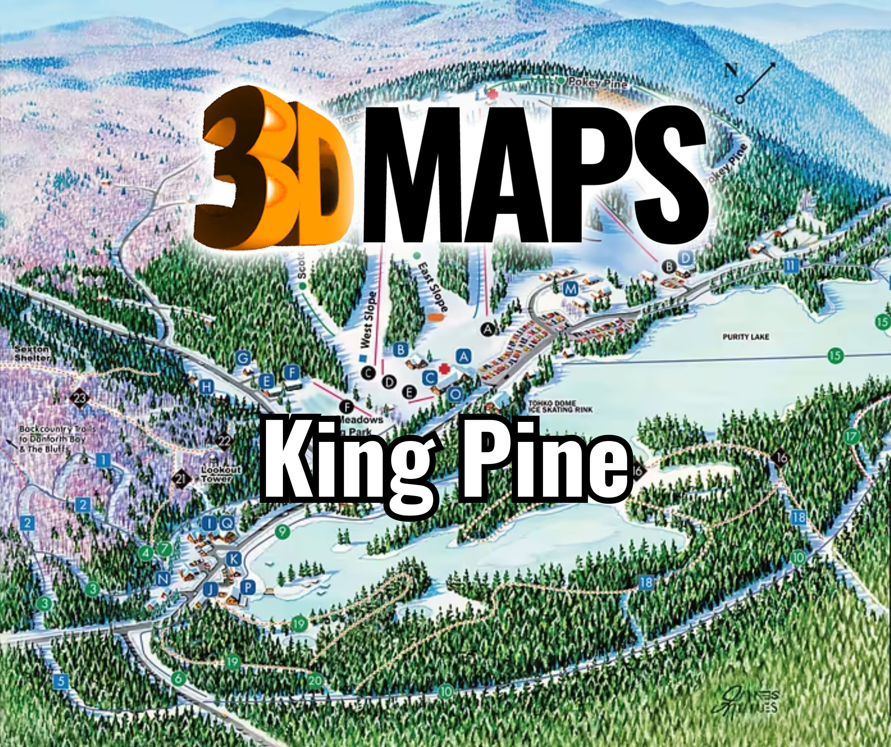
Choose alpine detail or whole-resort reach
An alpine-only map can give trails, lifts, learning areas, and the base relationship enough room to read quickly. Expanding to the Nordic network changes both the footprint and the minimum useful scale. If both systems matter equally, paired panels may preserve more information than one highly compressed terrain surface.
The official alpine and Nordic sources should be dated together. Routes that are temporary or operational should not be made permanent without an update plan.
When the Nordic network is included, the buyer should decide whether it needs full terrain treatment or a simpler locator relationship to the alpine hill. That choice affects scale, orientation, and label density. A companion panel can preserve the different character of each network while keeping their geographic connection understandable. Both pieces can share a title system and locator cue without forcing unlike route networks into one legend.
Match information density to the selected King Pine extent
The display format should follow the chosen network rather than force both into the same graphic treatment.
Alpine focus
Prioritize slope relief, lift relationships, learning areas, and the immediate base.
Nordic reach
Use a broader footprint and lighter relief where long route continuity matters more than steep terrain.
Resort anchors
Add lodging and activity points only when they help viewers move between networks.
Paired panels
Coordinate color and legend design when each system needs its own physical scale.
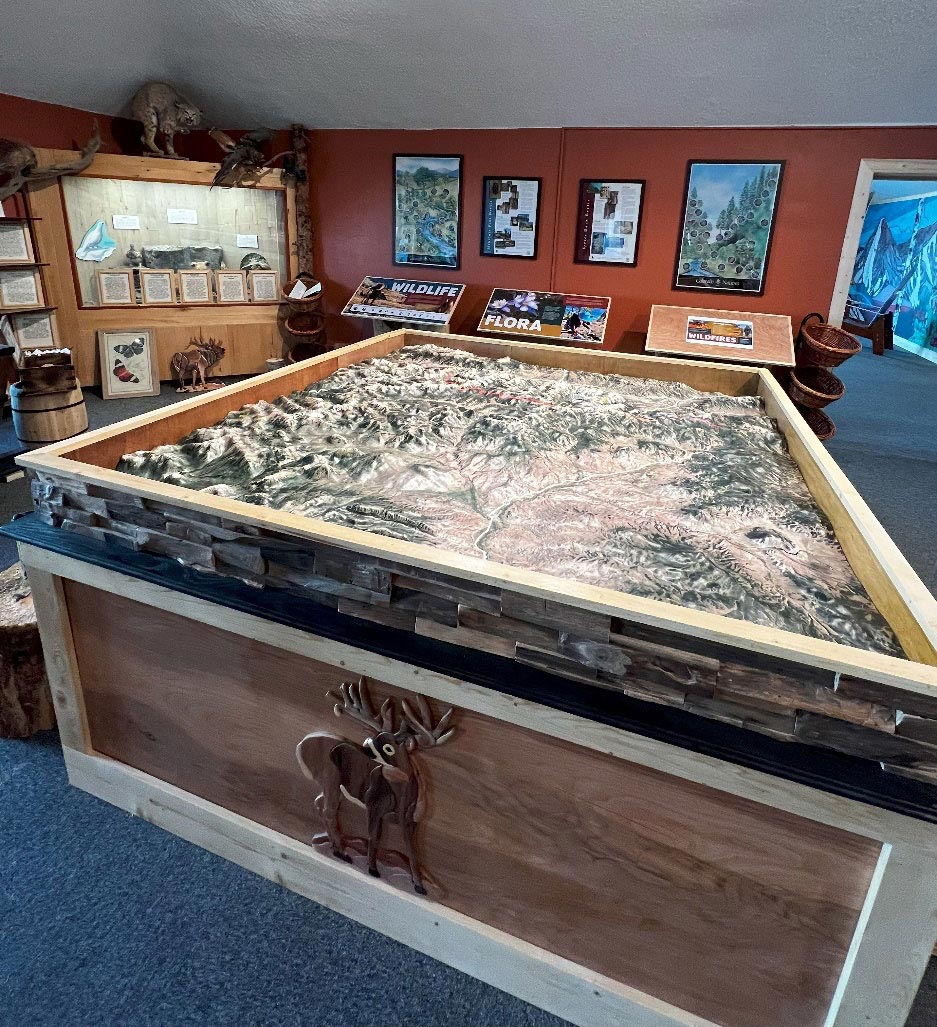
Monarch Mountain in a Colorado visitor-center setting
The supporting photograph shows a completed WhiteClouds topographical map of Monarch Mountain in Colorado at a visitor center and gift shop. It demonstrates a central terrain display for public viewing. It is not King Pine imagery and supplies no New Hampshire route data.
Define the network before setting the model size
The source package should reflect the exact scope selected for the display.
- Alpine-only, whole-resort, or paired-map boundary
- Current alpine trail and lift file
- Current Nordic and snowshoe route file if included
- Permanent lodging and activity anchors
- Required labels, legend, and viewing distance
- Wall, tabletop, or paired-panel installation
- Available footprint, access, destination, and deadline
Request pricing for a King Pine 3D map
Send the selected alpine or resort boundary, current route sources, required anchors and labels, display format, dimensions, viewing distance, installation details, destination, and schedule.