
Planning a Four-Season 3D Map of Granite Gorge
Granite Gorge publishes distinct winter and summer trail maps, making it a useful candidate for a physical display designed around seasonal change. The model can share one terrain base while keeping ski and bike information visually separate and maintainable.
Plan a Granite Gorge Map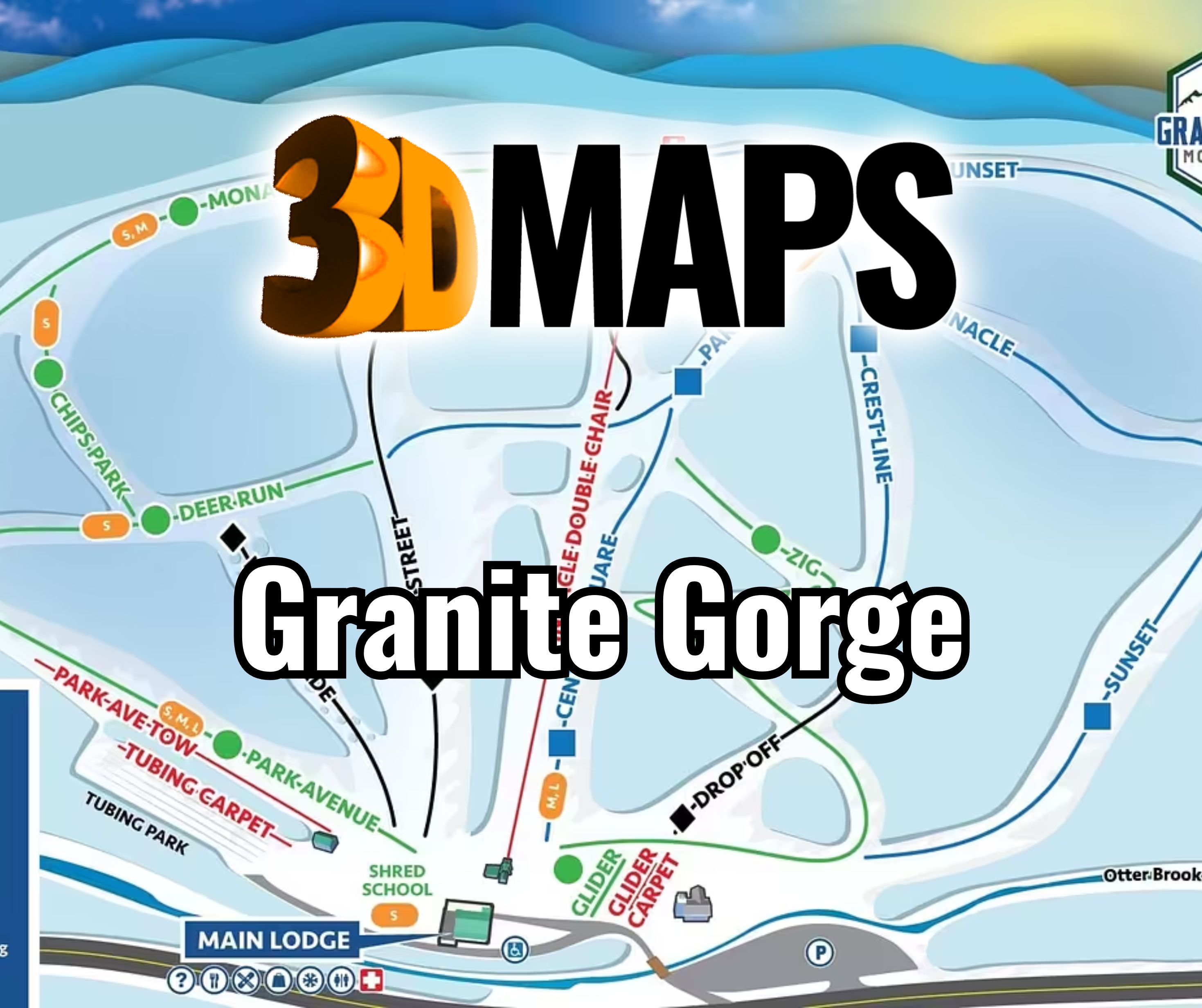
Start with one terrain model and two information plans
The landform can remain constant while route networks, activity labels, and operating priorities change by season. Decide whether viewers must see winter and summer information at the same time. If not, a replaceable overlay, panel, or legend may produce a clearer display than combining both networks permanently.
The boundary should follow the terrain shared by both uses, with enough base context for arrival and orientation. Seasonal activities outside that boundary should not enlarge the model unless they support a defined visitor task.
Review a Monarch Mountain display from Colorado
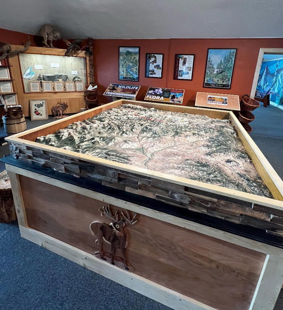
The supporting image depicts a completed WhiteClouds map for Monarch Mountain's visitor-center setting in Colorado. It shows how a ski destination can use a physical map for guest interpretation. It is not a Granite Gorge map and supplies no Granite Gorge terrain or route data.
Give shared and changing information separate roles
A clear system keeps the map from becoming an overlap of colored lines.
Shared terrain
Use the landform, base relationship, and permanent landmarks as the stable foundation.
Winter layer
Prioritize ski trails, lift routes, and winter facilities from the approved current source.
Summer layer
Represent bike routes and summer-use markers with a distinct visual or replaceable treatment.
Legend
Design the key around the selected seasonal behavior rather than trying to explain every layer at once.
Coordinate both seasonal source packages
Each route network should have a dated, approved authority.
- Exact shared terrain boundary
- Current winter trail and lift map
- Current summer bike-route map
- Permanent facilities and seasonal landmarks
- Overlay, reversible-panel, or simultaneous-display choice
- Dimensions, orientation, relief, and viewing distance
- Placement, access, destination, and schedule
Decide what can change before fabrication
Seasonal maps are most useful when update behavior is designed from the beginning. A replaceable graphic layer needs alignment, access, and durable attachment details. A permanent combined surface needs enough visual separation to work without seasonal removal.
Test both states at full size. Labels that look clear in isolated winter and summer proofs may conflict when placed on the same terrain, especially near a compact base area.
Record where replacement graphics will be stored and who can reach them after installation. That practical decision can influence the frame, mounting height, fasteners, and whether a removable legend is more useful than a full-surface overlay.
Request pricing for a Granite Gorge 3D map
Provide the shared property boundary, approved winter and summer source files, seasonal-display strategy, required facilities, dimensions, orientation, placement, destination, and schedule.