
Planning a Custom 3D Map of Cannon Mountain
A Cannon Mountain display needs to clarify a large vertical landscape that includes Cannon and Mittersill, extensive lift-served terrain, and two base-area contexts. Its physical scale and orientation should be chosen around that two-area relationship.
Plan a Cannon Mountain Map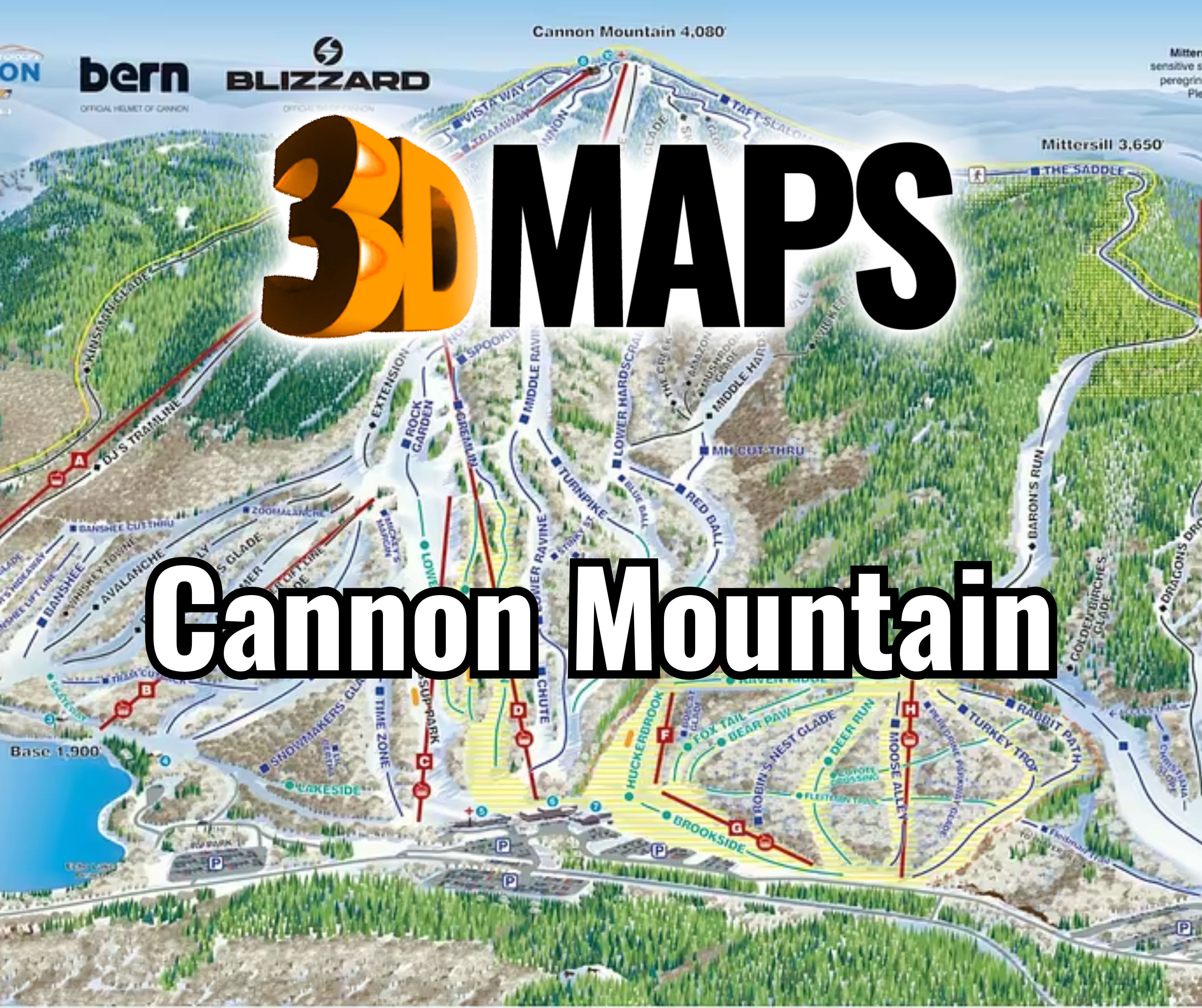
Frame Cannon and Mittersill as one deliberate subject
The physical boundary should include enough of both Cannon and Mittersill to explain their relationship, along with the base areas needed for orientation. Adding too much surrounding notch scenery can reduce the ski terrain to a decorative center. Adding too little can make the two areas feel disconnected.
Confirm the primary viewer position at the same time as the boundary. A map approached from one base-area context may use a different orientation than an institutional display intended to present the mountain geographically.
Review a verified Switzerland wall map
A WhiteClouds project for a Swiss hotel resort provides the secondary visual on this page. Its installation illustrates a wall-oriented terrain presentation, while its identity and geography remain entirely separate from the proposed Cannon and Mittersill subject.

Let the mountain form carry the first reading
Cannon's vertical should remain evident before viewers study routes and labels.
Cannon terrain
Preserve the summit-to-base form and the principal lift-served relationships at the center of the reading order.
Mittersill terrain
Keep the adjoining area visibly connected while allowing its own relief structure to remain distinct.
Two base areas
Use facility markers and route hierarchy to explain the separate arrival and operating contexts.
Notch context
Include surrounding landforms only where they improve orientation or meet a defined interpretive goal.
Confirm the large-mountain source package
Buyer-approved current data should control final terrain and graphic content.
- Exact Cannon, Mittersill, and notch boundary
- Current elevation, trail, lift, and base-area sources
- Required destination and facility labels
- Primary viewer position and map orientation
- Display width, height, and relief allowance
- Lighting, mounting height, and viewing distance
- Installation route, destination, and schedule
Test relief depth and fine routes together
A tall terrain subject may benefit from substantial relief, but deeper form can cast shadows across route graphics and labels. Evaluate physical relief, color hierarchy, and installation lighting as one system rather than approving each in isolation.
Full-size proofs should include the smallest required labels near both base areas. If those labels cannot be read from the expected distance, enlarge the display or simplify the information layer instead of reducing text indefinitely.
The mounting height also affects the lower slopes. A steep viewing angle can hide terrain behind the frame or adjacent relief, so the prototype should be checked from the approach used by actual visitors.
Request pricing for a Cannon Mountain 3D map
Provide the approved Cannon and Mittersill boundary, current map sources, base-area and label priorities, dimensions, orientation, lighting, installation access, destination, and target date.