
Planning a Custom 3D Map of Bretton Woods
A Bretton Woods physical map can span multiple named terrain areas, including Mount Rosebrook, Mount Stickney, West Mountain, and the resort base context. The planning challenge is giving that broad geography a clear hierarchy instead of shrinking every feature equally.
Plan a Bretton Woods Map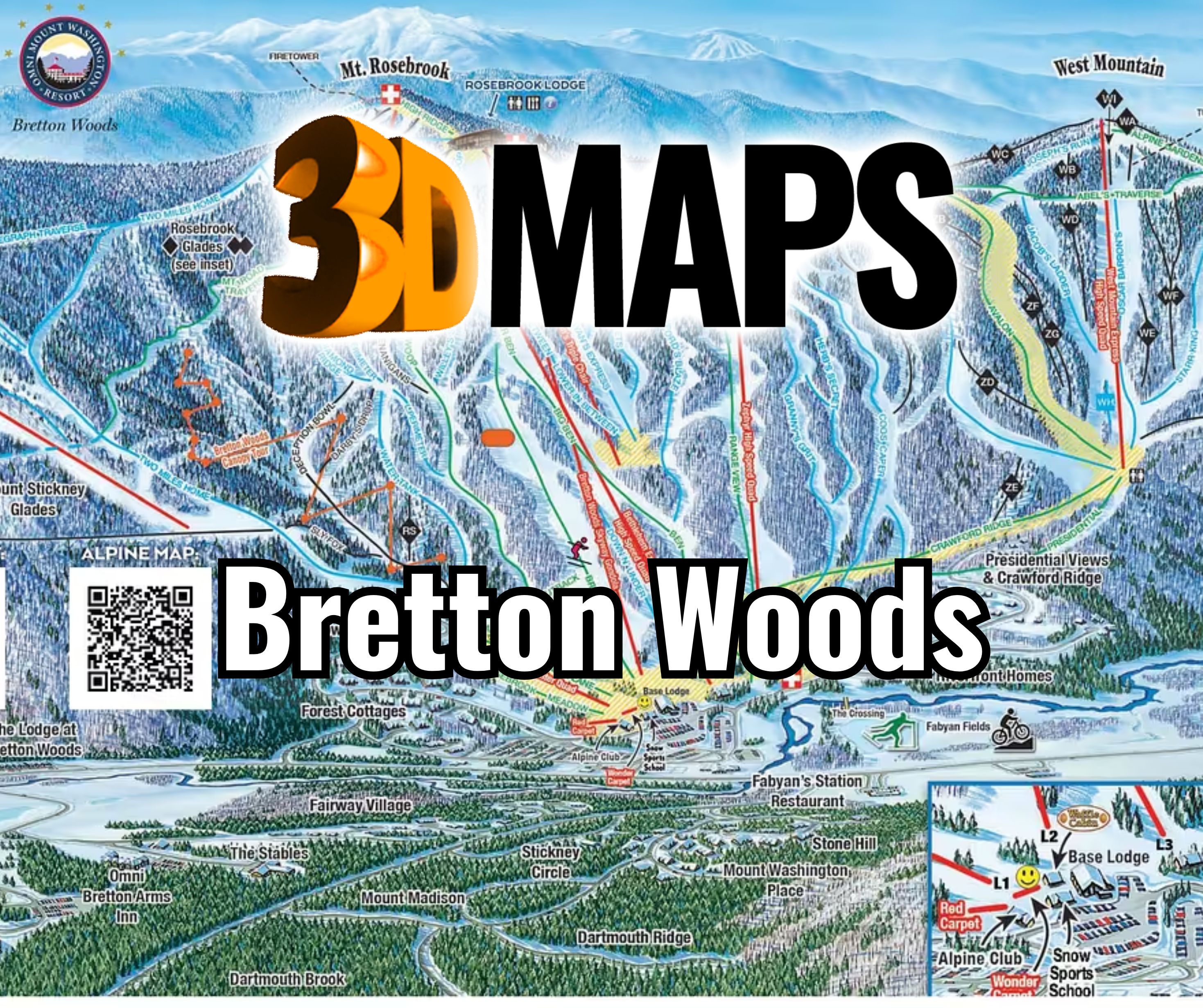
Choose which Bretton Woods geography belongs on the model
A broad resort map becomes useful only after the buyer decides what it must explain. Guest navigation may require the alpine terrain, lifts, connectors, and base facilities. A lodging or sales display may also need selected roads, resort buildings, or surrounding landmarks. Each added layer reduces the room available for trail names.
Write the intended extent in geographic terms and confirm the named mountain areas that must remain visible. This creates a stable boundary for terrain data, graphic proofs, and final fabrication.
Use Deer Valley to study information hierarchy
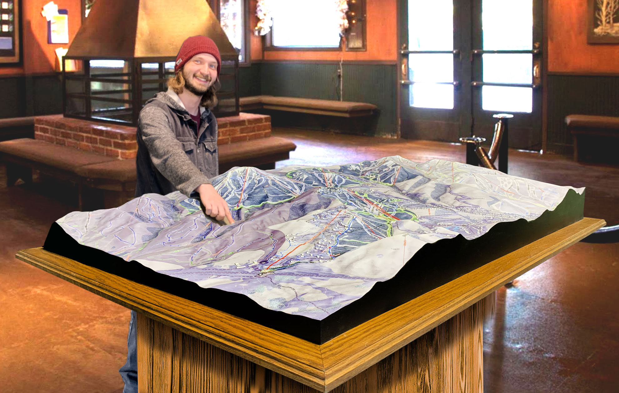
The supporting image shows a completed WhiteClouds topographical development map for Deer Valley Ski Resort in Utah. It illustrates how terrain and development layers can coexist in one display. It does not depict Bretton Woods and provides no source data for this map subject.
Let viewers understand the resort before reading details
The named areas should read at a glance while still functioning as one map.
Mount Rosebrook
Establish the central terrain relationship and its connection to the primary base area.
Mount Stickney
Preserve enough relief and open space for this area to remain identifiable at the selected scale.
West Mountain
Keep the western extent visually connected without forcing the rest of the map to become too small.
Resort context
Add only the buildings and access features that serve the display's specific visitor or sales purpose.
Approve the geographic and graphic source package
The current project files selected for fabrication should govern the finished terrain and labels.
- Exact alpine and resort-context boundary
- Current terrain, trail, lift, and connector data
- Required named areas and base facilities
- Primary viewing direction and legend position
- Wall or freestanding display dimensions
- Relief depth, frame, lighting, and viewing distance
- Installation access, destination, and schedule
Protect the named areas from label congestion
A broad map can look spacious in a screen proof and become crowded when reproduced at its physical size. Test the longest labels, connector lines, and facility markers at one-to-one scale. Secondary names can move to a legend rather than competing with the terrain.
If the display will be viewed from several angles, define one primary reading position and test the secondary positions separately. Relief shadows, frames, and mounting height can change which areas remain easiest to see.
Request pricing for a Bretton Woods 3D map
Provide the approved geographic boundary, current terrain and resort sources, required named areas, dimensions, orientation, viewing context, installation details, destination, and schedule.