
A Raised-Relief Map Concept for Beartown Ski Area
A physical map of Beartown Ski Area should begin with a buyer-approved terrain boundary, not assumptions carried over from a generic mountain illustration. The useful concept is a focused raised-relief display that makes the chosen slopes, lift or tow routes, base features, and labels understandable at the size and viewing distance of the installation.
Plan a Beartown Map
Define Beartown from approved map files
The controlling source may be a current trail map, GIS export, survey, site plan, elevation model, or a coordinated combination supplied by the buyer. It should establish the footprint, orientation, names, and date of the information before relief or graphics are designed. The legacy concept image can suggest a display category, but it should not decide the geography.
A short source schedule is useful: identify who owns each file, which version is current, and who can approve the final terrain and label proof. That keeps route changes or conflicting names from becoming permanent features of the finished map. The buyer can also identify features that should remain editable, allowing permanent terrain to stay useful when route names, operating details, or facility labels change.
Choose what the Beartown display must explain
A strong physical map has one primary job and a controlled information hierarchy.
Terrain form
Use relief to establish the landform and the relationship between upper and lower terrain before adding route graphics.
Operating layer
Include only the lifts, tows, trails, buildings, or access points that the approved use case requires.
Reader orientation
Set north-up or guest-facing orientation according to how viewers will approach the display.
Update strategy
Move changeable names or operating details to a replaceable legend when they should not be embedded permanently.
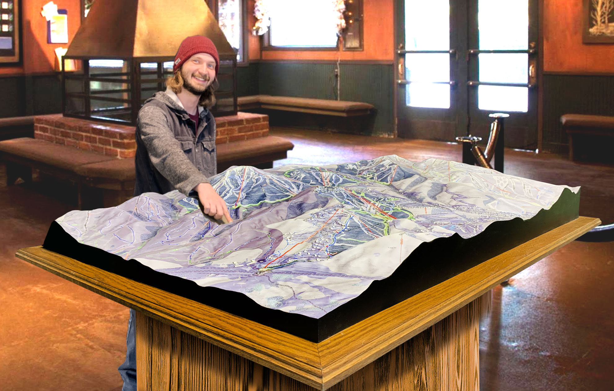
Use the Deer Valley map only as a format reference
The supporting photograph shows a completed WhiteClouds map of Deer Valley Ski Resort in Utah. Its framed terrain, route graphics, and development information demonstrate how a large resort subject can be organized physically. It does not depict Beartown and supplies no Beartown boundary, labels, customer history, or project provenance.
Resolve these inputs before a physical proof
The quote request becomes more useful when it defines both information and installation constraints.
- Authoritative terrain boundary and source date
- Required route, lift or tow, building, and access layers
- Primary viewer position and map orientation
- Minimum labels and required legend content
- Finished width, available depth, and mounting method
- Indoor or outdoor setting and nearby lighting
- Delivery location, access limits, and required date
Request pricing for a Beartown Ski Area 3D map
Send the controlling geographic files, intended boundary, required route and facility layers, target dimensions, viewing distance, orientation, display environment, destination, and deadline.