
Planning a Custom 3D Map of Attitash
An Attitash physical map has to explain two connected mountain areas as one destination. The central planning problem is deciding how Attitash and Bear Peak share scale, labels, and visual priority without losing the connection between them.
Plan an Attitash Map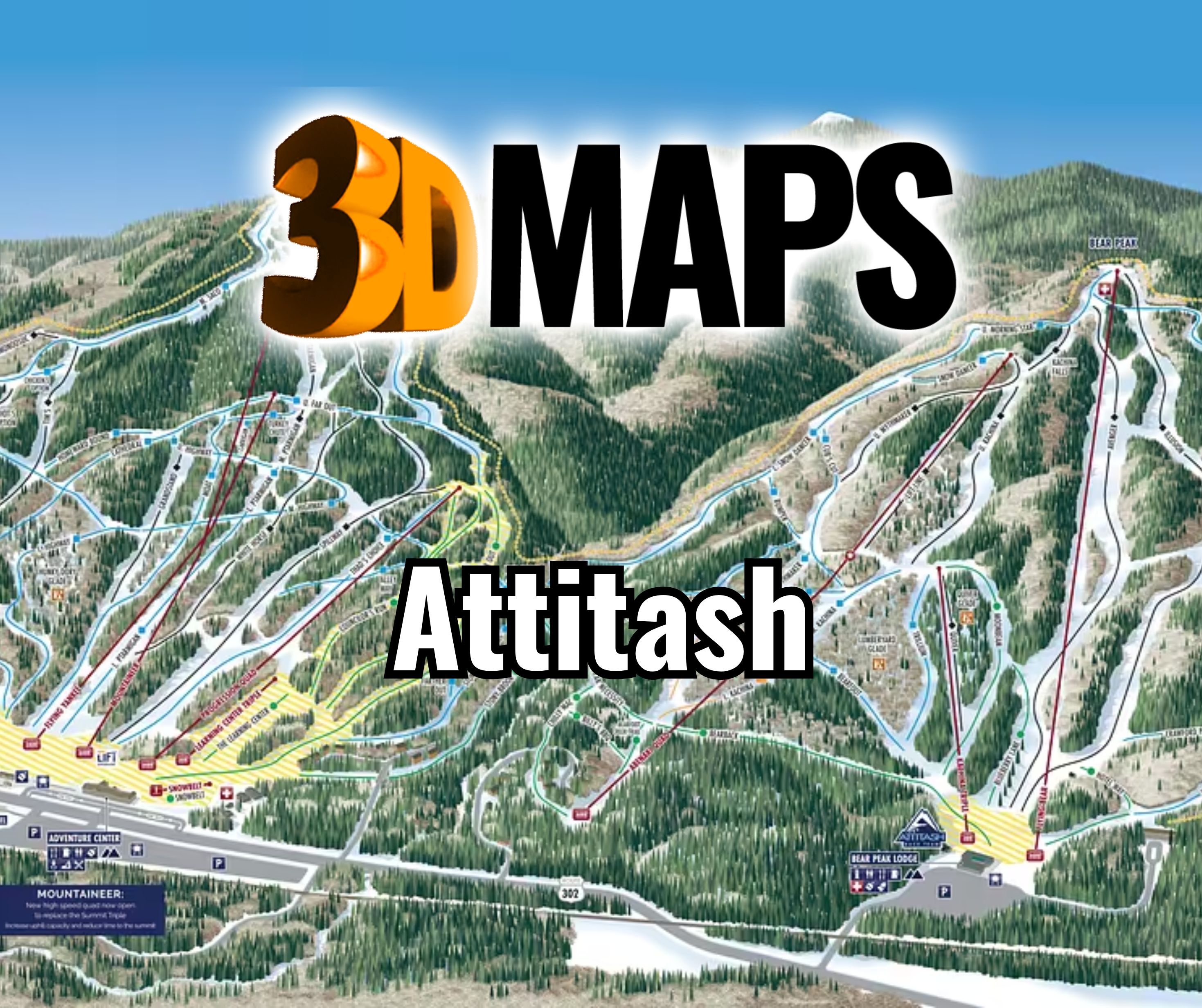
Keep Attitash and Bear Peak connected
A physical map can lose the logic of a resort when each mountain is treated as an isolated form. The boundary should include both peaks, the useful connecting terrain, and enough base-area context for viewers to understand how the destination operates. Peripheral landscape belongs only when it supports that reading.
Set a priority for the connector before scale is approved. If the display is too narrow, either the peaks become cramped or the space between them disappears. A wide proof can test the balance before terrain fabrication begins.
Review a Winter Park wall map from another location
The supporting image depicts a completed WhiteClouds map installed at Zero Creek Gear House for the Winter Park resort area in Colorado. It demonstrates a broad wall-map format. It does not show Attitash or provide Attitash geography.

Give each mountain a role in the display
The two landforms should read separately and together.
Attitash side
Preserve its terrain silhouette and base relationship without crowding the inter-peak connection.
Bear Peak side
Maintain comparable visual clarity even if buyer priorities assign one side more label detail.
Connection
Use route hierarchy and open space to keep movement between the mountain areas understandable.
Resort bases
Identify only the facilities necessary for orientation, sales, or the intended visitor task.
Confirm the source and display decisions
The resort's current approved files should govern final terrain and route graphics.
- Exact two-peak boundary
- Current terrain, trail, lift, and connector sources
- Required base facilities and destination labels
- Geographic or guest-facing orientation
- Wall dimensions and viewing distance
- Relief depth and any vertical exaggeration
- Installation surface, access, destination, and schedule
Avoid a dense band between the peaks
Connecting routes, lifts, and facility names can accumulate in the middle of a two-peak composition. Establish label tiers so critical orientation remains clear and secondary names move to a legend or are omitted at smaller scales.
A full-size graphic proof should be reviewed from the expected viewing distance. This test is especially important when the map will be mounted high or viewed while guests move through a lodge or sales environment.
The proof should also show the proposed frame and any legend area. Those elements consume real width, so testing the terrain alone can overstate the room available for Bear Peak, Attitash, and the routes that connect them.
Request pricing for an Attitash 3D map
Provide the approved Attitash and Bear Peak boundary, current map sources, connector and label priorities, dimensions, orientation, viewing distance, placement, destination, and target date.