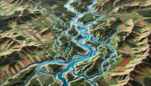
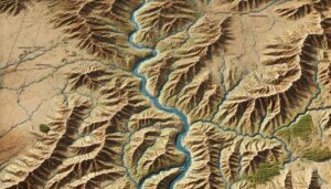
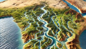
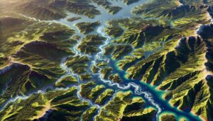
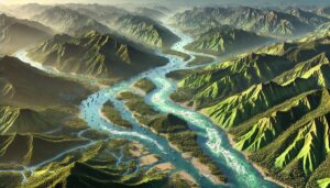
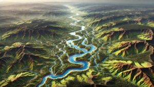
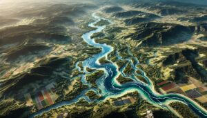
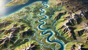
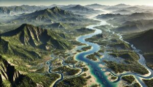
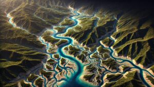
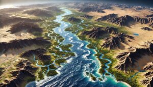
Congo Watershed Maps
Congo’s watershed maps are crucial for managing river systems, predicting floods, and ensuring sustainable water use. These maps help allocate water for agriculture, industry, and communities while addressing climate change challenges. By monitoring water availability, flood risks, and ecosystem health, these maps guide water management efforts, ensuring that the Congo River Basin’s resources are protected for future generations and supporting both the environment and local economies.