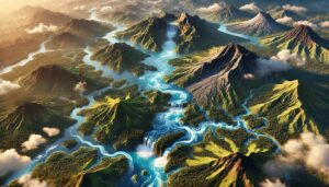
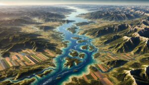
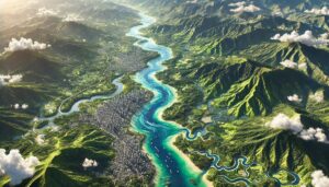
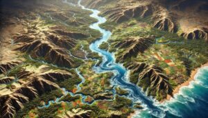
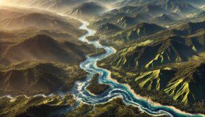
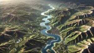
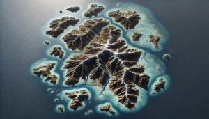
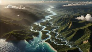
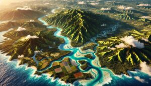
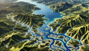
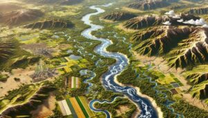
Author: Toby Gordon

Togo Watershed Maps

Togo Watershed Maps

Togo’s watersheds, including the Mono and Togo River Basins, are essential for agriculture and ecosystems. Modern technologies like 3D mapping, GIS, and remote sensing play a key role in managing these vital water systems. These technologies help monitor water availability, predict flood risks, and address challenges like water scarcity, ensuring sustainable water use and improving resilience to climate change and population growth.

Read More »
Guatemala Watershed Maps

Guatemala Watershed Maps

Guatemala’s watersheds are crucial for the country’s ecology and economy, providing water for agriculture, urban areas, and biodiversity. This blog explores the challenges in water management, the role of 3D watershed maps in conservation, and sustainable water use strategies. Learn how advanced mapping technologies help address water pollution, climate change impacts, and ensure the protection of Guatemala’s vital water systems for future generations.

Read More »
Croatia Watershed Maps

Croatia Watershed Maps

Croatia’s watershed maps are crucial for managing river systems, predicting floods, and ensuring sustainable water use. These maps help allocate water for agriculture, industry, and communities while addressing climate change challenges. By monitoring water availability, river flow, and water quality, they support effective water management strategies, flood prevention, and ecosystem protection, ensuring that Croatia’s water resources are preserved for future generations.

Read More »
Mozambique Watershed Maps

Mozambique Watershed Maps

Mozambique’s watersheds are crucial for ecosystems, agriculture, and water management. This blog explores the Zambezi, Limpopo, and Save river basins and their ecological significance. It highlights how advanced 3D mapping technologies, including GIS and remote sensing, are used to create detailed watershed maps that help monitor river flow, predict climate change impacts, and support sustainable water management in the face of future challenges.

Read More »
Sri Lanka Watershed Maps

Sri Lanka Watershed Maps

Sri Lanka’s watersheds, including the Mahaweli, Kelani, and Walawe River Basins, are vital for agriculture and ecosystems. Learn how modern technologies like 3D mapping, GIS, and remote sensing help manage these systems, ensuring sustainable water use and addressing challenges like water scarcity, climate change, and population growth.

Read More »
Senegal Watershed Maps

Senegal Watershed Maps

Senegal’s watersheds, including the Senegal and Casamance River Basins, are crucial for agriculture and ecosystems. This blog explores how modern technologies like 3D mapping, GIS, and remote sensing help manage these water systems. These tools are essential for ensuring sustainable water use, addressing challenges such as water scarcity, climate change, and growing population demands, while protecting Senegal’s valuable ecosystems.

Read More »
Saudi Arabia Watershed Maps Saudi Arabia Watershed Maps

Saudi Arabia Watershed Maps

Saudi Arabia’s watersheds, such as the Tihamah and Najran River Basins, are vital for agriculture, ecosystems, and water management. Learn how modern technologies like 3D mapping, GIS, and remote sensing help manage these systems, ensuring sustainable water use and addressing challenges like water scarcity, climate change, and growing population demands.

Read More »
Mongolia Watershed Maps

Mongolia Watershed Maps

Mongolia’s watersheds are crucial for the nation’s ecosystem, agriculture, and culture. This blog delves into their geography, hydrology, and ecological importance. Learn how advanced technologies, like satellite imagery and LiDAR, create 3D watershed maps that help track water systems, manage resources, and predict climate change effects. These maps are essential for conserving Mongolia’s water resources and ensuring sustainability for future generations.

Read More »
Liberia Watershed Maps

Liberia Watershed Maps

Liberia’s watersheds play a vital role in agriculture, hydropower, and ecosystems. This blog explores their importance, challenges, and how 3D watershed maps contribute to managing water resources, reducing pollution, and supporting conservation efforts. Learn how mapping technologies help Liberia navigate water scarcity, climate change, and resource management challenges for a sustainable future.

Read More »
Lebanon Watershed Maps

Lebanon Watershed Maps

Lebanon’s watersheds play a vital role in agriculture, hydropower, and ecosystems. This blog examines their importance, challenges, and how 3D watershed maps help manage water resources, reduce pollution, and support conservation efforts. Learn how mapping technologies help Lebanon navigate water scarcity, pollution, and climate change challenges for sustainable water management.

Read More »
Honduras Watershed Maps

Honduras Watershed Maps

Honduras’s watersheds are crucial for agriculture, biodiversity, and water supply. This blog examines their significance, the challenges they face, and the role of 3D watershed maps in managing water resources. Learn how mapping technologies help reduce pollution, prevent flooding, and support conservation efforts. Discover how these tools contribute to sustainable water management and help safeguard Honduras’s water systems for future generations.

Read More »
Marshall Islands Watershed Maps

Marshall Islands Watershed Maps

The Marshall Islands faces unique challenges in managing its water resources due to limited freshwater sources and climate change. This blog explores how 3D watershed maps help the country manage and protect its water resources, address challenges such as saltwater intrusion and pollution, and ensure sustainable water management for the future.

Read More »
Jamaica Watershed Maps

Jamaica Watershed Maps

Jamaica’s watersheds are essential for agriculture, energy, and ecosystems. This blog examines the challenges they face and how 3D watershed maps help manage water resources, reduce pollution, and support conservation efforts. Learn how mapping technologies contribute to sustainable water management and the protection of Jamaica’s vital water systems.

Read More »
Samoa Watershed Maps

Samoa Watershed Maps

Samoa’s watersheds, such as the Vaisigano and Fuluasou River Basins, are essential for agriculture and ecosystems. This blog explores how modern technologies like 3D mapping, GIS, and remote sensing help monitor and manage these water systems. These tools are vital for ensuring sustainable water use, addressing challenges such as water scarcity, climate change, and growing demand, while protecting Samoa’s unique ecosystems.

Read More »
Nicaragua Watershed Maps

Nicaragua Watershed Maps

Nicaragua’s watersheds, such as the Río San Juan and Lake Cocibolca, are crucial for agriculture, ecosystems, and water management. This blog explores the significance of these watersheds and how modern technologies like 3D mapping, GIS, and remote sensing help manage and monitor water systems. These tools provide essential data to address challenges such as climate change, seasonal fluctuations, and sustainable water use for future generations.

Read More »
Guinea Watershed Maps

Guinea Watershed Maps

Guinea’s watersheds are vital for the country’s ecology and economy, providing water for agriculture and biodiversity. This blog explores the challenges they face, the role of 3D watershed maps, and the conservation strategies needed to protect these critical resources for the future.

Read More »

Get a Free Quote on a Custom 3D Billboard

Get a Free Quote