Exploring Alaska’s Immense Geography
Alaska doesn’t just feel big—it rewrites your understanding of size altogether. Distances stretch, horizons widen, and familiar measurements start to lose meaning. Roads end abruptly. Mountains rise higher than entire states. Glaciers move like slow rivers of ice, carving landscapes on a scale that feels almost unreal. So how big is Alaska? The short answer is: incredibly big. The long answer is much more fascinating. Alaska is not just the largest state in the United States. It is a geographic outlier, a landmass so vast that comparisons to other states barely make sense. To understand its size, you have to think in terms of continents, time zones, ecosystems, and sheer physical presence. Alaska isn’t simply large—it’s expansive in every possible dimension.
The Numbers That Redefine “Big”
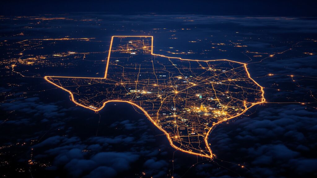
Alaska covers approximately 663,300 square miles, making it by far the largest U.S. state. In fact, it’s larger than the next three largest states—Texas, California, and Montana—combined. That single statistic alone begins to hint at how extraordinary Alaska’s scale really is. To put it another way, Alaska accounts for roughly one-fifth of the entire land area of the United States. If Alaska were its own country, it would rank among the largest nations on Earth by landmass. But even these numbers don’t fully capture what Alaska feels like on the ground—or in the air, or on the water.
Alaska Compared to the Rest of the United States
Alaska is so large that it stretches across four time zones, though most of the state operates on a single standard time for practicality. You could fit dozens of U.S. states inside Alaska and still have room to spare.
If you overlaid Alaska on the contiguous United States, it would stretch from coast to coast. Southeast Alaska alone would reach down into California, while the Aleutian Islands would extend far into the Pacific Ocean, nearly touching Asia. This geographic reach makes Alaska feel less like a state and more like an entire region—or even a continent—of its own.
A Landscape That Spreads in Every Direction
One reason Alaska feels so immense is that it expands not just horizontally, but in variety. The state includes towering mountain ranges, sprawling tundra, dense boreal forests, massive glaciers, wetlands, volcanoes, fjords, and more coastline than the rest of the United States combined.
Alaska has over 6,600 miles of coastline when measured traditionally—and more than 33,000 miles when including every inlet, bay, and island. That’s longer than the coastline of the contiguous United States.
This means Alaska’s size isn’t uniform. It folds, curves, and stretches in ways that make the land feel endlessly complex and expansive.
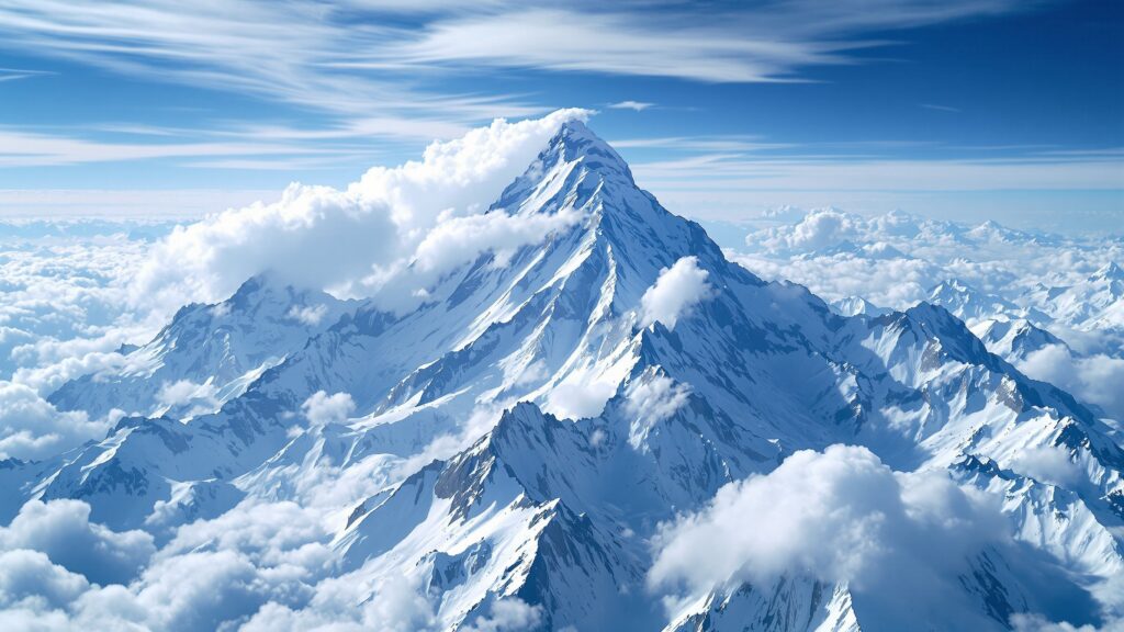
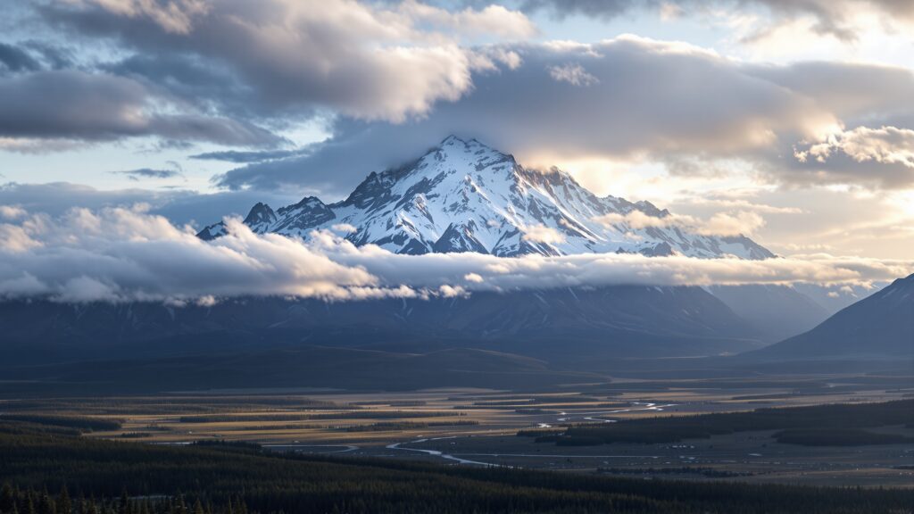
Mountains That Add Vertical Scale
Alaska doesn’t just spread wide—it rises high. The state is home to Denali, the tallest mountain in North America, standing at 20,310 feet above sea level. Surrounding Denali are vast mountain ranges like the Alaska Range, Brooks Range, and Chugach Mountains, each contributing to the state’s immense vertical scale.
These mountains create landscapes where valleys can stretch for dozens of miles, and peaks dominate the skyline in every direction. Elevation adds another layer to Alaska’s size, making the land feel stacked rather than flat.
Glaciers That Move Like Continents
Alaska contains roughly 100,000 glaciers, covering tens of thousands of square miles. Some glaciers are longer than entire river systems in other states, slowly flowing across the land like frozen highways.
These glaciers actively reshape the terrain, carving valleys and fjords over centuries. Their sheer size makes Alaska feel alive and constantly in motion, reinforcing the idea that this is land on a different scale entirely.
How Big Alaska Feels When You Travel It
In Alaska, distance is measured differently. A trip that looks short on a map can take hours—or days—depending on terrain, weather, and access. Many communities aren’t connected by roads at all and rely on planes or boats instead. You can drive for hours without seeing another town. You can fly for over an hour and still be within the same state. This lack of compression—no dense urban grid, no tightly packed infrastructure—allows Alaska’s size to fully assert itself. It’s a place where travel itself becomes part of understanding scale.
Alaska vs. Countries Around the World
To truly grasp Alaska’s size, it helps to compare it to entire nations. Alaska is larger than countries like France, Germany, Spain, and the United Kingdom. It’s roughly the size of Iran and not far behind India in terms of land area.
Yet Alaska’s population is smaller than many medium-sized cities elsewhere in the world. This combination—massive land, minimal human footprint—creates a sense of openness that’s increasingly rare on Earth.
Ecosystems That Feel Endless
Alaska’s size supports an incredible range of ecosystems. The Arctic tundra in the north feels worlds away from the temperate rainforests of the southeast. Coastal ecosystems support marine life on a grand scale, while inland forests stretch unbroken for hundreds of miles. Because these ecosystems are so large and continuous, wildlife thrives in ways that feel almost prehistoric. Caribou migrate across vast regions. Bears roam territories that would encompass multiple states elsewhere. The land doesn’t feel divided—it feels whole.
Water, Ice, and the Third Dimension of Size
Water adds yet another dimension to Alaska’s scale. The state contains more than 3 million lakes, along with countless rivers and wetlands. Some rivers, like the Yukon, stretch for thousands of miles, flowing through remote terrain that feels untouched by time. Combined with glaciers and coastal waters, Alaska’s water systems make the state feel fluid and expansive. The land doesn’t just sit—it flows.
Why Alaska Feels Bigger Than the Map
Maps struggle to communicate Alaska’s true size because they flatten experience. On a map, Alaska is reduced to an outline. In reality, it’s layered with depth, weather, and time.
Weather systems move across Alaska like continental forces. Storms can cover regions larger than many states. Seasons transform the landscape dramatically, changing accessibility and perception. Winter compresses movement; summer opens vast corridors of exploration. Each season reshapes how big Alaska feels.
Alaska and the Concept of Wilderness
One of the most defining aspects of Alaska’s size is how much of it remains wild. Large portions of the state are protected land, including some of the largest national parks and wildlife refuges in the world. Wrangell–St. Elias National Park alone is larger than several U.S. states. These protected areas preserve the feeling that Alaska is not just big—but intentionally vast, safeguarded from fragmentation.
How Long Would It Take to See All of Alaska?
The honest answer is: a lifetime wouldn’t be enough. Many residents spend decades exploring just a fraction of the state. Entire regions remain accessible only by plane or boat, and weather can limit travel for months at a time.
Alaska resists completion. It isn’t a place you “finish.” It’s a place you continuously discover.
The Psychological Impact of Scale
Alaska’s size changes how people think. It encourages patience, planning, and respect for nature. Distances humble you. Weather demands preparation. The land reminds you that human presence here is temporary and small. This psychological impact is part of Alaska’s true size—not just physical, but emotional and mental.
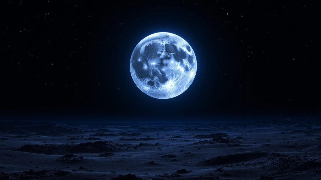
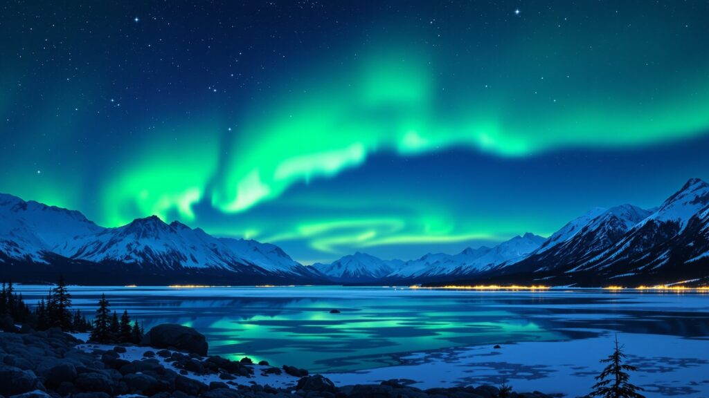
Alaska at Night: Space Above the Land
Even the sky reinforces Alaska’s scale. The aurora borealis stretches across vast horizons. Night skies feel endless, unbroken by city lights. In winter, darkness can last for weeks in the far north; in summer, daylight barely fades.
The sky becomes another dimension of size, making Alaska feel infinite both above and below.
Final Perspective: The Biggest Place in America
Alaska is not just the biggest state in America—it’s the biggest idea of place the country has to offer. At over 663,000 square miles, it challenges how we measure land, distance, and wilderness. Alaska is big in miles, big in ecosystems, big in silence, and big in imagination. It’s a reminder that truly vast places still exist—and that some landscapes are meant not to be conquered, but respected.